New Jersey Roads - I-287 - NB - N. of Morristown
 north of Morristown
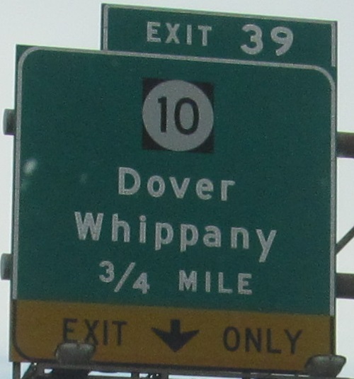
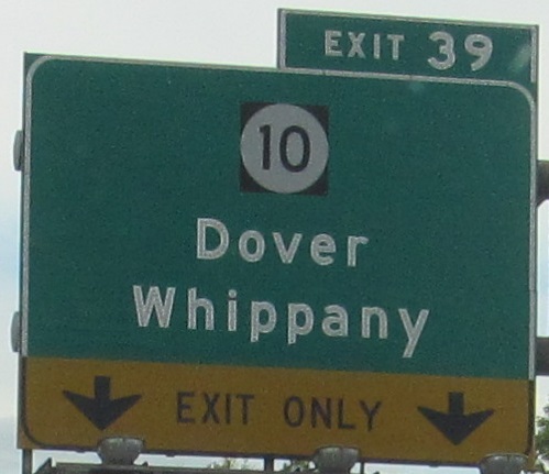
The slightly sun-adjusted nonreflective signs are at the gore of the exit ramp, and unlike most of the signage on I-287, they're nonreflective. Click on either photo to see them together at nighttime. It was probably just missed the last time signage crews came down 287, or maybe it was waiting for when NJ 10's old BGS's at 287 got replaced.
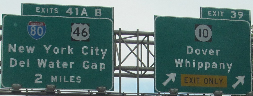
The last two photos are left and right on the same gantry.
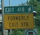
The last remaining FORMERLY I've found - there was one more on the southern NB page (linked at bottom) at Exit 33, Harter Rd., but both are gone now. I explain the renumbering there.
On the Exit 41A ramp.
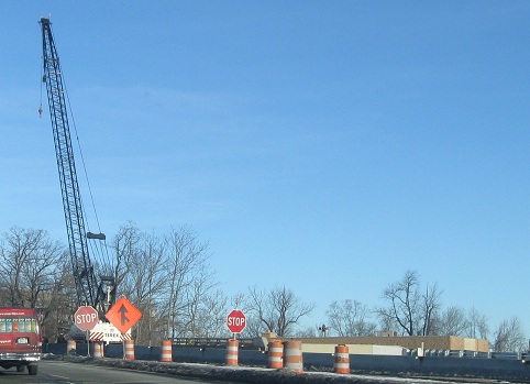
The merge from I-80 WB at Exit 41, under construction to increase the curve radius (which increases ramp speed and safety simultaneously - so much for saying speed kills).
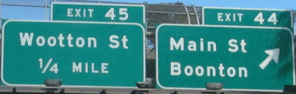
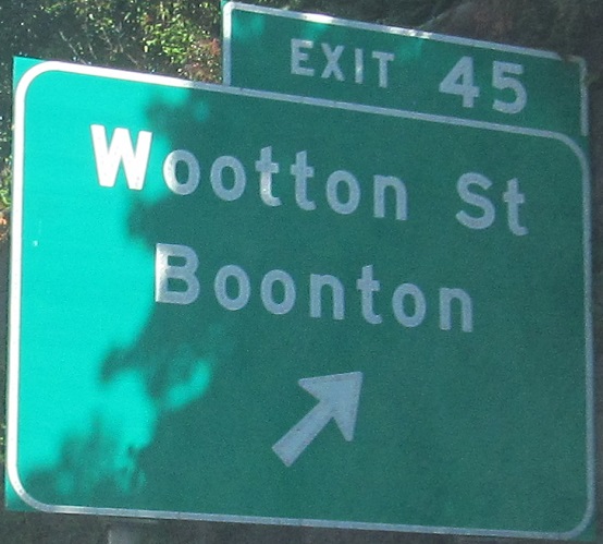
Last photo is sorta on the Exit 45 ramp, which is so short that this has already become Park Ave.
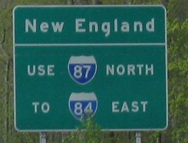
This was the end of I-287 for many decades, until the northward extension to I-287/87 in New York (where the Thruway inflects from E-W to N-S) finally opened in 1993. Yes, for thirty years, there was an I-287 in New York and one in New Jersey, the same road but unconnected, and NY had the sheer audacity to multiplex 287 with 87 in anticipation of a roadway that wasn't even approved for 20 years... well, actually, NJ had the audacity to assume I-95 would be complete, so there's not much more to say about that.
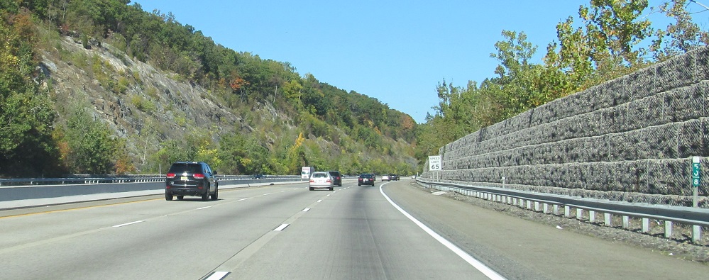
I bring you beauty and then harsh reality. Gabion stone walls were deemed more natural than sound walls for the I-287 extension, but nothing grows on them and they were probably the wrong choice in hindsight.
Typical NJDOT ramp signage, and the exit sign is still button copy - only a few roadways, like NJ 24, have even one gore exit sign remaining with button copy lettering (not counting the NJ Turnpike's overhead exit signage). The last two overhead signs are left and right on the same gantry.
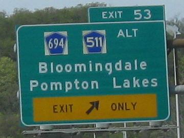
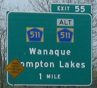
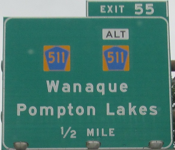
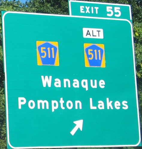
Between Exits 52 and 53, I-287 was open for a few years prior to the rest of the roadway in the area, meaning the signs there were installed by a different contractor. These mainline shields, with a D-series 511 and a text ALT, are certainly unique, and the only reflective-lettered signs for many miles around; I'm surprised that there is a documentable installation of reflective signage installed on a date prior to installation of button copy. This exit is close to the Passaic/Morris County border, but I can't excuse the lack of county name on the exit ramp shields - be proud of where you are!
Here is the normal CR (and ALT tag) style for I-287 - scroll back up to Exit 26 for proof. I don't like 'em because they're too fat. That's right, I'm being politically incorrect.
Click on the last photo for a closeup. It was that or break this into 3 photos.
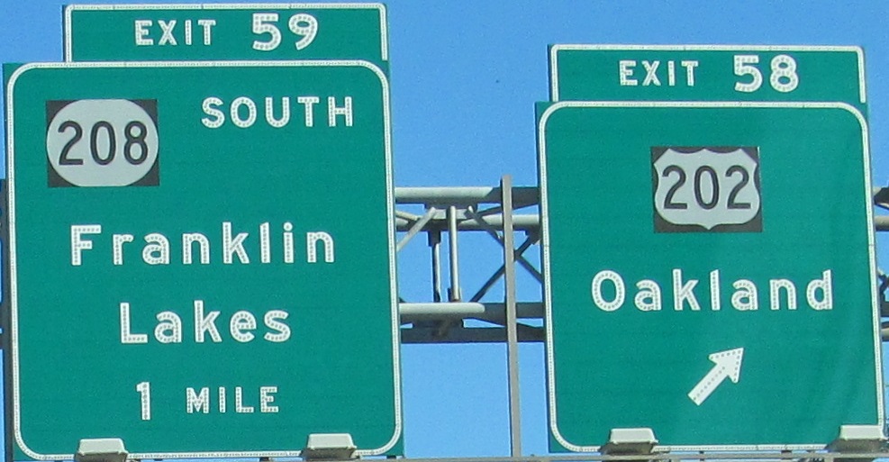
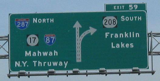
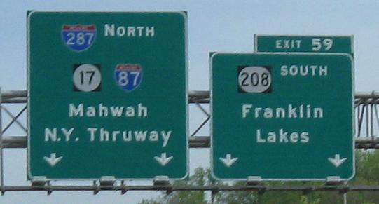
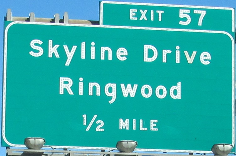
The 2nd/3rd photos are left/right on the same gantry and you then get another button-copy gore, a diagrammatic, and the beginning of NJ 208, framed by two scenic photos of the Ramapo Lake and Campgaw Mountain areas. In fact, NJ 208 originally ran northwest to Skyline Drive. I-287's originally preferred alignment took it well east of its current one, cutting through the NJ 23/US 202 multiplex instead of a few miles north (hence the really wide roadway on the multiplex just south of US 202's exit at Black Oak Ridge Road). It also would have intersected NJ 208 east of US 202, instead of absorbing the first two miles of the road. The new alignment, chosen for environmental and residential issues (people up here are RICH like you wouldn't believe), required extensive reconfiguration at Skyline Drive, and killed half of NJ 208's interchange with High Mountain Road while moving the other half of it. Go visit the NJ 208 page.
 Colors and numbers do not a shield make.
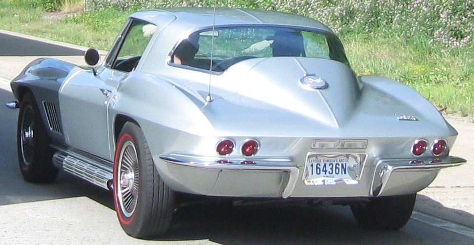
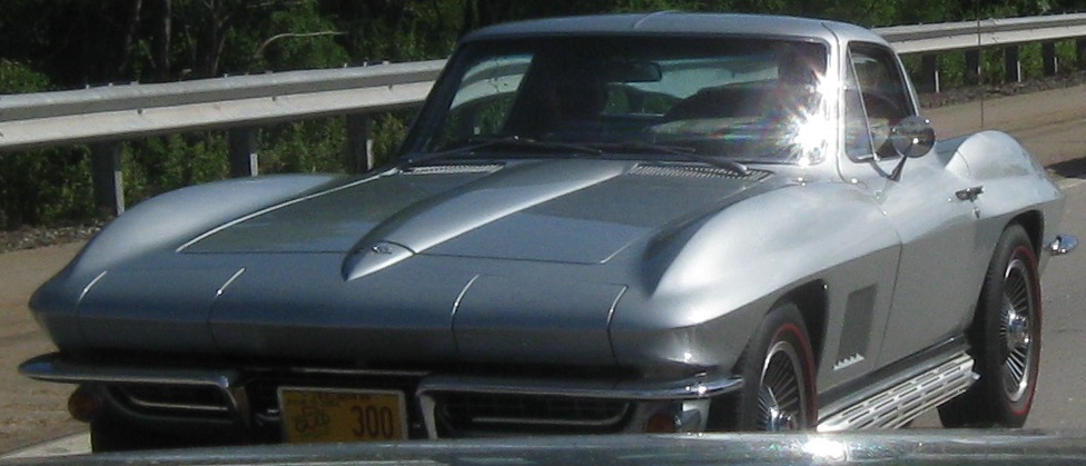
Stuck in traffic? Look for a Nunavut license plate on a 1960s sports car.
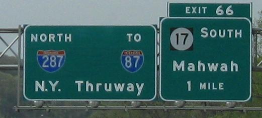
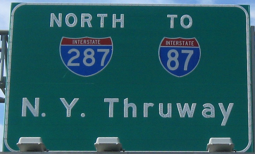
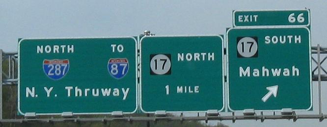
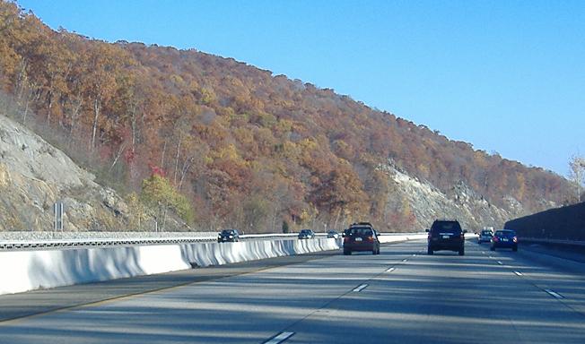
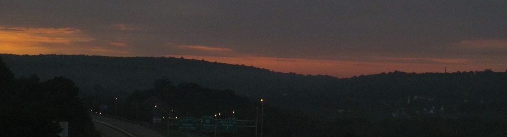
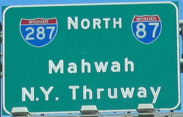
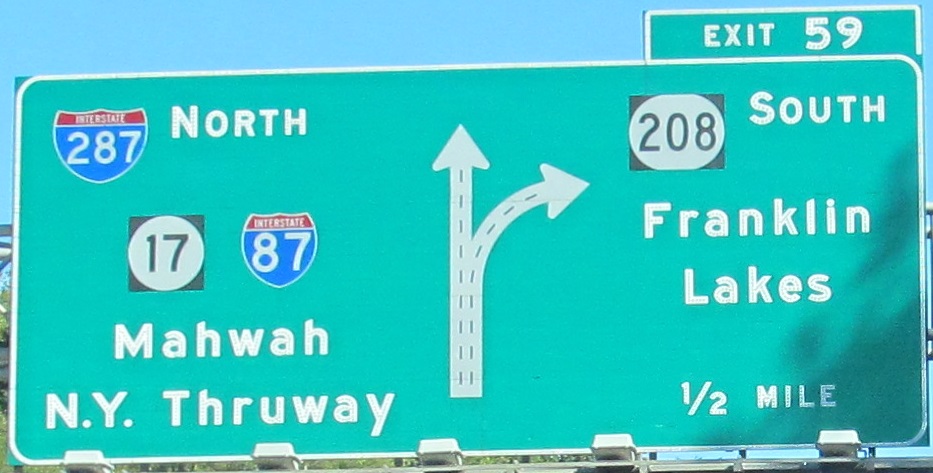
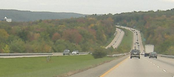
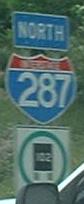
How new can a sign be and still have faded shields? Between Exits 59 and 66 are 7 miles of beautiful scenery, with I-287 rushing up and down mountainsides, unfortunately cut off from the valley with stone barriers (because trucks love to run over cliffs). I don't see why NJ 17 NORTH matters, because this is the last exit in New Jersey, and once NJ 17 merges, the next chance to follow it is as NY 17, from New York Thruway Exit 15A. J.P. Nasiatka explains that it's a remnant of when NY 17 branched off around the Hillburn Bypass, and this was intended to be a heads-up for the New York (and thus unnumbered) exit, albeit with a New Jersey shield. Once the Thruway interchange was reconfigured and Exit 15A added, the Hillburn Bypass dropped NY 17, thus making this sign irrelevant. I buy his explanation, though of course there should have been an NY shield there. The third and fourth photos are the left and right sides of the same (˝-mile) gantry.
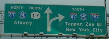
A NYSDOT sign that may technically be in New York, but it has a lot more to do with NJ 17 and the NJ half of I-287 than it does with their NY counterparts. In the early 1990's, this was just NJ-NY 17, and was then widened to fit 287, and all the ramps redone in the area - there was once a last-ditch U-turn for NB traffic that barely skimmed the NY border, but now it's just for traffic to and from a lonely hotel/conference center, and the former NY 17 Hillburn Bypass was cut off from the expanded freeway, reduced to just a one-lane onramp.
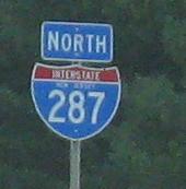
Back south on I-287 NB
Over to the SB side
Back to the I-287 main page
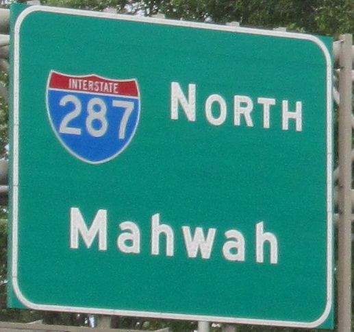
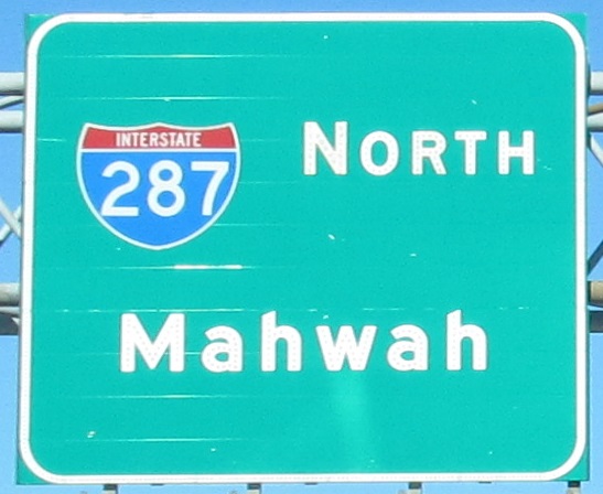
Follow I-287 into NY and I-87 or NY 17
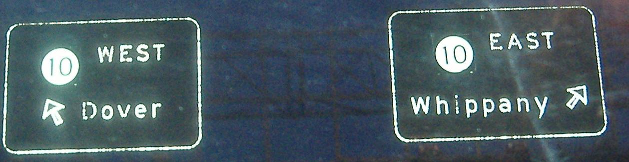
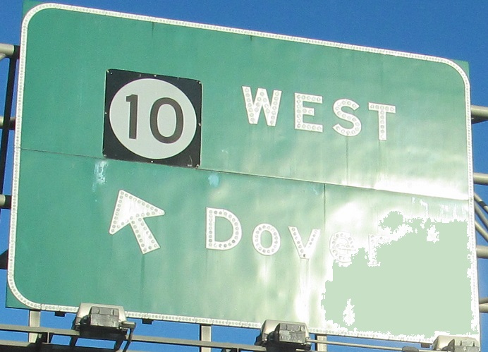
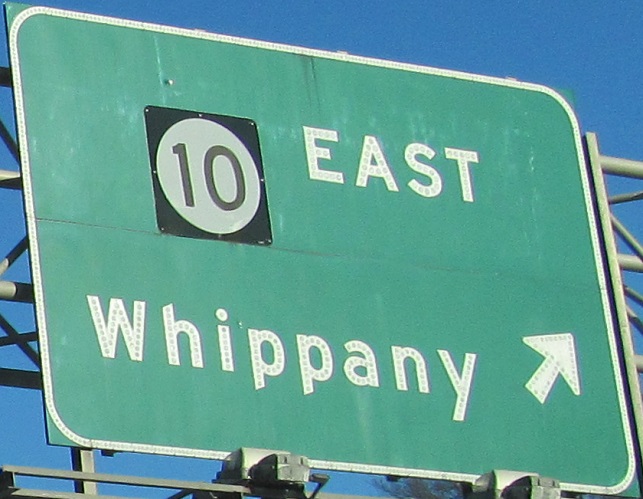
Exit 39 to NJ 10
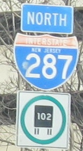
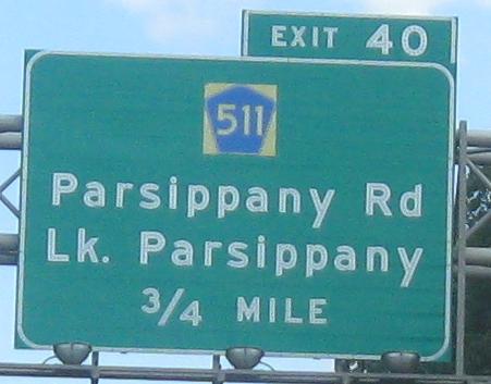
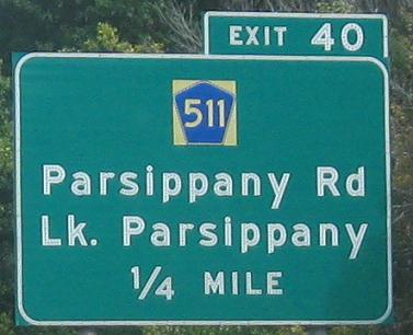
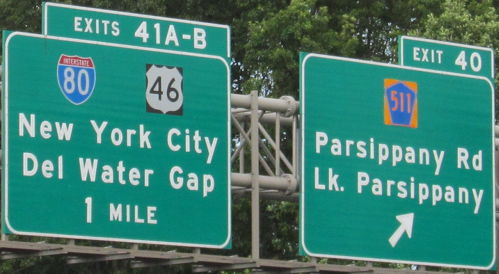
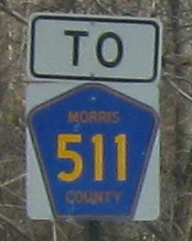
Exit 40, 45, or 55 to CR 511
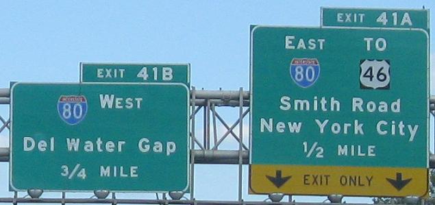
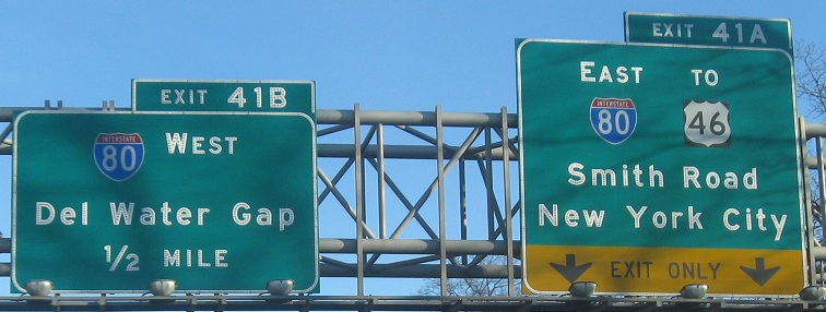
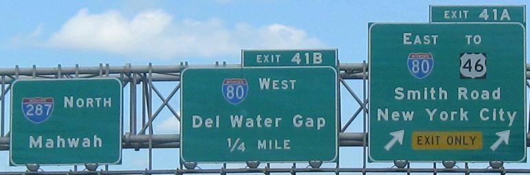
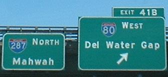
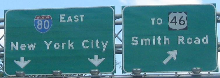
Exit 41 to I-80
Exit 41A to Smith Rd.
Exit 41A to US 46
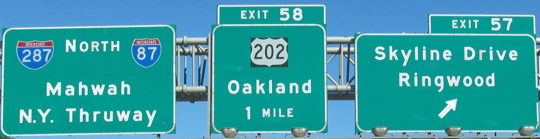
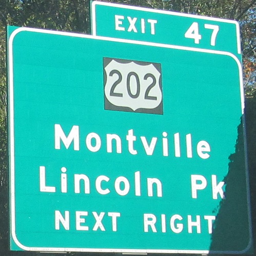
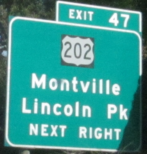
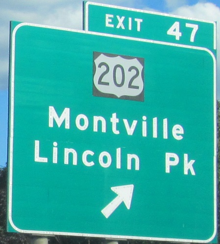
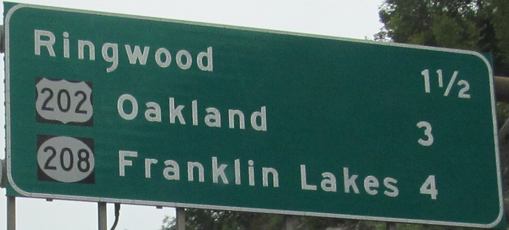
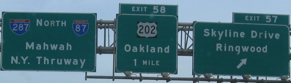
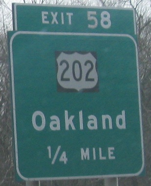
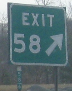
Exit 47 or 58 to US 202
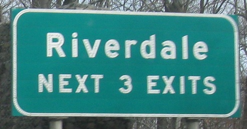
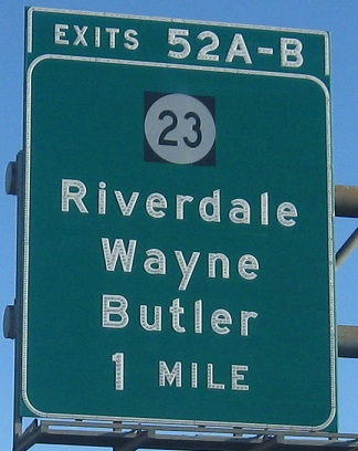
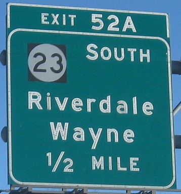
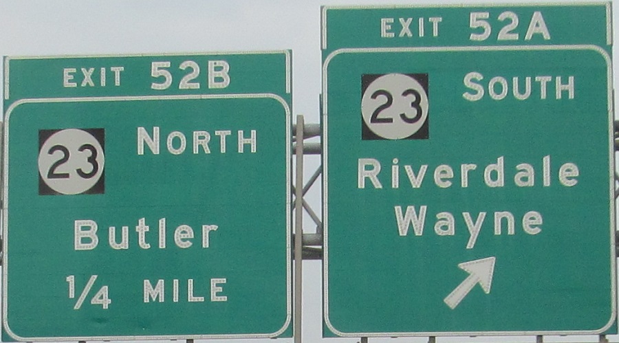
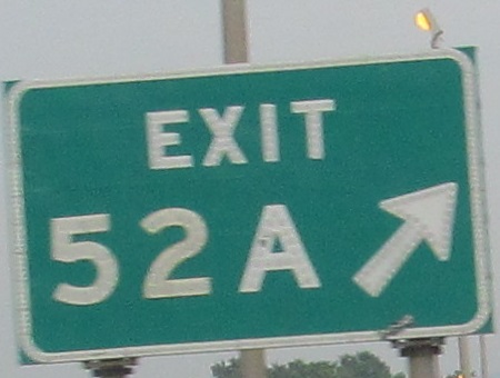
Exit 52 to NJ 23
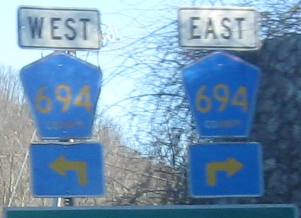
Exit 53 to CR 694
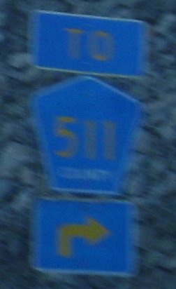
Exit 53 or 55 to Alt. CR 511
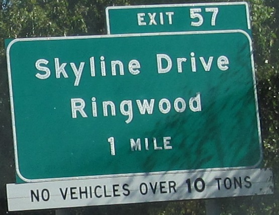
Exit 57 to Skyline Drive
Exit 59 to NJ 208
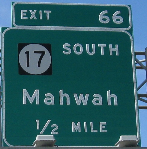
Exit 66 to NJ 17
Back to New Jersey Roads
Back to Roads