New Jersey Roads - Essex CR 609/NJ 24
Triborough Road at NJ 24
This would have been Exits 12A-B under the original NJ 24 plan that included a northern bypass of Morristown, but now would be Exits 5A-B. As you will see, there's quite a bit here, down to concrete curbs and bridge slabs, and while it would take some maintenance to bring the roadway to usable condition, the foundation is probably still sound. I grouped these photos under Essex CR 609 but they're in Morris County, and there's no knowing what number Triborough Rd. would have been assigned; 626, 627, and 629 are the lowest available.
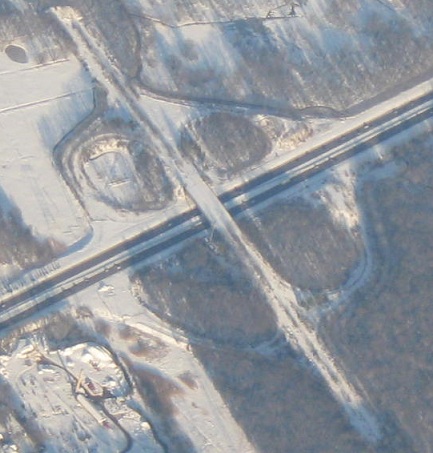
Here's what I'm exploring, as seen from a Newark-Atlanta flight. North is about 45 degrees to the left of up.
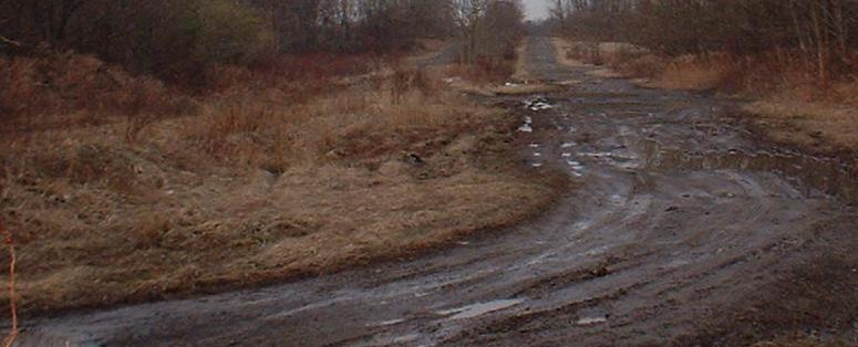
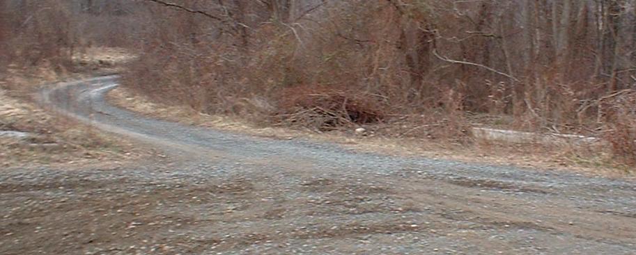
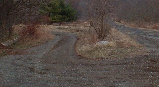
Looking north from the beginning of the roadway graded during the interchange construction. It's just forest south of here.
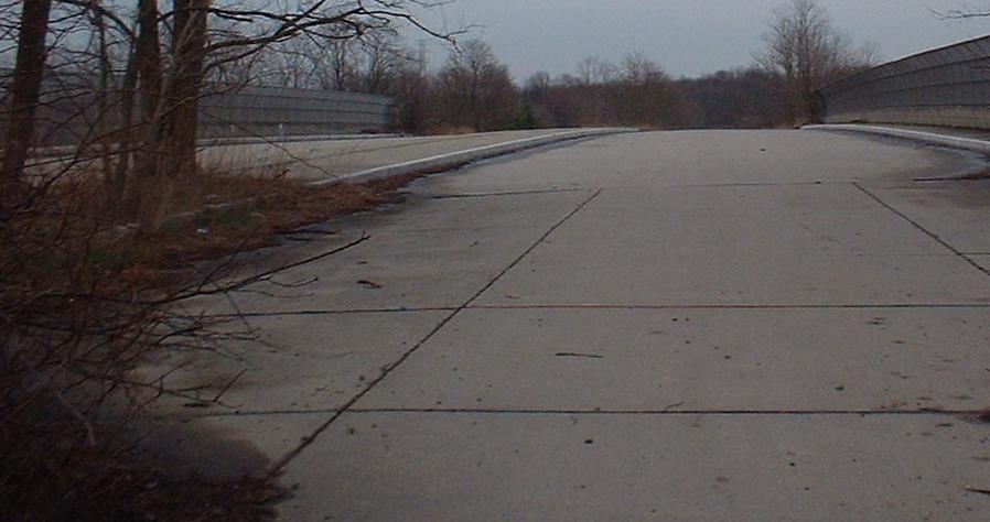
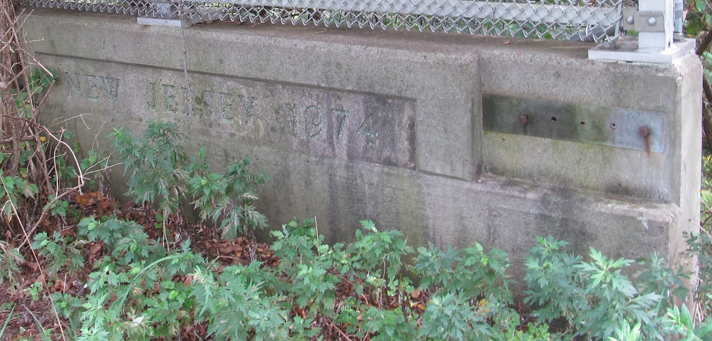
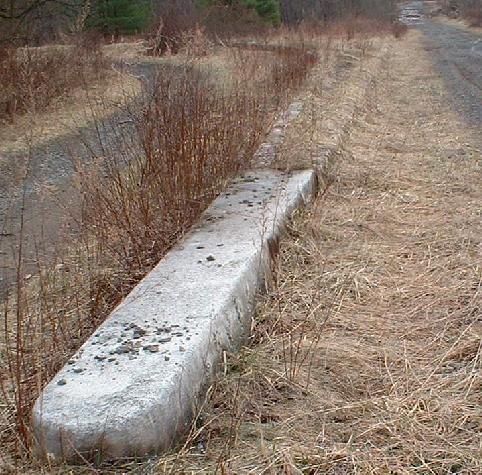
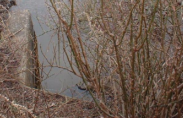
The concrete-paved (probably just base course) bridge over NJ 24, constructed in 1974, the only paved part of the Triborough Road right-of-way between Eisenhower Parkway and NJ 124. In the foreground you can see the well-built approach slabs. It is unclear whether the bridge would have been six lanes wide (because of the cloverleaf ramps on either side), or four lanes with a shoulder.
A tree grows out of the expansion joint on the SB side. There's a counterpart on the NB side, but this one was in bloom.
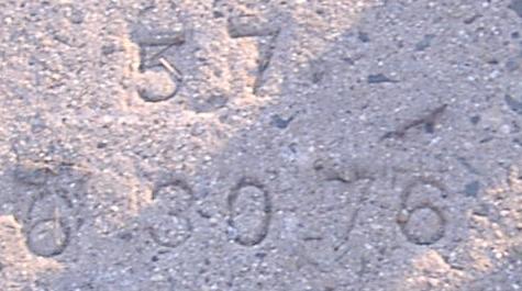
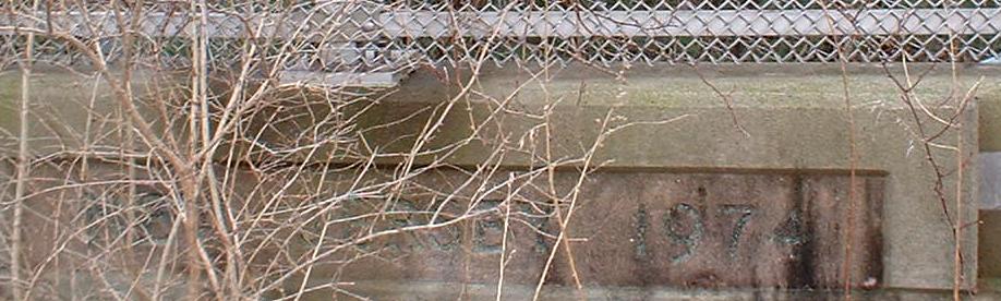
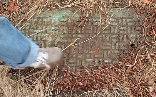
Stamped into the slab where I was standing to take the previous photo is the cryptic number 57 and the date of overpass construction.
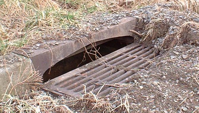
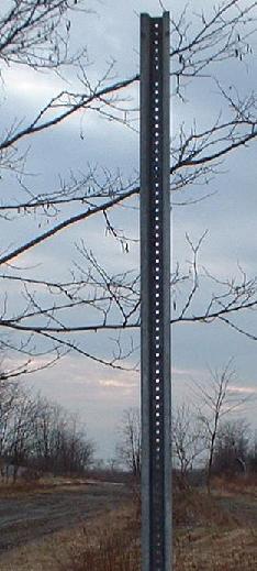
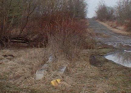
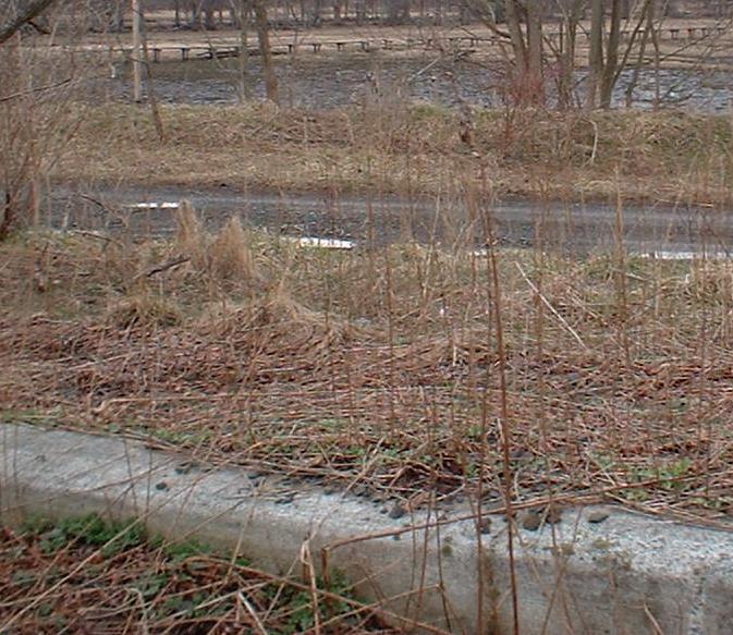
Remnants of proper road construction: a drain sitting in near-perfect curb, a grate hiding electrical work (there are still wires for NJ 24 routed through some of the boxes around this interchange), a SB signpost that would have held an advance for NJ 24 EB or a merge sign or both, and what may have been supports for a gantry that would probably have announced the impending end of Triborough Road at NJ 124.
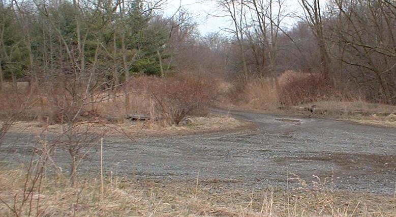
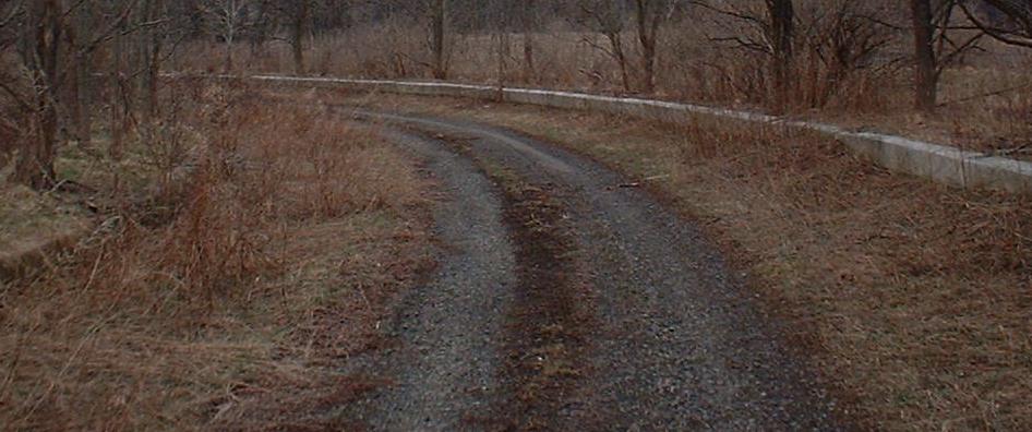
A look at the curbed, grassy median of the road, matching the northern part of Eisenhower Parkway.
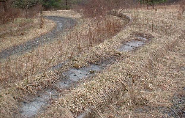
The first four pictures are the SB offramp, SB onramp, NB offramp, and NB onramp, all to/from NJ 24 EB and thus on the south side of the cloverleaf. The last picture shows intact curbing for the NB onramp merge just before the 24 overpass; the SB onramp's gore piece is also intact, but lies in the median instead of at the merge.
The NJ 24 WB onramp to Triborough Road SB; the curb around the ramp suggests superelevation of the cloverleaf loop if it were ever paved. In the third picture you can see the SB-WB ramp, and in the fourth picture is a drain installed in the NW quadrant of the interchange, under the SB/WB ramps, as part of environmental concerns.
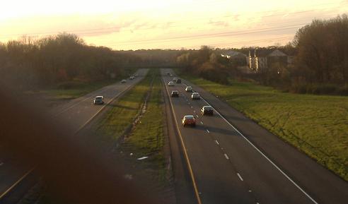
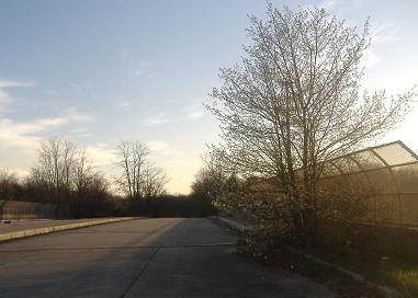
Leaving the stub with a view into the sunset along NJ 24 WB.
Back to NJ 24 main page
Back to CR 609 main page
See more of Chatham
Into Morris County
Back to New Jersey Roads
Back to Roads