New Hampshire Roads - US 3 - Groveton and N.
 , Groveton and north
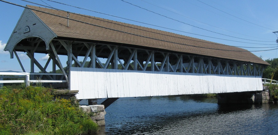
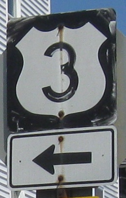
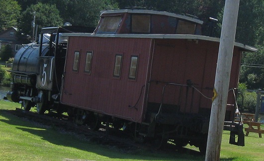
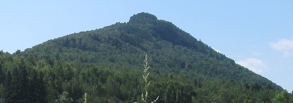
The shield on top is NB at State St. in downtown. Percy Peaks and the Groveton Covered Bridge are seen a bit to the south at NH 110.
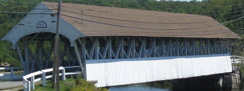
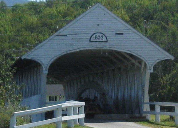
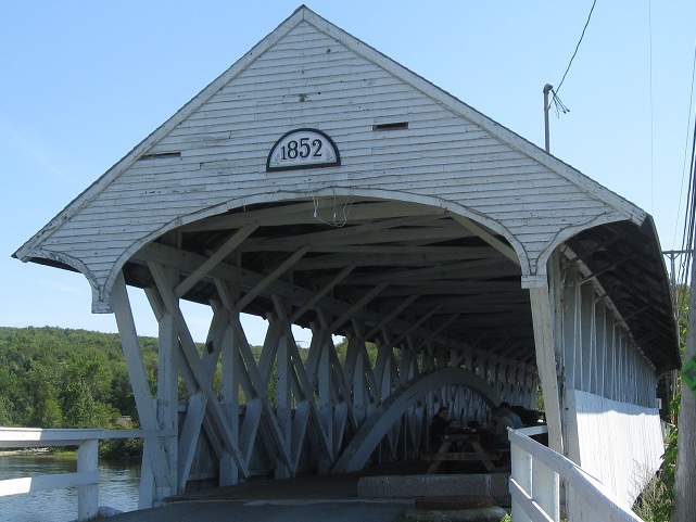
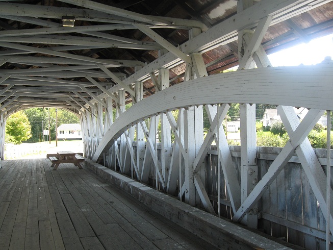
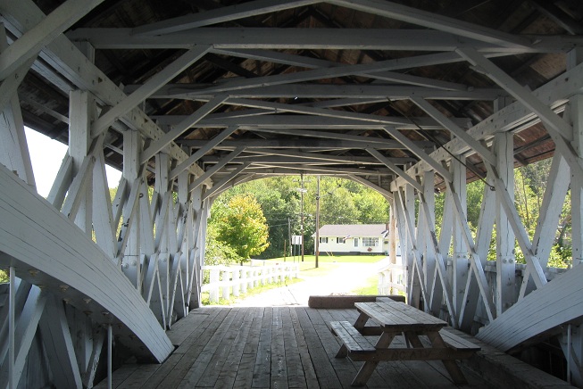
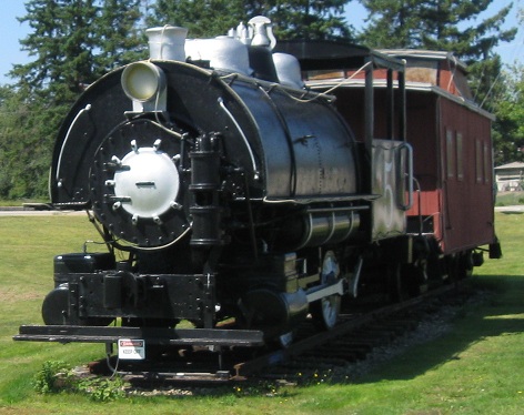
Walking south on former US 3 (until 1939), where you can now sit and enjoy a leisurely luncheon.
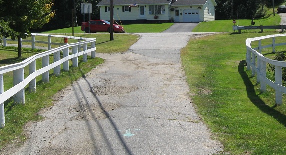
Remains of the old wye at the southern end of the bridge where US 3 and NH 110 originally split.
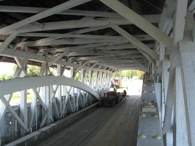
Walking back north across the bridge.

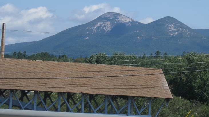
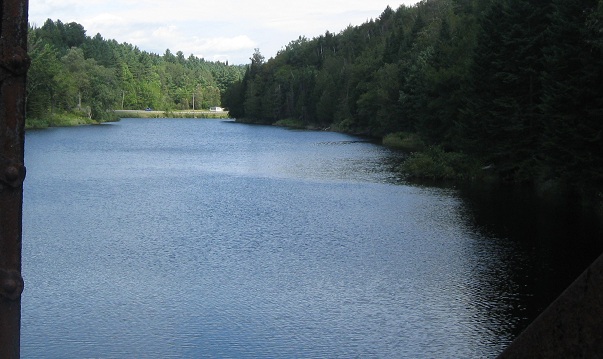
Another eastward view of Percy Peaks and the Upper Ammonoosuc River from the old road.
Looking north along US 3 at Cape Horn Ridge, then west on the Upper Ammonoosuc.
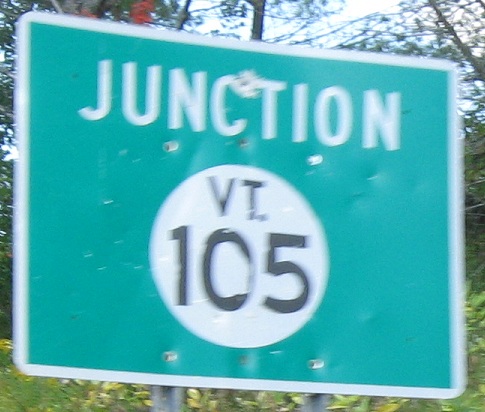
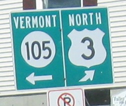
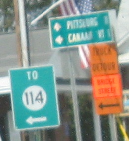
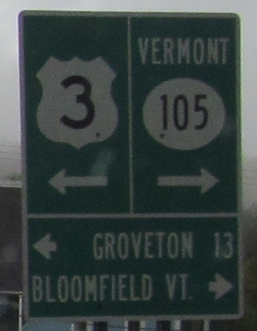
VT is known for getting creative with signing NH routes, so turnabout is fair play. At least Vermont has used and still sometimes uses the circle.
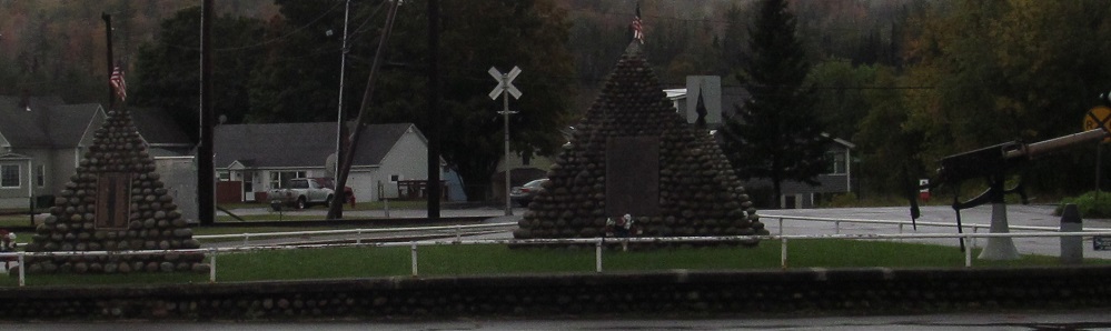
A few years later, I happened upon the SB counterpart signs and saw a bunch of pyramids just past the Town Common Rd. junction in North Stratford. The older pyramid (right) was erected in 1928 in honor of all who served in wars, and then a second pyramid was needed after World War II. There's a tiny third one hiding in the back for more wars. There's plenty of room for more pyramids, but let's hope they never need to be erected.
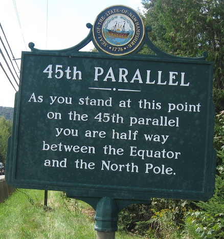
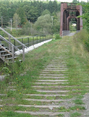
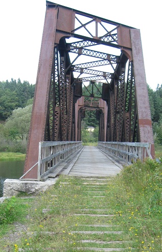
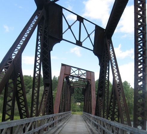
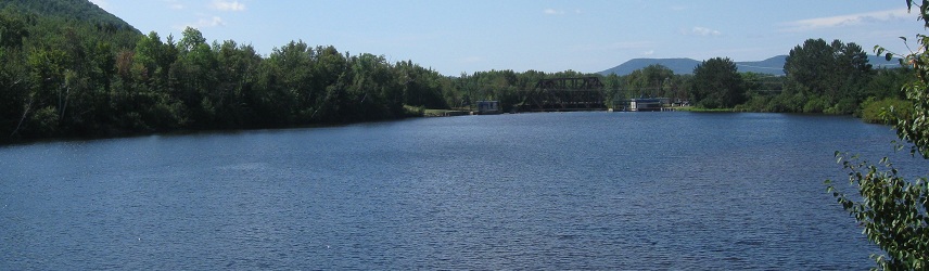
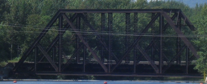
Never done with abandoned railroads, I walk out on one just this side of the Equator that slants across the CT River. No, that's not bad photography, the bridge really is constructed with a skewed structure so that the beams remain parallel to river flow.
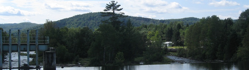
Looking north and south along the river.
Facing southeast where the railroad once had a US 3 crossing that hasn't yet been graded out.
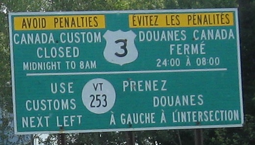
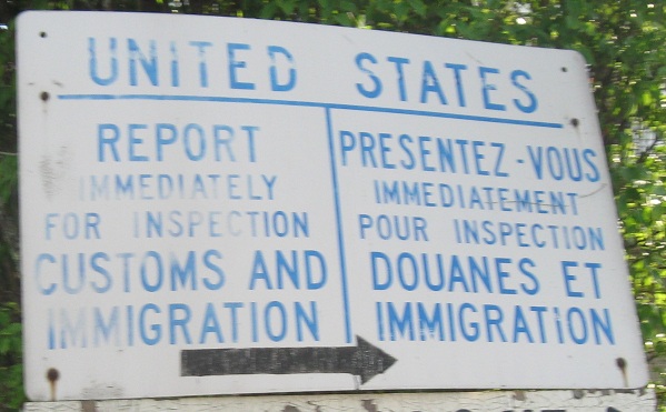
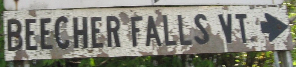
I think "penalties" understates the trauma of blowing through an unmanned customs station, but here you have it - a major US Highway crossing is closed in favor of a route so inconsequential it has to borrow a number from across the border and isn't even state-maintained.

NB and SB in Pittsburg. The sign doesn't mention that the scenic drive is also the shorter one.
Back Lake Rd. SB, ending at US 3. There's no border crossing on this road, but a popular snowmobile trail uses it in winter, which up here is nearly half the year. (Certainly November into April.) Maybe it's the lack of automobile traffic that has preserved the wooden white distance sign for so many years.
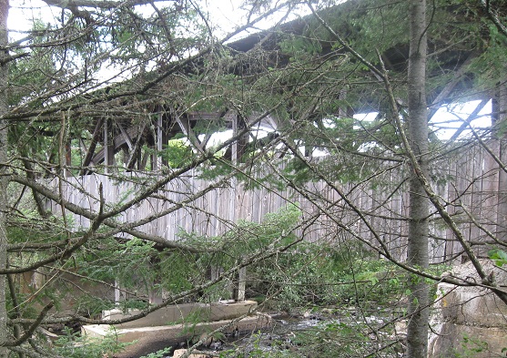
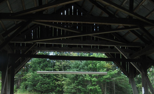
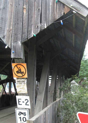
Since I already covered the Québec border on the main page, I can end this one on the Happy Corner Covered Bridge just off US 3 on Hill-Danforth Rd.
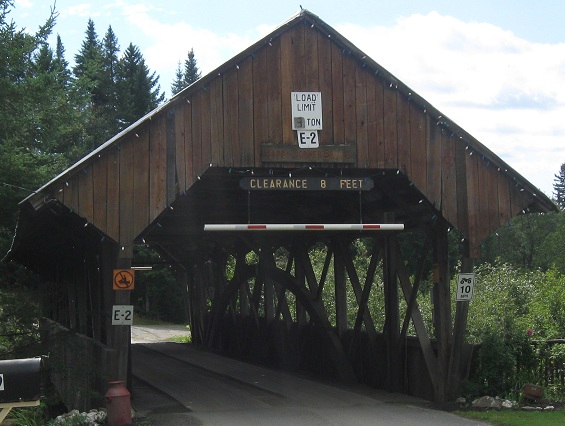
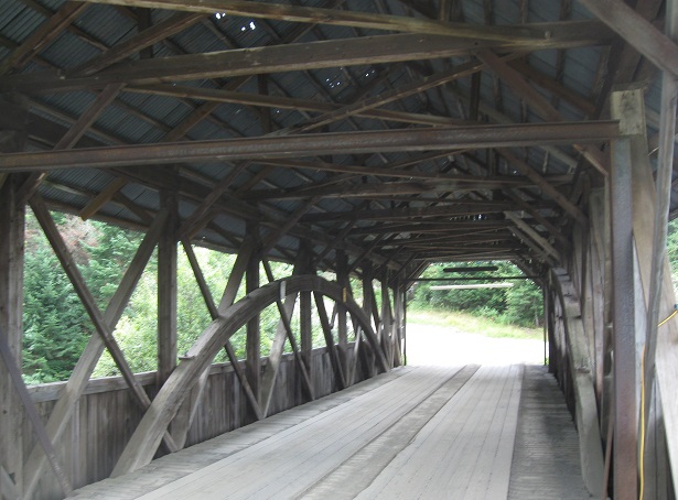
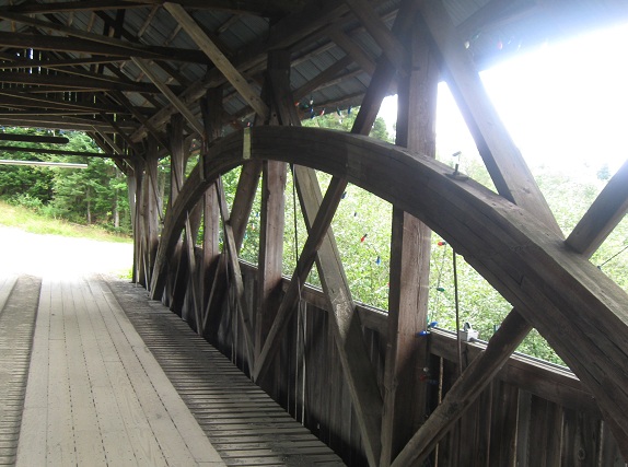
SB across the bridge.
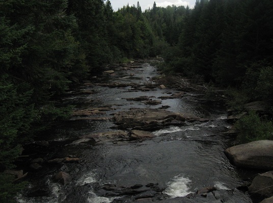
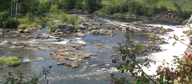
Back NB and looking southeast along Perry Creek.
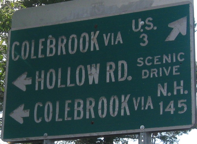
Continue south on US 3
Back to US 3 main page
Into Québec on QC 257
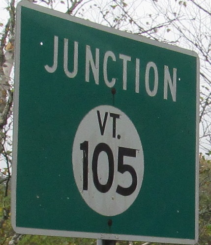
To VT 105
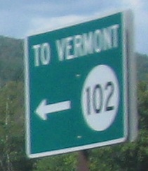
To VT 102
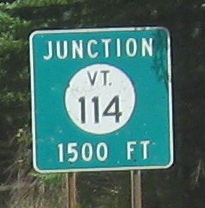
To VT 114
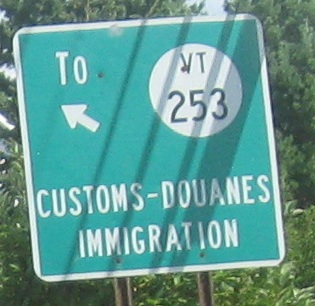
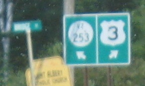
To VT 253
Connecticut Lakes
Back to New Hampshire Roads
Back to Roads