North Dakota Roads - ND 200
ND 200


Just east of Montana, if you look south along the Yellowstone River, you'll see the 1913 Fairview Bridge, a former railroad bridge that is now part of a hiking trail leading into a tunnel. Check it out via the link at bottom.
The original ND 23 (now ND 200, truncated and renumbered to establish a multi-state route from Minnesota to Washington) Yellowstone River bridge was located... actually, it was located on the Fairview Bridge. Until 1955, the highway curved around the hillock east of the river, onto the bridge (controlled by a watchman to prevent railroad conflicts), then back off the bridge on the other side. Finally getting tired of paying the watchman to avoid horrendous crashes, the state built a new bridge for just the highway to the north. This bridge lasted until 1997, a very short lifespan for a bridge but dictated by its 22' width. Lamentably, the current bridge, built to the south of the old bridge, obliterated the traces of the original Fairview Bridge approaches on each side of the river. All that's left of the old bridge is its two piers.

ND 200 WB from US 85 toward the Fairview Bridge.


As I noted above, ND 200 was a latecoming multi-state route. It absorbed parts of other routes and then has a large number of concurrencies to take it across the state. Here are a few of my favorite things. You can see the lack of consistency in shield design, including how wide to make ND 200. With such a complex shape and one sensitively close to Native American heritage, it was perhaps inevitable that ND would come up with a plainer design more reminiscent of South Carolina (state shape below state name). The second photo with its odd shield and mixed-case Jct is on US 83 NB, ND 1804 NB (hidden), and ND 200 WB.

A little west of the ND 41 concurrency, you will find this railroad trestle along ND 200... Alternate. ND 200 Alt. is actually the shorter route, via a more important city (Washburn), compared to the mainline that heads up to Lake Sakakawea on the Missouri River. This bridge happens to be east of Fort Clark.

Coming upon the old alignment of ND 200, Rollin Ave., WB into Cooperstown.


Before I head west into town, let's head east on the dead-end stub.
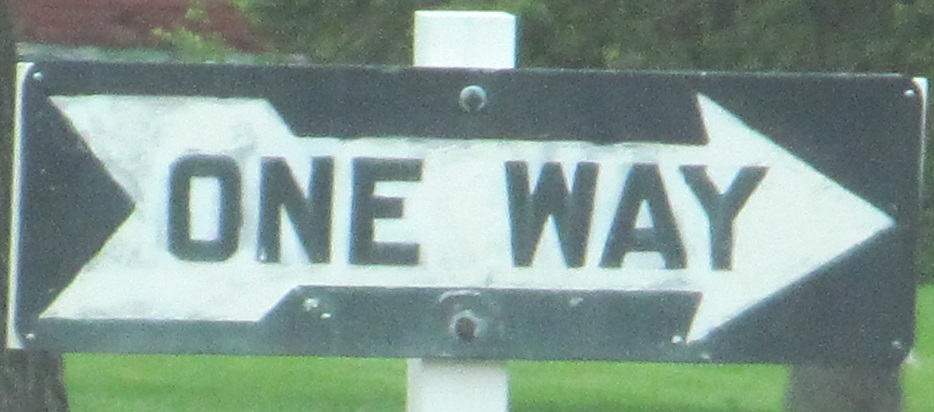
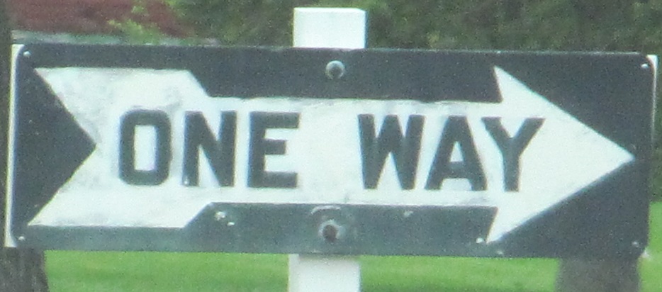
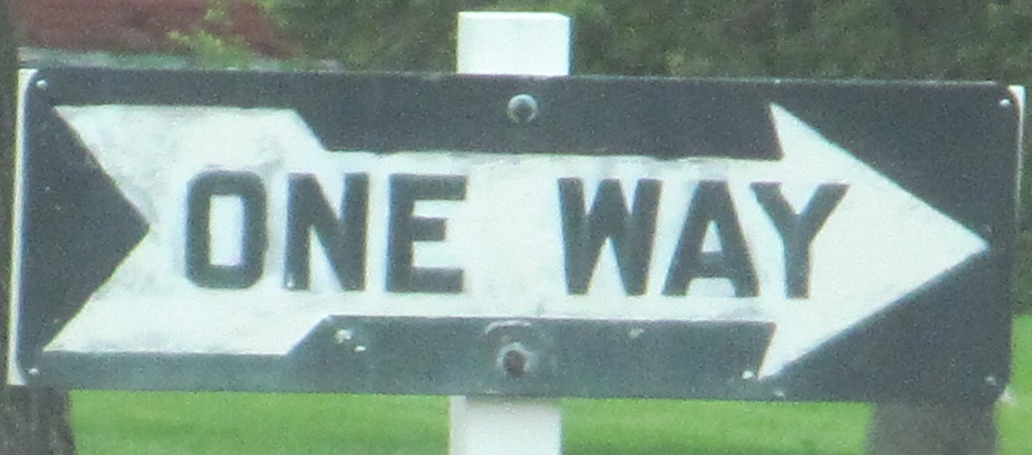
Back down the stub and onto Rollin Ave., seams of concrete evident below the asphalt.


Interesting old WB signs through Cooperstown. The first is just entering town, the second is at ND 45 (9th St.) in the center of town.
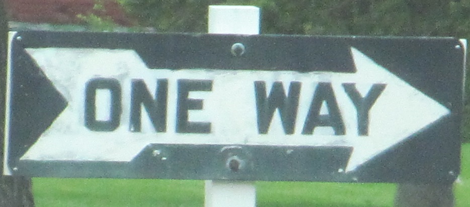

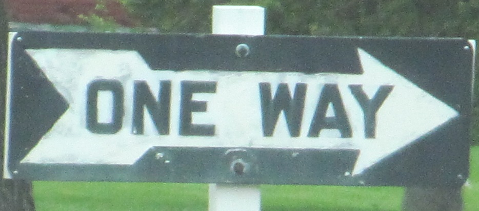
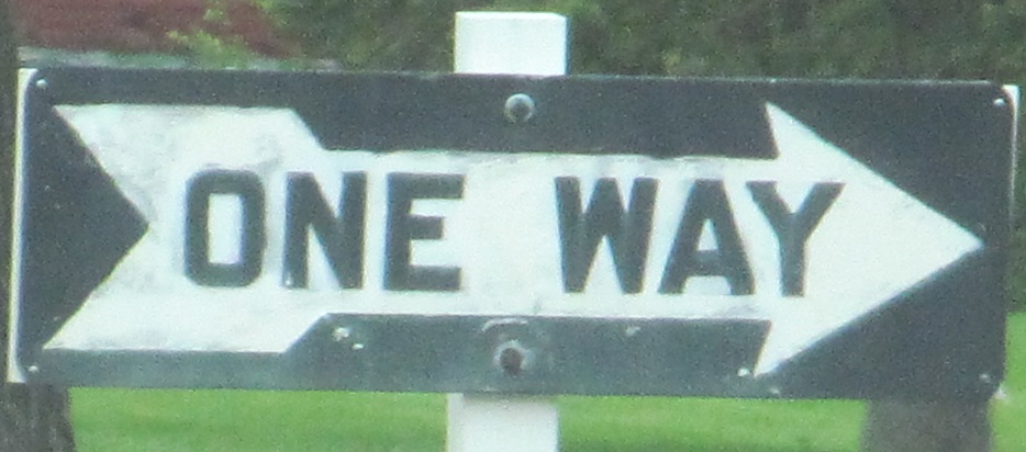
Coming out the west side of town, doing what I did before and driving down the stub until I can't quite make it back onto ND 200.
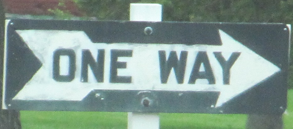


Turned around EB on the stub.
Over to Fairview Bridge (and Cartwright Tunnel)
Onto US 85
Onto ND 41
Onto ND 1
ND 200 Non-Roads
Back to North Dakota Roads
Back to Roads


