North Carolina Roads - NC 540 construction
NC 540 construction photos
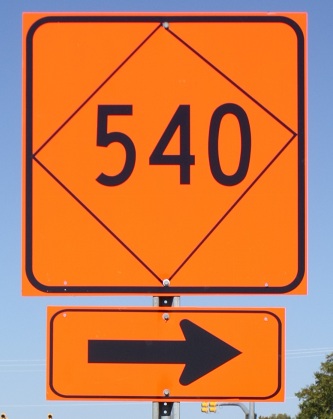
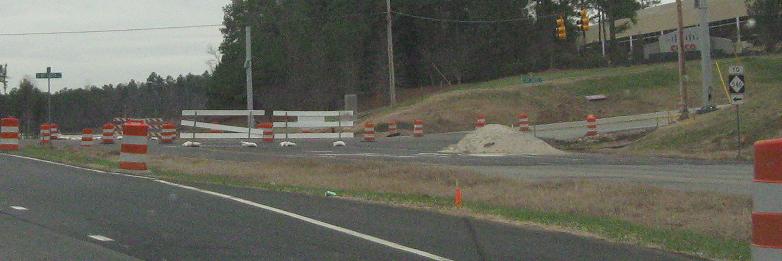
Courtesy Adam Prince, one of the most comical misrepresentations of a diamond - and the entire sign background should be black, not just a small ring around it. This almost reads like a real 540 sign will be located just around the corner. What's the purpose of Research Triangle Park if they can't even put two triangles together? Maybe they have to do more research.
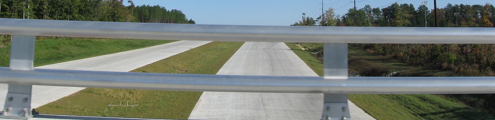
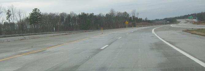
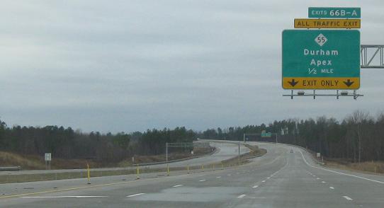
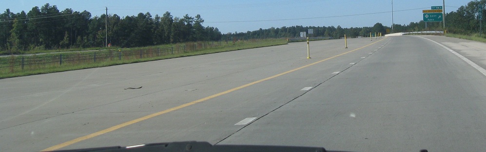
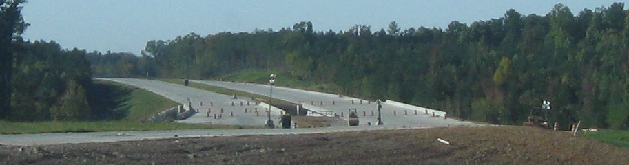
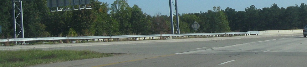
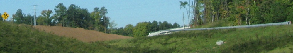
Looking north (first two photos) and south from McCrimmon Pkwy., next overpass south of NC 55, in 2011 before finishing touches were added to extend the road down to US 64. (The next segment, around to NC 55 south of Apex, opened not long after that, and for now the remaining beltway is unbuilt.)
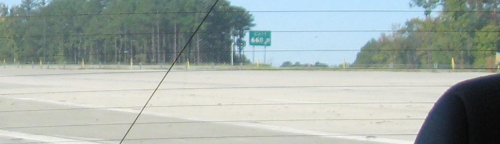
Speaking of US 64, these photos enter NC 540 from its new Exit 59 end in October 2012. Yes, Virginia, this is a toll road. Fortunately, NC is so lazy that they never bothered entering into reciprocity agreements with most states, because with the few they have (CA, FL, OH, TX, VA) they can already bill 95% of users. So if you're part of the 5%, come explore!
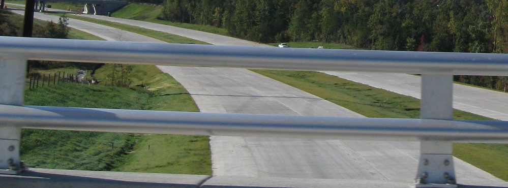
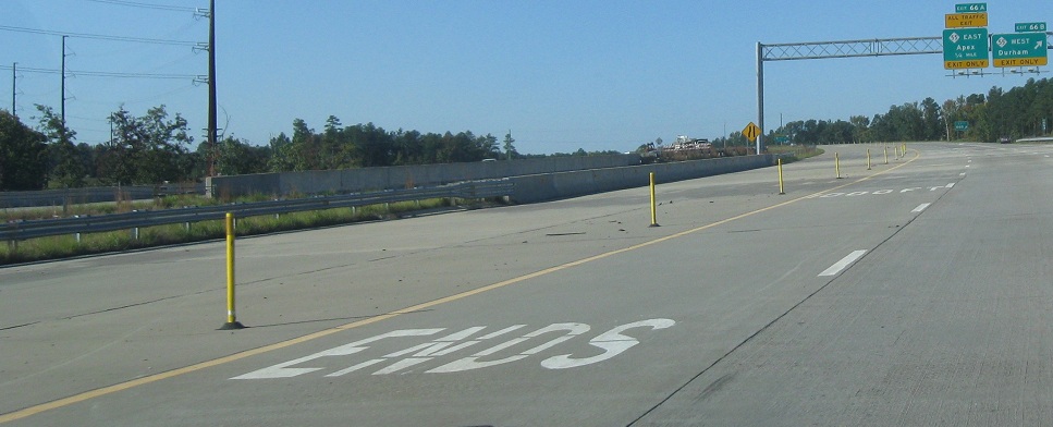
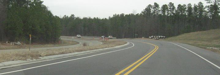
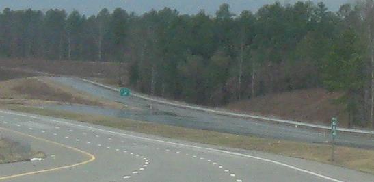
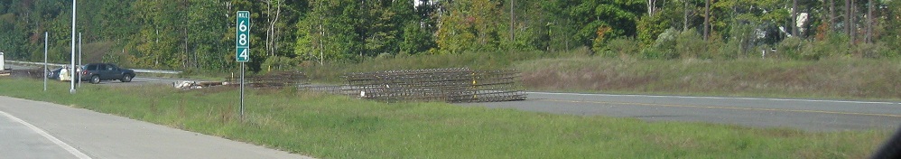
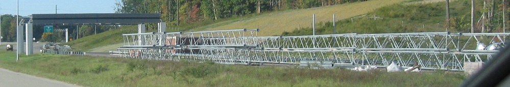
The westbound end of NC 540, in 2009 before anything was built of the future southward extension. NC 540 is just a placeholder until the Outer Loop extends to a major route so that I-540 can extend with it. Ultimately, the entire loop around Raleigh will be I-540, at which point it really should get the even number designation of 640. Also, this part of the loop will then be N-S instead of E-W. The configuration between Exits 67 and 66 will have three through lanes, with two lanes added at 67 and dropped at 66. Those three lanes look quite wide when there are no stripes on them. Unlike most stubs around the country, NCDOT likes to trim them to immediately after the last interchange ramp (or first in the other direction).
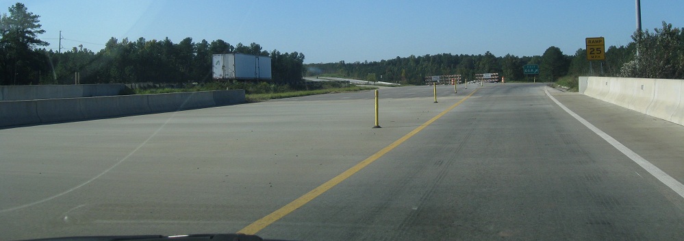
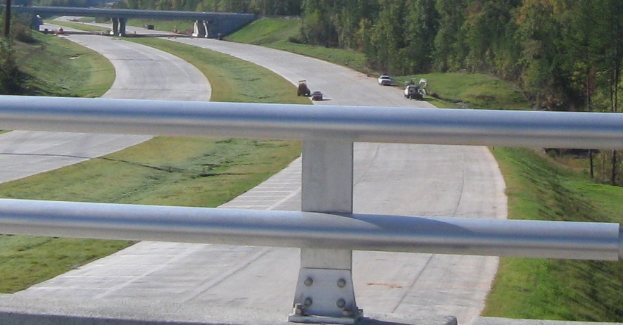
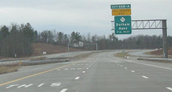
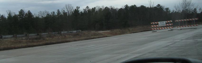
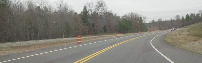
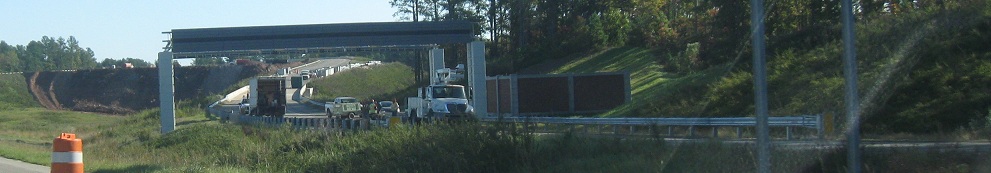
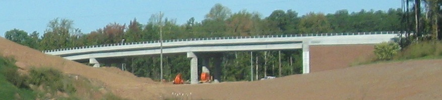
The same place, but now nominally southbound, in October 2011, not too long before the next segment opened. The interchange looks like it was built for a full cloverleaf, but without the loops from NC 55 (WB-SB, EB-NB) for now.
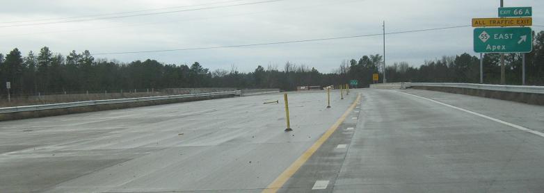
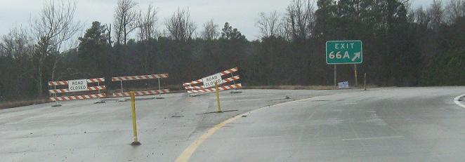
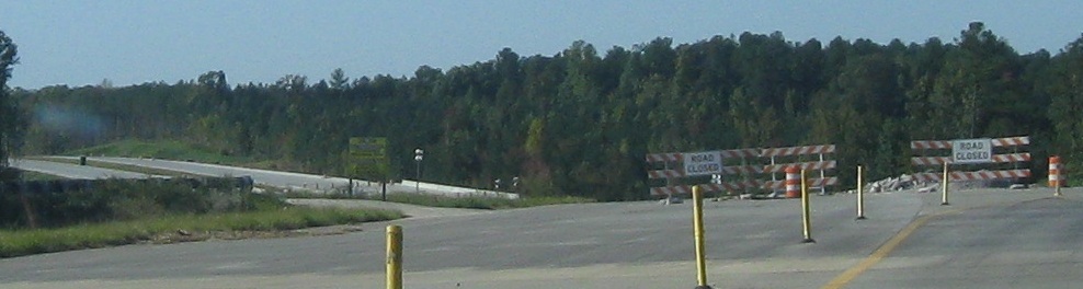
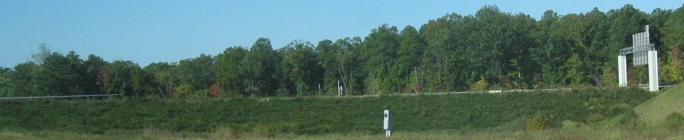
From Exit 66A, the future Exit 66 onramp from NC 55 to NC 540 SB, as stubby as the highway at this point.
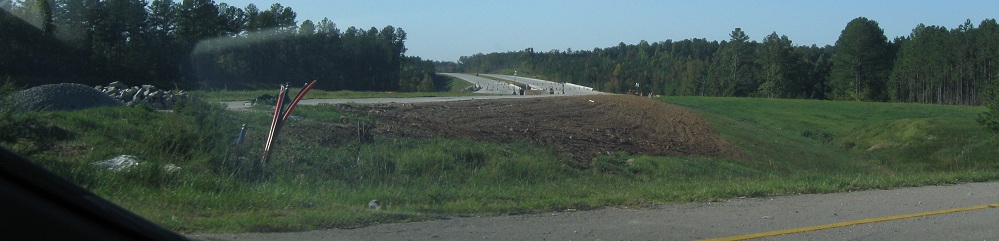
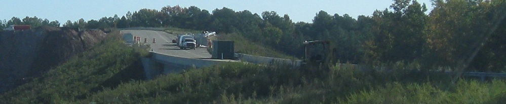
Coming back on NB in 2011, after all of NC 540 was converted to north-south in anticipation of the extension. All of this activity is on the NB side.
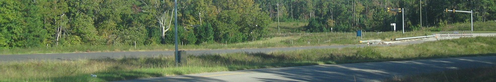
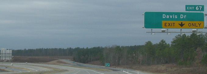
Davis Dr. NB approaching NC 540 Exit 67 in 2009, affording a glimpse of the Raleigh area's road construction policy. As the city's development extends farther out, more two-lane arterials are built. Right-of-way is preserved so that as traffic volumes warrant, the road can be widened to the standard four divided lanes or five (with two-way center left-turn lane) undivided lanes. In some cases, each developer is responsible for widening the adjacent road, so you end up with patchwork roads that constantly flare out and back. In this case, NCDOT is widening SR 1613 on its own.
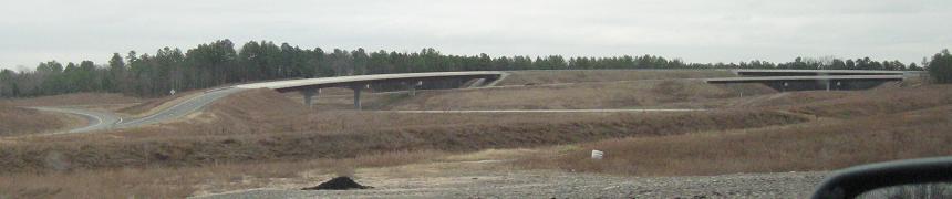
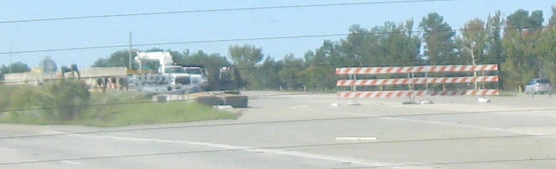
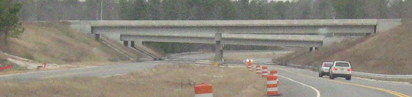
Davis Dr. SB at Kit Creek Rd., the connection to Exit 67, then turning onto Kit Creek Rd., all in 2009. The original Davis Dr. will be the SB lanes once they are reconstructed. A lot in this area has a temporary feel because in a few years there will be a new tollway connecting south through Research Triangle Park and this interchange, from NC 147 to McCrimmon Pkwy. (probably at Town Hall Dr.). The interchange for now is heavily overpowered with some stub ramps, ghost bridges, and plenty of room for the tollway.
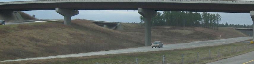
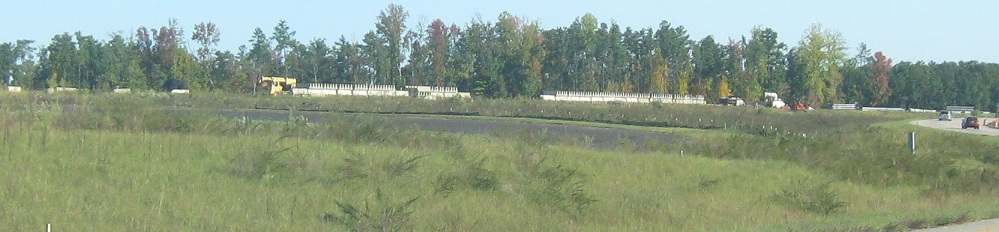
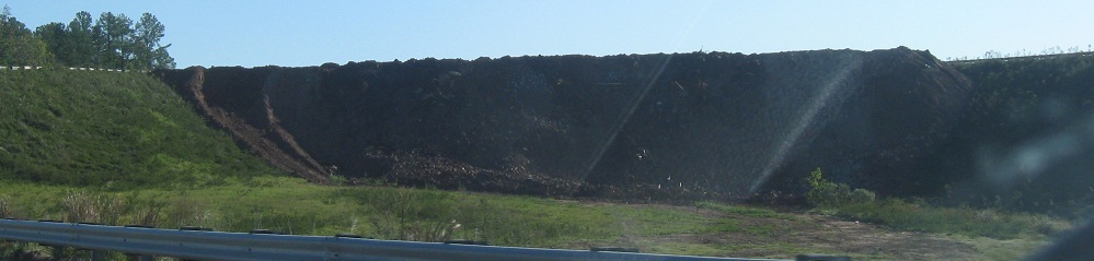
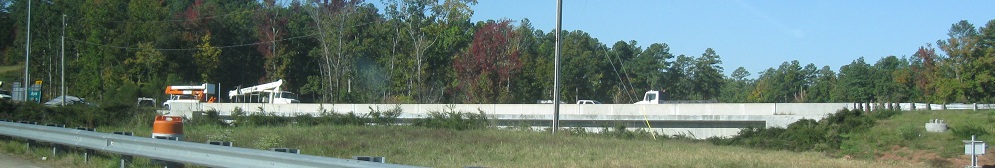
NC 540 WB through the Exit 67 interchange, with some of everything in 2009: stub ramp (WB to the tollway), ghost bridge (NC 540 EB onramp from Kit Creek Rd. over the future tollway), and plenty of clearing (looking south toward McCrimmon Pkwy.).
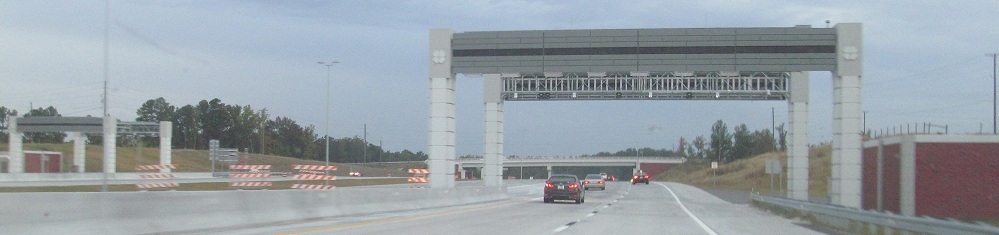
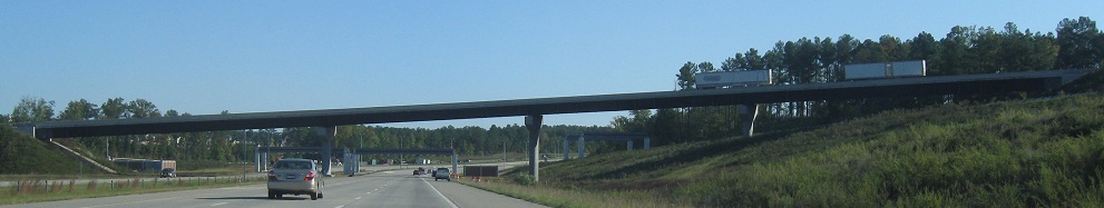
NB, formerly EB, through Exit 67/NC 147/Triangle Expressway toll road construction in 2011, with one of the new ramp tolls already installed for All-Electronic Tolling (AET: no booths, just bills in the mail). Davis Drive lost its connection to NC 540 as a result of the new interchange.
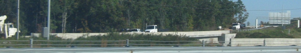
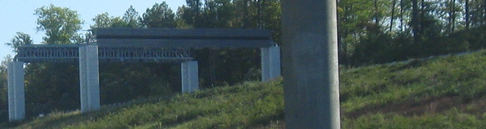
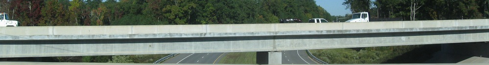
Looking north between the NC 147 SB ramp to 540 SB and the NC 540 NB ramp to 147 NB.
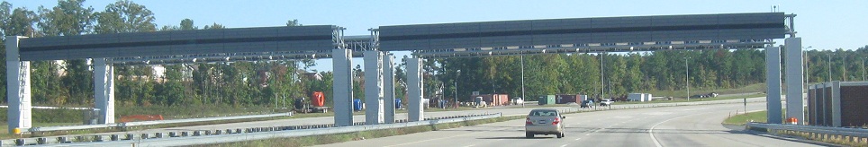
Continuing NB, ending with the onramp and mainline tolls. The easiest way to do AET is a single gantry (or one per direction) between each interchange. With all the ramp tolls, the newly created NC Turnpike Authoity must have found a way they thought was better.
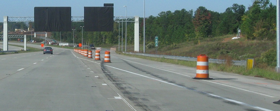
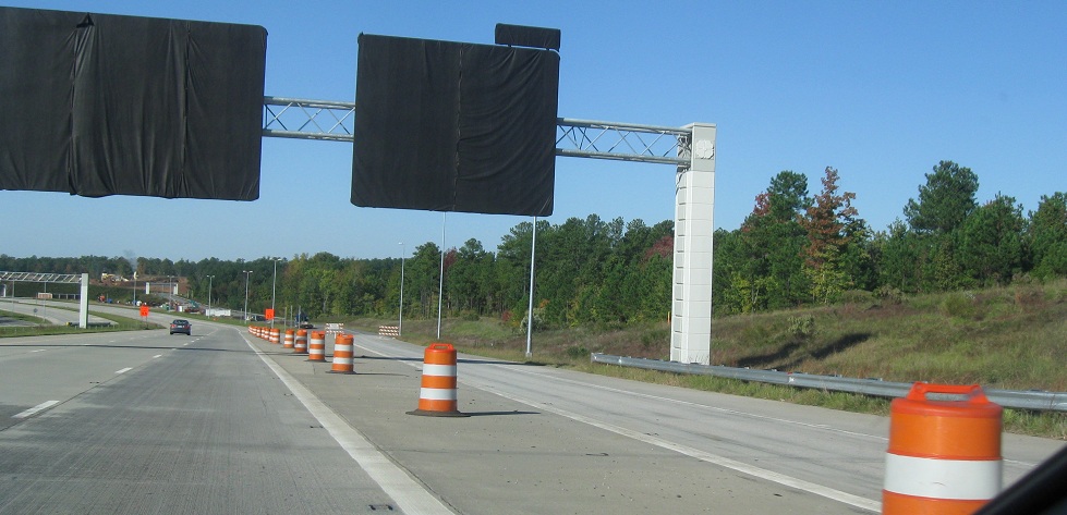
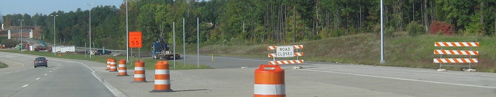
Future NC 147 signs and ramps from the NC 540 SB perspective. The auxiliary lane that will exit at the interchange comes from the Exit 69 (NC 54) merge, so it's not just a bad way to close an exit ramp. On the other hand, orange is a bad way to sign a speed limit. The last photo shows the path of a future SB C-D road if Triangle Parkway is ever extended east from NC 147.
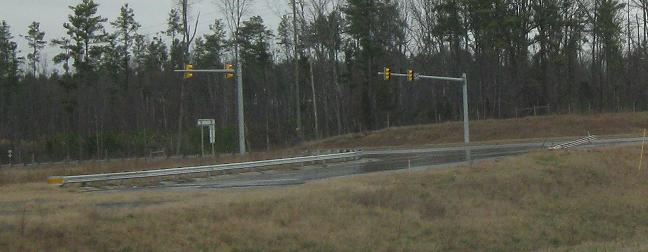
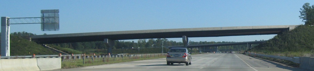
Looking north along NC 147, with the new Kit Creek Rd. bridge in the background. The last photo is NC 147 SB meeting its end, from right to left.
The SB merge and toll from NC 147, which crosses Davis Dr. on its own bridge.
Continue east onto I-540
Back to NC 540 main page
Exit 66 to NC 55
Exit 67 to NC 147
Back to North Carolina Roads
Back to Roads