Michigan Roads - US 31 - Ludington & N.
US 31, Ludington and north
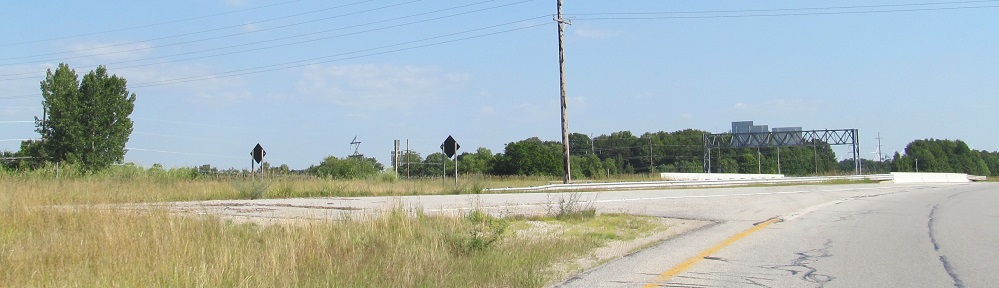
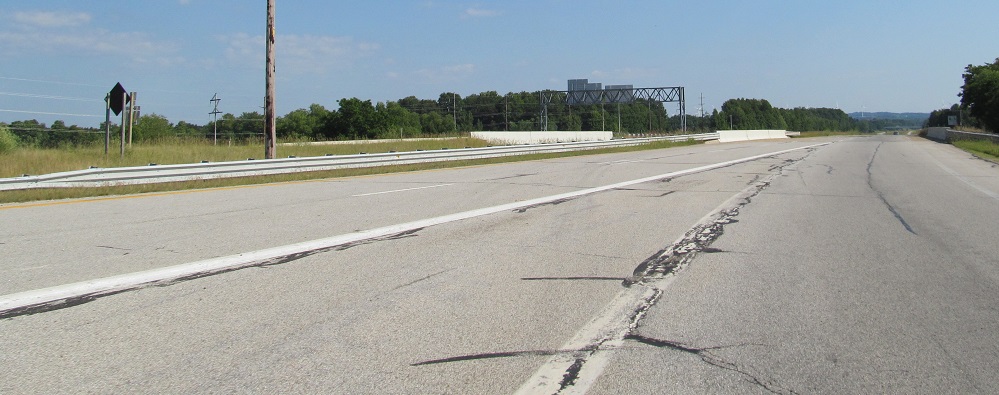
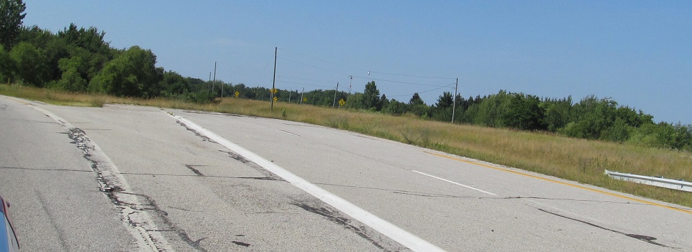
US 31 manages to have two freeway stubs in the same direction in the same state. Most routes are lucky to have one. These photos merge onto US 31 SB from US 10, then look back north at the freeway to nowhere. Unlike the southern stub, there really aren't any plans for where this could go. It's theoretically to be extended as far as Traverse City. There's the one SB onramp and two NB exits, one for US 31 NB/US 10 EB and a loop to head west. No idea what the ultimate interchange configuration is supposed to be or if anyone even knows.
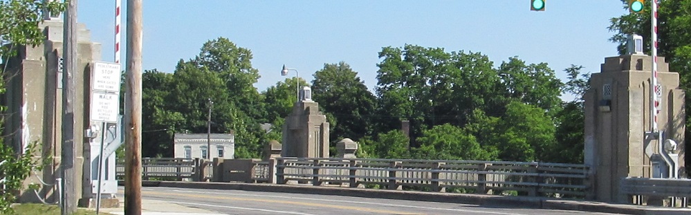
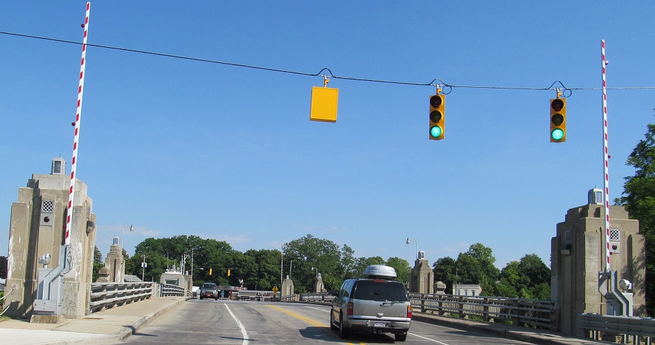
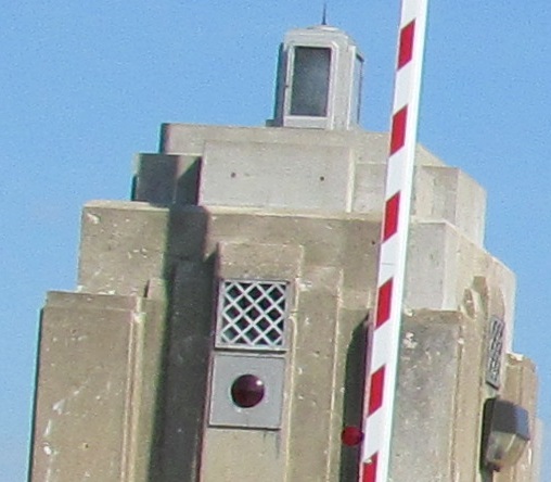
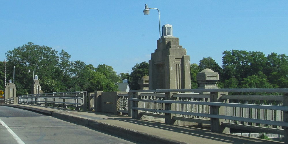
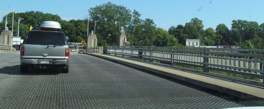
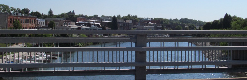
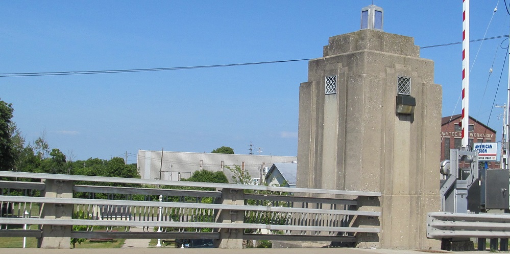
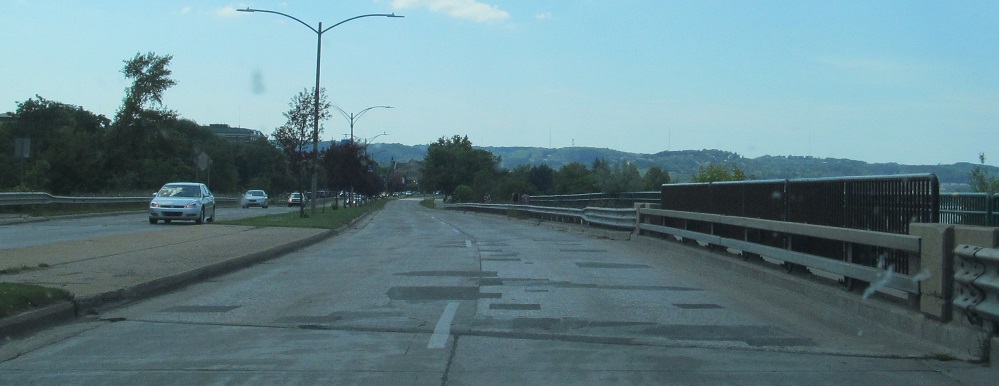
South across the Manistee River, which drains Manistee Lake, in Manistee. This is too far north for manatees. They live closer to Tennessee. Do you see? I see an original warning light for the drawbridge.
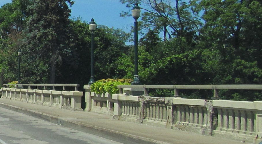
Have some more southbound bridges. The first is across Elk River, which drains Elk Lake, in Elk Rapids. The second is over the Boardman River, but there is no Boardman Lake or town of Boardman. That dilapidated bridge has been reconstructed since.
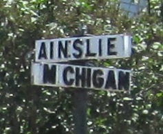
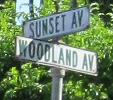
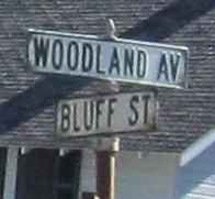
Charlevoix has cool street signs.
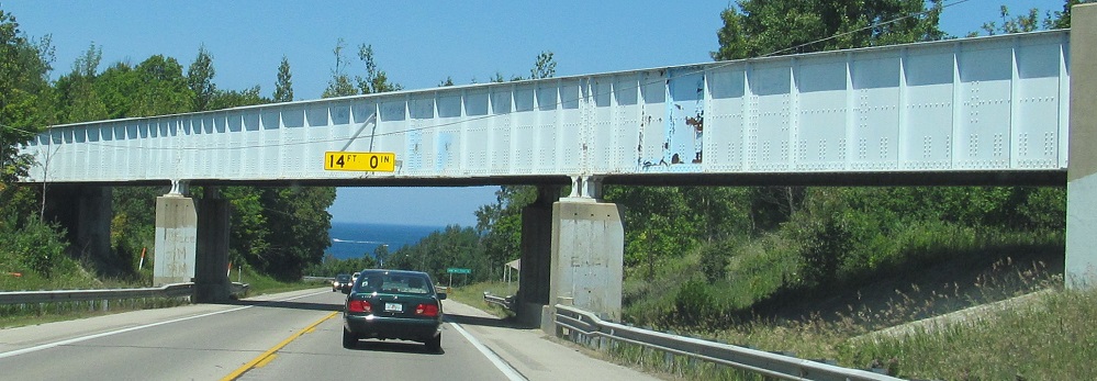
North of there, US 31 used to run parallel to this railroad until somewhere in the 1930s, only crossing in Charlevoix. The stub on the SB side is original US 31 leading toward the tracks. The railroad has been long since abandoned, so I don't see why the low-clearance bridge has to remain.
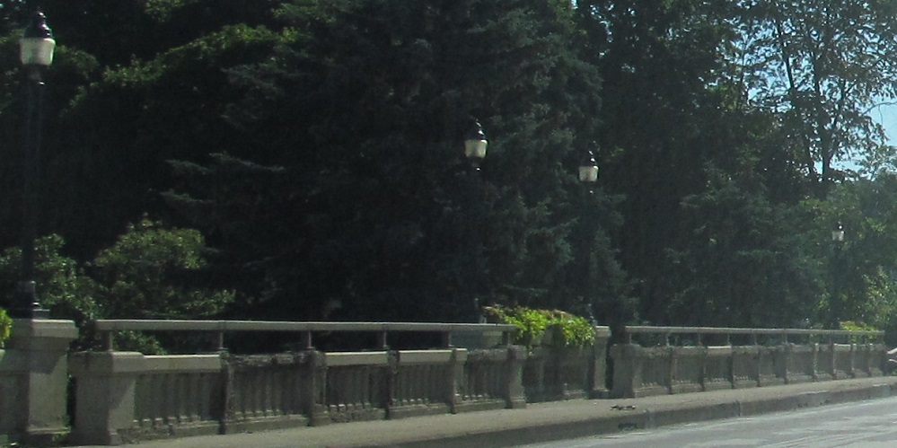
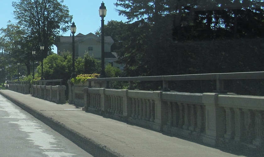
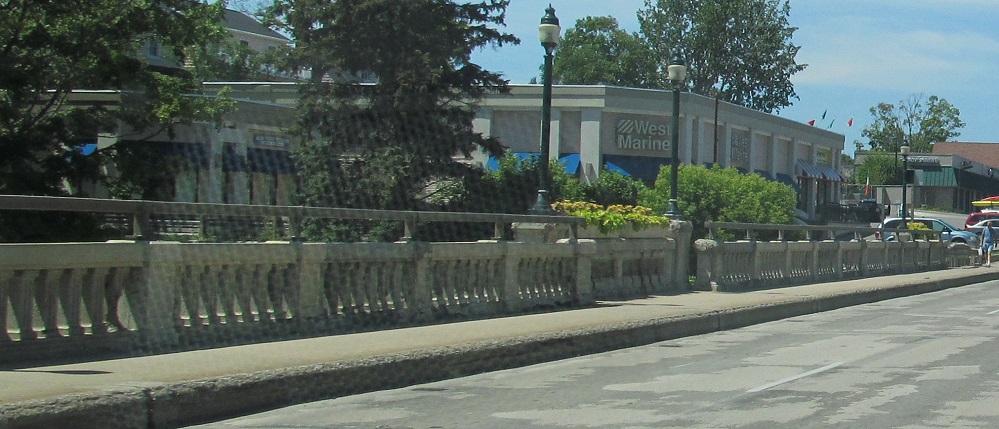
NB (left/right) and SB (left/right) across Bear River in Petoskey.
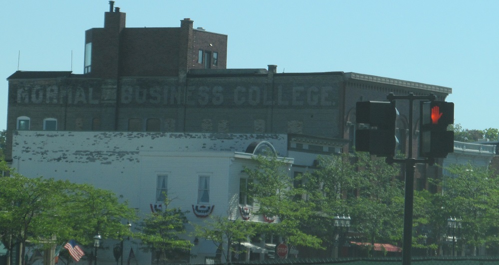
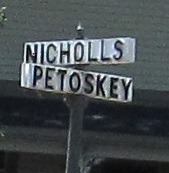
Petoskey is just a normal town with a normal business college.
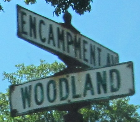
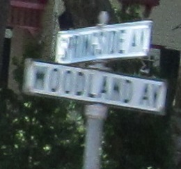
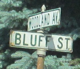
Bear Creek Twp. also has cool street signs. The first 5 photos are NB and the last 3 are SB, which is why I have some of the same intersections.
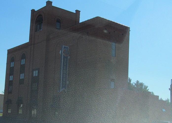
Petoskey Brewing occupies this 1898 building that is decidedly north of Petoskey.
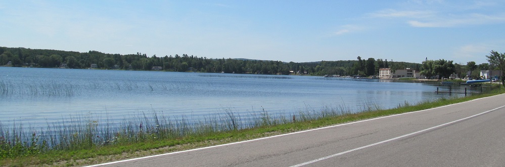
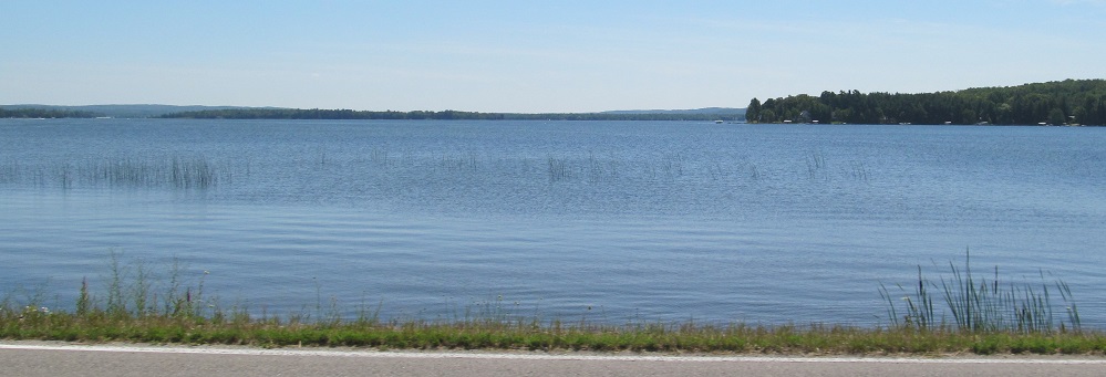
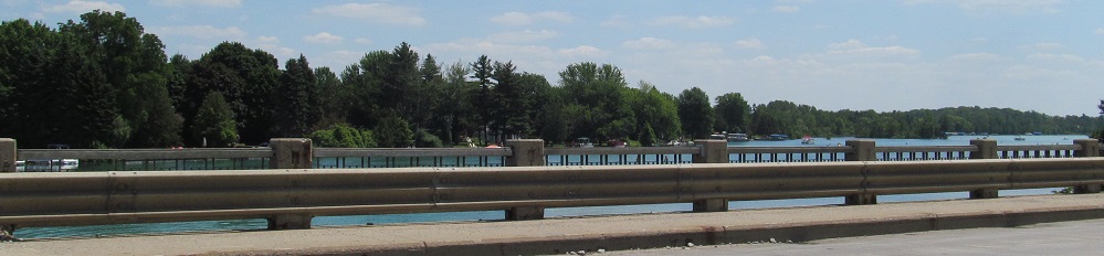
SB photos down to Crooked Lake.
Continue south on US 31
Back to US 31 main page
Back to Michigan Roads
Back to Roads