Maine Roads - US 2 E. of Lincoln/US 1
 east of Lincoln, and US 1/2
EB old signs, wooden and steel.
WB wood, SB steel. See the alliteration?
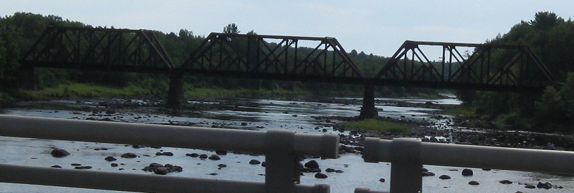
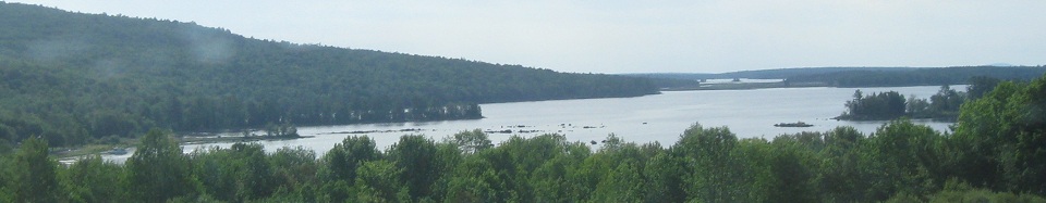
Looking east along the Mattawamkeag River.
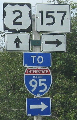
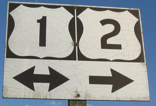
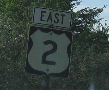
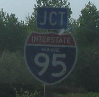
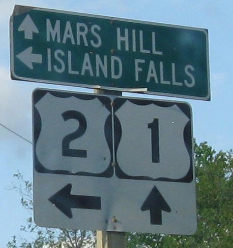
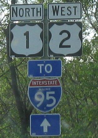
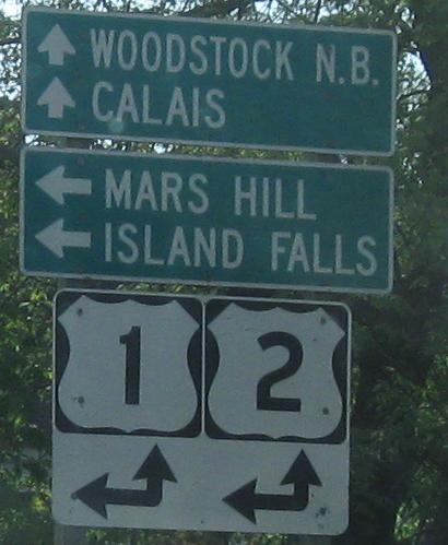
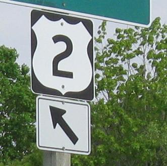
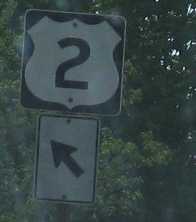
Another long collection of older WB signs, framing the old shields atop this page and the main page.
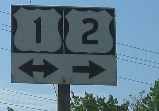
EB at Island Falls, but I can't quite seem to get there.
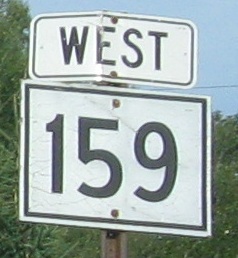
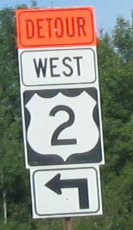
Thanks to the bridge replacement, I got some free ME 159 mileage with a nice wooden shield and an ugly detour shield.
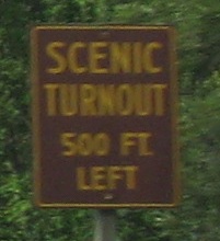
WB to the Upper Mattawamkeag Lake turnout.
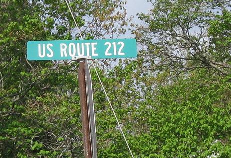
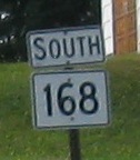
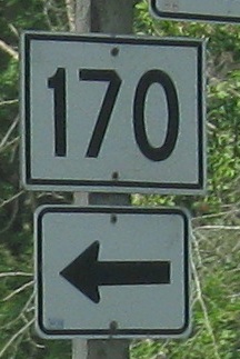
US 212 is a few thousand miles away. This is ME 212.
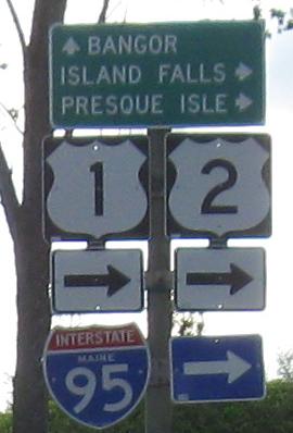
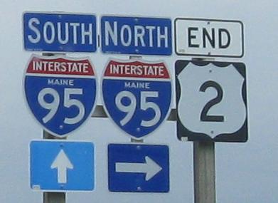
I-95 follows the US 2 corridor through northern Maine instead of US 1 like the rest of the country because by the time it gets to Bangor, I-95 has no other route to follow. (US 2A would be the other option, which isn't any better.) These are EB.
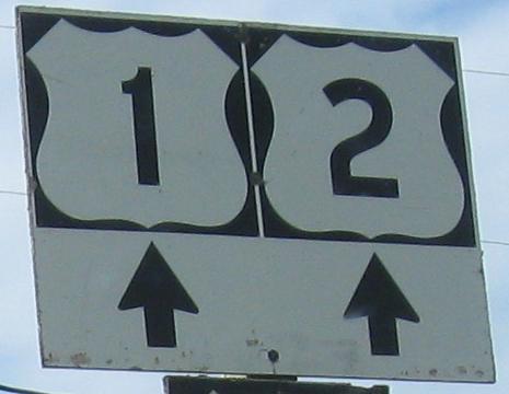
Continuing EB past the shield atop this page to more Maine font goodness.
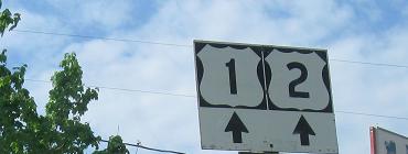
Enjoy more old font where US 2 joins US 1 through Houlton. Click the second photo for a closeup of the one-piece wooden assembly.
Every bit as old in the other direction. Northern Maine is good like this.
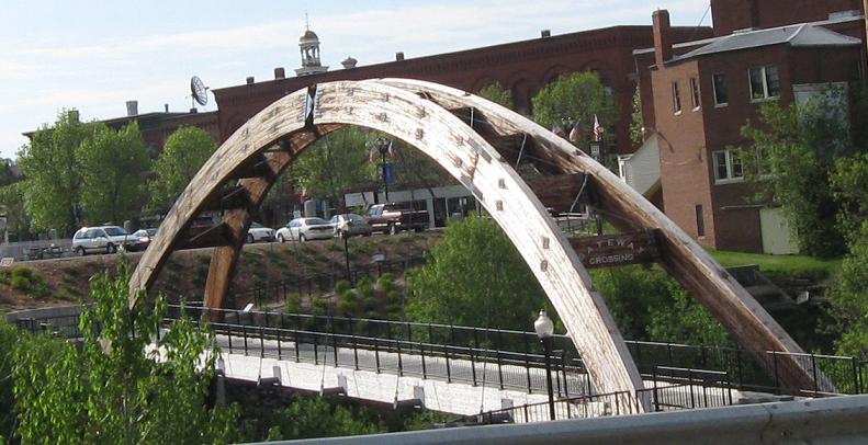
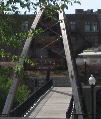
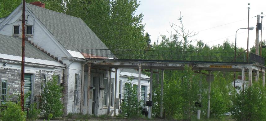
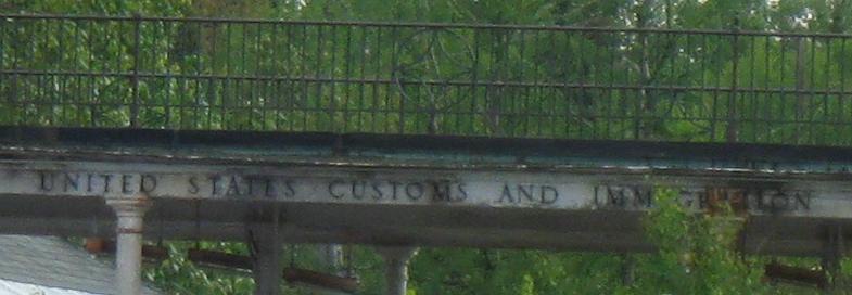
It's just connecting a sidewalk to a parking lot, but apparently this is the gateway to Houlton. Houlton is sure the gateway to the US from eastern Canada given that it's the beginning of I-95, so maybe the crossing is more symbolic of the bigger picture.
WB/NB in the same general area.
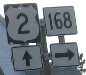
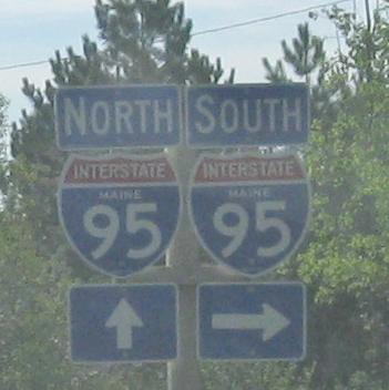
Plenty of treasures on all levels of this EB/SB assembly. Click on each sign for a closeup.
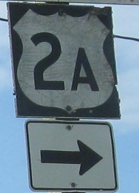
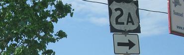
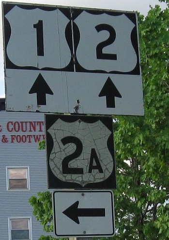
US 2A EB at its end at that intersection.
WB/NB past Military St., which is signed as US 2A from this direction and serves as a one-block cutoff, to the actual end of US 2A that you've already seen so thoroughly.
Now ditching US 1, these are east of town on US 2 WB (at Main St.) and EB. I think Main St. is old US 2.
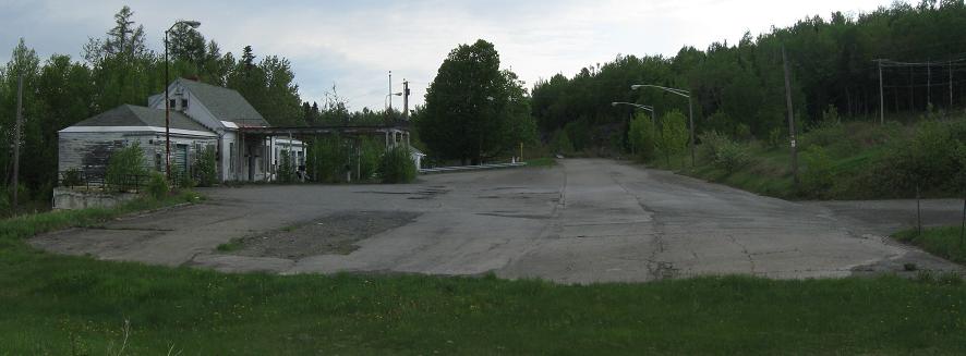
In the old days, US 2 went straight on Old Woodstock Rd. in the first photograph to its own border crossing. That border crossing has been closed so that all traffic uses I-95 (which doesn't have a whole lot of traffic anyway), and Houlton International Airport sits on part of the old right of way. Of course, now US 2 ends at I-95, as close to Canada as you can get.
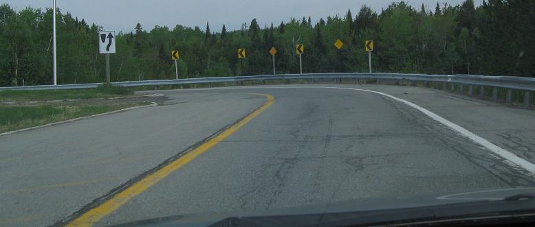
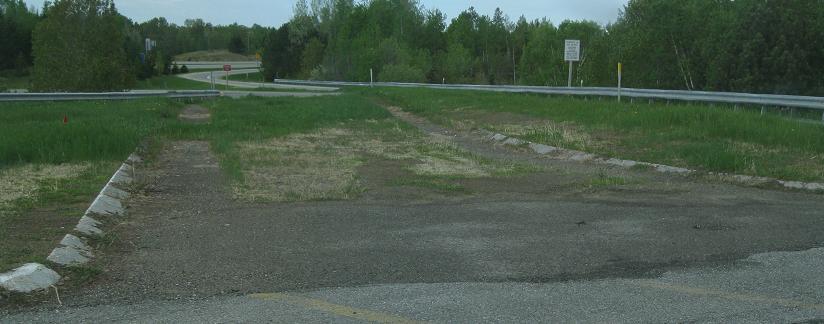
If you're like me and just came out to see the end of US 2, you have to go back southwest again. Apparently the road that lets you do so (Airport Drive) was supposed to be extended north. Guess there's no demand for subdivisions in the greater Houlton metropolitan area.
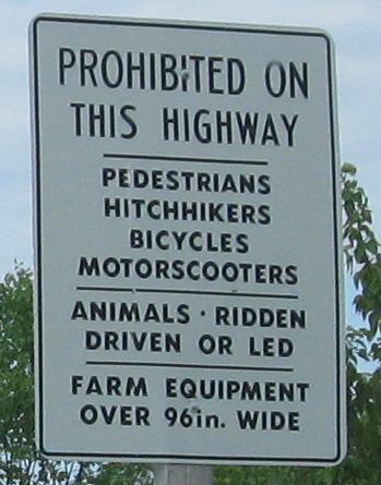
On the I-95 SB onramp. If I'm reading the rules correctly, sounds like I can ride farm equipment under 8' wide on the Interstate! That may very well be the case but it sure shouldn't be - that's what regular roads are for. I'd also like to know if animals can be on the Interstate so long as they are in no way supervised. Can I turn loose a 50-mile stampede?
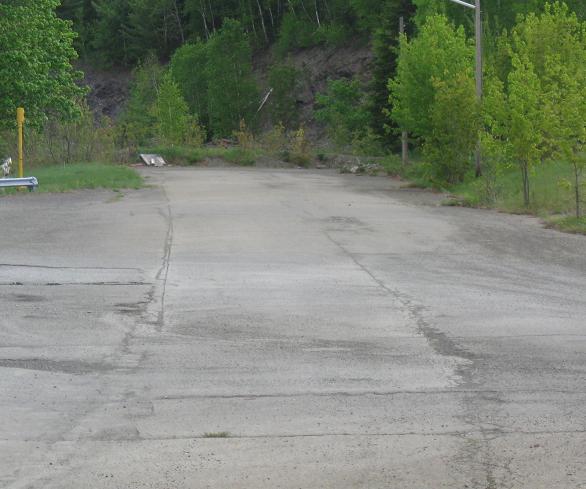
Your bonus for being patient: the old end of US 2 at the Canadian border. There may have been a trail to get up there, but I dare not risk the wrath of U.S. Customs when I have to get up to Fort Kent for sunset and back home the next day.
Besides, I can see well enough from down here. This would make an awesome forest hideaway with a little fixing up.
Continue west on US 2
Onto US 1 alone
Back to US 2 main page
The old border crossing to former NB 95
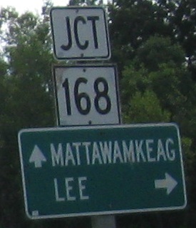
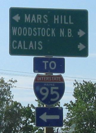
To ME 9
Onto ME 212
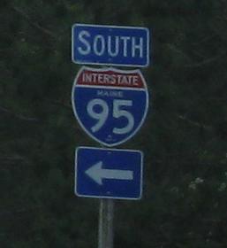
Onto I-95
Back to Maine Roads
Back to Roads