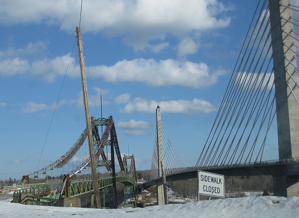
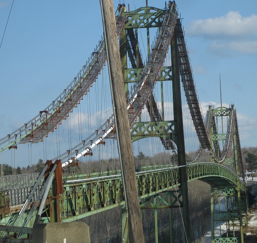
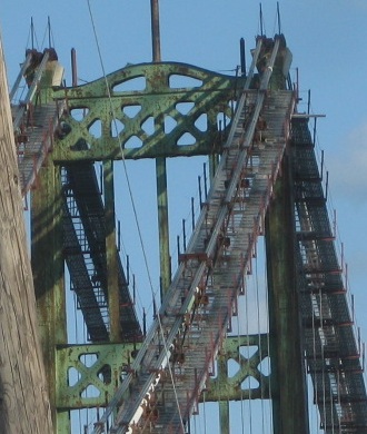
The old Waldo-Hancock Bridge, looking north, courtesy Lou Corsaro. You can see that it has been replaced, and it has been closed to traffic but not yet demolished. Hopefully I can remove the word "yet" from that sentence someday.
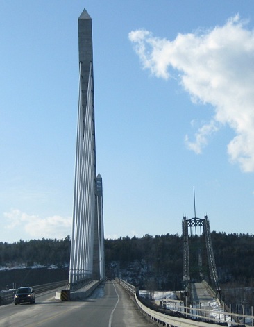
SB across the better-named Penobscot Narrows Bridge, courtesy Lou Corsaro. This location (Bucksport) is many miles from either Waldo or Hancock, which is not usually how people name bridges. Click for his video, too.
Sadly, I was wrong. This is all that remains of the old bridge, the west abutment, as of 2013.
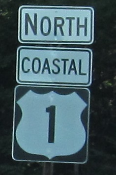
Briefly north from the west end of ME 182 on tourist-branded "Coastal" US 1, not like there's a non-coastal variety, then quickly onto Old Route 1.
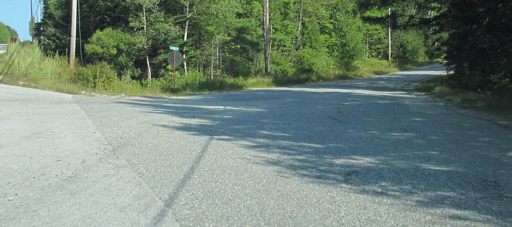
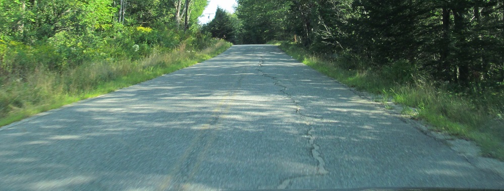
Here's an even older US 1 alignment, Bridgham Hill Rd. just east of ME 183. The last photo is Ashville Rd. EB where this segment of old US 1 rejoined the current mainline.
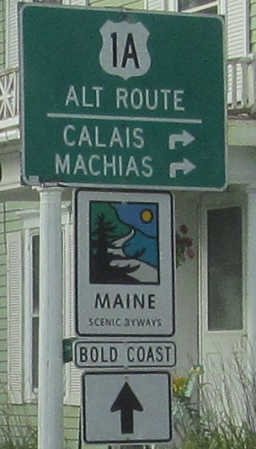
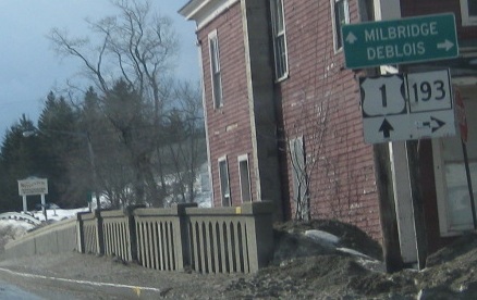
NB in Milbridge. Why wouldn't the "Bold Coast" route follow the route that's closer to the coast? Why wouldn't the "Coastal" banner be applied to US 1A?
SB across the Narraguagus River in Cherryfield, first photo courtesy Lou Corsaro (and shields gone now).
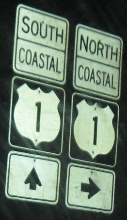
Awful shields on ME 92 WB, and without even separate Coastal banners. Not that Coastal is an appropriate banner.
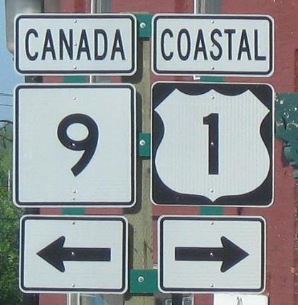
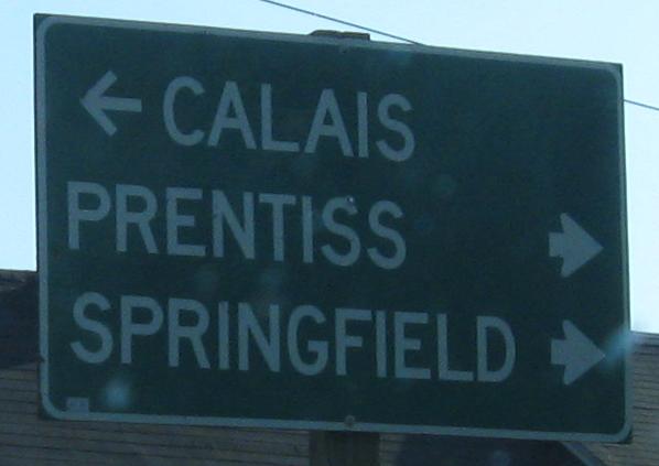
ME 9 EB/US 1 SB into Calais. ME 9 does indeed end on its own, not too far after leaving US 1. While US 1 is so ubiquitously known as Coastal 1 that it makes sense to have it in a separate banner, there is no Canada 9. It should be East 9, left arrow, and a separate green sign with Canada to the left.
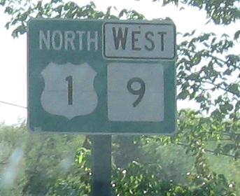
Back out of town after passing the WB multiplex sign atop the page. I assume it accidentally said North 1/North 9, but it could very well have said East in a just-as-bad accident.
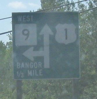
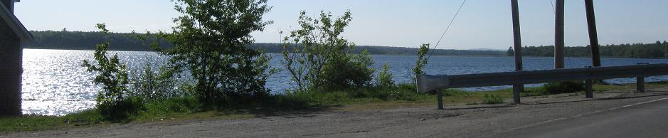
North of the concurrency at Lewy Lake, on the western side of US 1.
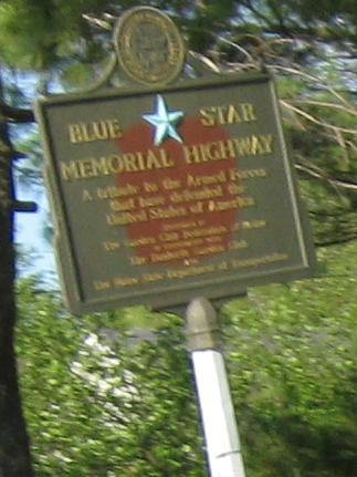
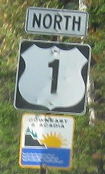
US 1 is the Downeast & Acadia Trail as seen atop this page, and it also gets to be a Blue Star highway. These are all NB.
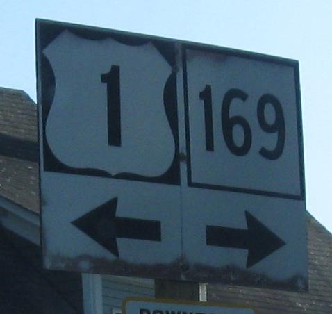
Nothing's new SB at ME 169, but the oldest sign is certainly the one right at the junction, since it's wooden.
Civilization pops in and suddenly we're in Houlton. Check out the US 1/2 concurrency via the big link below; you'll be glad you did. Then continue north for more US 1 photos!
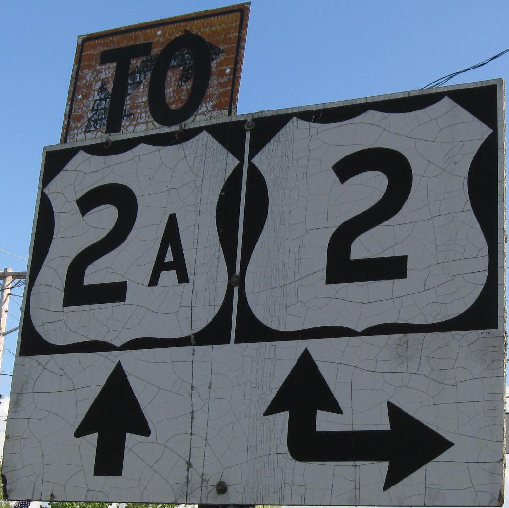
SB at the other end of the US 2 concurrency in Houlton. Click on the big link at the bottom of this page to see photos from that concurrency, and click on this photo to see a closeup. Notice that the "TO" was once a set of arrows.
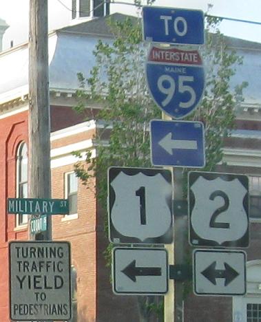
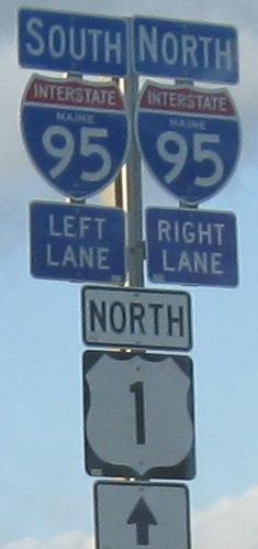
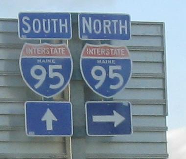
The only time that US 1 crosses I-95 in Maine. These are NB.
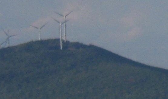
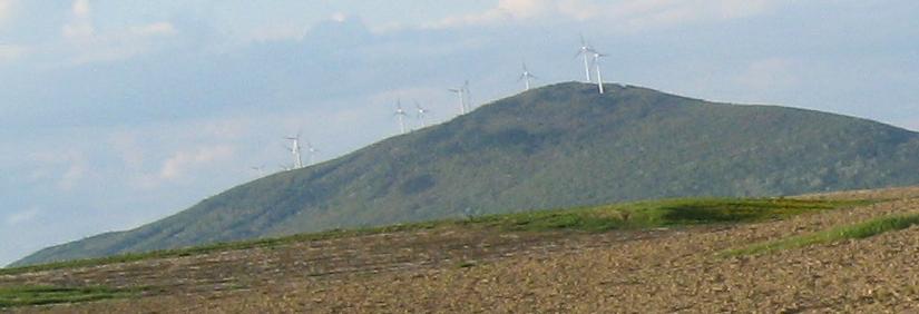
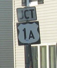
Mars Hill has 28 windmills. Here are a few of them, NB. Then US 1A begins in the town of Mars Hill.
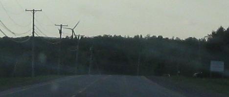
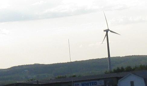
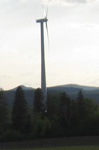
One rogue windmill made it up closer to Presque Isle on its own.
 , Bucksport to Presque Isle