Maryland Roads - US 40 - E. of Baltimore
 east of Baltimore
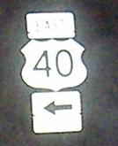
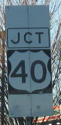
The trifecta of button copy, non-reflective background, and Jersey-style shields, westbound on the east side of Baltimore. For it to be that old and wrong, my guess is that these shields were pasted over the originals (which were likely removed), and Alex Nitzman confirmed that (see US 40 WB on AARoads).
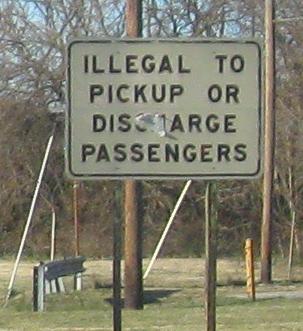
Original white (or was the second one yellow?) signs at the WB ramp to Moravia Rd., once proposed (and still with stubs) to continue as a freeway to the east.
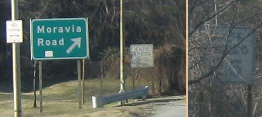
Amazingly, there are different but similarly interesting signs at the corresponding EB ramp.
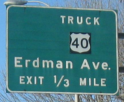
One more as the ramp from Moravia Rd. merges in. Mostly visible, but you maybe can't see there's an alternate route to the right - that would be the ramp to US 40 Truck you saw above.
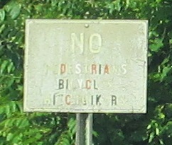
Westbound sign fade near White Marsh.
One-piece sign on the ramp to MD 24. It's a one-quadrant "interchange" where both roads have a traffic light at the connecting "ramp."
EB leaving Edgewood. I won't excuse the design flaws just because it's older - lines between destinations and the hideous spacing of the top line.
 WB past MD 543.
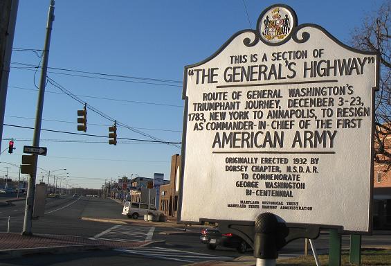
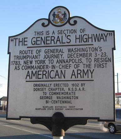
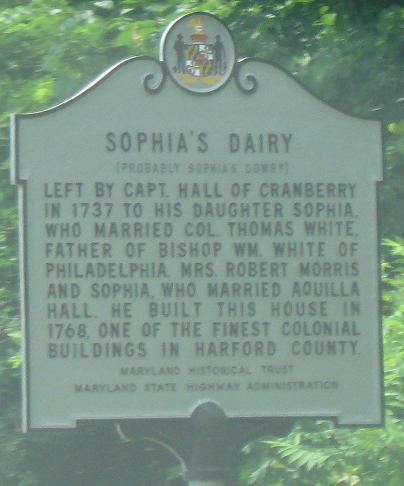
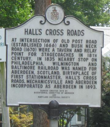
The WB and EB faces of a historical sign on the east side of Aberdeen, which is visible in the back of the first photo. US 40 WB becomes seemingly 100 feet wide with two travel lanes, a strip of head-in parking, and a whole lot of room between the two.
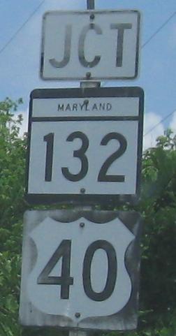
 EB at the same intersection (MD 132/APG Rd.).
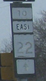
Another old Aberdeen sign, this time on old US 40 (Post Rd.). I think it's at Bel Air Ave. (old MD 22).
MD 132 has a few different sections that follow parts of old MD 22. This one, south of US 40, began along Aberdeen Blvd. at Norman Ave. where it ramps up and crosses the railroad tracks. It's maintained as part of 132, but not signed as such, as you see.
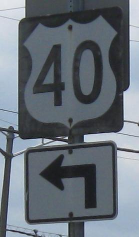
WB - this should have the state name inside because it's a standalone shield.
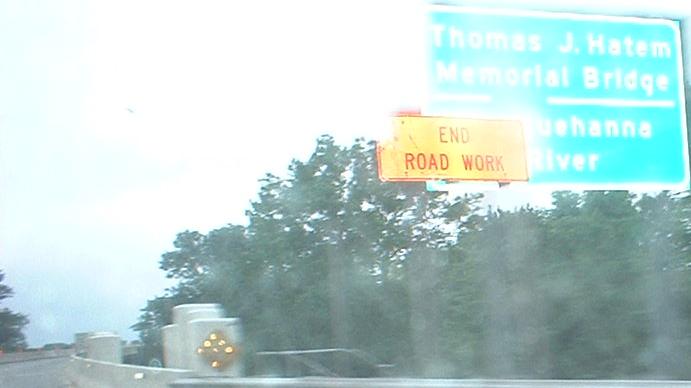
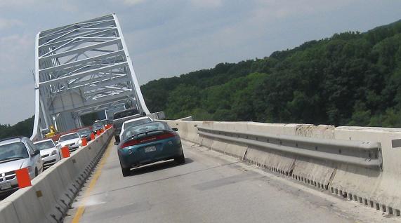
This is the Hatem Bridge (EB), for those people coming off I-95 who are sick of the delays over the Susquehanna (we Hatem!). While there are traffic lights at either end (and all along US 40), on holiday weekends this is the way to go to save at least half an hour. In fact, just stay on US 40 across the Delaware Memorial Bridge, and you miss out on at least two other traffic hot spots on I-95 (the Delaware border and between DE 141 and I-295). The roadway was recently divided, probably because anyone with a map uses the bridge, as do locals, so traffic has been mounting; I'm pretty sure the ROAD WORK was to do just that.
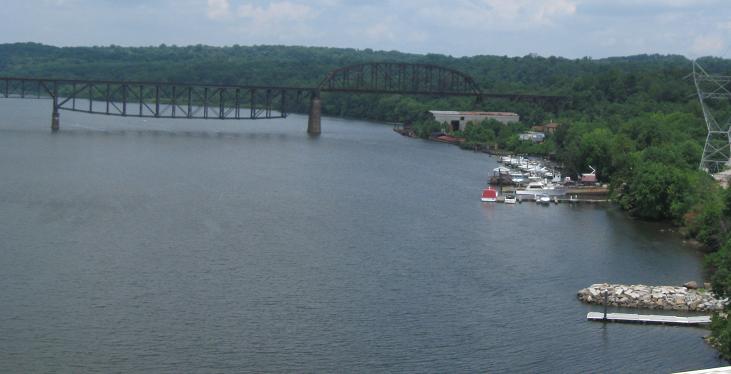
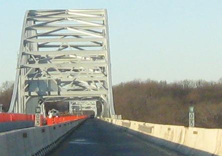
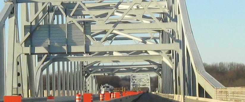
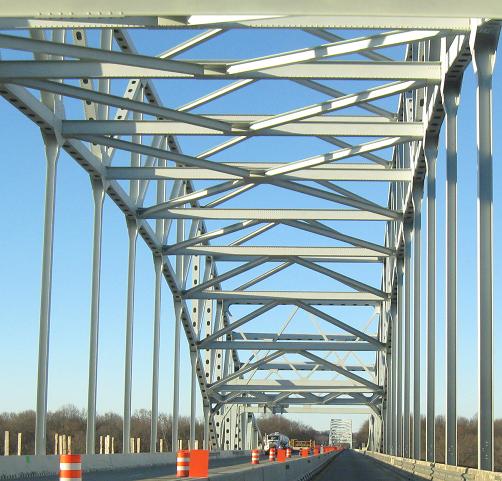
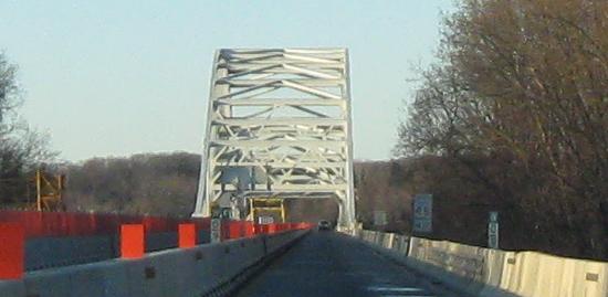
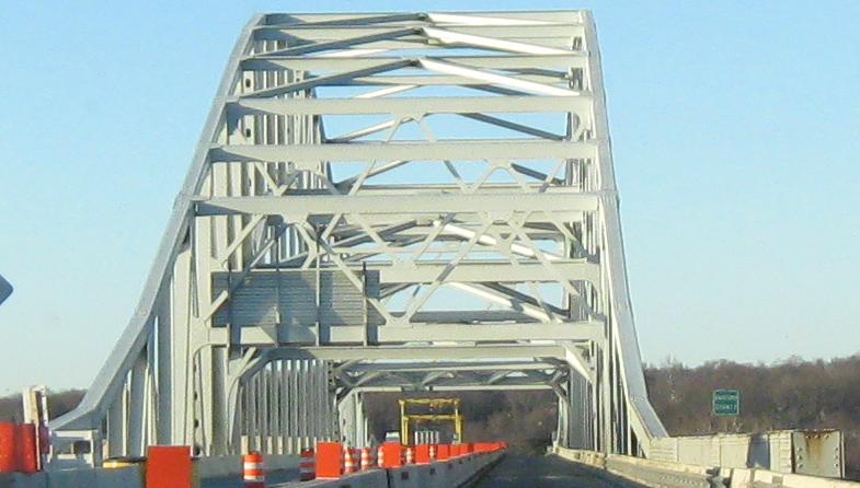
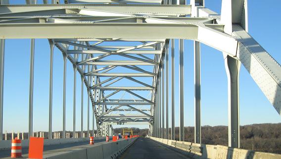
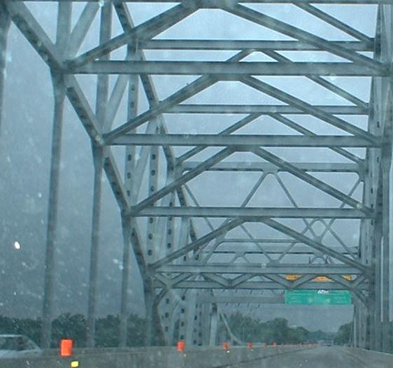
The Hatem Bridge westbound (and Susquehanna River northbound in the first photo), with special green-on-white milemarkers that only count the bridge mileage - from east to west, no less! There are two different spans because the bridge crosses uninhabited Garrett Island.
 EB.
EB.
The old style of one-piece assembly, Whitehall Rd. SB in Elkton, with an older font that includes a very wide "J". What's special about this one is that it was done as two narrow vertical strips pieced together. Modern one-pieces seen at traffic signals across the state have black backgrounds.
Continue west on US 40
To MD 7, old US 40
MD 267, original US 40
Back to US 40 main page
Into Delaware on US 40
Onto MD 151
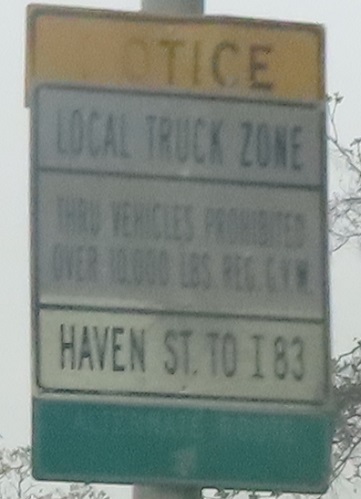
Onto US 40 Truck
To I-83
Onto Moravia Rd.
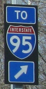
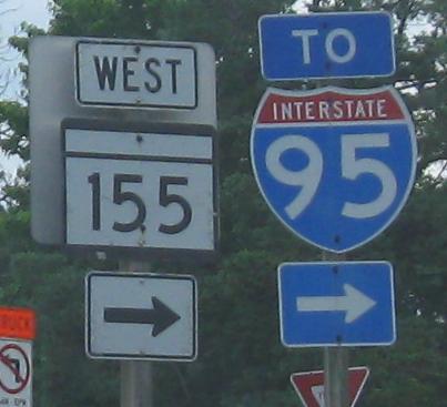
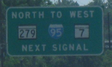
To I-95
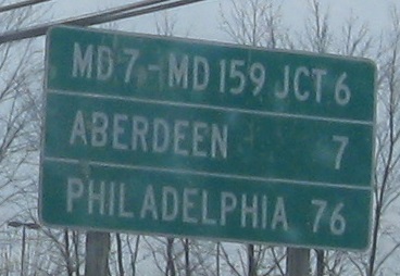
To MD 159
Onto MD 155
Back to Maryland Roads
Back to Roads