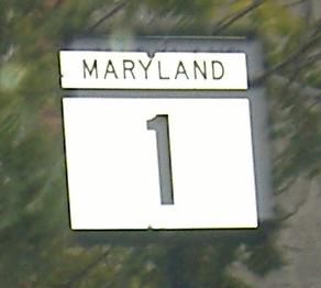
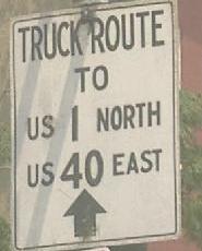
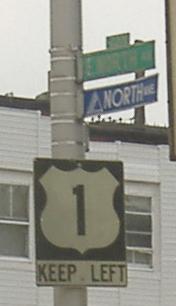
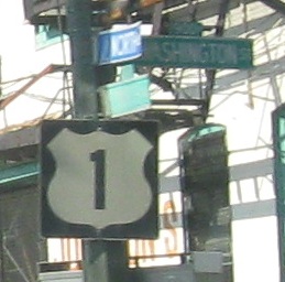
Maryland Roads - US 1 (S. of Harford Co.)/US 40 Truck
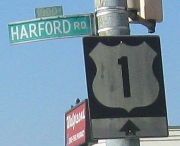
 south of Harford County, US 1/US 40 Truck
Northbound just outside Washington.
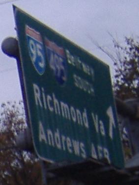
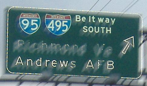
NB and SB respectively. These signs are old enough where originally they only had the I-495 shield on them.
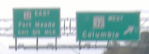
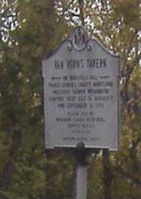
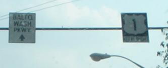
SB between Baltimore and Washington. The MD 32 signs are blurry, but you can tell the shield on the left is a lot smaller than the one on the right. What does the white sign say? This is Van Horn's Tavern, on Vansville Hill, in Beltsville (appropriately named for its location on I-495). The original sign was placed in 1932, and replaced in 1972.
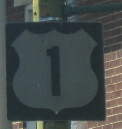
Not really how the shield should look, NB.
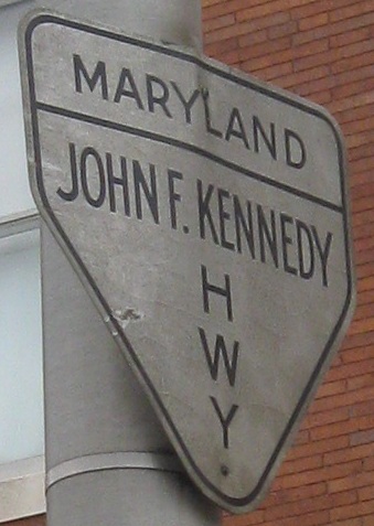
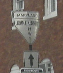
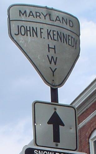
Great NB finds as Wilkens Ave. comes to Fulton Ave., where US 1 makes a left. Wilkens Ave. soon ends, and I don't see how traffic is supposed to continue to find the JFK Highway (I-95 north of the city); my guess is a turn up to Pratt St. Click on the last photo for a closeup with unknown attribution - is it yours?
SB at I-83 Exit 6 and Mt. Royal Avenue.
A non-reflective button-copy surprise, NB.
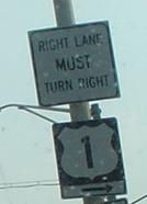
The right and then the wrong way to sign US 1, southbound. This is one of only two Maryland shield errors I've ever seen.
Two more, a little further south, courtesy Lou Corsaro, with a neat old sign for the B-W.
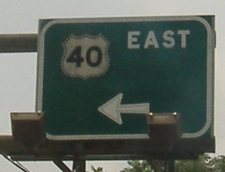
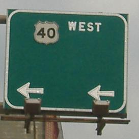
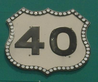
SB and NB, respectively, at the brief US 40 freeway, which was to have been I-170 (see US 40 page, link at bottom). The NB sign for US 40 WEST makes it obvious that there was supposed to be more there, while the SB sign could be interpreted as a sign that the freeway would not be extended further east, leaving about a mile before it merged into the frontage roads (which would have been US 40). Click on either sign for an extreme closeup of the US 40 shield.
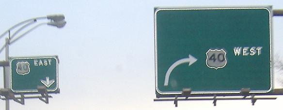
The advance sign on US 1 SB for US 40, and the reassurance shield immediately afterward. Obviously there's enough room for an I-170 shield on that sign, but only by looking closely at the original resolution (or in person) can one see that the arrow on the right is outlined in button copy, while the original left arrow has just single lines of copy. Therefore, the right arrow is newer, replacing what may have been a double-pronged arrow representing a short right for US 40 WB (frontage roads) and a longer right for I-170 WB (freeway).
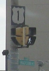
Monroe St., which is US 1 SB ahead, at North Ave., which is US 1 (both directions once NB catches up) to the left. Truck US 1 is to the right and Truck US 40 passes from Truck 1 to regular 1 here (to later leave via MD 151).
Scenes from North Avenue, on which US 1 leaves the Baltimore area. Once 1 turns left, North Avenue ends at the Baltimore Cemetery - see link at bottom to Baltimore.
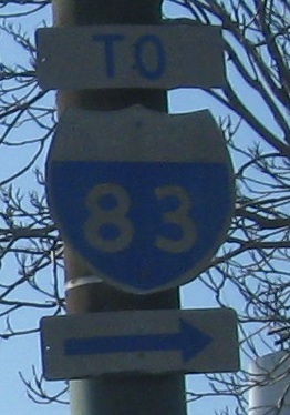
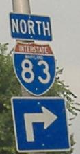
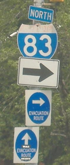
Southbound, last photo courtesy Lou Corsaro where US 1 SB turns left onto Monroe St. just before US 40. The small I-83 shield (see the I-83 page for another) is where US 1 turns right onto North Avenue.
 Out of Baltimore we go, SB at Baker Lane.
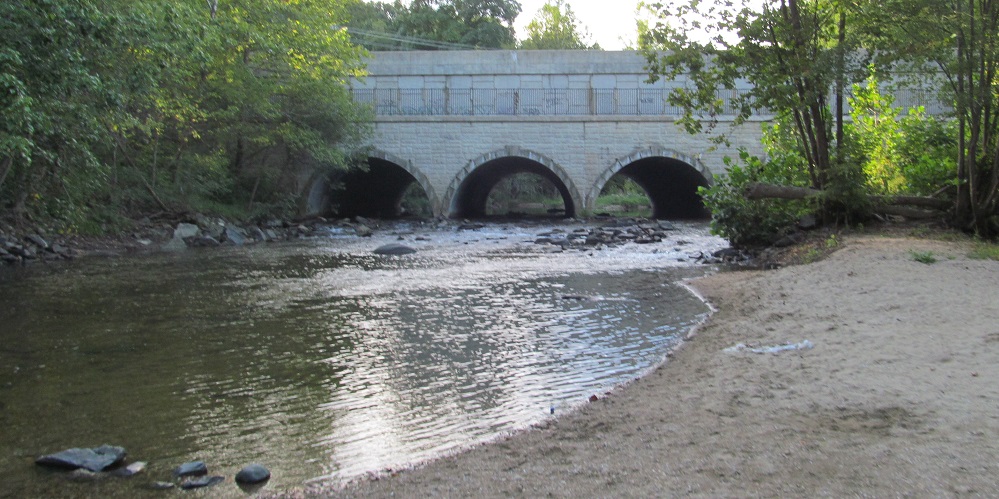
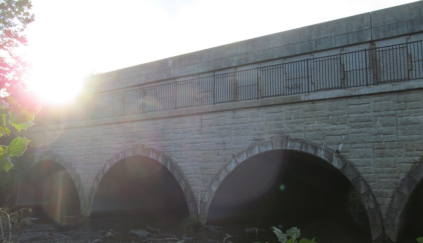
US 1 crosses Big Gunpowder Falls on a relatively new but still interesting bridge, probably fashioned after the old one it replaced when US 1 was widened. These photos look west along the "Falls" (really just a river).
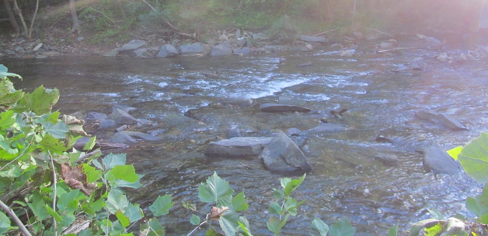
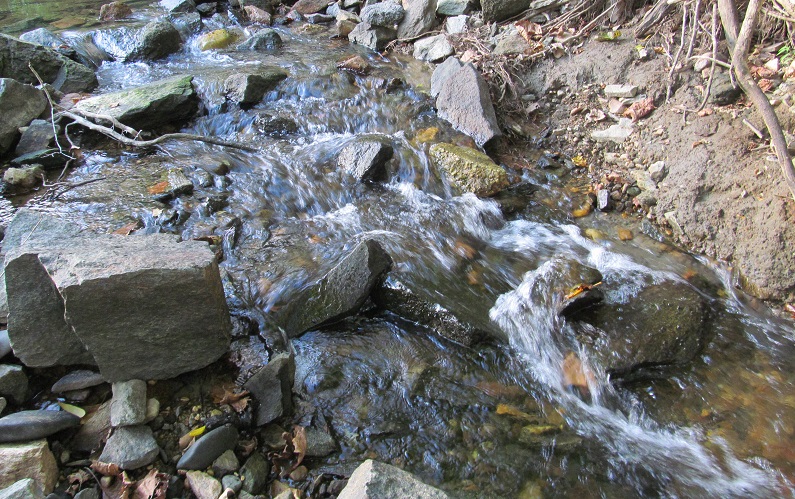
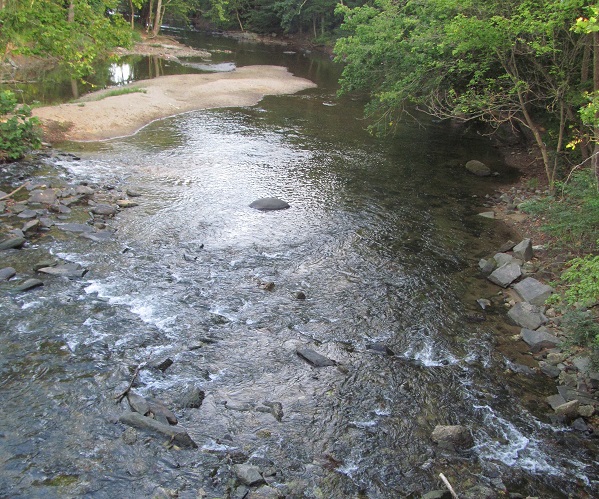
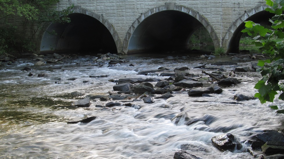
Some south-to-east views of the river.

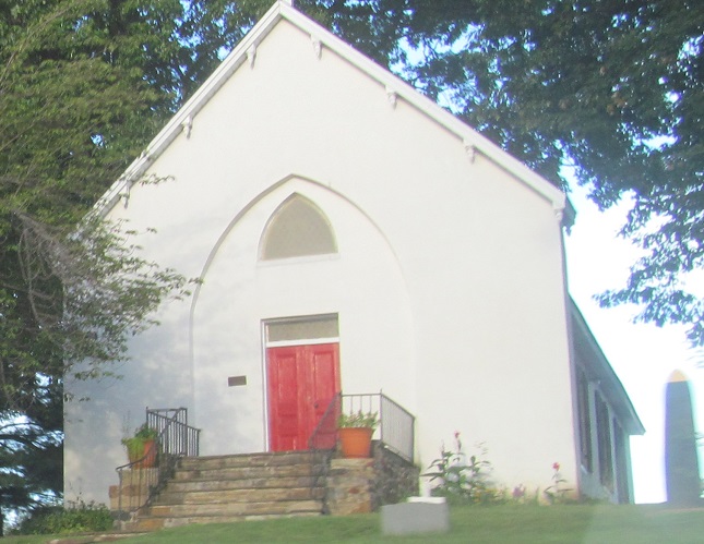
NB along The Sweathouse Road to Saint John's Parish at Bradshaw Rd. in Kingsville.
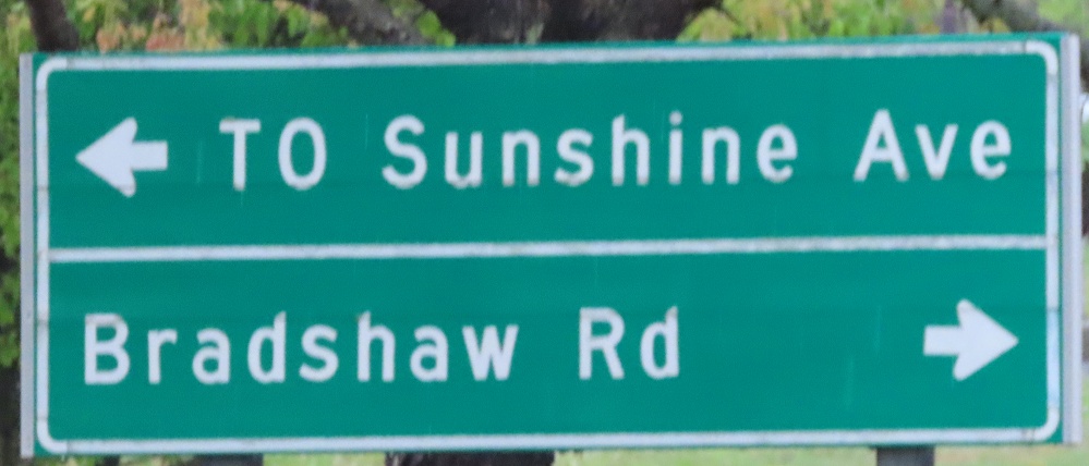
If you wanted to actually turn on Bradshaw Rd., you would have to take a jughandle that is not a jughandle. It's actually Jerusalem Rd., it's two-way, and SB traffic can make the dangerous shallow-angle left onto US 1 just as easily as NB traffic can use this as a ramp. This becomes Sunshine Ave. as it crosses US 1, so "TO" is not needed.
Continue north on US 1
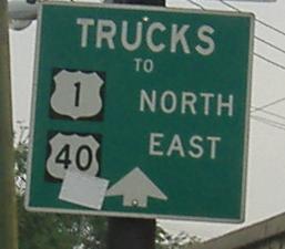
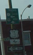
Onto US 40 Truck alone
Into D.C. on US 1
Onto I-95 and I-495 (with 95)
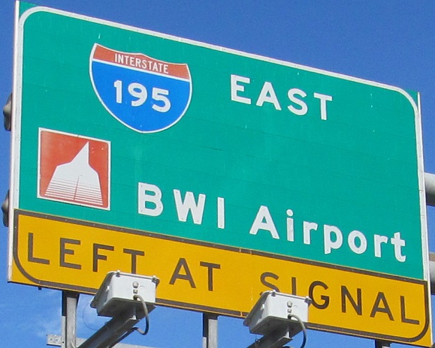
Onto I-195
Onto I-83
Onto US 40
Into Baltimore
Back to Maryland Roads
Back to Roads