Maryland Roads - MD 200/ICC - 2011
MD 200/ICC: 2011 highway and construction photos
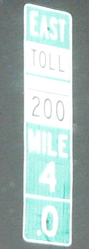
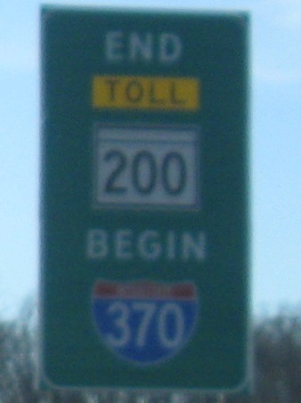
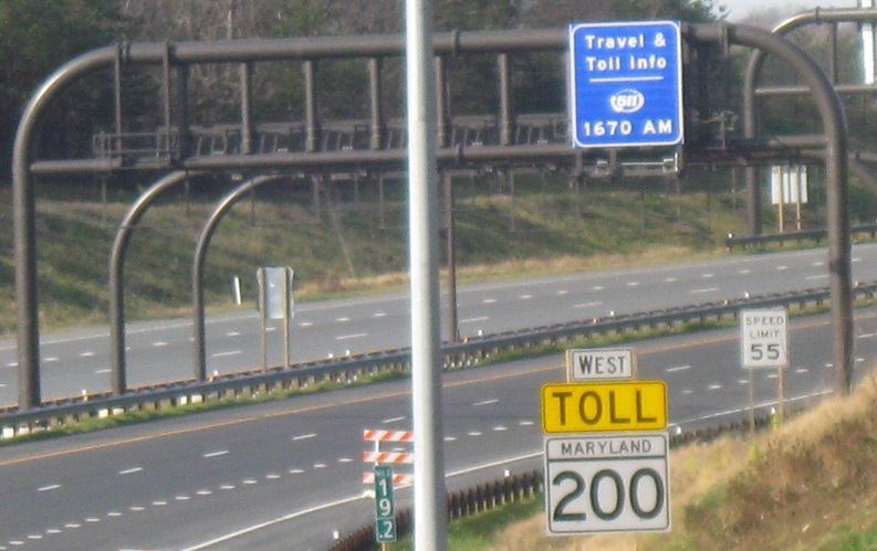
EB and WB at the new changeover from I-370, which no longer follows the road to the Shady Grove Metro station but instead ends right here. The ICC mileposts just pick right up where I-370 leaves off, begging the question why this isn't MD 370, or better yet, an Interstate extension. Note that the milepost includes a white "TOLL" banner; most signs, and possibly even the mileposts, were corrected to yellow banners to match the MUTCD shortly after they were first put up. But it's not needed at all in this application, since there are freestanding reassurance assemblies with the TOLL banner, and you can't even enter the road without passing a couple of banners.
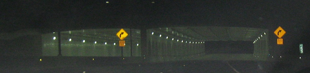
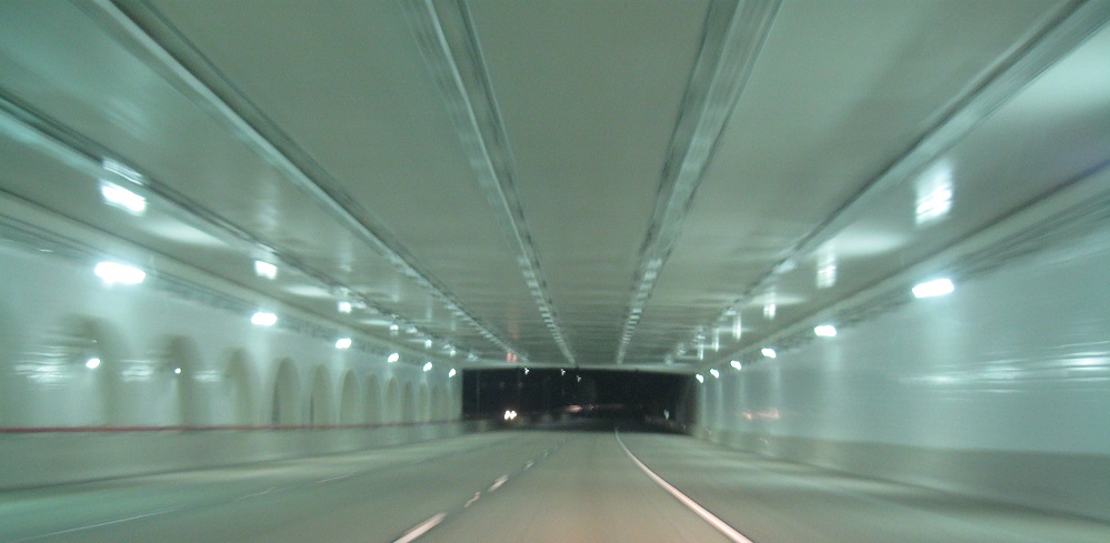
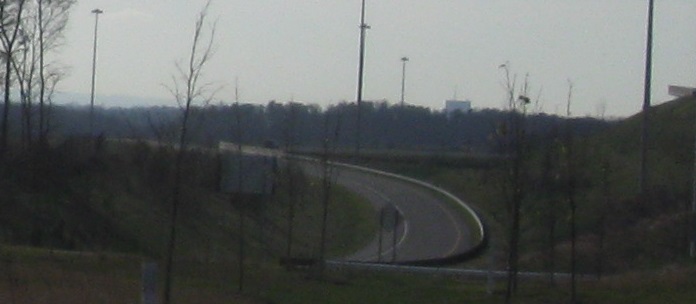
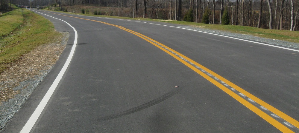
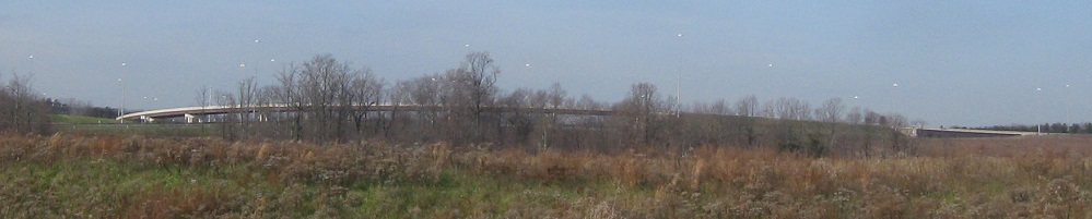
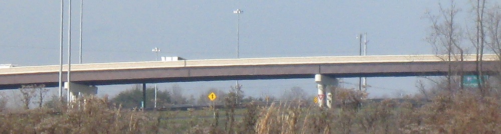
EB under "Olde Mill Run" in Redland. If it were up to me, I wouldn't have bothered with this tunnel for several reasons: the land atop the tunnel is just grass, not even a park; the road is still uncovered on either side, so it's not exactly saving a neighborhood from impacts; and by far the most importantly, I can't respect anyone who uses a word like "Olde" to try to sell people on a brande newe developmente with no character. Harry Seidman points out that this was a pre-existing development and several houses were torn down to make way for the ICC. My response is that they all should have been torn down, just on the basis of the name alone. No, seriously, call it Mill Run and put in a playground and I'll stop whining.
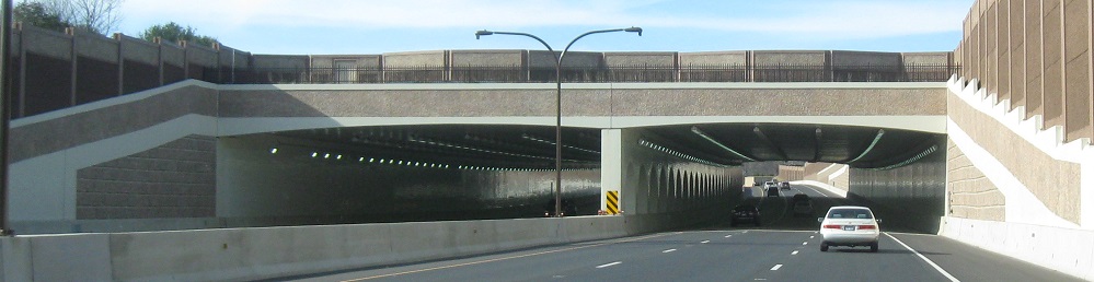
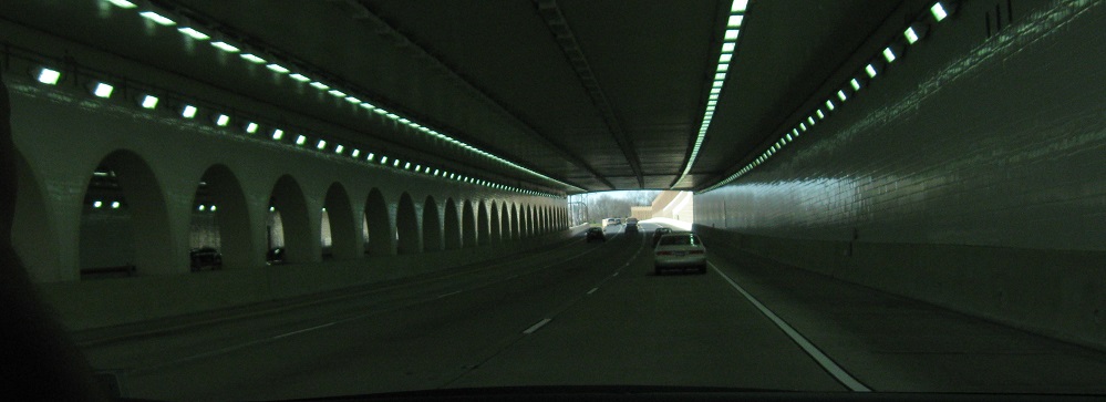
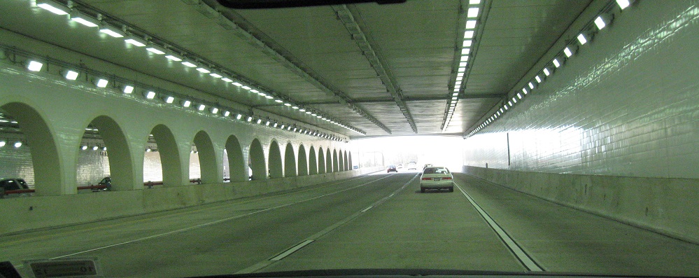
WB through the same. At least it's a cool tunnel. Your ICC toll dollars will be paying for it for quite some time. The whole roadway has three lanes, but it's extremely unlikely it will ever need more than two, certainly in my lifetime. Leaving it graded but unpaved would have saved tens of millions in concrete costs.
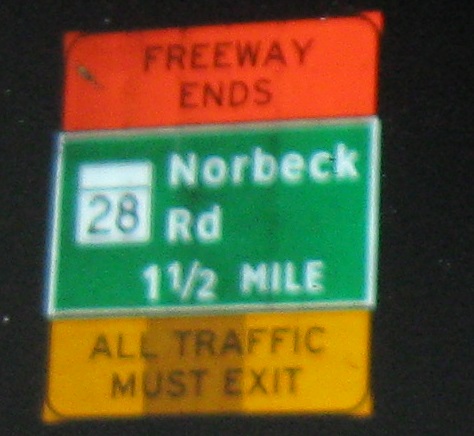
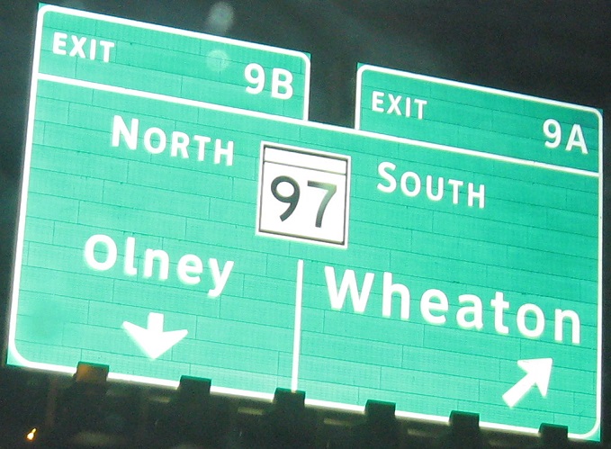
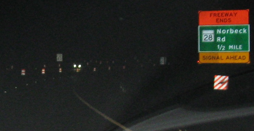
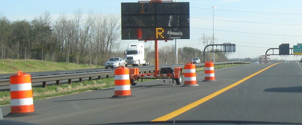
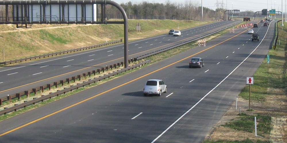
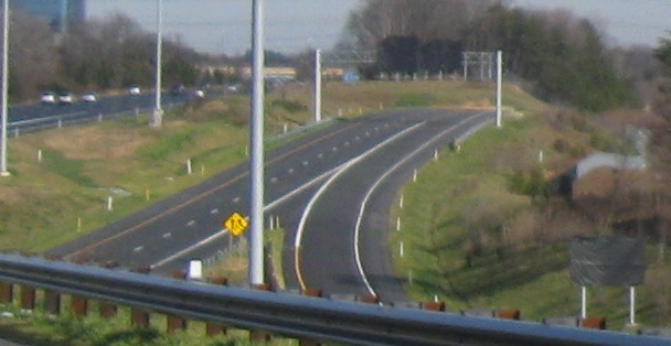
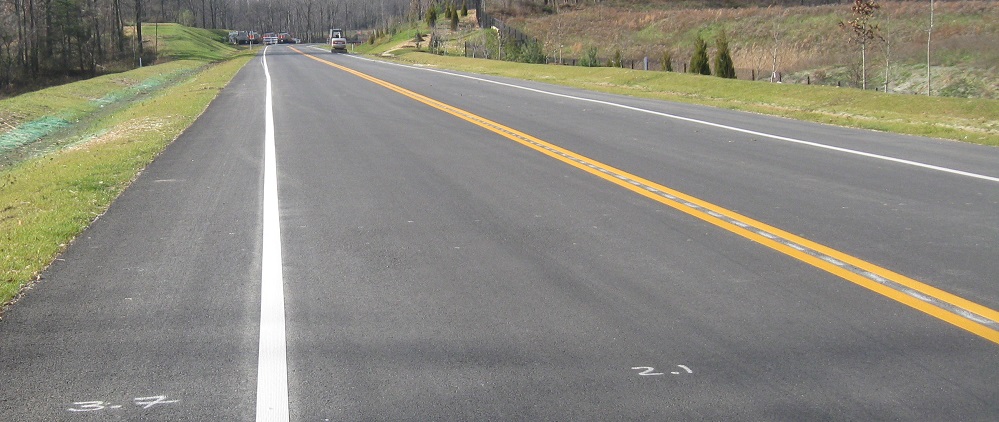
Shortly after the first part of the ICC opened, in late February 2011, EB traffic could only go as far as MD 28, and would then follow 28 to get to I-95 and US 1. What makes that interesting is that the MD 28 ramp (and the 40 mph speed limit) was removed once the ICC was extended, in order to avoid weaving with the onramp from MD 97. Of further intrigue is that MD 97 was renumbered as Exit 8 later in 2011 for no discernable reason. I can't imagine that the awkward exit sign was replaced, but it needs to be two signs.
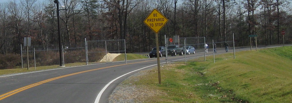
New signs shouldn't have design errors. This EB one needs to be wider for the street name, and the arrow needs to be centered. Heck, the arrow needs to point right at 45 degrees instead of lazily leaning up against an imaginary wall.
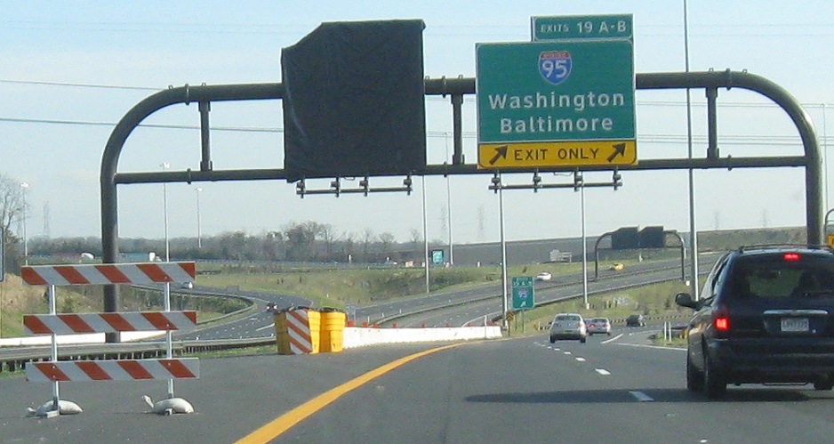
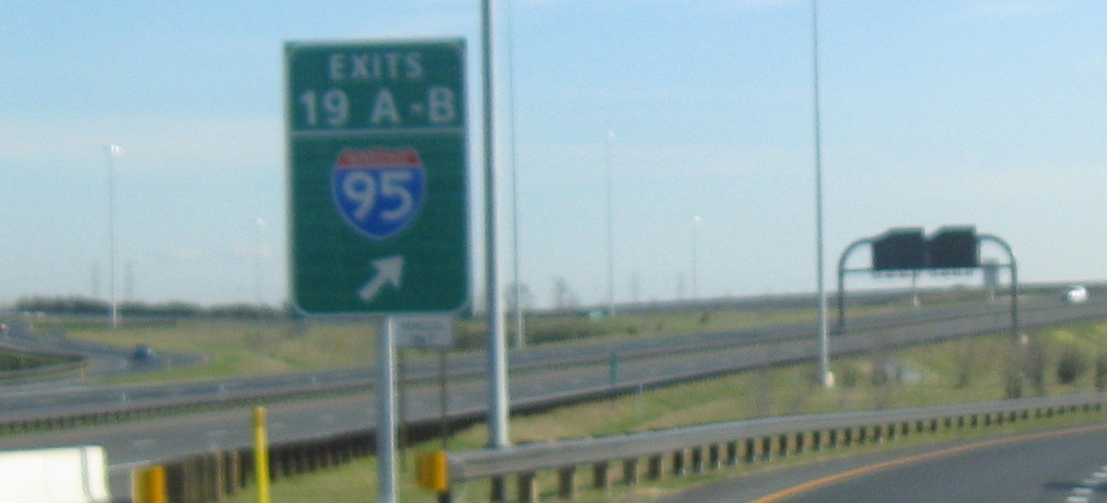
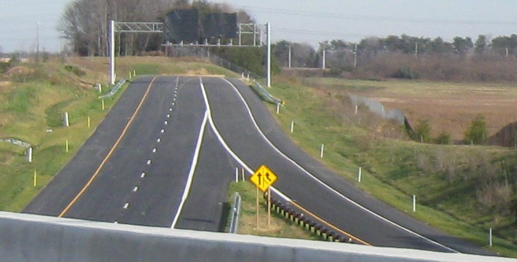
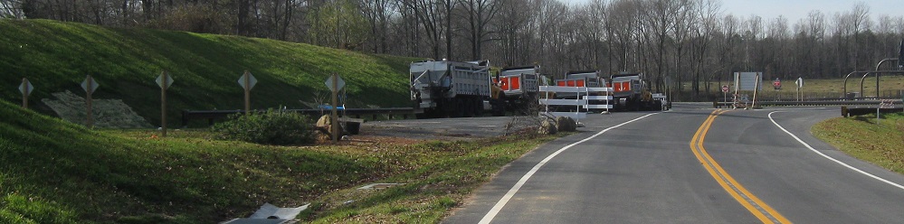
By the end of 2011, this was the new temporary end of the ICC, pending further extension toward the ultimate goal of meeting US 1. (First step: making it past I-95.)
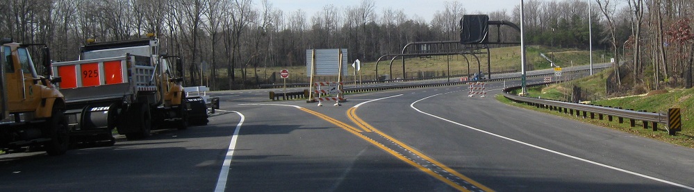
Two similar views looking east from the Old Gunpowder Rd. overpass, showing off the temporary lane drop and signs for future exits beyond I-95.
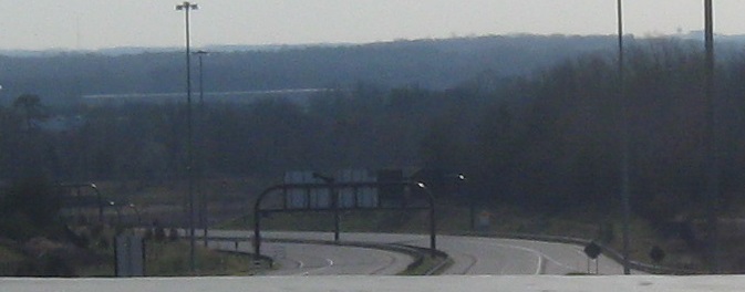
From the EB ramp to I-95 NB, I look back at the eastern extension of the ICC, already completed halfway to Virginia Manor Rd. All the ramps are in at I-95, including the WB-NB ramp seen in the last two photos. Even with the ICC open, the latter will have nothing to connect to until the I-95 C-D road is completed north to the existing one at Exit 33 (MD 198).
Looking ahead on that same ramp, here's the future C-D road, with signs already in for the upcoming Exit 33 (and even a planned Exit 32 to Van Dusen Rd.), but I know of no progress over two years later.
At the end of 2011, traffic could only head east by ducking behind a barrier - or by coming to Virginia Manor Road and heading west. This is now a WB onramp, but was temporarily a two-way access road for official vehicles only. For the purpose of the ICC Meet, we were official enough.
A not-unreasonable view of the MD 200 EB flyover to I-95 NB, and a few of the signs already up and uncovered on the ICC WB. After all, anyone entering the highway would be merging with (and yielding to at the same time, apparently) those official vehicles.
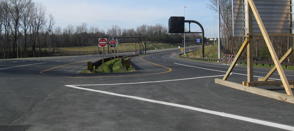
The paved end of the ICC was striped for a U-turn. Why bother? Why not just leave it unstriped? It's all official vehicles, they should know what's going on.
Looking east at the EB and WB roadway stubs, respectively, and then heading back east on the access road. There will be an EB offramp to complement this once it becomes WB-only.
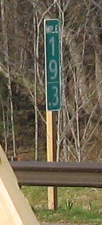 Easternmost mile marker on the ICC, for now.
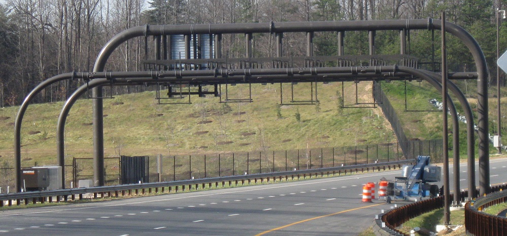
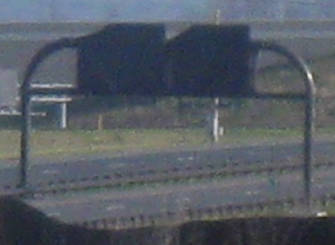
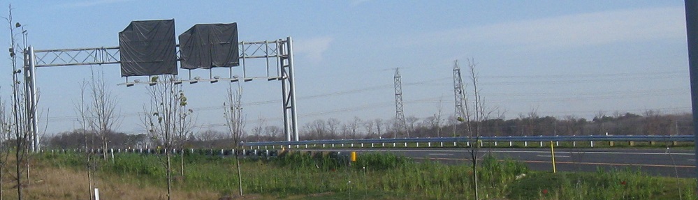
Looking east at sign assemblies and similarly constructed overhead toll gantries over the EB and WB lanes, respectively. All the signs are ready for the extension, even though it's a couple of years out and no one will see them before then.
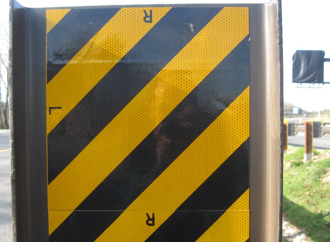
This actually matters. Put the "L" on the left when traffic passes on the left, put the "R" on the right when traffic passes on the right. But I'm a tiny bit surprised the instructions are printed so large.
2010 construction photos
More ICC construction photos on I-370, MD 115, MD 97 (via Exit 9), MD 28 (via temporary ramp), and I-95 (via Exit 19)
Back to MD 200/ICC main page
The December 2011 ICC Road Meet
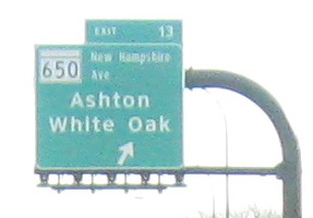
Exit 13 to MD 650
See more of Prince George's County
Back to Maryland Roads
Back to Roads