Maryland Roads - MD 144 - Current
Current 
All photos are eastbound (or non-directional) except for one near the end.
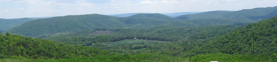
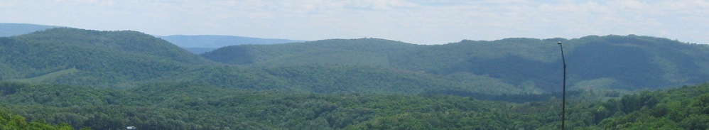
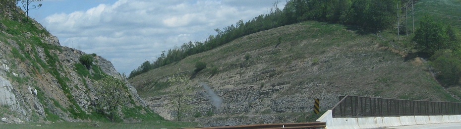
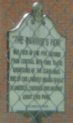
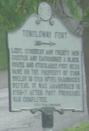
The Martin Mountain area east of Cumberland. I-68 passes through the cut in the last photo.
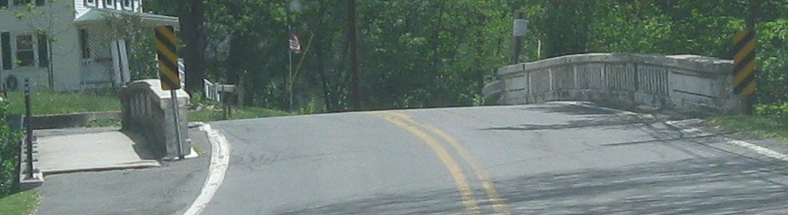
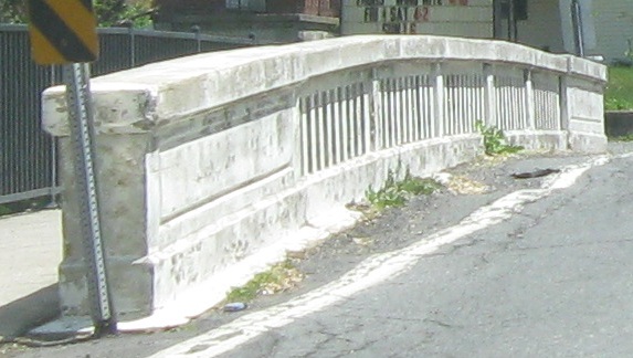
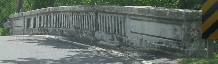
Just past I-68 exit 56, MD 144 crosses Flintstone Creek in the namesake town on what appears to be a second-generation National Road bridge (early 20th century).
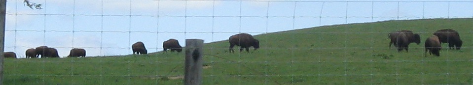
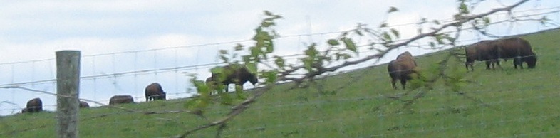
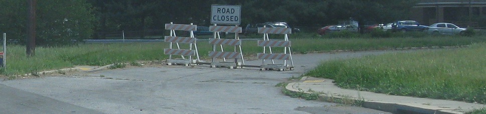
Things that make you go "Hmmm": buffalo in Maryland.
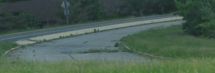
Now into Hancock, starting at Locher Rd. MD 144 disappears into US 40/I-70 east of town.
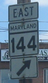
After a short, meaningless section of old road in Hagerstown, another section of MD 144 begins in Frederick where US 40 jumps onto I-70 by way of US 15. The first sight is a loop ramp to US 15 NB cut off, requiring EB-NB traffic to turn left at a traffic light. Both SB loops are intact, so why was this one taken out of service? There can't be that much SB-EB or NB-WB traffic, because those movements are much better served by other roads (Motter Ave. SB into Frederick, I-70 WB around it).
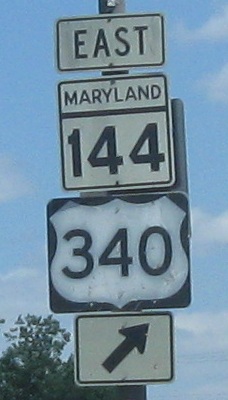
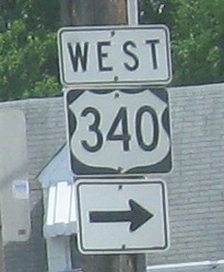

What's old in Frederick. US 340 has always ended at US 40, but now 40 follows 15 to I-70 and has since 1959, so 340 (multiplexed with 15) ends southwest of downtown. Jefferson St. still continues from that point to MD 144, where it's still signed as US 340 West. The assembly in the second photo should always have had a "TO" on it, even when MD 144 was US 40, but the WEST assembly is much newer and Maryland certainly should have learned how to do it properly by now.
Not quite as old, but of an outdated design, as MD 144 EB through Frederick comes back to the older WB road. The modern scheme reverses the black and white arrow colors, but I prefer this look because of the contrast it offers. Also, the old school is always charming.
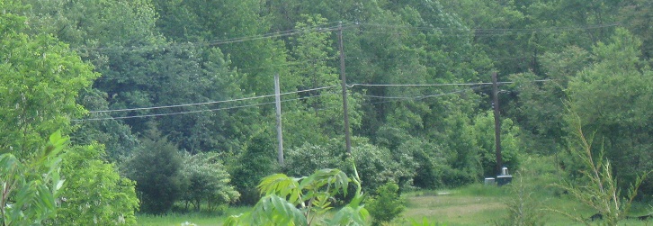
MD 144 pops back to life for a short distance in New Market, where I suppose MDSHA just couldn't convince the county to take the remaining mile and change of state highway. This segment, designated FB internally, starts as the National Road but bends up to meet MD 75 to the north. The National Road continues straight to a dead-end and takes the utility poles with it.
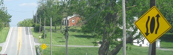
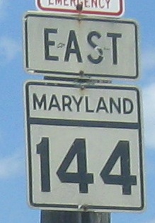
A few miles later, MD 144 starts once more at MD 27, and MDSHA fails at combining signs for Divided Highway Begins and Ends.
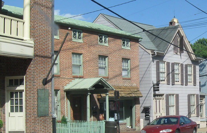
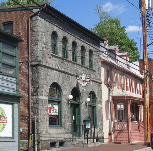
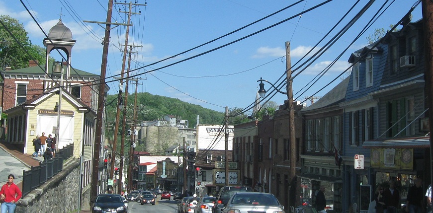

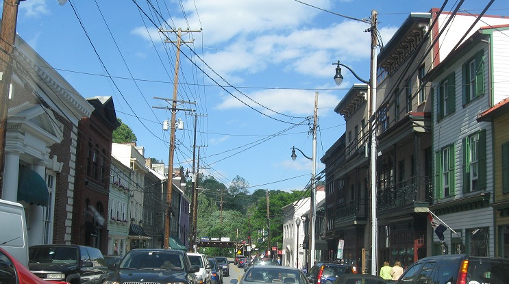
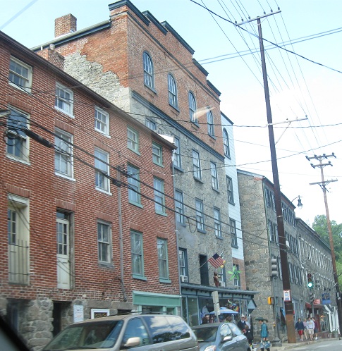
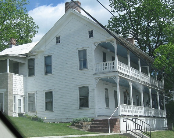
Historic, gorgeous, and very slow Ellicott City. I'd recommend checking it out before 9 AM on a weekend morning when there's a chance that people aren't milling about yet.
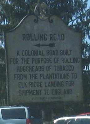
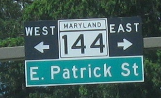
Here's the one WB photo, at MD 166 (Rolling Rd., of course) in Catonsville.
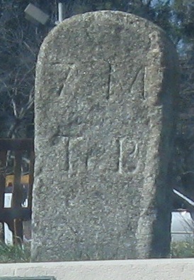
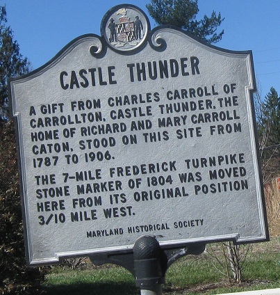
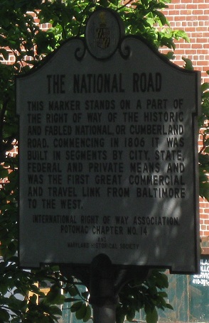
This 19th century National Road distance marker, 7 M(iles) To B(altimore), is just to the east of Rolling Road. It's now well-protected but still subject to the ravages of weather.
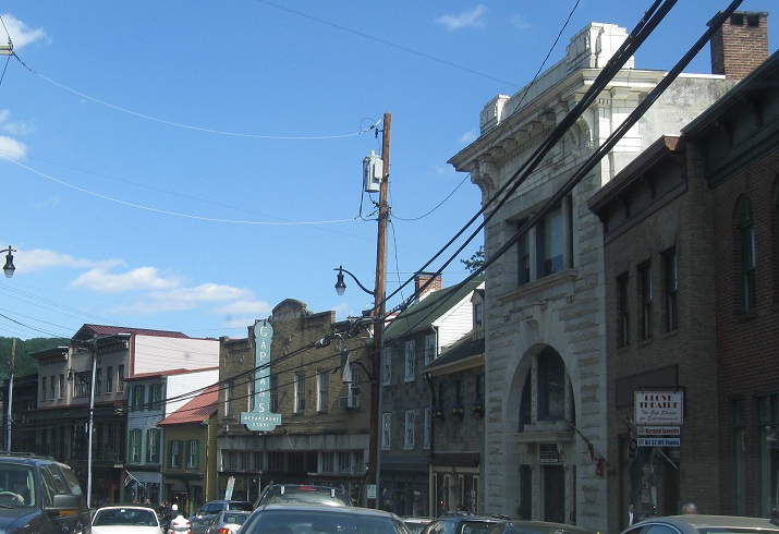
Characteristic Baltimore signs.
Old Monocacy River bridges
Back to MD 144 main page
Modern US 40
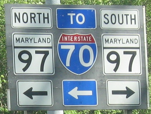
Onto US 15
Back to Maryland Roads
Back to Roads