Manitoba Roads - MB 101
MB 101, Perimeter Highway
All photos are counter-clockwise.


Starting on the southeast side of the MB 59 interchange, which was not really an interchange yet in 2013. MB 101 NB came in on a 4-lane divided highway, squeezed into a 2-lane road on the future SB carriageway and shoulders, and then dipped down the future 59 NB-101 SE ramp to a T intersection at MB 59. (You can see the future roadways in concrete, with their shoulders and temporary pavement in asphalt.) By 2013, this arrangement was slightly upgraded so that MB 101 EB-SB could use a direct ramp and continue straight, but MB 101 NB-WB (the inflection point occurs roughly around here in the Perimeter Hwy.) had to come down here, turn right at the light, then turn left a short distance later onto the next 4-lane divided section. At some point, this was to be ameliorated with a loop ramp to take MB 101 NB-WB up and over MB 59, touching down on the other side and getting rid of the northern signal. But why do that when you can fix the whole interchange? Starting in 2015, the EB and WB divided highway stubs were reworked into a freeway mainline that cuts straight across MB 59 before curving into its old alignment.


Leaving MB 59, these photos show the former EB carriageway to the left, back when this was a pair of simple T intersections along 59.


More views of the old EB roadway, and you can see the newer ramps behind it. The first photo shows the stub of what would have been the loop ramp connection from MB 59 NB. It would have cut off the old, unused EB roadway and tied into the current WB road here.

Why would truckers from the United States be on the north side of the Perimeter Highway?

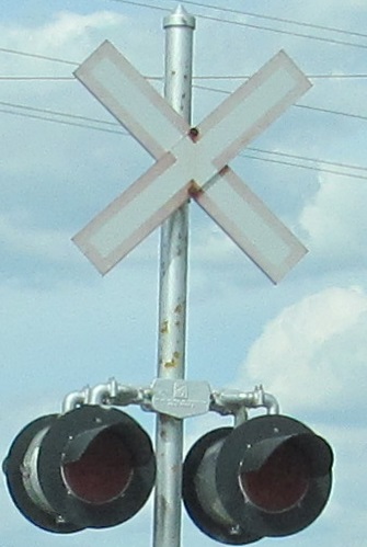
Why does Manitoba use such a small 7 shield? Proportionally, the rectangle containing the number should be at least as tall as the city route shield, and then the point extends below that.


Construction was heavily underway in June 2013 for the completion of MB 190, a connector through the industrial areas north of the airport to City Route 90. For now, it ends here at this partial cloverleaf interchange with MB 101, but is planned to continue west to the junction of MB 26 at TCH 1. Put the underlines together and you get 190. To facilitate overpass construction as well as reconstruction of the approach roadways, I am eased off the SB carriageway onto the NB side, which is about to depart the freeway entirely and follow the future NB ramps to MB 190. The sign bridge on the closed SB side marks the beginning of a C/D road that spans the interchange and serves the SB cloverleaf ramps for traffic to and from the east, which for now is the only direction one can travel but is projected to carry most of the heavy truck traffic in any case. The NB left turns are done at grade and appear to be designed to always do so. (They have been paved and appear to be open now, but only serve as U-turns in the interim.)


Onto the future NB ramps we go, down below the 3 future overpasses for MB 101 NB, SB, and C/D road. Work is progressing well toward the eventual opening date of 11/22/13 for MB 190, less than 6 months after my visit. The future NB exit ramp curls away from the mainline in the last photo, coming down the embankment through the plastic barriers into the alignment I'm following. From here, I don't get to rejoin the mainline just yet, because part of this project includes new overpasses for Saskatchewan Ave. and the railroad it follows. Interestingly, the NB exit ramp has its own railroad overpass, even though it doesn't leave the mainline until the north side. Meanwhile, there is also a SB bridge being constructed for the future ramp from MB 190, which now sits orphaned awaiting the extension.


I continue along the temporary road, across the railroad at grade, the way MB 101 did until this project as a 4-lane divided road. Saskatchewan Ave., which would run under the southern half of the overpass, has been closed for construction, cutting off MB 425 from its east end at MB 101. (Interestingly, with construction complete, MB 425 still ends at MB 101 despite there being no access between the two.)


Rejoining the mainline by the overhead gantry for the future NB exit, with a couple of poorly focused looks back at the concrete carriageway construction to the north.


Back in the NB lanes, I pass by the direct SB ramps for Assiniboia Downs. The entrance has always been here, and has been limited to SB-only for longer than construction, with the original left turns closed some time before May 2009 using temporary traffic control.


SB traffic rejoins the SB roadway just in time for MB 101 to end at TCH 1 and become TCH 100 for the southern segment of Perimeter Hwy.
Continue on Perimeter Highway to TCH 100
Onto MB 59
Onto TCH 1
Back to Manitoba Roads
Back to Roads