Massachusetts Roads - MA 2/US 3/MA 16
MA 2/US 3/MA 16
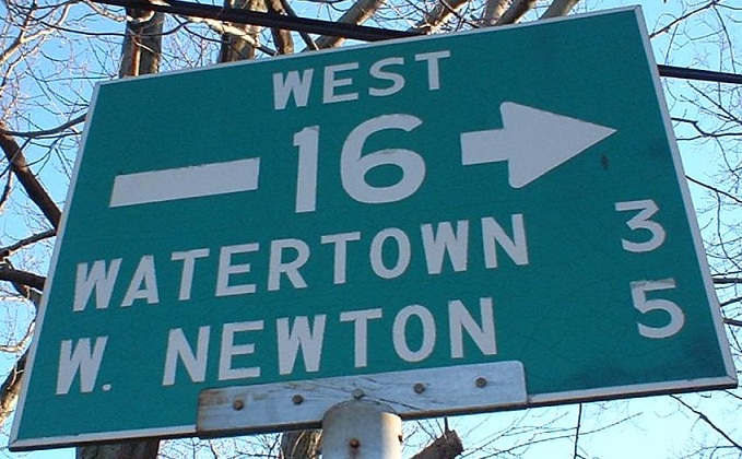
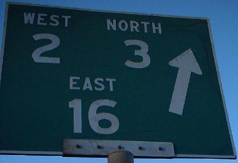
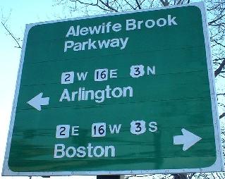
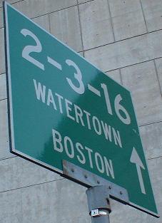
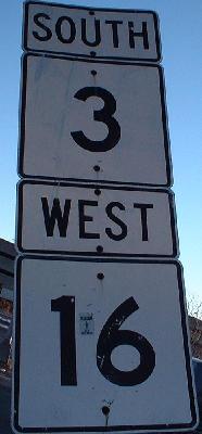
At the southern junction with MA 16, facing SB. The numbers are pure Massachusetts, from the extra-curly 6 to the funky 3, and date almost to the bicentennial, August 1976.
MDC signage at the southern/eastern of two circles, where 2-3-16, the Fresh Pond Parkway, meets Concord Avenue from the east, and the routes turn ontp Concord.
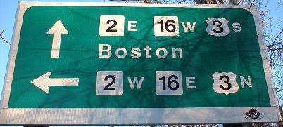
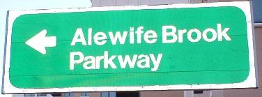
MDC signage at the northern/western circle, where Concord Avenue leaves to the west and 2-3-16 head north as the Alewife Brook Parkway.
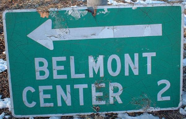
Two non-MDC signs from the northern circle, both gone now (there were none at the southern by the time I got there). Belmont Center is along Concord Avenue, but given that this sign was wooden and lying in the snow for so long after being knocked down, motorists probably will never be able to find it again as this sign was doomed (RIP, early 2003). The first sign had a nice, old notched 2.
In the Alewife T station located at the southwest corner of the intersection between MA 2 and US 3/MA 16.
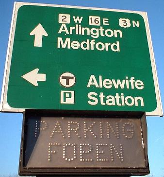
From 2/3/16 first NB, then SB, one intersection south of the end of the triplex. If you can't tell whether the lots are full or open, well, neither can motorists.
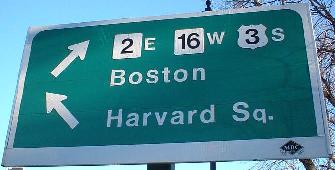
Coming out the southeast exit, where the two signs above this one are. All three are MDC-licious.
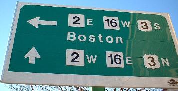
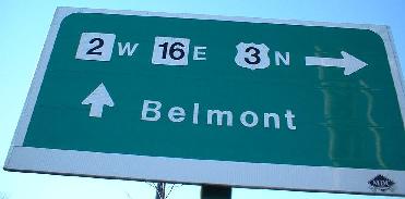
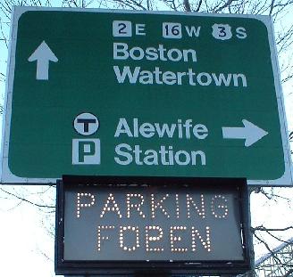
A perfect pair of signs inside the Alewife station roadways... except 2 EB really should include US 3 and MA 16.
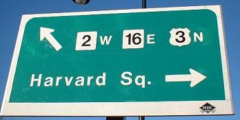
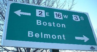
Again, this sign's fine, if you ignore the fact that all three routes in all directions run on Alewife Brook Pkwy. Thanks, MDC.
Nothing at all wrong with this old sign. But if you were there, you'd see that it's been twisted 90 degrees, and now faces the wrong way up the EB 2 offramp into the station instead of up the western access road toward the station (traffic from other businesses would come this way to get out onto 2/3/16).
The junction between MA 2 and US 3/MA 16 is a channelized 3-Y intersection; think of three roads coming in at 120 degrees, such that all left turns cross at a point, and all right turns are served by ramps. There's one twist - there's a ramp out of the Alewife T station that comes into the east side of the intersection, cutting across NB 3/EB 16 traffic and merging with WB 2 traffic. And, of course, due to traffic volume, MA 2 EB traffic is not free to merge with SB 3/WB 16 traffic; you have to wait for the light.
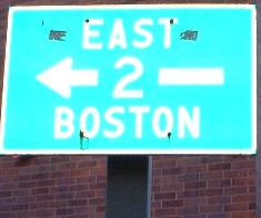
Yes, that's right, MA 2 EB and MA 16 WB merge. Wrong-way multiplex.
NB where the MA 2 Jersey freeway (freeway with private driveway access) heads westward. This was supposed to be a complete freeway to the west and east, eventually becoming I-90, but once MA gave up trying to push the 2 freeway west through such difficult terrain as that around North Adams, 90 defaulted onto the Mass. Pike and MassHighway just stopped trying to improve 2 at all.
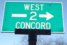
Still SB - this sign should mention 2 EB, but it's possible the reason it doesn't is that the sign was made when MA 2 was supposed to continue as a freeway to the east. More likely, Mass DPW just messed up. Then, MassHighway compounded the error with the jumbled, shared-bolt assembly below.
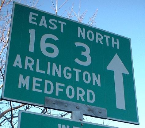
SB on MA 16 and US 3, at the MA 2 junction. For much older signs just a little bit north of here, look to the right.
Onto MA 2 and US 3 without MA 16
Back to US 3 main page
Back to MA 16 main page
Back to MA 2 main page
Into Cambridge
See more of Middlesex County
Back to Massachusetts Roads
Back to Roads