Massachusetts Roads - MA 8 and 2/8


Entering the state from Connecticut in 1976, courtesy Michael Summa. Michael was in the photo looking very dangerous, warning the world to Obey Signs (signs, signs, everywhere signs), so I had to crop him out.

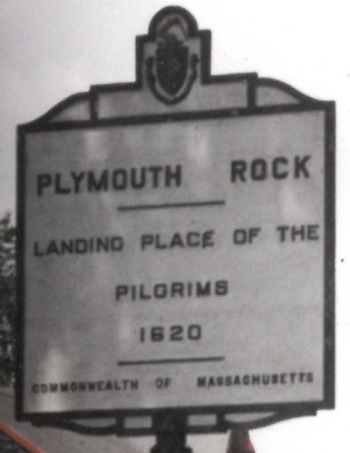
Old example of speed limit substituting for advisory speed, northbound approaching MA 57 at a dangerous, hilly intersection. I guess it's a legal speed zone.

MA 8 EB/MA 57 SB on their block-long duplex.

NB, just north of 57.


Heading south along the West Branch Farmington River until I spy something in the distance.


I spy the Tannery Bridge, so I cross it out of Sandisfield and back.


Through North Adams into Adams, past Dalton, ending in Otis. These wide-font old shields only seem to be present on MA 8, MA 2, and US 5, not either of the other single-digit routes in Western Mass.

Since black on black embossed doesn't come out well, this is Becket Town Road, from 1768.

Old-font Pike shield, unfortunately without an arrow through the hat, southbound below an 8 shield.


A copper Massachusetts state seal, as well as quite a bit of concrete, have been scraped off of the sides of this bridge in the last 85 years. The photos are of the eastern and western sides of the bridge, respectively.

In the side of a railroad overpass just south of MA 2 in North Adams.
Coming downhill from Furnace St. to Furnace Bypass.

This NB sign on the MA 2 overpass introduces so many questions. What necessitated the tape job? Did the old numerals just fade or did the clearance magically change? The latter may somehow be the case because the replacement for this sign reads 13'-10".


Sometimes, as on many multiplexes, the signage gets a little separated. These are both on MA 8 SB as well as MA 2 WB, but in the first photo the 8 shield is several feet down the road, and in the second photo there's no corresponding name for the MA 8 highway.

Insert the cracked eastbound/northbound multiplex shields from the top of the page here, and then U-turn when the two routes split. US Highway Lions Club is a hard route to trace, because it shows up everywhere. In other words, interesting choice of seal design for these organizations.
 East Main St., former MA 2/8, EB at Church St.

The southern face of the Vermont border stone; I have more views on the VT 8 page. The stone dates to 1896, so don't know why 1930 was scratched above it.
Onto MA 2 alone, west of Orange
Into Connecticut on CT 8
Into Vermont on VT 8
Child routes MA 8A (two of them)
Onto MA 57
To the Mass. Pike
Onto MA 2 in general
See more of Berkshire County
Back to Massachusetts Roads
Back to Roads