Massachusetts Roads - MA 31

Photos are in north-south order. The "sign" above would be 5th on the page.


Two views of the bridge parapet on the east side of the western MA 31/MA 119 intersection, looking south and north.


SB photos ending in two Mass. D.P.W. signs. I am using the first weight limit photo to prove there are two identical signs for the same tiny bridge.

Much older than the previous curve, also SB.


Continuing southbound, back from the ancient to the merely old. That slow child looks like she's leaping to her death - it doesn't help, of course, that here the "blind drive." Poor girl.
 NB just north of the next two photos.


This old assembly faces the end of Smithville Cross Rd. NB. I wonder if it ever had state-erected directional banners on top. The second photo is just a glorious collection of small-print closeups predating the conversion to MassHighway.
 A second glass reflector sign, NB approaching Smithville Road.
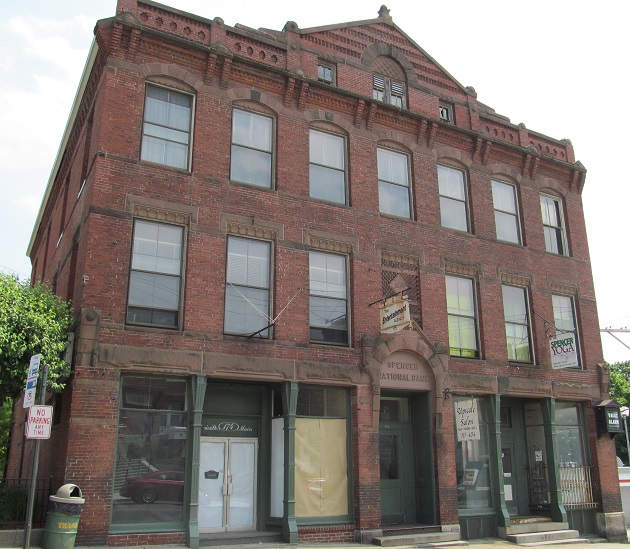
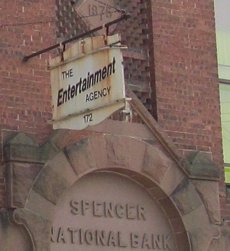
Downtown Spencer, on the southeast corner of MA 9.


At the Connecticut border is this 1906 stone. Connecticut's T is for Thompson and Massachusett's D is for Dudley - thanks to Doug Kerr for pointing out the obvious that to me was clearly not the obvious.

Looking south from there to CT 197. You can tell it's a local road by the single yellow line (now verboten as a center treatment).
Onto CT 197
To MA 9
To MA 122
See more of Worcester County
Back to Massachusetts Roads
Back to Roads