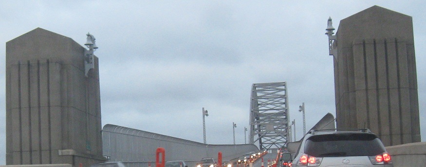
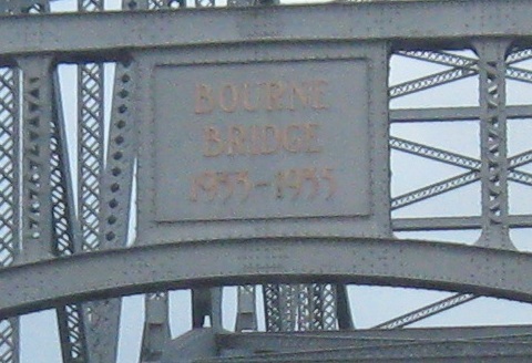
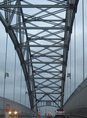
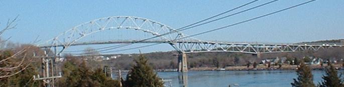
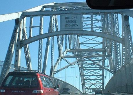
NB leaving Cape Cod across the Depression-era Bourne Bridge, built at the same time as the Cape Cod Canal by the US Army Corps of Engineers. That means this bridge is actually Federal property.
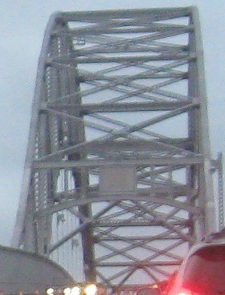
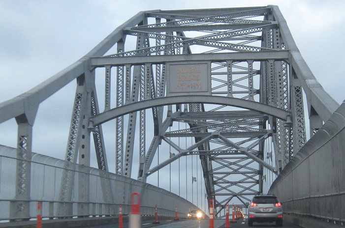
SB across the bridge, both in picture and video form. It replaced an older bridge from when the canal was much narrower, as did the sister Sagamore Bridge (US 6) to the east. Of the four bridge approaches (two bridges, two sides), one of them had something interesting to explore:
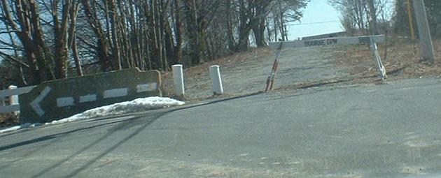
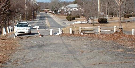
Walking south on Perry Ave. in Buzzards Bay to the old bridge approach.
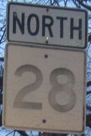
Looking northward on the obvious continuation from the bridge to Perry Ave. (then MA 28).
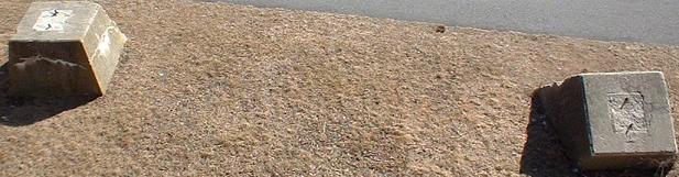
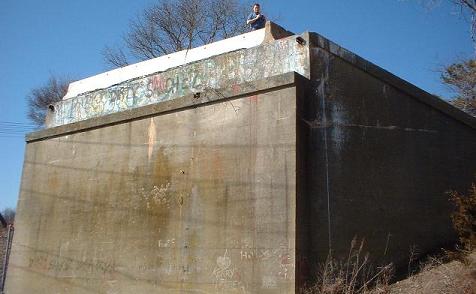
Structural remnants of the old bridge: two bridge piers and the old abutment. The riverside, where there was once a railroad, has been converted to a walking trail.
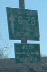
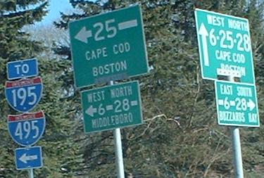
MA 28 SB meeting US 6 at the MA 25 interchange, and a split perspective from MA 28 SB/US 6 EB (left signs) and Depot St. NB (right signs); NB/WB are a block away. MA 25 used to end just west of here at Maple Springs Rd., until it was extended over the Bourne Bridge. The big 25 sign on the left of the second photo may date from that extension.
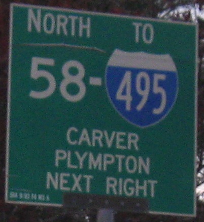
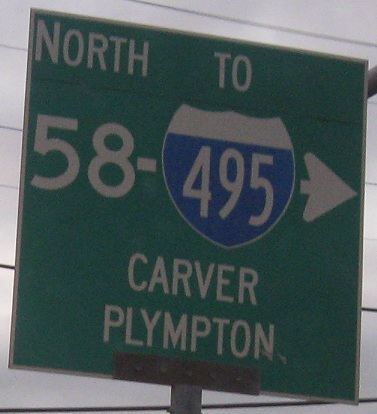
NB at the beginning of MA 58.
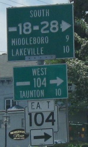
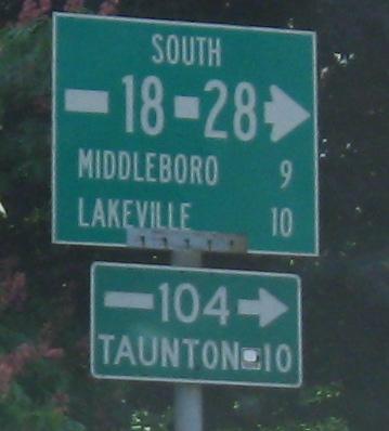
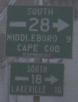
MA 28 SB in Central Square, Bridgewater, picking up MA 18 as well. Summer St. was slightly rejiggered to be 1-way NB for just one block, but it's enough to prevent 28 SB traffic from heading straight on MA 104 EB, and instead it has to go all the way around the square. The second photo is Church St. EB, and the third photo is at Bedford St. as MA 18/28 exit the Central Square area.
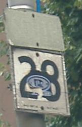
A pair of CT 28 shields invade Brockton.
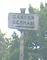
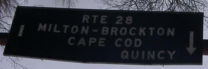
SB in Randolph, where the arrow sign may be old but it's positively modern compared to the first sign. We're talking a very very tiny embossed cast-iron sign at Canton St., and if you're looking for roads that go to Dedham from Randolph, you're talking MA 128. As far as I can tell, old 128 followed Blue Hill Drive from the Greenlodge section of Dedham, then Green Lodge St., and then a no-longer-existent road across the Ponkapoag Golf Course to Canton St. This is of course conjecture, but it would explain this old sign. At the very least, even if this wasn't the pre-freeway routing of 128, Canton St. had to have had a spur through the golf course in order to get traffic to Dedham. Your thoughts welcomed.
SB at Centre St. and then at Randolph Ave. in Milton.
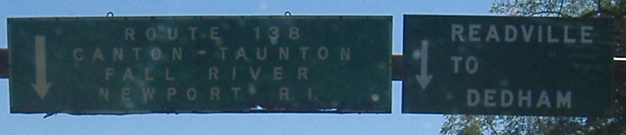
The left sign flipped upside-down, so I unflipped it for you. The assembly is on MA 28 SB at MA 138 SB. The sharper right, toward where the button copy points you, once led toward I-95, except, see, I-95 was never built past MA 128, so Mass. D. P. W. had to remove those letters.
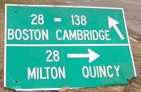
Wooden sign face-down in the intersection that I temporarily rescued. It should die anyway, since MA 138 now ends here.
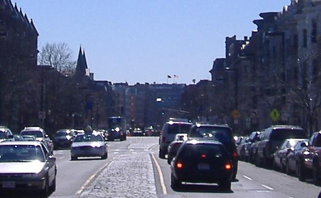
A look down Columbus St. in Boston, southward along MA 28.
Clarendon St. SB before Columbus St. and a matching one on Beacon St. WB where MA 28 SB jogs left off of Storrow Drive before turning south through the streets of Boston. Apparently old signs on Beacon Street get forgotten easily. Click on the first sign for a closeup that gets over the fence.
 , Cape Cod to Boston