Massachusetts Roads - MA 28 - N. of Boston
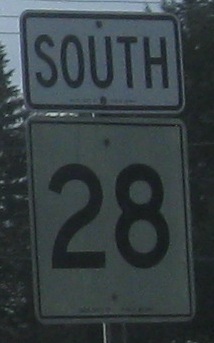 north of Boston
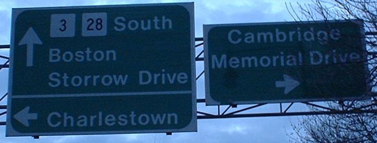
Just north of the Charles River Dam drawbridge, where MA 28 meets MA 3 EB and both Land Blvd. and the Gilmore Bridge. Notice I didn't mention Memorial Drive. That's because, unlike the MDC, I'm correct. To their credit, at least the MDC correctly signs 3 SB.
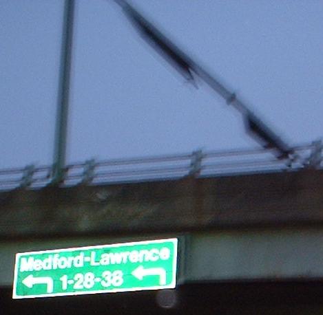
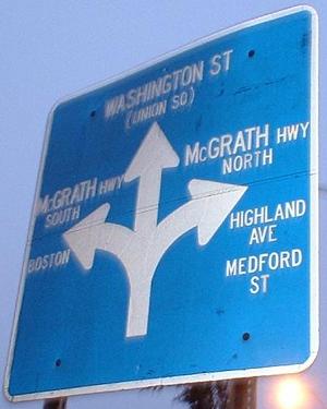
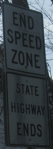
EB on Washington Street at MA 28. If you follow 28 to MA 38, you in fact will come quite close to I-93... but not US 1. The signs don't look like either MassHighway or MDC, so I'm stumped as to where they came from (Chris Commans postulates that they're cheap MDC replacements for earlier signs, which wouldn't surprise me). It's also puzzling where drivers are intended to find 1, though by Chris' theory the "1" reference is copied from way back when US 1 actually came up through Boston and Somerville. Since when does the MDC copy old legends? (Of US 1, no less.) Continuing eastward to Sullivan Square and MA 99 (former US 1 way back - at least I think - before 1 followed 28 from MA 16) would be a much better idea.
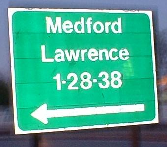
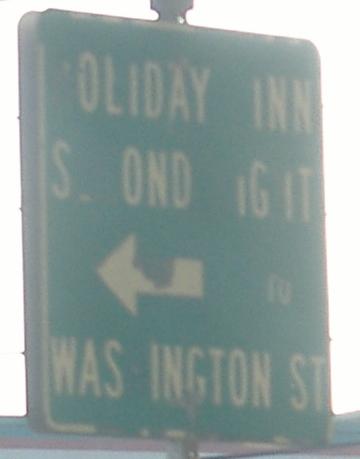
WB at the same MA 28 intersection. I'm not sure when this sign came from, but back in the 1960's there were a few experiments with blue, Euro-style signs. This seems newer than that, though, the same age as one in Davis Square.
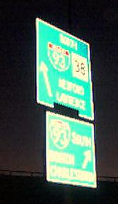
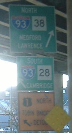
Following MA 28 northward from the Leverett Circle to MA 38 takes you to these signs (28 runs near I-93, so it happens to intersect 38 at 93). Note the 3di-width shield on the LGS's. The first sign is on the NB ramp to 38, and the second is on the SB ramp to 38, which also serves traffic to I-93 as you see here.
An old business LGS on the aforementioned ramp from MA 28 SB.
Part of a consistently but incorrectly signed detour, here going the wrong way on MA 28 SB to get between MA 16 and MA 38.
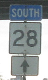
SB across the railroads in Somerville.

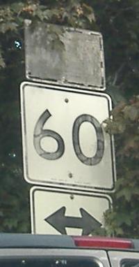
In the first photo, MA 28 NB bears left to join the Fellsway, and to the right is a shortcut to MA 60 EB. In the second photo, the Fellsway meets MA 28; MA 28 SB is to the left, and the Fellsway runs to the right.
Bearing left above, you come to this old sign a block later.
All remaining photos are SB, starting in Methuen at Gaythorne Rd.
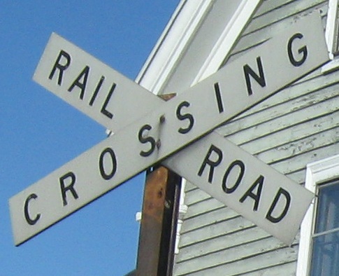
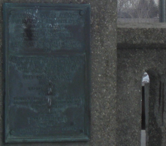
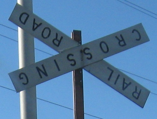
Down into Lawrence, with a Federal Works Agency plaque crossing the Merrimack River and a couple of old-style railroad crossings - or daorliar gnissorcs.
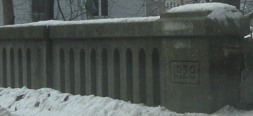
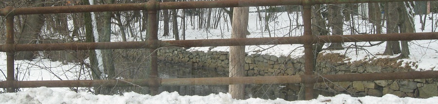
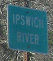
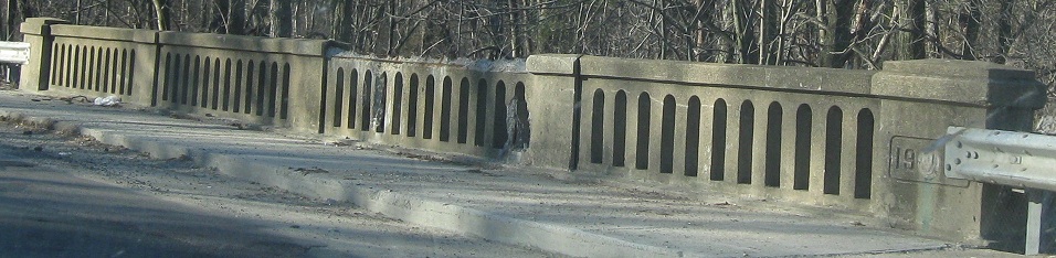
There's not much to the Shawsheen River, but the bridge is old.
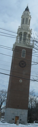
To the wealthy south side of Andover, which can afford random towers unconnected to churches.
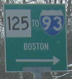
MA 125 has a strange interchange where the onramp from 125 merges into MA 28 SB before the offramp. The NB side is normal.
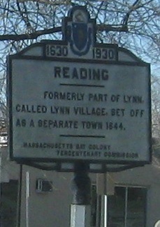
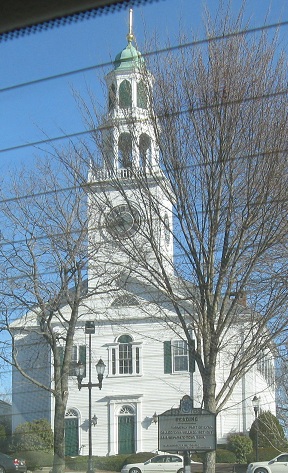
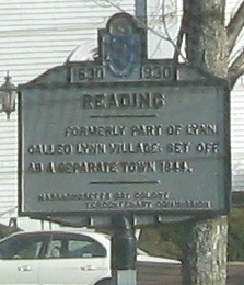
The last two photos look northward at the Old South United Methodist Church and the old (1930) sign in front, but were taken backward while heading SB.
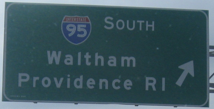
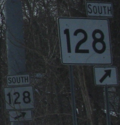
Massachusetts tried to remove MA 128 from its long, unnecessary concurrency with I-95, then realized it could never change decades of popular reference. The freeway-size shield is supposed to replace the older small one, not sit in front of it for laughs.
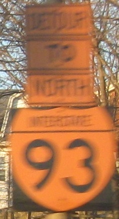
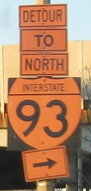
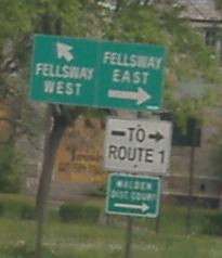
Signs get a bit dicey on the Fellsway alongside I-93.
South on MA 28/3: Leverett Circle, Embankment Rd., Charles St.
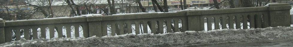
South on MA 28/3: Charles River Dam
Skip MA 3 and continue south on MA 28
Back to MA 28 main page
Into New Hampshire on 28
Onto MA 3 alone
To Memorial Drive
Onto the Gilmore Bridge
Into Cambridge
To US 1
Onto I-93
Onto MA 38
Onto MA 60
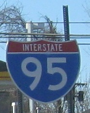
Onto I-95 and 95/MA 128
Onto MA 125
Back to Massachusetts Roads
Back to Roads