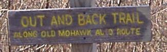
Massachusetts Roads - MA 2 - Old Mohawk Trail
Old Mohawk Trail
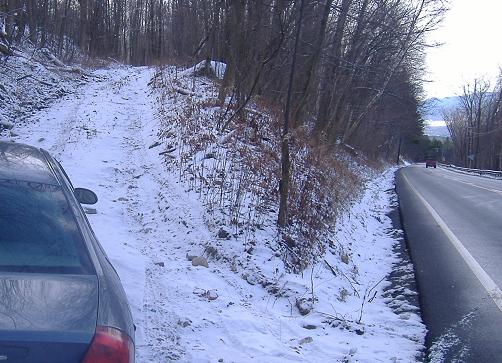
MA 2 has a nasty hairpin ascending from North Adams. It would be much worse if the original Mohawk Trail were still open, as it had three hairpins on it. The lowest hairpin is right before the hotel that now sits at the edge of the in-use hairpin, and is where the old alignment comes back in. It's also where one might see original pavement. Sadly, when I hiked the old alignment, I saw private property signs, and mistakenly turned left down a driveway instead of continuing straight, so I missed that concrete. Still, you get most of the old trail right here, and for a special treat I came back up the bottom of the trail for a little extra.
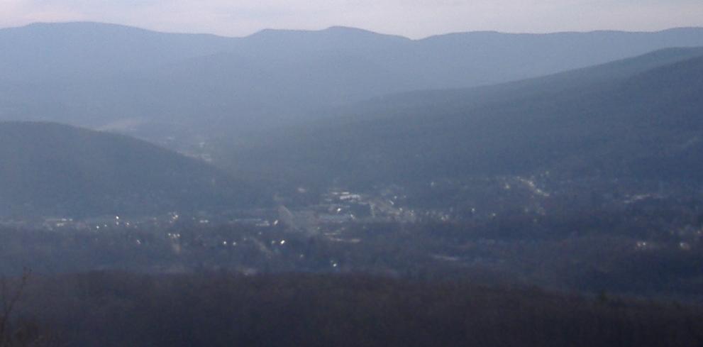
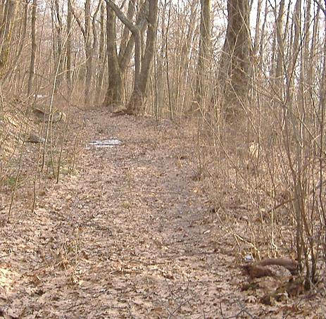
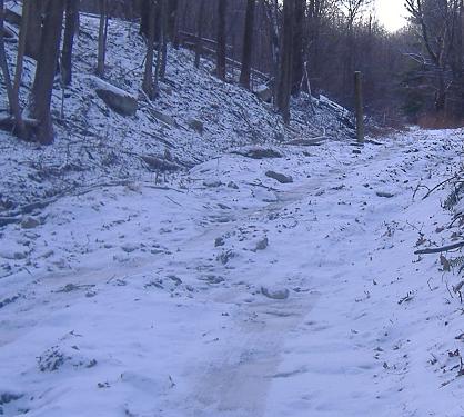
First, a view from the top...
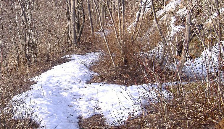
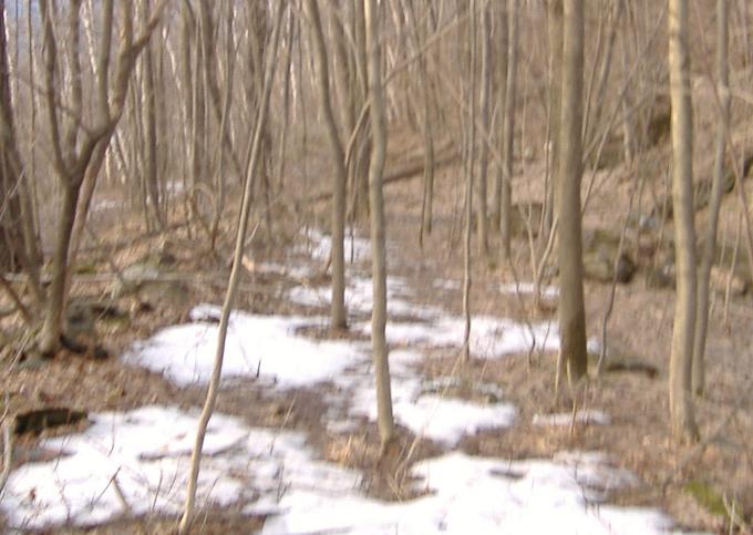
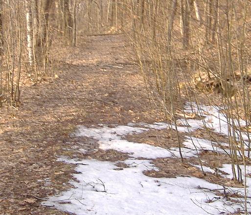
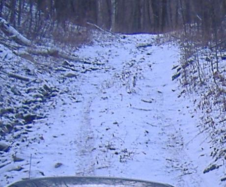
Heading down the trail, most of which is cut off by embankment for current MA 2 above. It soon strikes out on its own, don't worry. To get on the trail, one must duck behind a guiderail and go down a few steps. The gift shop owned by the people who own this trail was there before the realignment, so the curve atop the hill and in front of their shop is where the road originally curved. That's why MA 2 is lying practically on top of the trailhead.
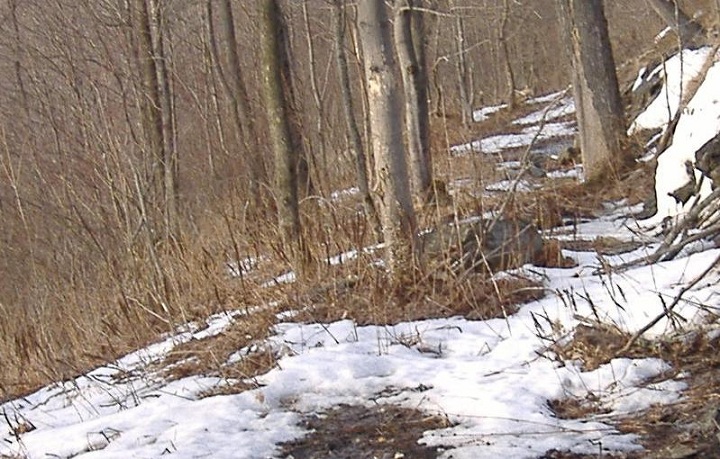
Our first look back up the trail.
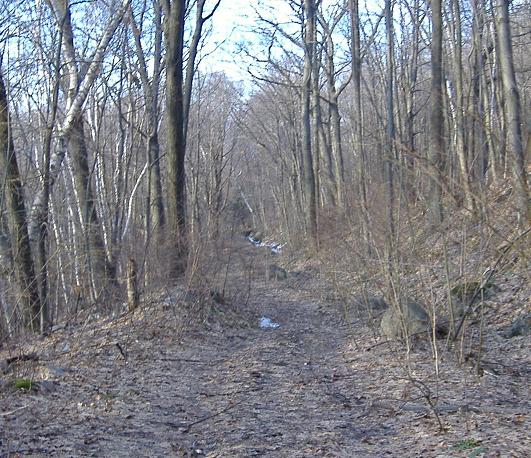
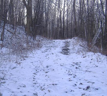
Now past the first hairpin, heading back southward.
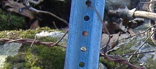
Barbed wire fence intersects a metal reflector. I get the feeling that this is original to when this was still used as an auto road.
Heading down to the second hairpin (visible in the last photo).
And a second look back up from there.
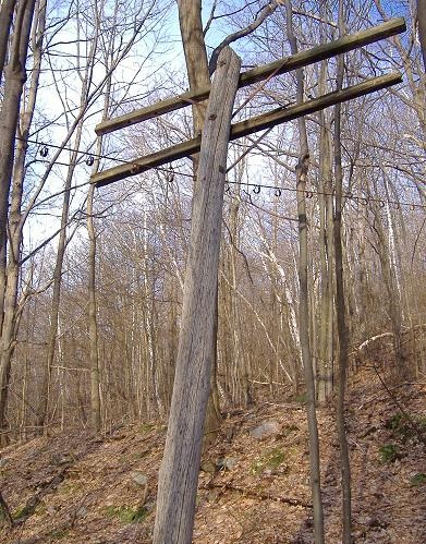
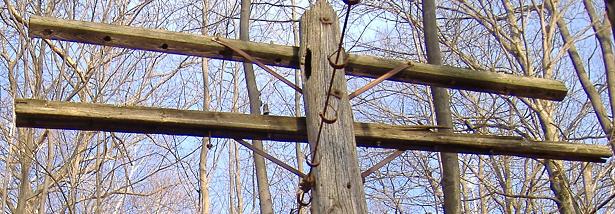
As you can see, the electric wires are now carried on new poles to the left (south) of the old ones, but the old ones march up the hill nonetheless, with their rusted loops to hold the wires.
Things get more interesting as we spy an original driveway entrance (those loops would have held a gate). Of course, once the road moved, there was no need to keep this end of the driveway up.
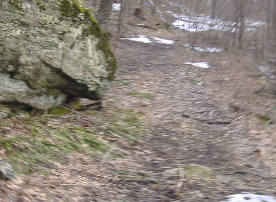
Continuing down.
And looking up once more.
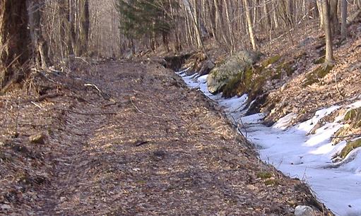
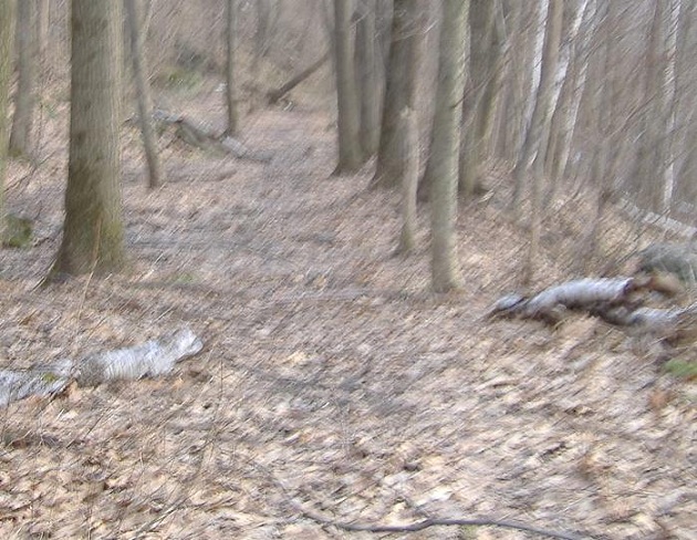
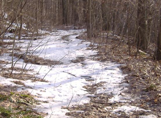
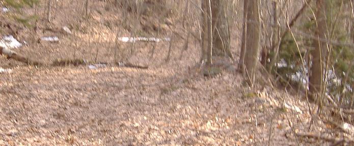
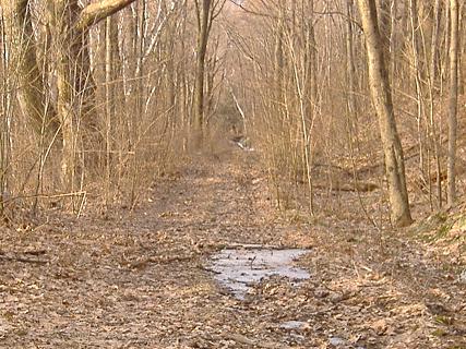
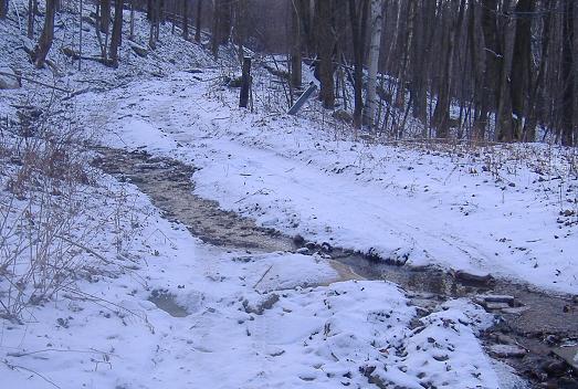
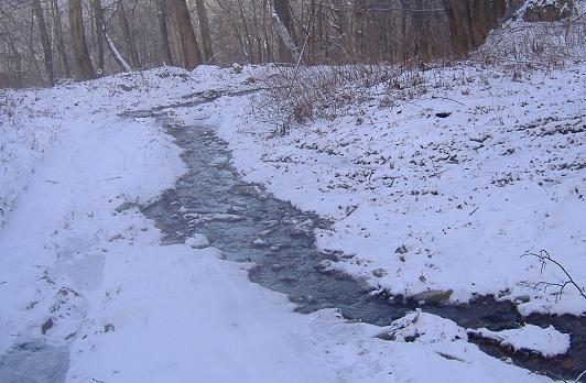
Continuing down, you can see there's now a stream at the side of the old trail.
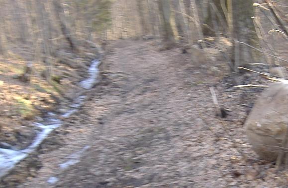
Two more looks up the trail.
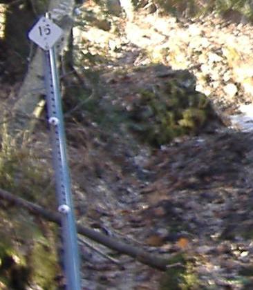
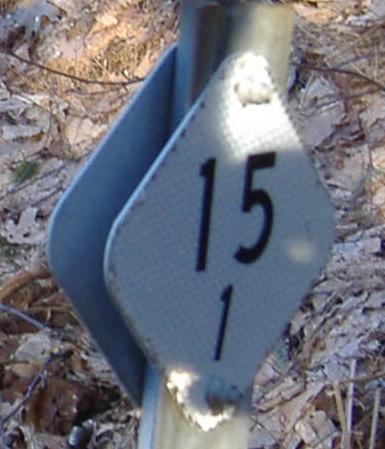
These milemarkers are an old Mass. DPW style. As you can see, it says 15 on the way down and 15.1 on the way up, which I gather to mean that coming up (downhill) is the 15.0 tenth of a mile, while the next tenth uphill is the 15.1 tenth. Or maybe the 1 is missing downhill. Anyway, I got really excited when I saw these, until I realized that these were in the driveway I accidentally turned in. So now I'm really puzzled as to why they were there.
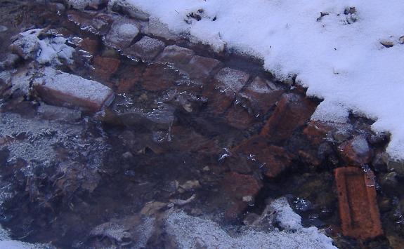
I had thought the bottom of the Old Mohawk Trail was paved with concrete. Even though I got there in winter with snow and ice on the ground, I was able to get down the pavement, and found... bricks! That must have been how the entire original trail was paved, and you can see what that looks like here.
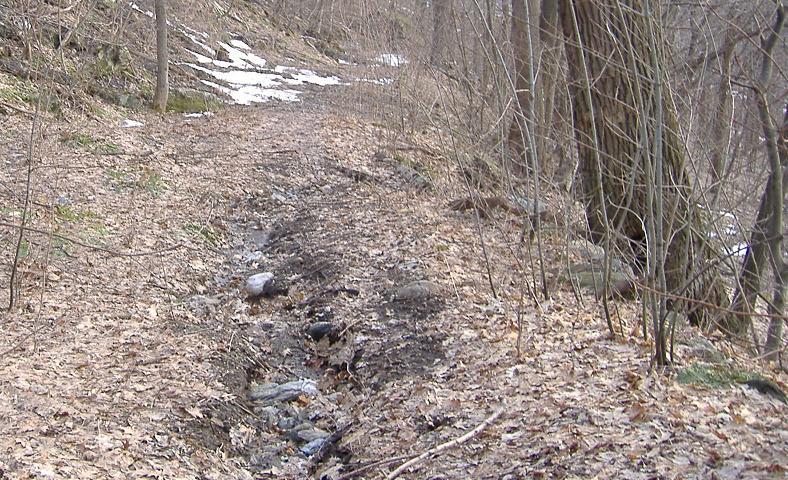
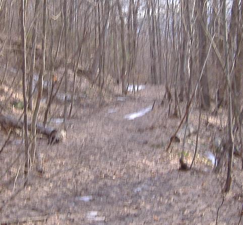
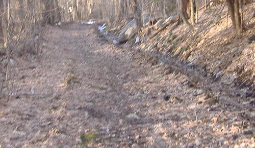
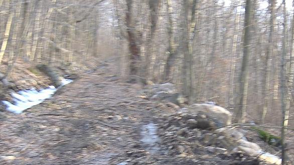
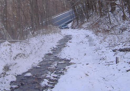
Up the Mohawk Trail from MA 2 about a quarter of a mile below the current hairpin. Like further up the trail, a stream has taken over part of the roadbed here.

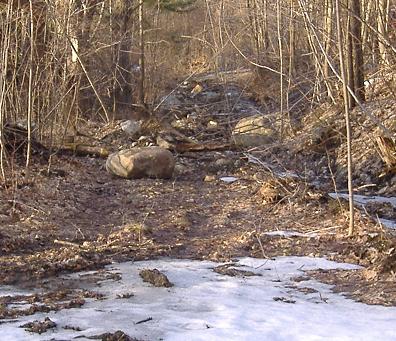
Turned around and heading back toward my Taurus. Luckily there was just enough room to park in the trailhead without sticking into traffic. This would have been one NASTY hill to climb, especially after negotiating a 5-MPH hairpin.
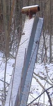
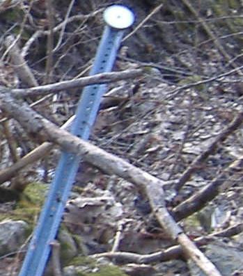
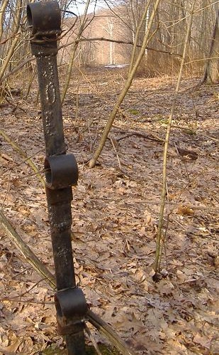
The first of the goodies I saw along the way, an original guiderail post with cable holder.
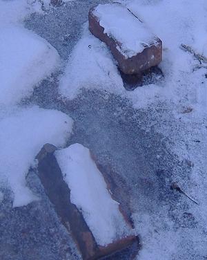
The other goodies - original bricks from the originally paved auto trail, way back before even my grandparents were born. As you can see, they're loose from the ground, so come get your souvenir while they last!
Onto current MA 2 west of Orange
Back to MA 2 main page
See more of Berkshire County
Back to Massachusetts Roads
Back to Roads