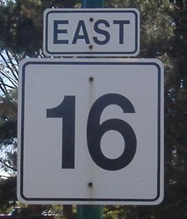
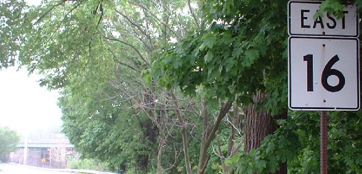
Massachusetts Roads - MA 16 EB
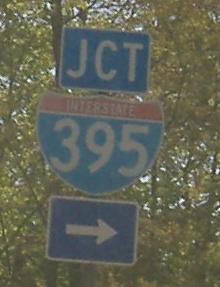
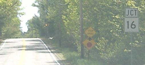
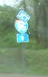
Right at the beginning of MA 16. The JCT banner is misleading; traffic looking for I-395 North needs to continue underneath 395, so JCT should be replaced with SOUTH.
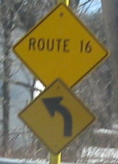
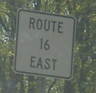
These strange signs are intended to provide reassurance due to the presence of a campground to the east...
...but the white sign is west of the entrance and thus no one will see it. Honestly, if you don't know you're on Route 16 without these superfluous and hilarious signs, you shouldn't be driving.
If you're on the route, you can't junction it. How many times (and to how many DOTs) do I need to say this?
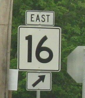
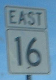
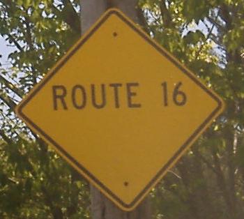
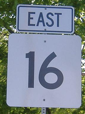
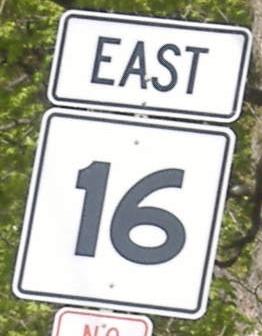
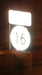
Larger numerals are easier to read, but uglier. MA 16 leaves NE Main St. in East Douglas onto Davis St.
Old sign at Blackstone St. in Uxbridge that dates from when MA used arrows on all of its diamonds, and old white sign in Mendon.
Newer sign (narrow shield) and older sign that's now redundant. The newer sign is at a channelized right turn, while the older sign is on the far side of the intersection. By the time you look past the first sign to see the second one, you'll have passed the turn, so they should move the older sign to where the new one is, and scrap the new one. Nah, maybe they could save the 495 shield.
One more old white sign.
Passing through the town of Wellesley, the first photo sports oversized numerals and a directional street sign, while the second has some old-style Y-support signage.
 Just after the Newton-Wellesley border, with old font.
First no border, then no font control, on either side of Beacon St.
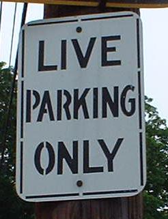
Zombies Go Home. Or, no parking here for weeks on end.
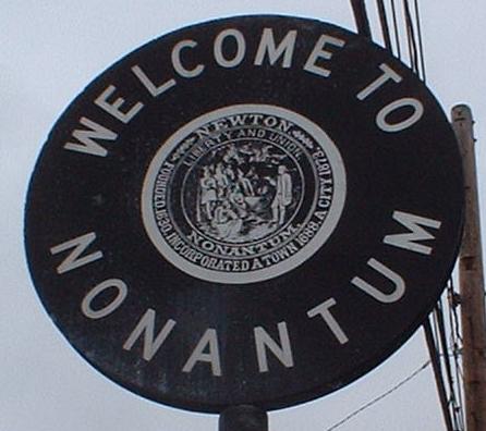
There are new ugly green signs for this village on either side of the road, but I love the old black one, EB only.
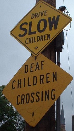
Drive Slow Children... To Their Demise? To New York? Faster? Just west of I-90.
The advance sign for the split at the rotary is clearly older than that right at the split.
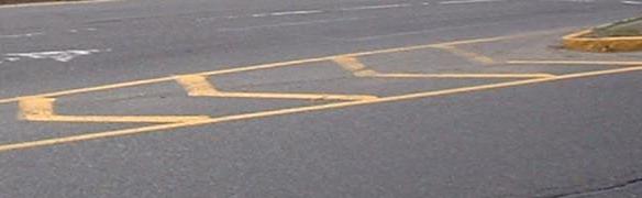
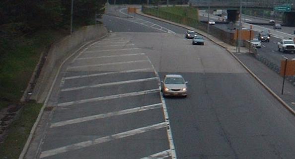
Stripes in the road leading up to the split should be white, since traffic on both sides of it is going the same way.
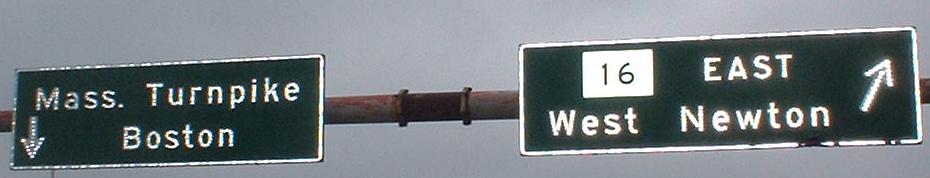
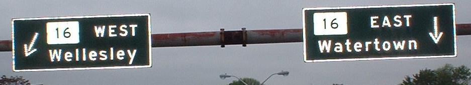
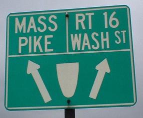
Through the eastbound half of the rotary above I-90 Exit 16. All the overhead signs are of the same age as those at I-90 Exit 17, both installed when the Turnpike was extended past I-95. In fact, the signs once found at Kneeland St. at I-93 and I-90 were also probably the same age. The last sign (on the right support of the second photo, meant for MA 16 EB coming out of the rotary) is a bit unsure of its font size, and should be both larger and some other color.
When in doubt, stencil it out! On the flip side of the left support in the next to last photo above.
Where the tollbooth was on the onramp to I-90 EB. It was kept even when Exit 14/15 was made the end of the ticketed system, and Exit 18/19/20 was turned into a barrier toll only, and then removed in 1997 practically overnight due to the cost of paying tollbooth attendants to collect 25 cent tolls. Probably it's because of the hasty nature of removal (designed to avoid legislature protest) that the concrete pad remains. Thanks to John F. Carr for this information.
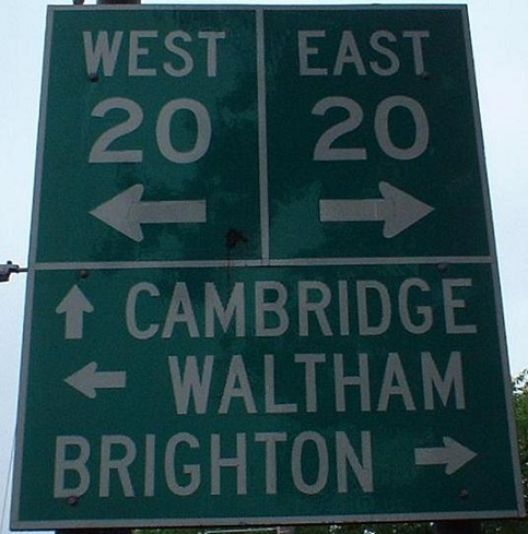
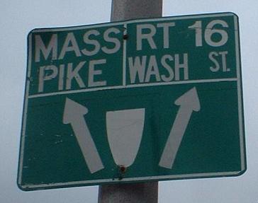
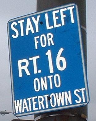
Watertown, at US 20. If this were real signage, it would have the arrows through the numbers.
 Bless my soul, NJ 16 seems to have migrated! But there is no NJ 16!
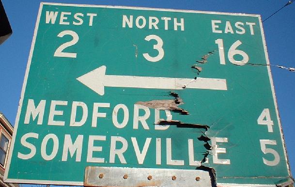
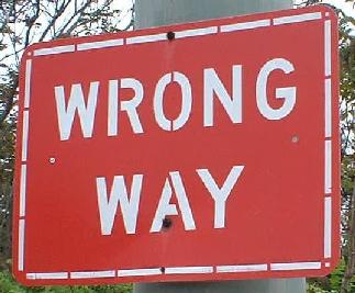
At the beginning of the US 3/MA 2/MA 16 wrong-way triplex, from which you can see photos by following the link at bottom.
The EB lanes (pardon the lack of direction on the sign) sink down to parallel I-93 SB for a little while before continuing eastward. Perhaps this is why MA 16 went to E-W from N-S. Somehow, I doubt it.
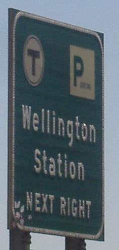
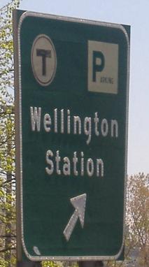
At the Orange Line T station, where button copy abounds! Click over to the westbound side (link below) for more, and to the main MA 16 page for photos from inside the station parking lot.
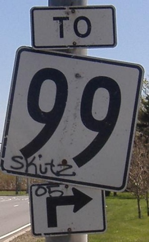
Wrong and wrong. The first should have much shorter numerals, and the second should have a different font. These are at a circle with the access road (conveniently also named Revere Beach Pkwy., just like 16 here) to the MA 99 rotary, with MA 16 cutting through the middle and then passing under MA 99.
The final MA 16 EB reassurance shield, which is in an odd location because traffic that sees this sign will be forced to merge with MA 1A and either follow that road north or MA 60 west.
Over to the WB side
East onto MA 16/US 3 (and MA 2)
Back to MA 16 main page
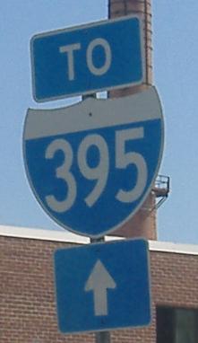
Onto I-395
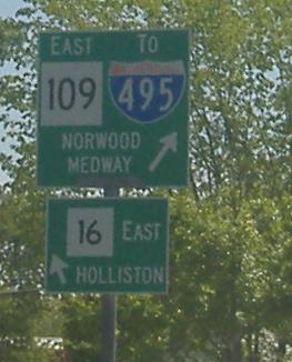
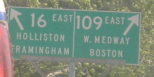
Onto MA 109
To I-495
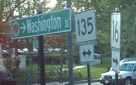
Onto MA 135
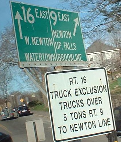
Onto MA 9
Onto I-95
Onto I-90, the Mass. Pike
Onto US 20
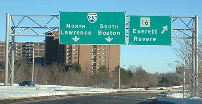
Onto I-93
Onto MA 99
Back to Massachusetts Roads
Back to Roads