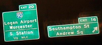
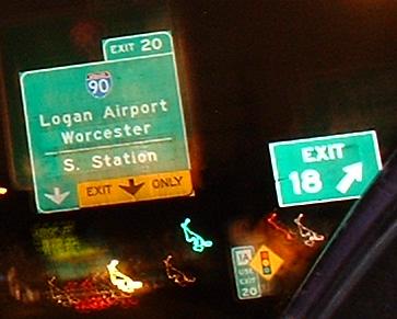
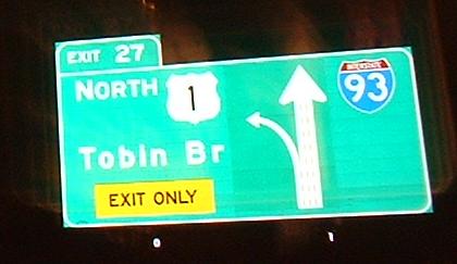
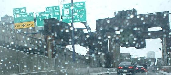
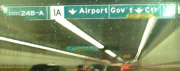
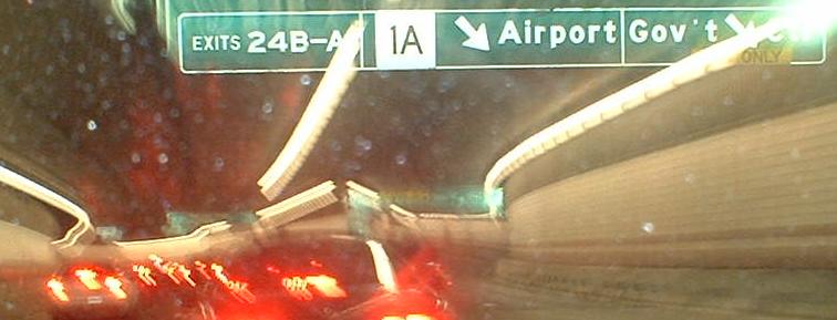
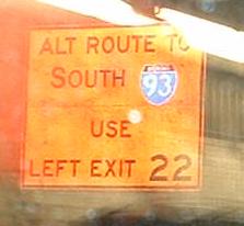
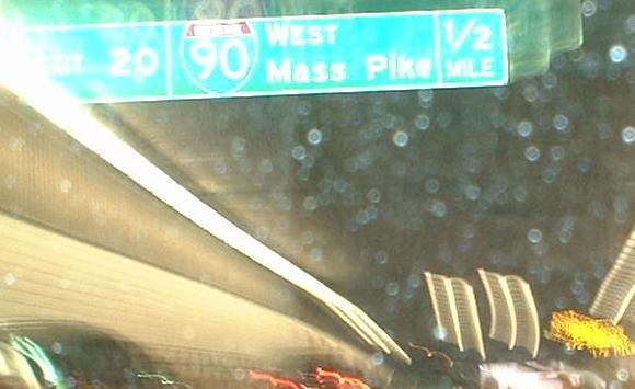
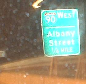
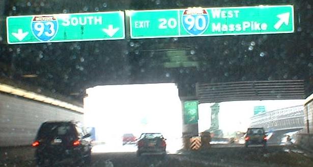
Signage on I-93 approaching Exit 20. Notice in the background of the third picture that Exit 20 is signed for MA 1A - this makes more sense than going way up to the Callahan Tunnel. And yes, that's button copy in the second photo.
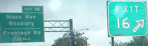
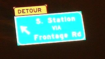
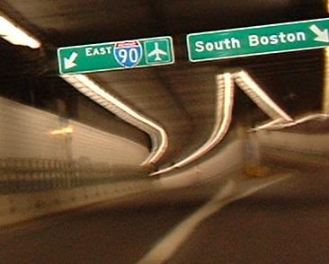
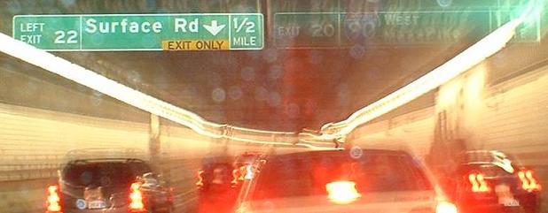
Eventually, the frontage road comes down and the South Station exit will leave further up the I-90 EB ramp and come out at the beginning of the Surface Artery. Note the uneven split, as well as the low clearance to I-90 EB - WB traffic has a new high-speed connection and is clearly favored.
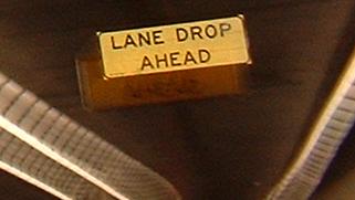
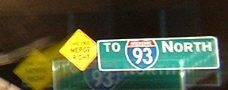
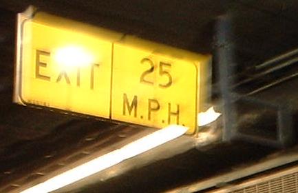
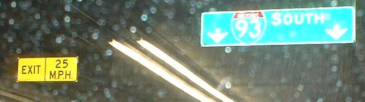
This is Exit 25 off the mainline I-90, but since the NB-EB ramp hasn't merged in yet, it has its own split. The LANE DROP sign doesn't make as much sense as EXIT ONLY would.
Coming WB from the surface at I-90's Exit 25, you face the same problem in that the WB-NB ramp has already left the mainline, so the onramp splits for you.
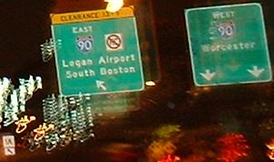
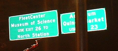
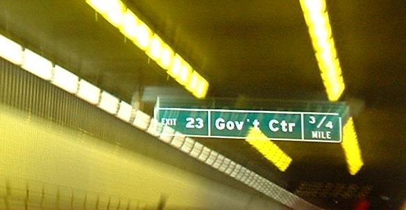
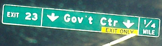
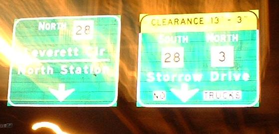
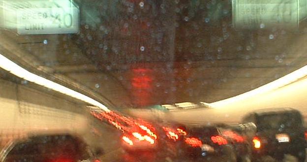
Back on the mainline, south of the bulk of Exit 20, getting advance warning that there are only two Dig exits now. The Exit 23 destinations are Aquarium and Quincy Market.
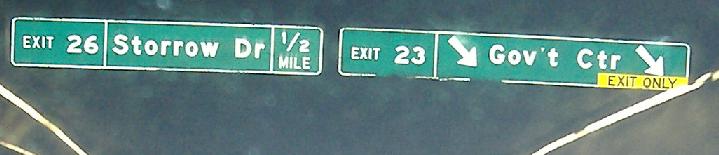
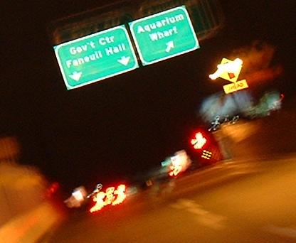
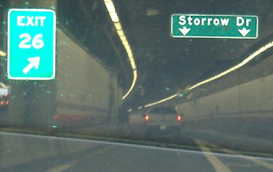
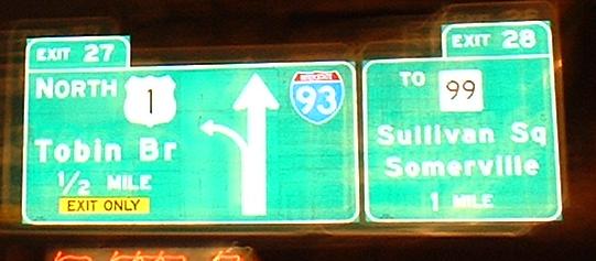
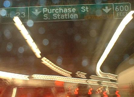
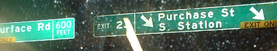
The progression of signs up and out the exit. No street names, just destinations, as the MUTCD now hates street names for some reason. On the right is an upside-down traffic signal sign, just like one on Charles St. (follow Exit 26 link at bottom). I have to believe it's the same contractor.
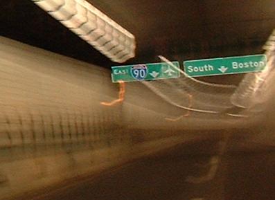
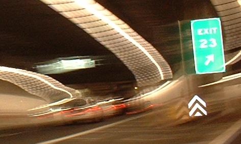
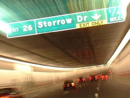
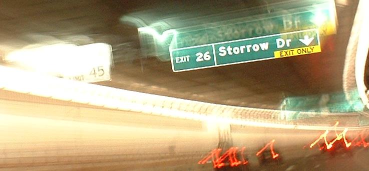
As you can see, there's a ton of signage in the tunnel - and this is missing another sign that tells you to keep going for US 1. Finally, mainline signage seems to acknowledge that there are three routes following it, not just one.
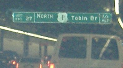
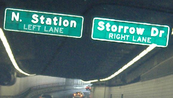
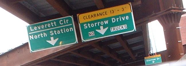
All on Exit 26. Finally, the Leverett Circle is recognized from Exit 26! It's not just "Cambridge" anymore! Of course, the fact that traffic to I-93 is no longer above traffic leaving 93 helps in that signs can be more than one line now. Also note impeccable signage of both routes.
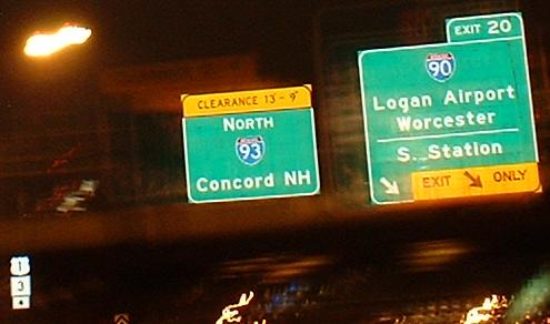
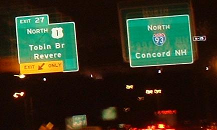
Back above ground. Concord's a bit far, considering that there are larger cities between Boston and there.
The last of the new Dig signs.Southbound
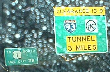
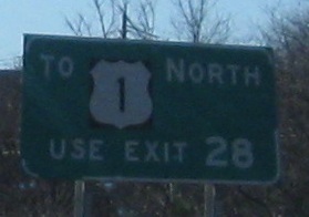
This sign, as you can see, is about 3 miles north of Boston, and is the northernmost of the new SB signage. The old sign soldiers in in less than perfect condition behind it.
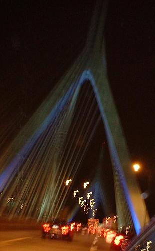
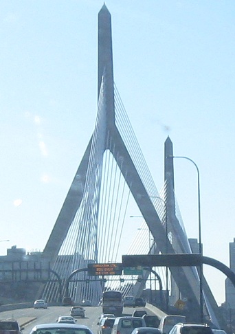
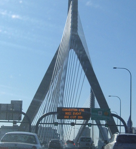
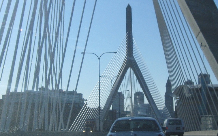
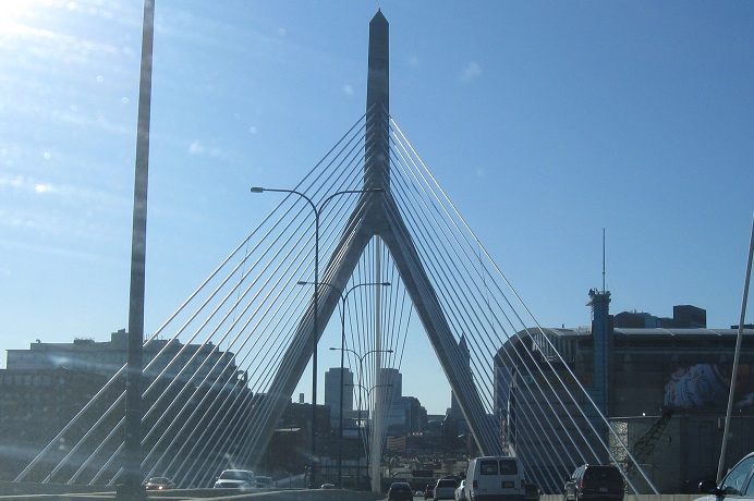
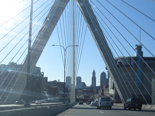
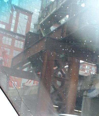
It took me until 2011 to get a reasonable set of photos on the bridge.
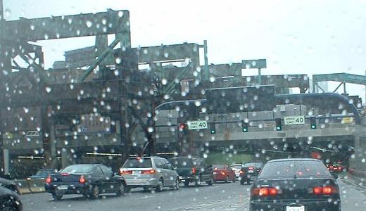
Entering I-93 SB from the new Leverett Circle ramp, which tunnels underneath the site of the old ramps but must emerge to join the highway. The ramp itself is MA 3 SB. The girders and other tall metal things left here are some of the final remnants of the elevated Central Artery.
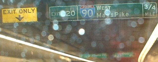
Almost done with the tunnel, but I just want to point out two things. For one, note that only one BGS separate Mass from Pike (fourth picture from the end and the next one to follow both have MassPike, which sounds more like a business than a road). Secondly, you can see a merge in the last photo, but that merge, and the offramp immediately before it, are both coned off without any advance signage. Either these ramps only saw temporary use during various phases of construction, or they'll be marked and opened when all is said and done. Anyway, for some reason I-93 SB shrinks to two lanes in this area, which is unfortunate because the old Artery was clogged enough with three SB lanes.
Finishing up the new SB signage; the first pic, just to remind you, sports "MassPike", but it also demonstrates the yellowish transition lighting that helps drivers get adjusted to entering and exiting the tunnel. You can tell because the photo came out well.