Massachusetts Roads - I-90 - West of Exits 14/15
I-90 west of I-95/MA 128
(Exits 14/15)
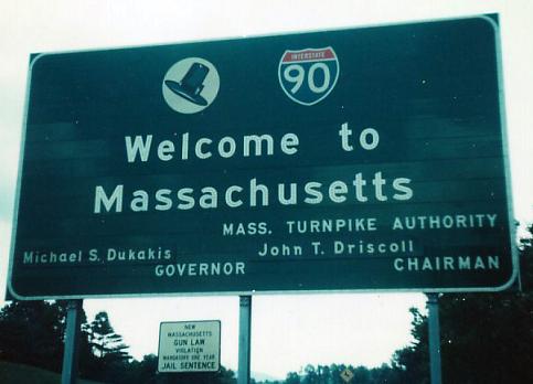
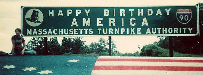
Courtesy Michael Summa, heading east into the state in the nation's bicentennial year. Check out the oversized button copy and state-name shield above the floral display (along with pouty 70's lady). Both were on their way out by then.


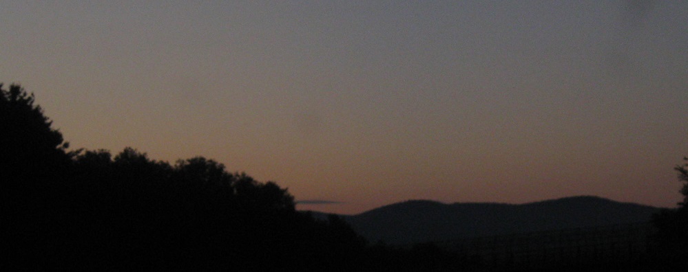


Continuing east, with the sun rising over the Berkshires.

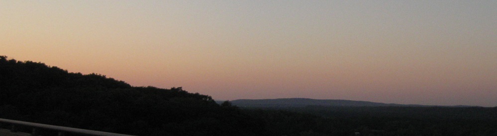
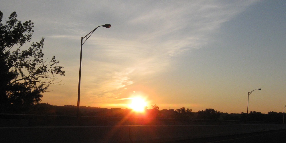
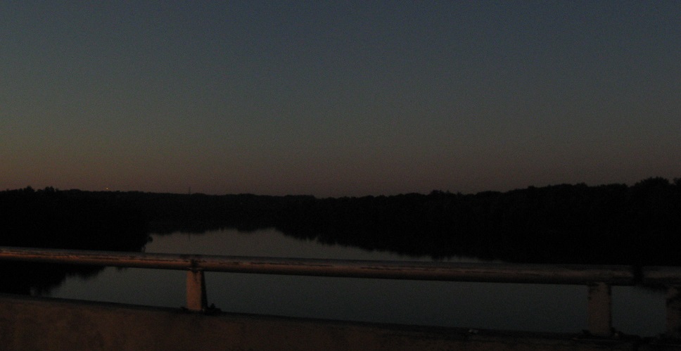
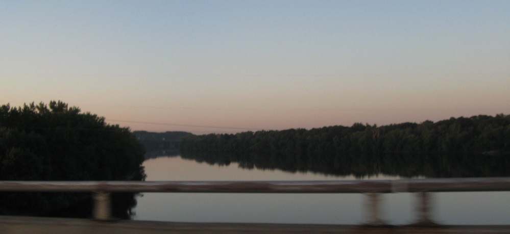
I resume photography around Blandford, cross the Westfield River, and then the sun finally makes an appearance over the Connecticut River to the north, letting me explore exposure settings to the south.
Dan Vincent found this sign on Montgomery St., at I-90 Exit 5, and donated it to this site. He believes it dates from the 1960's (minus shield replacements), which is when the interchange with MA 33 was given a western leg to Montgomery. I believe it's southbound, because I've already been on Montgomery northbound.
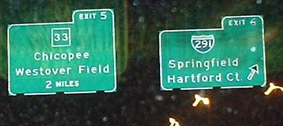
WB; unique in MA. The outlines are pure CT-style, and the sign's in great condition, so I'm stymied as to where this might have come from and when it was put up.
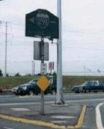
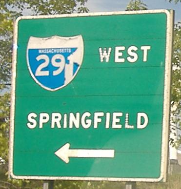
Really old signs on the Exit 6 offramp. The first, courtesy Doug Kerr, dates from the construction of I-291 - with the cut corners, it must be the early 1960's (the two-digit shield and the arrow through it are other clues). The second still stands across from the end of the ramp. That's all button copy, and it's likely just as old as the LGS.
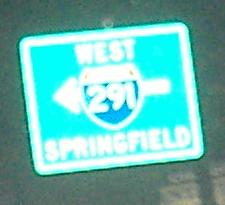
The replacement for the first sign above may not have cut corners, but it's otherwise completely faithful - 2-digit shield, arrow through the shield, and the destination in the same place.
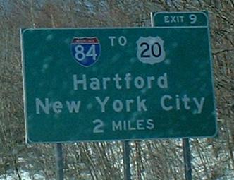
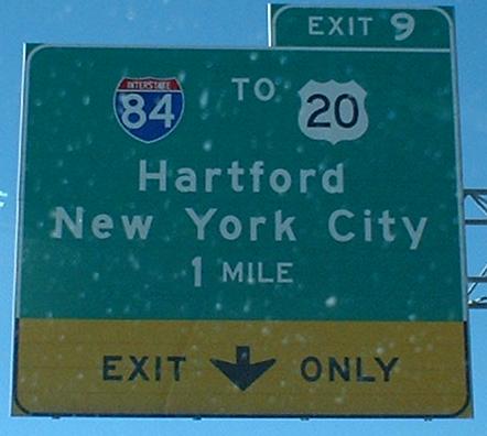
Heading WB, I-84 gets extra-special treatment with a 2-mile warning sign because so much traffic splits off to use it. Notice that New York City is used as a control city, even though you have to take a minimum of two other roads to get there (unless you simply follow the Wilbur Cross Highway into CT 15, all the way into the Hutchinson River Parkway, but that's not a very good route).
OK, maybe on signs like the one at Exit 46 on I-95, it makes sense to cut away some of the excess green, but this seems a little like overapplication of the rule on WB I-90.
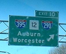
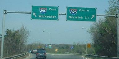
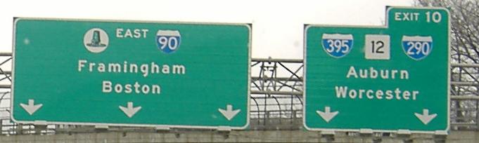
Still looking westbound, and then buton-copy shields peculiar to MA on the EB/WB exit ramp. I-395 and I-290 turn into each other directly underneath the Pike (see link below to I-290 folder for more detail). I don't get why I-290 is in B (narrow) font for all Exit 10 signs, while I-395 gets standard C font.
Turned eastbound, gotta love the old green hat (before they got lazy and made it black and blocky).
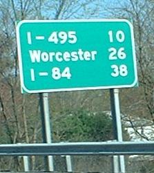
Interesting that Interstate highways are listed on mileage signs. You think Springfield might be a bit more important than I-495? I can at least see signing I-84, since that's where most cars are going (Hartford, New Haven, New York).
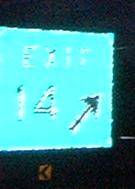 The first button-copy sign EB.
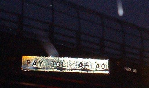
EB before the Exit 15 toll plaza - the Pike assigns exit numbers both to interchanges and to tollbooths. Exit 14 was the original end of the Mass. Pike at I-95, and Exit 15 is the new plaza that was built for EB and WB mainline traffic, as well as for WB exiting traffic to I-95 and MA 30. There's a barrier toll at Exit 19, and that's the only other one to the east. You can see in this and other pictures below that I-90 uses white-on-black rectangles for overhead street signage, instead of rounded-corner green on white.

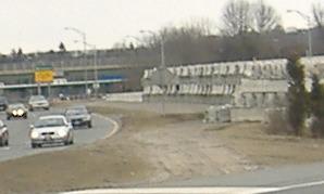
The above sign is on the overpass that carries traffic to Exit 14, and in the daytime, this is what you'd see to the left. Those Jersey barriers are being stored on the original eastbound lanes of I-90, which are of course just a few feet south of the original westbound lanes, now the onramp from Exit 14 (I-95, MA 30).
West into New York
East to between Exits 14/15 and 18/19/20
The former end of the Mass. Pike at MA 102
Back to I-90 main page
Exit 5 to MA 33
Exit 6 to I-291
Exit 9 to I-84
Exit 9 to US 20
Exit 10 to I-290
Exit 10 to I-395
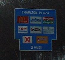
Exit 10 to MA 12
To I-495
More sunrise (and sunset) photos
Back to Massachusetts Roads
Back to Roads