Louisiana Roads - I-10, New Orleans

I-10, New Orleans


Aerial closeup of the highway traveling over the bayous west of New Orleans. The city begins to the right after the swamps stop being swampy. Until then, I-10 is up on miles of elevated roadway, or what you might call a "bridge."


Looking west from the elevated I-310 interchange, which you can see ending in the bottom right hand corner. There are a lot of man-made canals, railroads, and embankments crisscrossing much of Louisiana's bayous, so at least I-10 tries to take the high road by not sitting directly on them.


Looking east from above at the I-310 interchange elevated over the bayou and, as the plane heads south to the airport, looking north at a side view of the I-10 spans. Development begins right on the edge of the bayou, and it doesn't start slowly, either. The Duncan Canal separates urbanity (top right corner of the last photo) from open land.


Down at ground level, WB. I assume that Boutte and Houma were pasted over just plain Houma, because there's nothing special about Boutte besides being the southern terminus of I-310 (Houma is along US 90). Unfortunately, I think the "exit only" is Louisiana standard and not another mistaken patch.


Both taken EB.


EB under Causeway Blvd. at Exit 228, where there is heavy reconstruction to convert the existing cloverleaf into something that doesn't tie everyone up as badly. After trying to describe the new interchange in 3 pages or less, I've decided to provide you a graphic. Good luck, and many thanks to the Times-Picayune for supplying the following image that I composited:
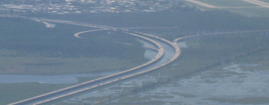
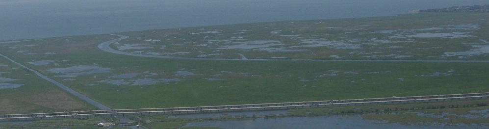
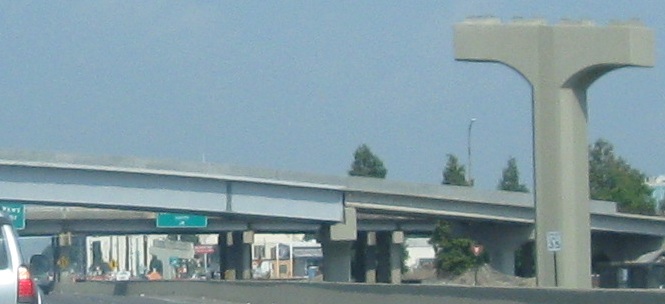
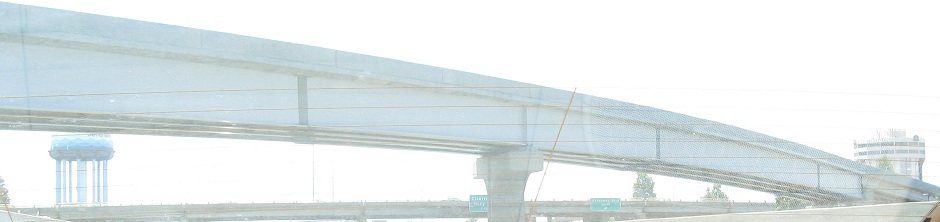
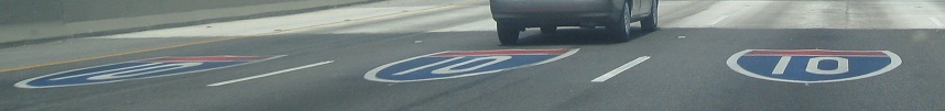
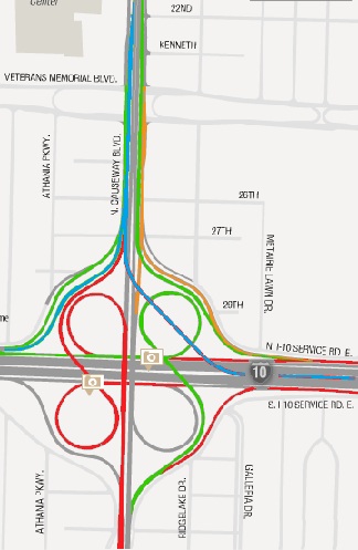
I-10 EB to either direction of Causeway Blvd. remains a normal loop. I-10 WB to Causeway SB is a normal loop (shown in red). I-10 WB to Causeway NB, in green, flies over the Causeway NB ramp to Veterans Blvd. (in orange), and there's a separate ramp (also in orange) to get I-10 WB traffic to Veterans. Causeway NB to I-10 EB is a normal ramp, and to I-10 WB is a variation on a typical loop ramp. By leaving the roadway south of the first loop, it eliminates the weave of a typical cloverleaf, at the expense of a separate overpass of I-10 to get to the loop. Causeway SB to I-10 is shown in blue. It flies up between Causeway Blvd. and the ramp from Veterans, splitting into a normal ramp to I-10 WB and a long flyover into the center of I-10 EB. While left-side merges are discouraged, there's just not much else that can be done here, and traffic will be coming in at a high speed off a straight downgrade. Finally, Veterans to I-10 WB is shown in green - it comes up next to the Causeway SB ramp and splits to the right, and Veterans to I-10 EB is shown in red - it crosses under the Causeway SB-I-10 WB ramp and does the same modified loop as the NB-WB ramp. It apparently was just too complex to combine the Causeway and Veterans ramps to I-10 WB into a single entity. Not shown here is Veterans to Causeway SB, which I assume is a slip ramp underneath the blue Causeway SB ramp.

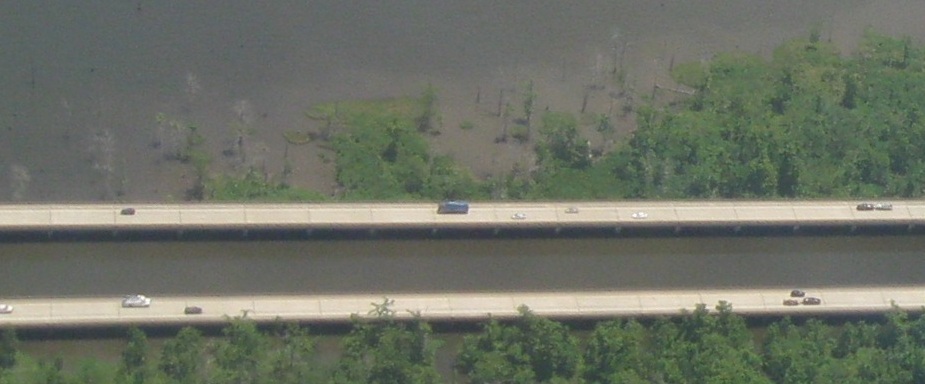
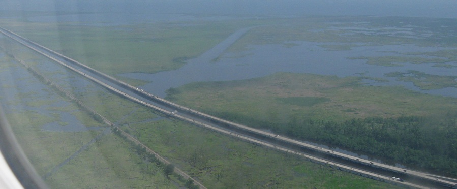
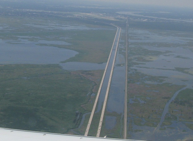
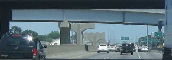
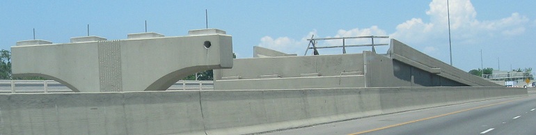
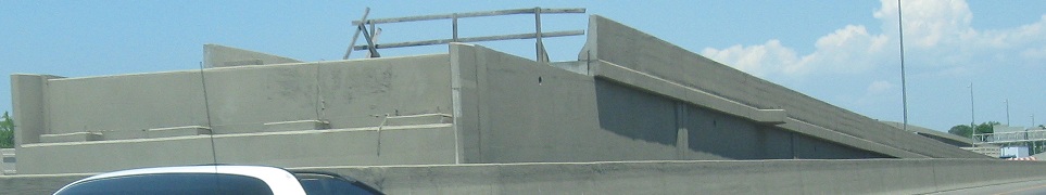
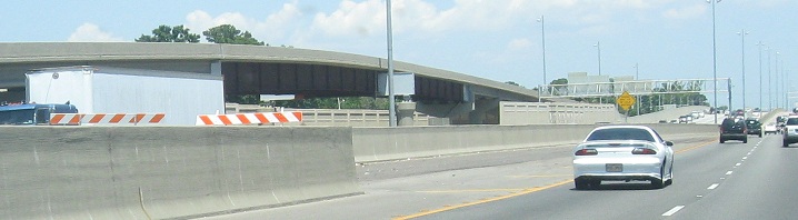
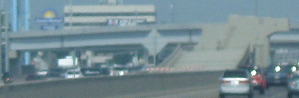
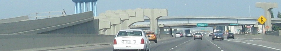
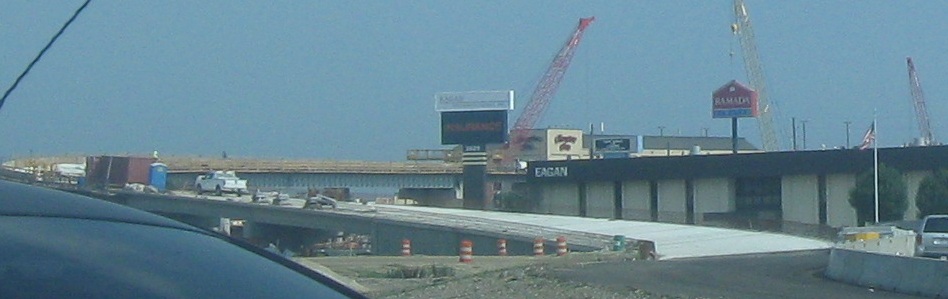
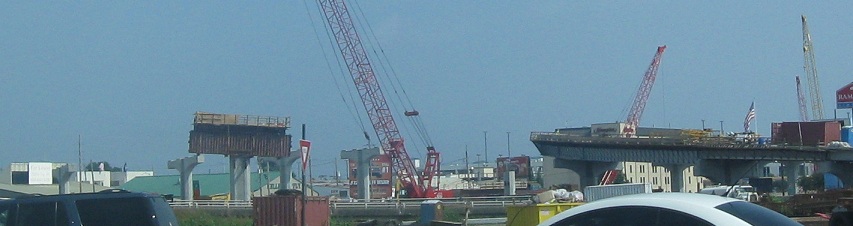
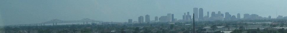
So, back to the photos. The first few photos show the Causeway SB-10 EB ramp touching down in the median. In the first photo, the blue ramp flying overhead is the Causeway NB-10 WB loop ramp (as I said, requires a separate overpass). In the fifth photo, as the center ramp merges in, there's a new ramp on the WB side taking Bonnabel Blvd. and frontage road traffic onto I-10. It's braided (I just defined it in my definitions, so read up) with the 10 WB Exit 226 ramp to Causeway due to the traffic volumes from 10 to Causeway.


Sorry, not done yet, I also went through in the westbound direction. You have a few photos approaching the Causeway SB-10 EB ramp, which will apparently have murderously large beams as it crosses the interchange (based on the size of the pier in the fourth photo). By the fifth photo, you see the NB-WB overpass that feeds into the loop ramp. I then look up the WB-NB ramp, where the ramp that flies on up to Causeway NB is still under construction while traffic uses the old ramp that will become the ramp to Veterans Blvd. only.


Still more! The first photo is one of the piers for the future SB-EB flyover ramp, the second photo looks north at the WB-NB ramp under construction (the one that goes all the way up to Causeway). There are a bunch of piers mixed in here - the ones pointing toward the photo are for Causeway SB-10 EB, and the ones pointing away are for Causeway SB-10 WB. Things get so amazingly complicated when you're working in a tightly packed urban area.


Finishing up the WB run; starting with another look at the NB-WB loop overpass, then up close and personal with a couple of the Causeway SB-10 WB piers. I promise you won't have any more Causeway construction photos.


Now that all that's out of the way, have a cramped, poorly done BGS. Take out the right two lanes of I-10 and everything would look fine.


Same interchange, other direction, but these pavement shields are used both EB and WB at I-610.


EB and WB at the 1960 bridge for the old Southern Railway, which became part of Norfolk Southern in 1982 (along with Norfolk & Western) and lost its identity in 1990. Can the airport sign be any smaller?


Eastbound from there into downtown, with the French Quarter just to the southeast. US 61 is Exit 232, the US 90 shields are perennially wrong in the New Orleans area, and although it's not all that easy to specify, Louisiana of all states should be able to get the 'é' instead of an 'e' with an apostrophe. The pavement shields are for Exit 234, which is really Business US 90 (but it also does lead to US 90 proper).


I-610 is over 30 years old, and these WB shields look the part. The first sign is the oddball, because it's new enough to use a 3-digit shield.


You can see a little of the Hurricane Katrina damage five years later traveling west into New Orleans over the Inner Harbor Navigational Canal. The palm trees are either there to replace trees that blew over or to hide the worst of the problems, but not only were the eastern wards hardest hit, they're also the poorest and thus the hardest to rebuild. That's why my next page to the east has many photos of the lingering effects of Katrina's damage. The drawbridge next to I-10 across the canal is US 90, Chef Menteur Highway. Thanks to just the one section of missing guiderail, you get a decent enough view of the bridge and canal together. Far beyond it, the uplifted truss section is a railroad bridge in front of Leon C. Simon Dr.


East on I-10 to Hurricane Katrina damage and the Lake Pontchartrain Twin Span Bridge
West on I-10 to Baton Rouge and west
Back to I-10 main page


Exit 220 to I-310
To the Huey Long Bridge
Onto Causeway Blvd.
Exit 230 or 238B to I-610
Onto US 61
Exit 234A to US 90
See more of New Orleans
Back to Louisiana Roads
Back to Roads