Louisiana Roads - I-10, Katrina damage/Twin Span Bridge
I-10, Hurricane Katrina damage and
Lake Pontchartrain Twin Span Bridge
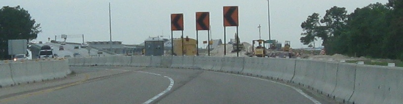
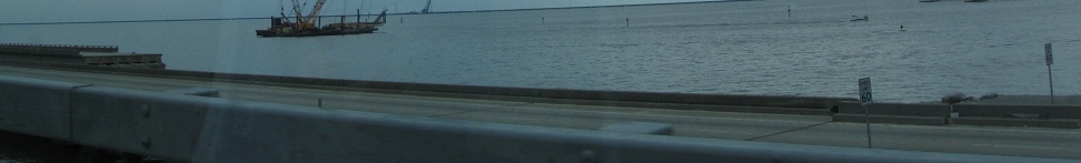
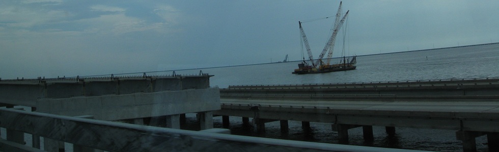
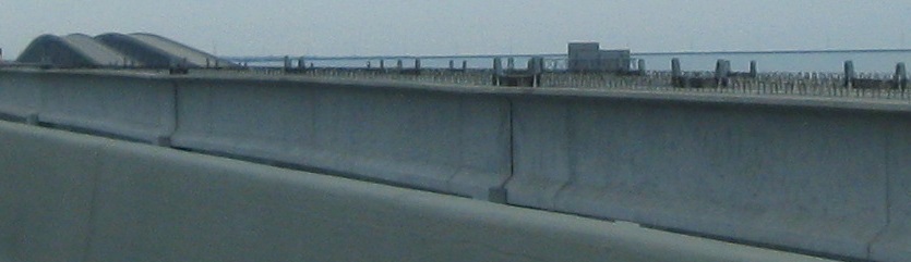
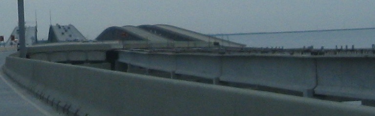
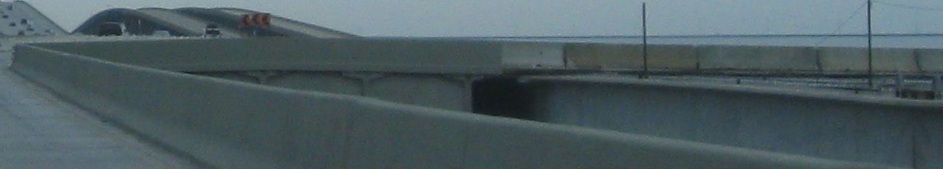
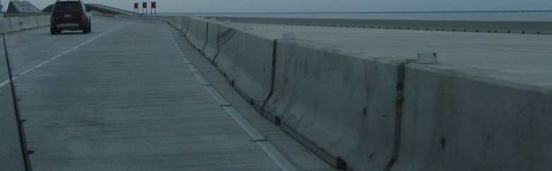
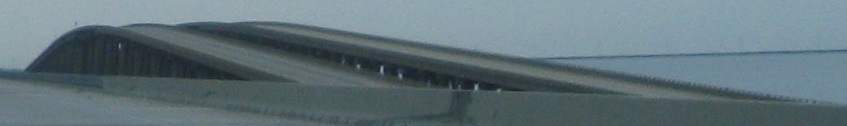
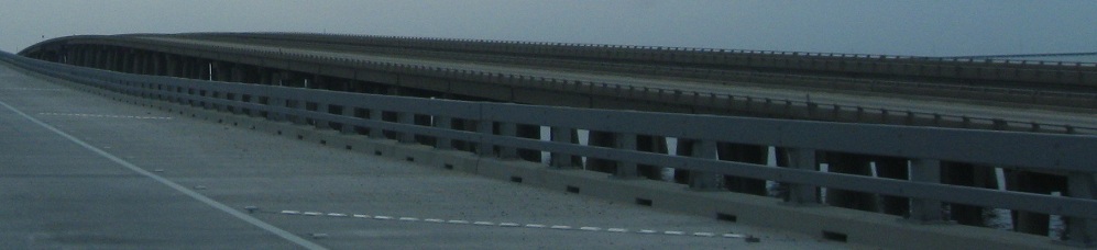
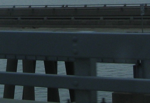
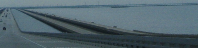
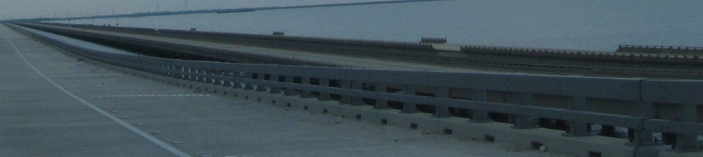
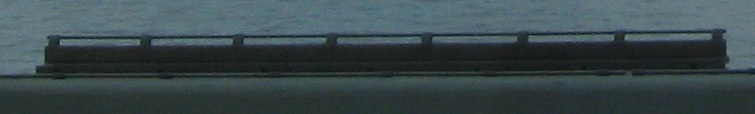
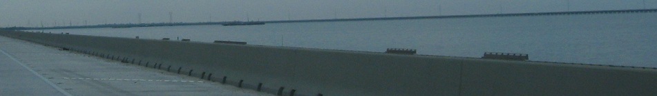
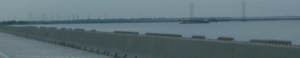
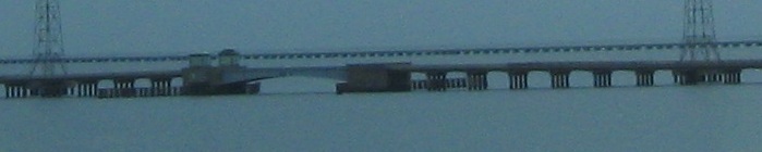
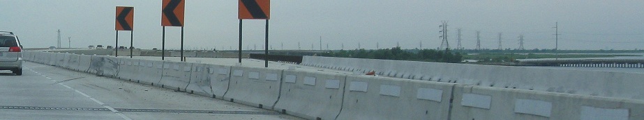
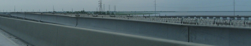
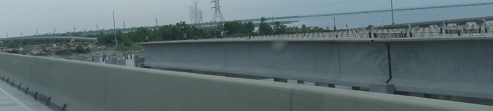
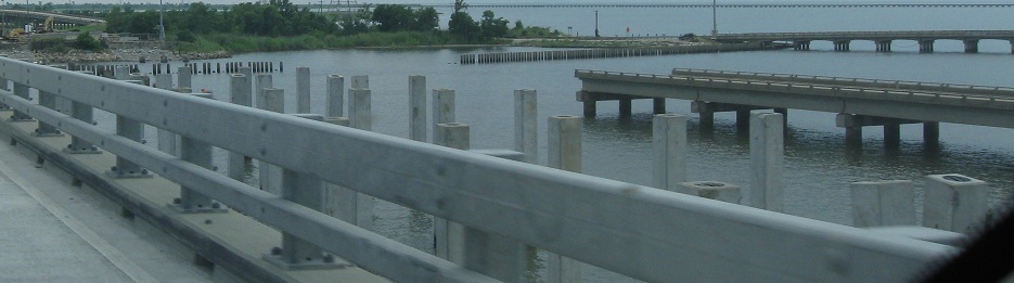
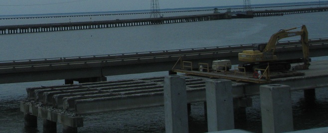
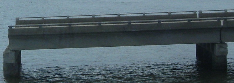
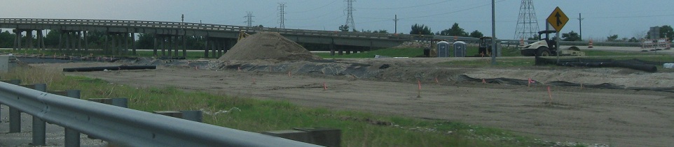
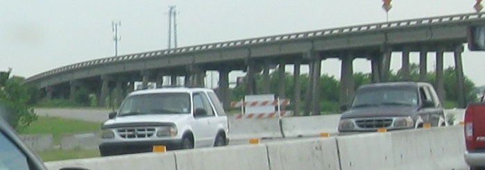
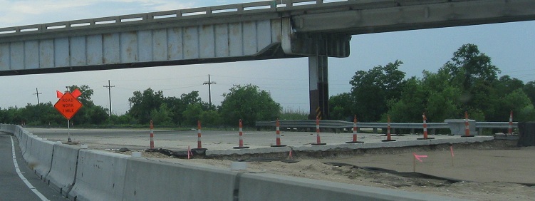
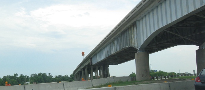
In a departure from tradition, I'm going to put all the captions up front and just let the photos roll down this page. The theme of this page is Hurricane Katrina. As my family and I headed west on I-10, we crossed Lake Pontchartrain on the Twin Span Bridge and entered the eastern wards of New Orleans. It's both remarkable and sad how long it is taking for Louisiana to rebuild - the infrastructure is mostly back in place, but the people may never be whole again. Crossing the bridge WB, the road swerves left to avoid a construction zone. The old highway continued straight, as you can see in the first photo with the twin humps in the background, but it's time for a new, wider bridge. Many of my Twin Span Bridge photos focus on the old bridge alongside the new one. After Hurricane Katrina, many of the bridge spans had been knocked out of alignment or toppled into the water. The best sections out of whatever could be salvaged were grouped into a single span (the former EB side) to restore at least one lane of traffic in each direction as quickly as possible. The EB span of the new bridge was built next to allow at least two lanes of traffic in either direction, and the old EB lanes became two WB lanes in the interim until enough of the new WB span could be built. In May 2010, most of the old bridge is still intact just to the west of the new one, and the new WB span is still not complete on either end pending further approach work so that it can be tied into the freeway properly. There are still plenty of signs posted on the old EB bridge as if it's still in service, and the remnants of the old WB bridge lurk just behind, many spans missing guiderail due to hurricane damage.
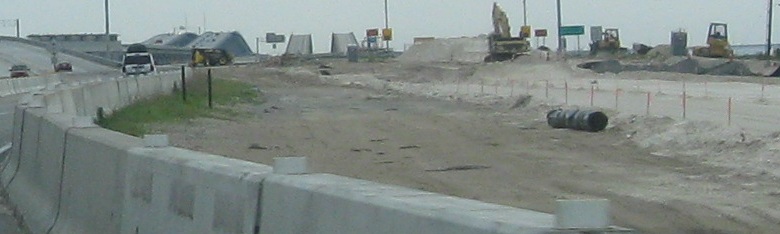
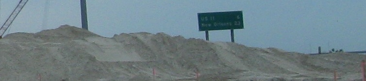
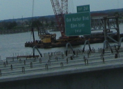
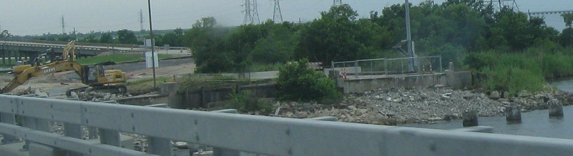
On the new bridge, there's a temporary connection in place to get WB traffic from the EB approach to the WB span and then back again on the other side. Well to the west but within visible range, US 11 follows railroad tracks on a longer path across the lake with a draw span (drawbridge) in the middle. They meet on the south shore at Exit 254 with an interchange that is under its own reconstruction to accept the future WB approach. As of May 2010, there are still plenty of remnants of the old roadway (including the bridge abutment and the interchange ramps) and much to be done for the new roadway. For now, there's no access from I-10 WB to US 11 SB or US 11 NB to either direction of I-10. As work continues on both WB approaches and the US 11 interchange, work also continues on slowly ripping apart the old bridges. It's easy to see how this process can take many more years still.
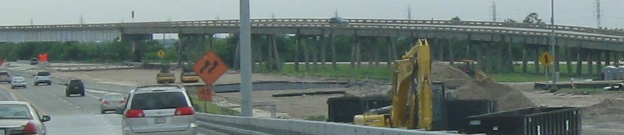
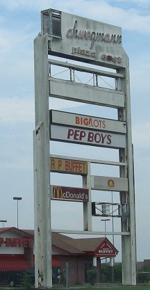
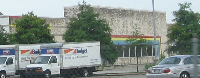
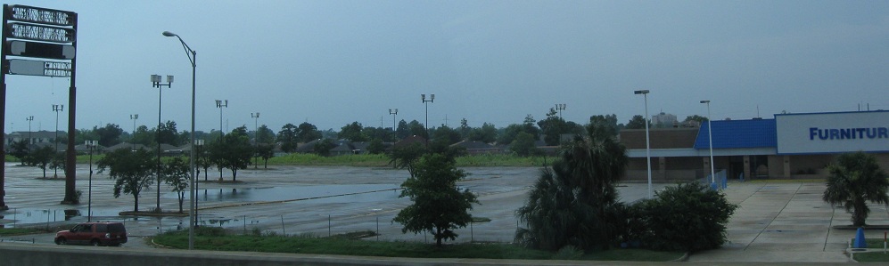
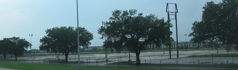
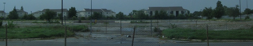
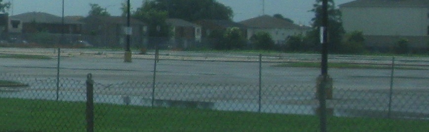
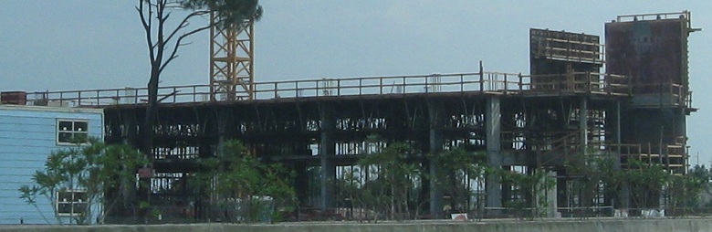
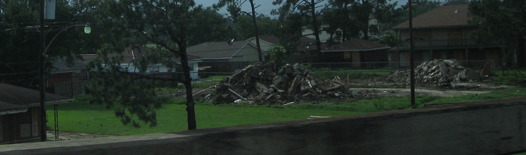
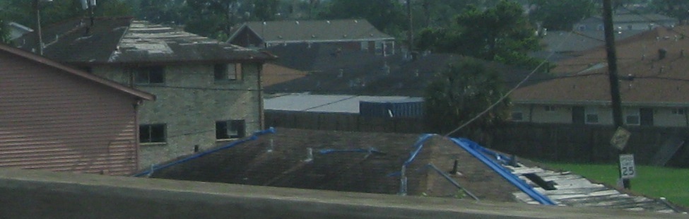
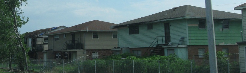
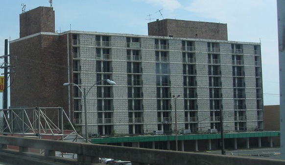
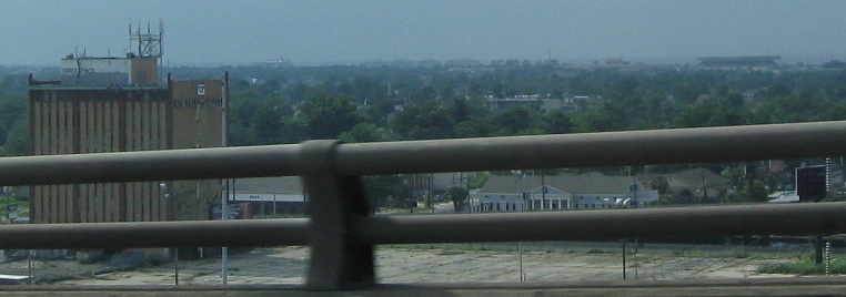
A couple of miles past US 11, civilization starts, or at least used to start. Roof tiles are still in disarray from a storm five years gone, buildings shuttered, stores abandoned, still piles of rubble in some places where houses once stood. A once-proud shopping plaza sits half empty, a former toy store left to rot because of omnipresent mold from the flood damage, a Holiday Inn with nine stories of empty rooms. Entire shopping centers wait for the wrecking ball, while even under sunny skies, water still ponds in their sub-sea level parking lots, looking no better after five years. Out of the incredible desolation, just like in a forest after a tornado, there are small signs of rebuilding. Here, there's a wooden and steel framework. There, a roof mostly patched, working its way back to health. For every house with waterlogged paneling torn off and holes barely boarded up, there's another with new siding, a smooth roof, and a family inside. It will take time, and a lot of money, but even more so, it will take the determination of New Orleanians to not give up until they have a city back.
All photos are westbound.
Lake Pontchartrain Twin Span Bridge

Hurricane Katrina damage
West on I-10 into New Orleans
Back to I-10 main page
More hurricane damage on I-510
See more of New Orleans
Back to Louisiana Roads
Back to Roads