Kentucky Roads - US 60 Versailles and W./US 62
US 60 and US 60/62, Versailles and west
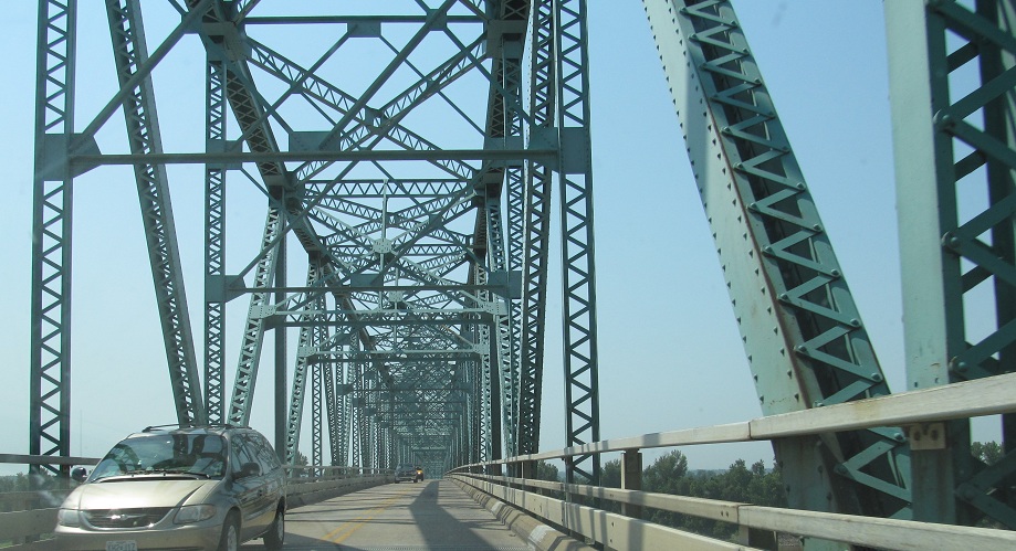
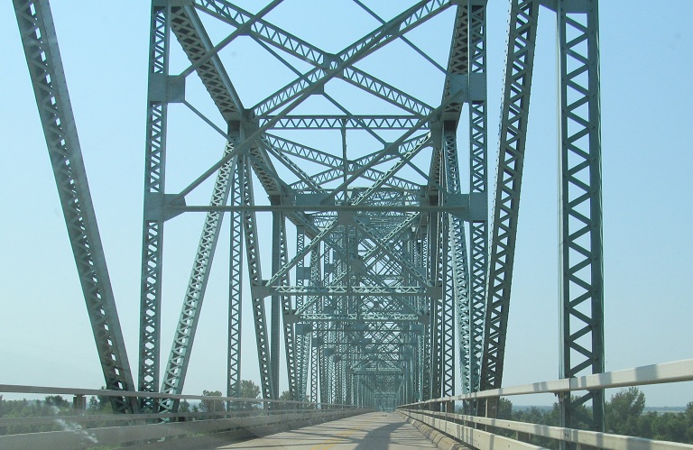
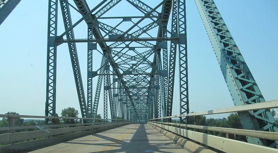
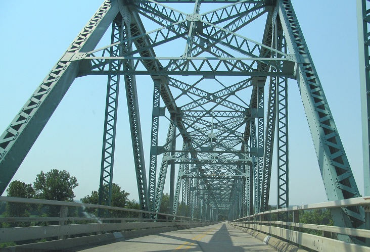
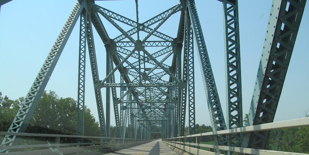
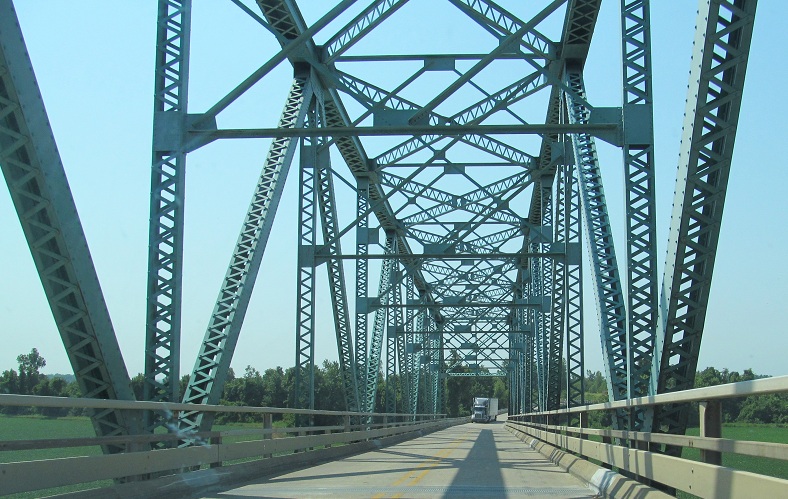
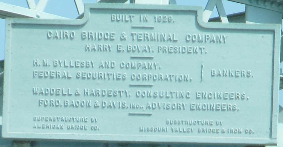
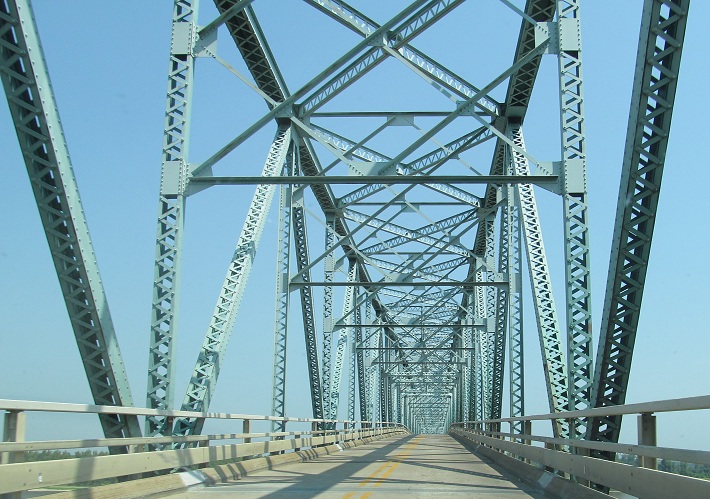
Eastbound from Cairo, IL into Kentucky on US 60/62, with US 51 SB along for the ride.
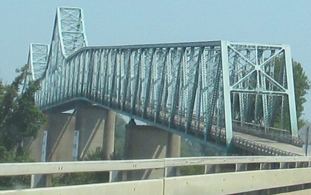
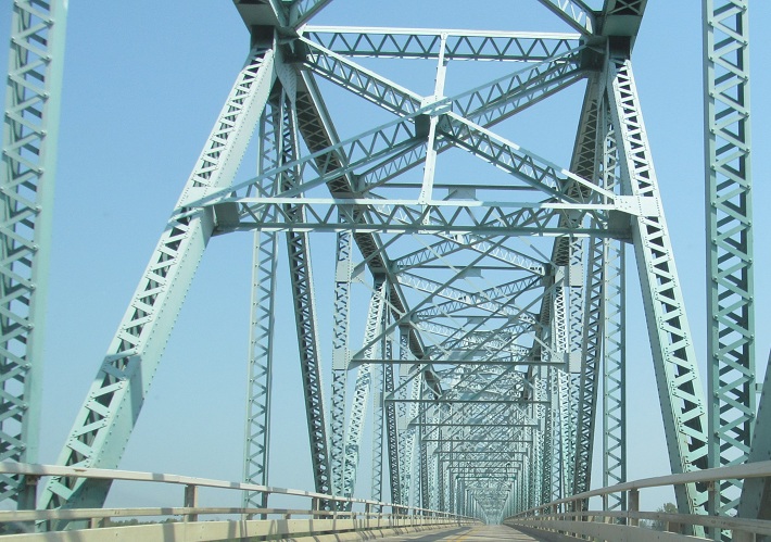
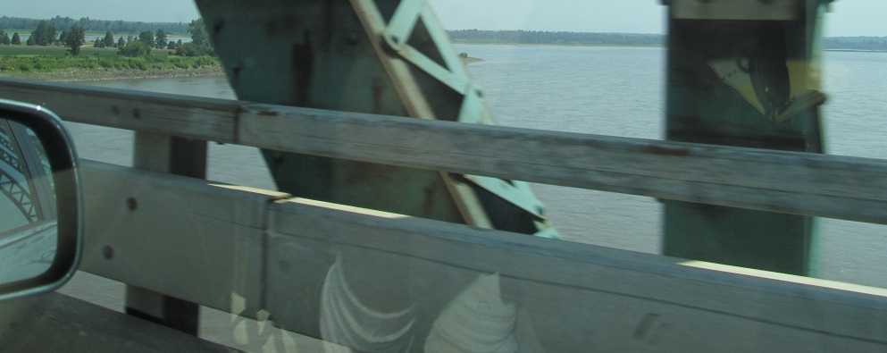
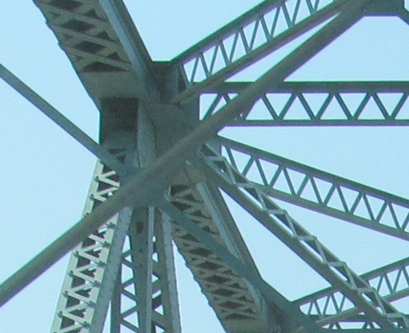
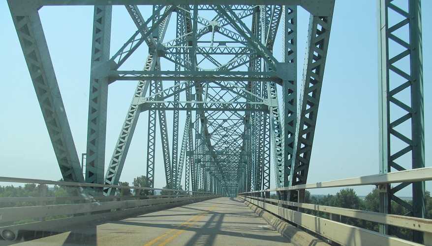
Back west into Illinois across the Ohio River.
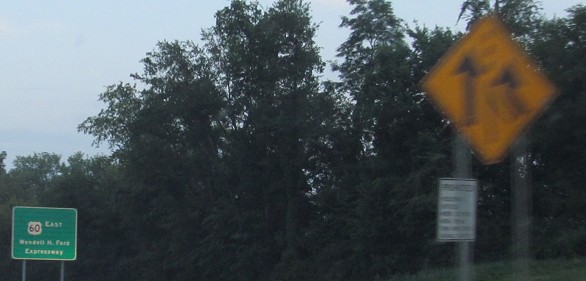
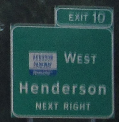
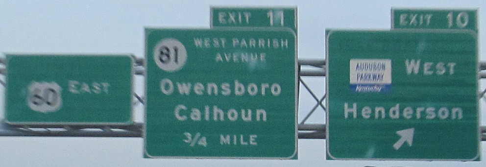
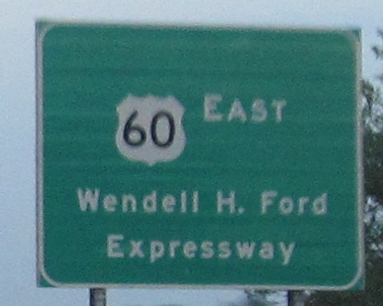
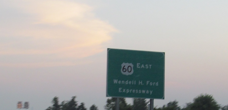
EB at the beginning of the Wendell Ford Expwy., which most people call Owensboro Bypass. (Wendell Ford also gets the Western Kentucky Pkwy., either being twice as slimy as every other politician or having KY run out of living people to name roads after just in time.) There's a lot of ugliness afoot, from the misshapen added lane arrow to the misaligned Clearview signs, to the new Audubon Pkwy. shields, to all that blank space. Well, I can at least explain the blank space. US 60 was Bypass US 60 until 2010, with the regular route going through Owensboro along what is now Business US 60. So all of the pull-through and reassurance signs have the word BYPASS removed from the top. As for Audubon Pkwy., it used to be a toll road, which you can make out at the top of the Exit 10 sign in the third photo. However, there's no excuse in the second photo, because Clearview is far too recent a development to have any toll information on it, so it was just copying the prior sign without regard for proper design.
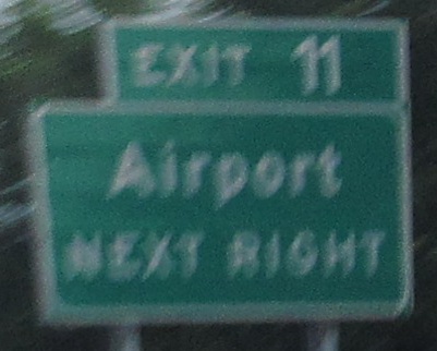
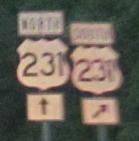
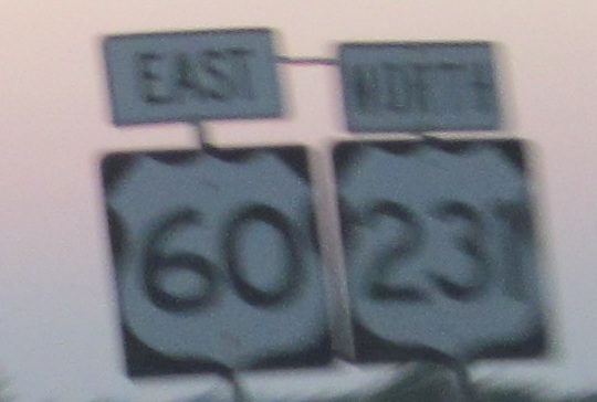
Owensboro, known for the best mutton barbecue anywhere (baaaaaaa) and the worst signs in western Kentucky. I'm continuing east past assemblies that have something wrong on each one, although you now know why the last one isn't so bad. US 231 formerly continued through downtown onto the Glover Cary Bridge, but now heads northeast to a new 4-lane, cable-stayed crossing.
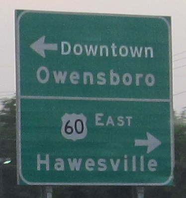
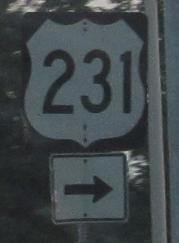
Because it's so new, US 231 gets treated as an afterthought along US 60. These photos are EB at the end of the bypass, with obvious kludging to patch a small Clearview "Downtown" over the US 60 West legend.
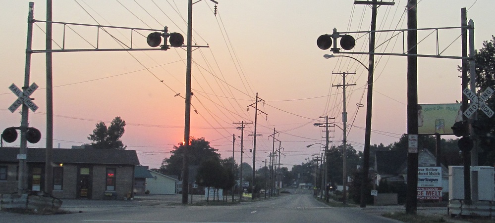
Bleat at me if you like this old railroad crossing on Business US 60 EB.
Construction of a new, wider overpass for KY 144 over the railroad immediately south of US 60/231.
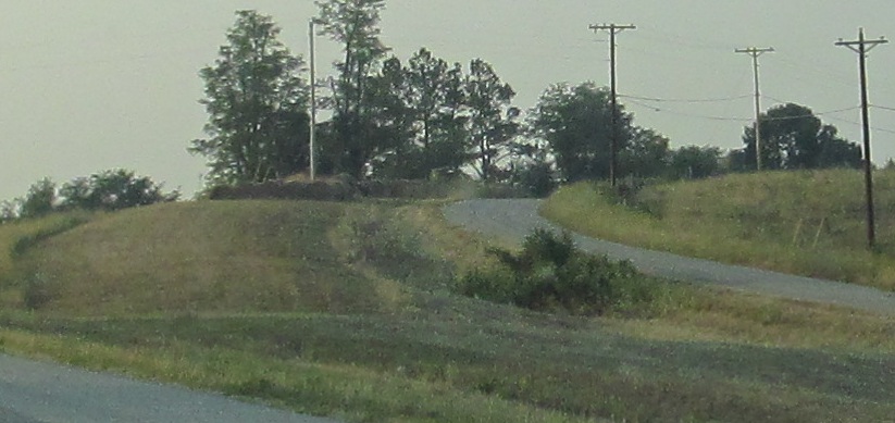
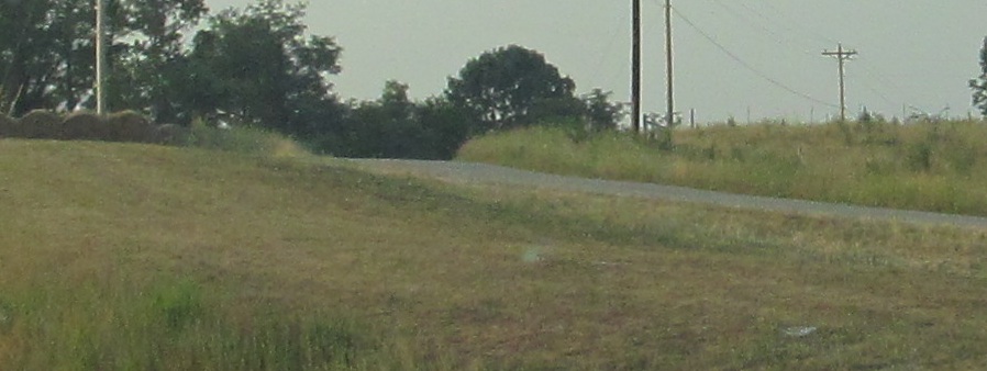
EB at an old alignment west of Hardinsburg, Wagonwheel Curve Rd.
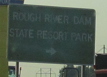
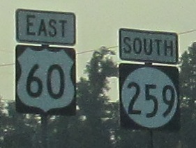
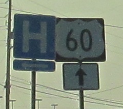
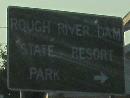
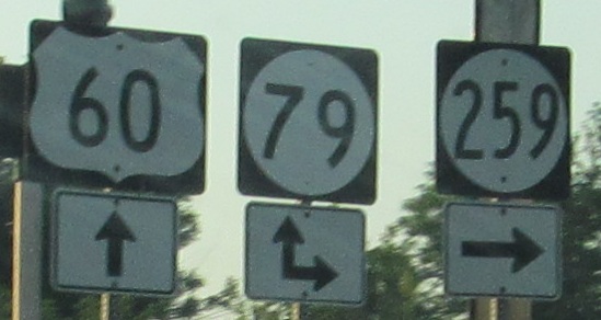
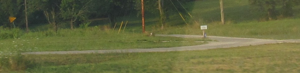
Continuing east, from KY 261 and KY 259 in the first photo to the KY 79 junction in the last two photos. Obviously, KY 79 and KY 261 meet to the south near Rough River Dam. See if you can pick out all the shield errors.
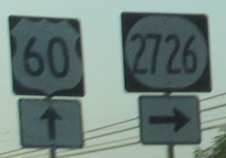
I left a lot of sky in this photo to try to blot out the ugly stain at the bottom.
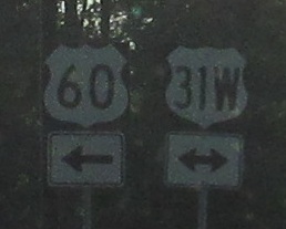
A crammed-in 4-digit route, another old alignment west of Fort Knox, and then to the beginning of a multiplex into Louisville, all EB. Photos continue for awhile along US 31W, with varying degrees of awfulness as portended by the misshapen US 31W shield. (Actually, there are none from this point north, thankfully.)
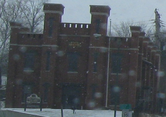
The State Arsenal is just east of the Capital Bridge (KY 420) in Frankfort. Look below for a link to the 420 page for bridge photos.
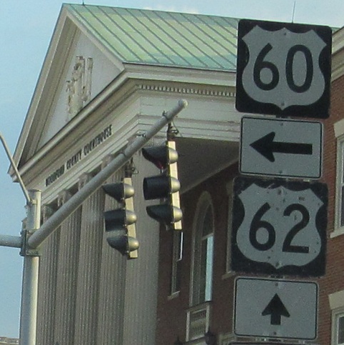
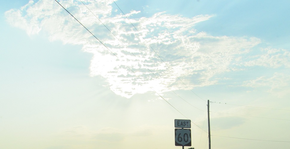
Business US 60, formerly regular US 60, EB in Versailles where US 62 WB breaks off. After crossing together from Illinois, US 60 and US 62 forge separate paths to Paducah, where they meet a second time. Staying south of US 60 still (for the third time), US 62 heads to Elizabethtown while US 60 hugs the Ohio River to Louisville. And yet, here they come back toward Lexington for one more dalliance before US 62 finally heads north and breaks away from 60 for good.
Continue east on US 60
Onto US 62 alone
Onto US 31W and US 60/31W
KY 420 and US 60/KY 420
Back to US 60 main page
Into Illinois on US 60/62
Onto Audubon Pkwy.
Back to Kentucky Roads
Back to Roads