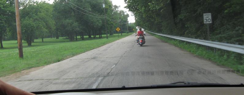
Indiana Roads - US 40 - W. of Stilesville
US 40 west of Stilesville
Leaving US 40 WB on E. Paris Ave. in West Terre Haute. This leads away from US 40, but is such a natural extension of the US 40 corridor and done in concrete that I have to wonder if it was an old alignment that went into the town and cut back to the modern day National Road.
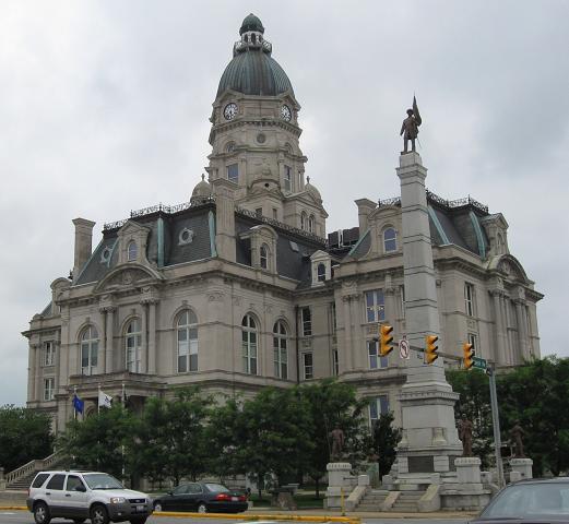
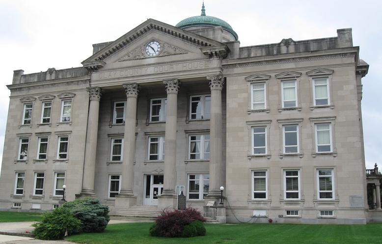
Downtown Terre Haute, with the Vigo County Courthouse. It looks more ornate than most state Capitols.
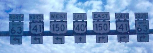
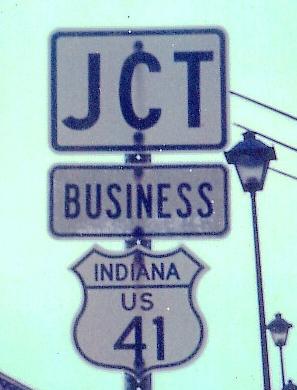
EB and WB in Terre Haute in 1982, courtesy Michael Summa. The old state-name shield is on the other side of Indiana State University, and even back then signs weren't perfect - the "41" is way off-center. Between the age of this shield and the reported paucity of other reassurance, Michael thinks this business route was decommissioned before he got there.
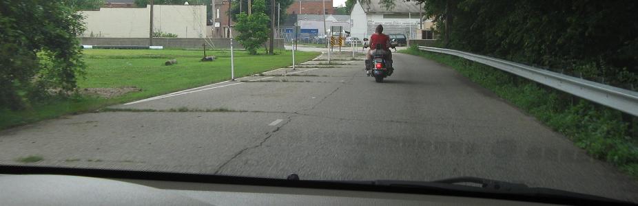
A better-preserved relic of bygone times, WB nearing the city.
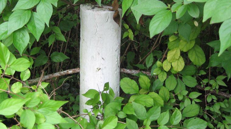
Down Kaperak Lane in East Glenn, just east of Rose Hulman Institute of Technology. If this looks like old highway guiderail, well, this is old US 40, at least up to the hard 90-degree turn. The second photo's guiderail, still with intact cable, is hidden in the trees beyond that point.
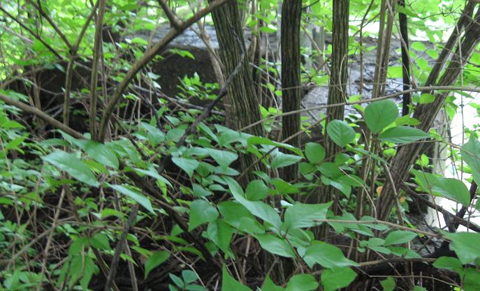
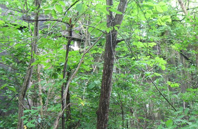
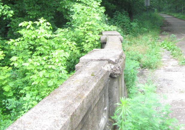
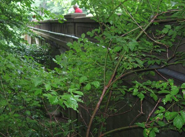
Walking west on old US 40, I am surrounded by trees, but the structures seen here are the north and south walls of the eastern bridge abutment that originally carried US 40 over railroad tracks. The tracks are now a walkable rail trail.
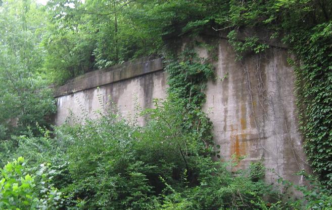
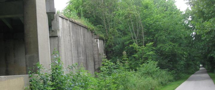
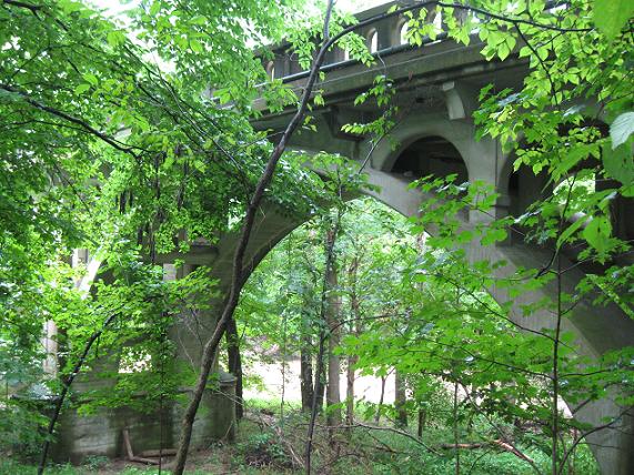
Down on that rail trail, looking at the east and west abutments. The western face is immediately adjacent to modern US 40, so there's no trace of the stub left from the upper level.
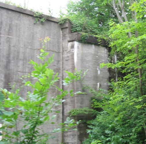
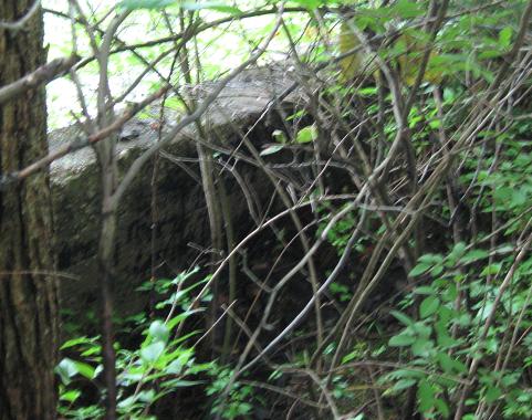
A closer look at the western abutment continuing into the thickening trees.
WB in Brazil, 5,635 klicks from the mouth of the Amazon (I measured, it's true).
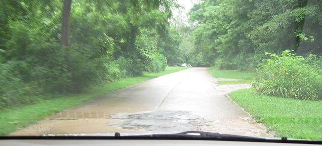

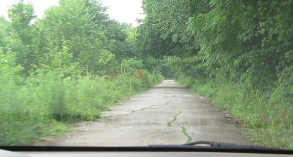
Heading west down an old alignment near Reelsville.
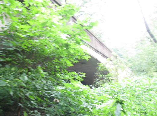
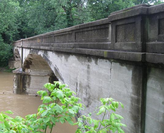
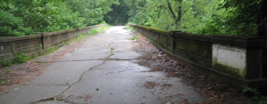
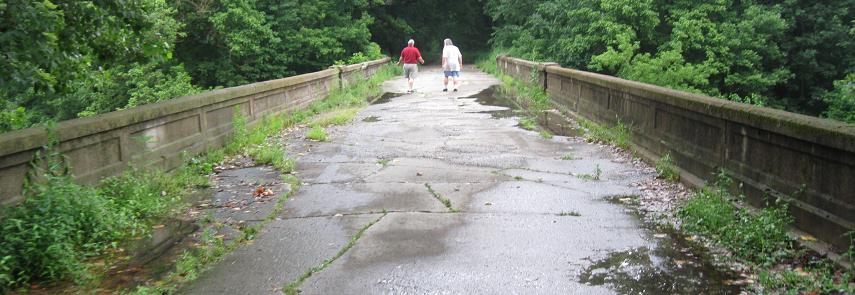
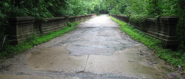
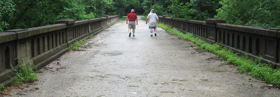
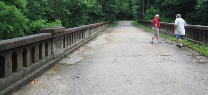
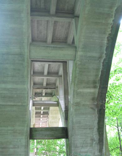
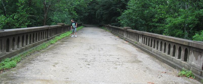
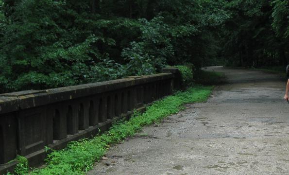
A couple of views of the bridge I just crossed.
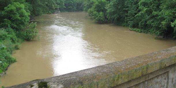 Big Walnut Creek to the north.
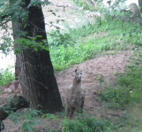 And to the south, there are llamas.
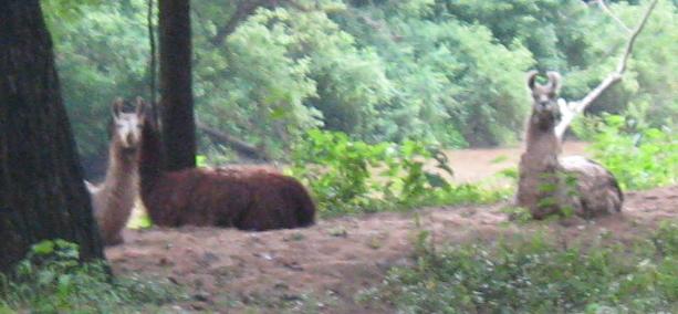 Yes, llamas.
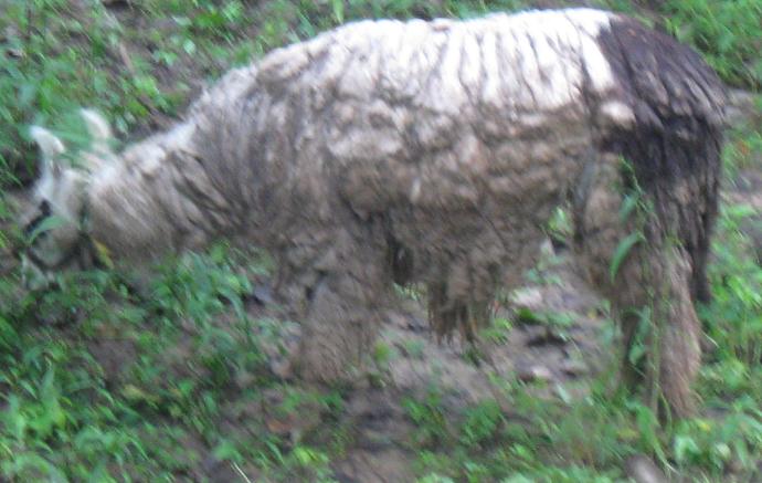 Why so many llamas?

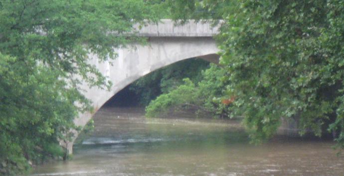
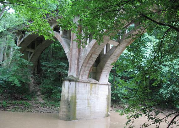
And to the south, here's the actual creek. And there's US 40 WB in the background, crossing an arch bridge that still looks old. As I said on my page to the east, it's possible US 40 was first realigned as a two-lane road and then twinned to the south.
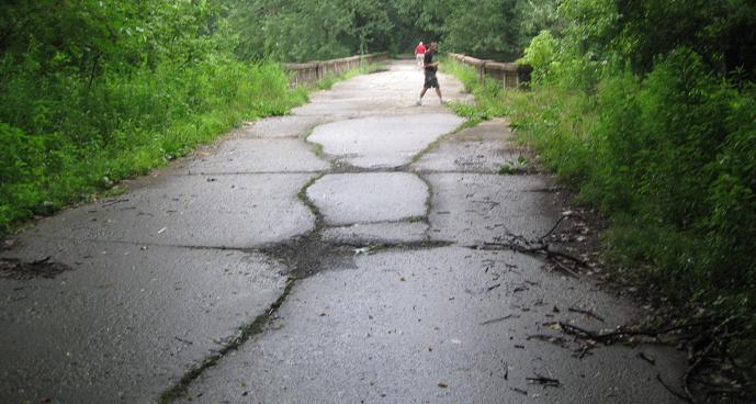
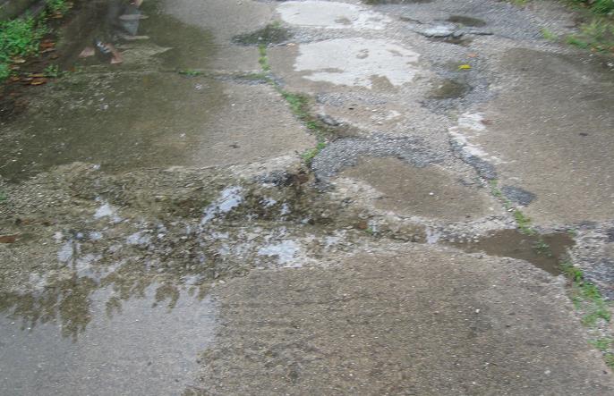
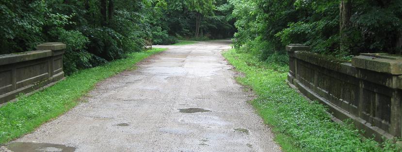
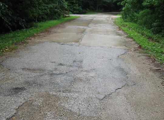
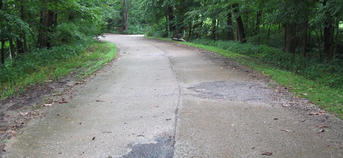
Heading back east to the car. This bridge, unlike the one on the next page east (linked below), is open to traffic but still in only marginally driveable condition.
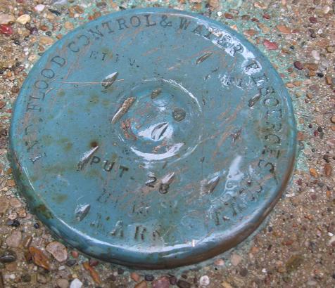
A flood control marker. I'm an engineer, so these interest me. You probably don't care.
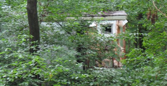
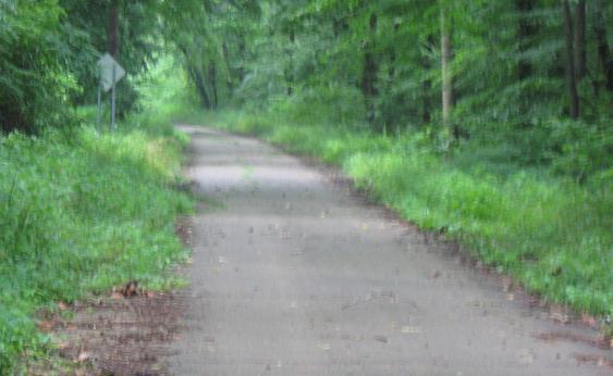
Past a rusted-out trailer and continuing west on the old alignment toward Brazil.
EB on an old alignment of US 40, County Road 570S south of Greencastle, across Deer Creek.
Walking down the northwestern bank of the creek, seeing what I can see.
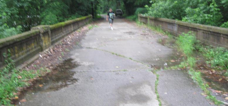
Back west across the bridge again.
Continue east on US 40
Back to US 40 main page
Into Illinois on Old US 40
Onto US 41
Back to Indiana Roads
Back to Roads