Indiana Roads - I-65/70
I-65/70
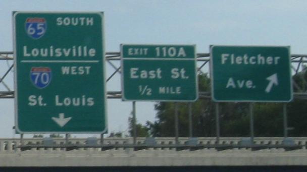
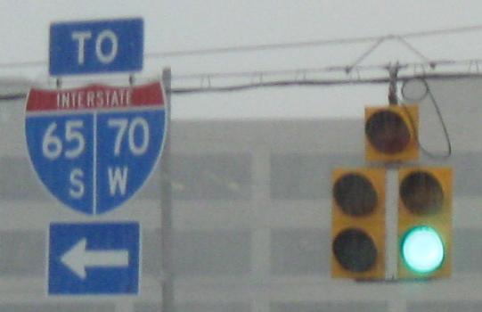
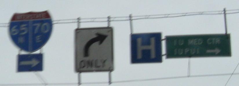
Exit 111 from I-65 SB joins Exit 83A from I-70 WB and forms a long C-D road all the way past downtown. Here's the button copy from that ramp.
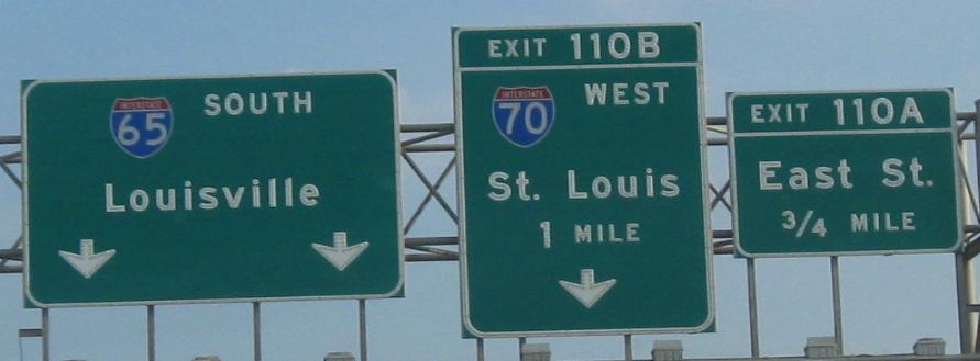
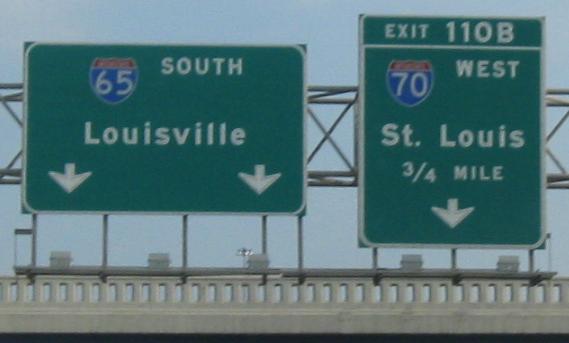
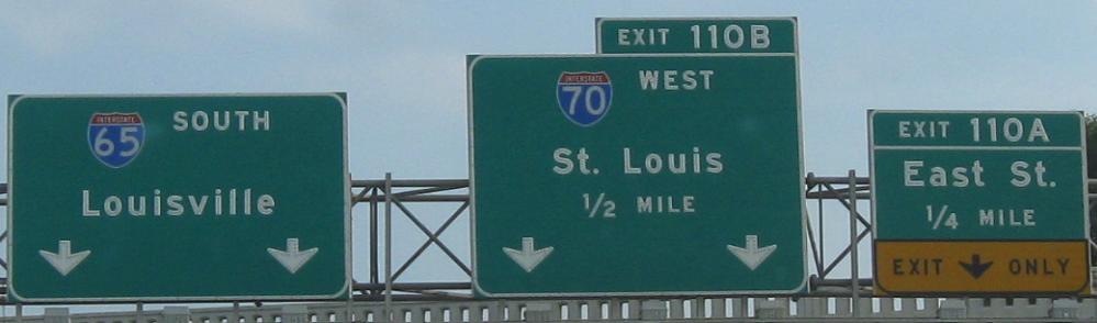
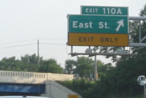
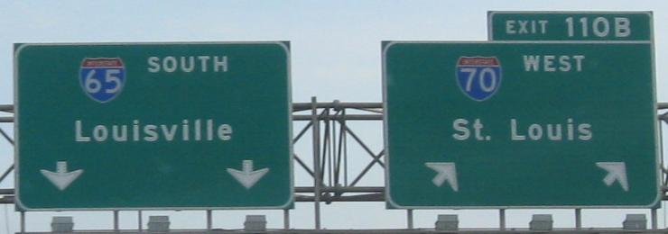
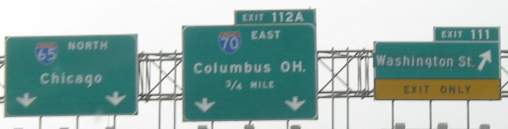
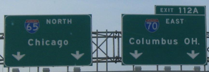
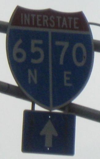
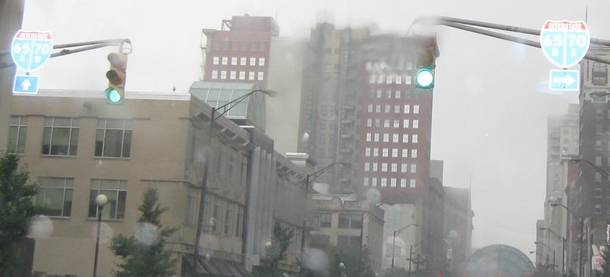
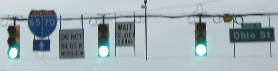
Meanwhile, the SB/WB mainline goes on with its own progression of signs. For reference, the second sign in this run is to the left of the last sign on the Exit 111 C-D road. The exit numbers carry over from I-65, which is why I-70 must exit from itself.
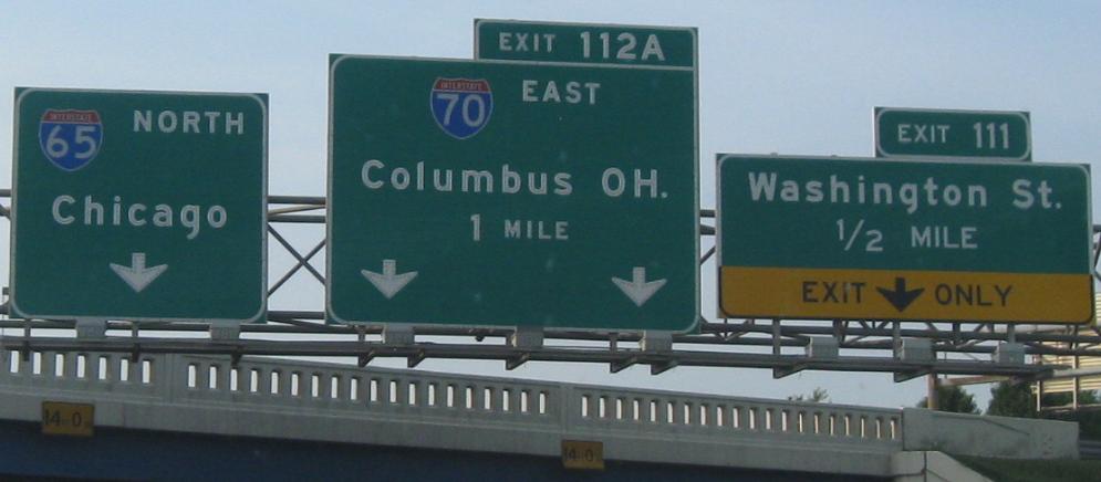
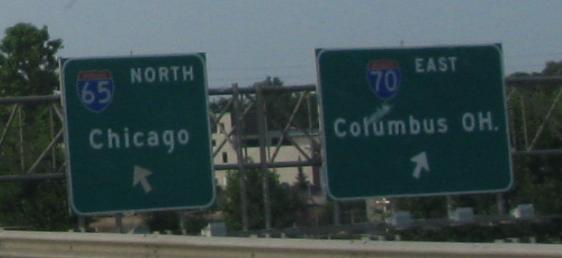
Starting off NB/EB on the multiplex. Even though the freeway and its overpasses were reconstructed in recent years, INDOT could not avoid the ultra-low 14 foot clearances in the downtown area. (It's really more like 14' 6", but DOT's post 6 inches under by practice just in case someone's a hair over the maximum.)
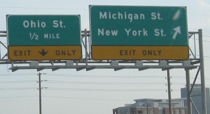
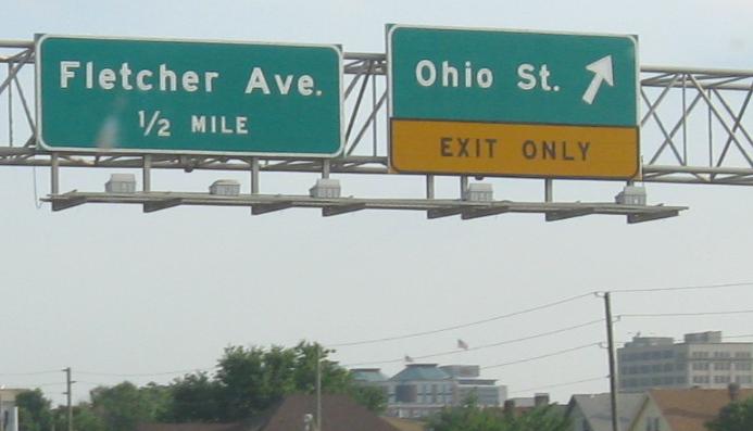
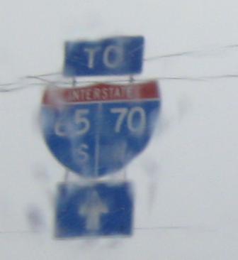
There is no C-D road in this direction, so surface traffic uses Pine St. to get onto the freeway. Here's where Pine St. starts to come up from Michigan St.
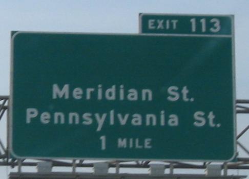
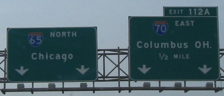
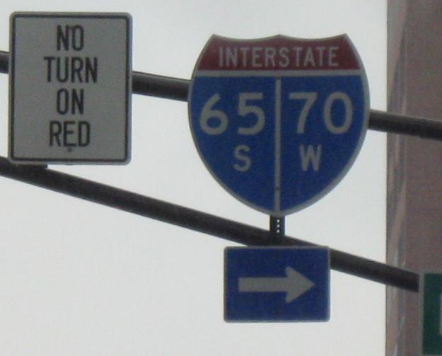
Up to the split, but the first advance sign for the next I-65 exit comes before the freeways part.
Washington St., former US 40, WB at Pine St. and therefore at I-65/70. If you think these shields are abominations, well, at least they're 3-digit width so there's a little more room to fit all the information...
There's a reason the MUTCD distinguishes between shields and guide signs. Guide signs are for guiding drivers. They are big, green, and have text size large enough to be read from a distance so that you can navigate. That would be helpful here, Illinois St. NB at Ohio St. and then turning onto Ohio St. EB at Pennsylvania St.
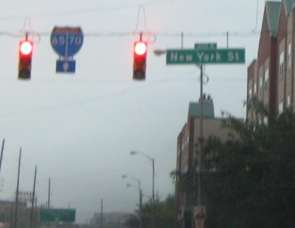
Back to Washington St., westbound at Delaware St. in downtown and West St., yes on the west edge of the downtown core. (Guess what the other streets around downtown are?)
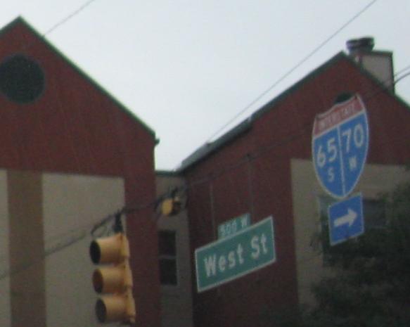
Now onto West St. NB, which gets to I-65 at Exit 114. Since I-65 SB leads to I-70, the sign is fine as-is. Doesn't it suddenly look a little empty without the directions inside?
One last shield, New York St. EB at West St.
Onto I-65 alone
Onto I-70 alone
Back to Indiana Roads
Back to Roads