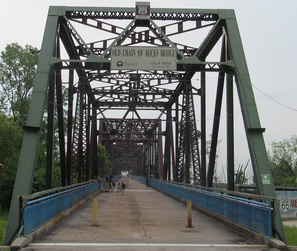
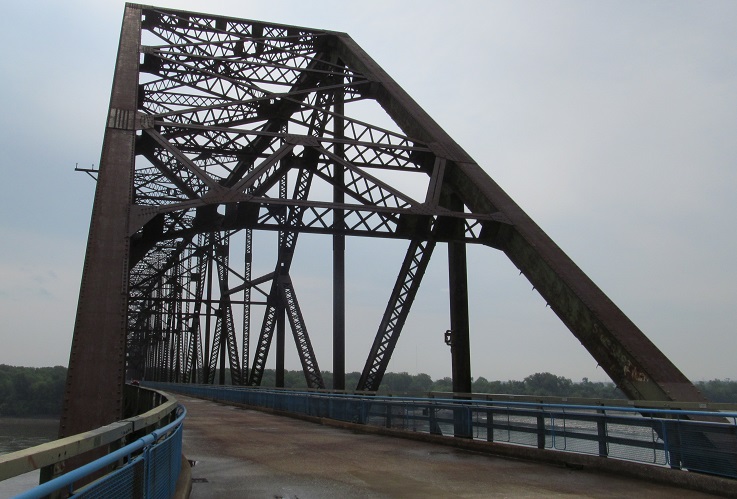
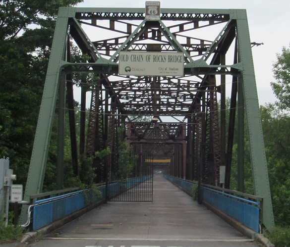
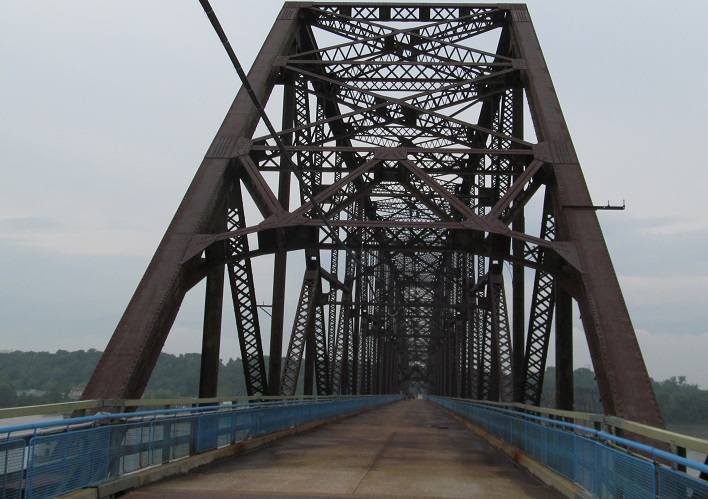
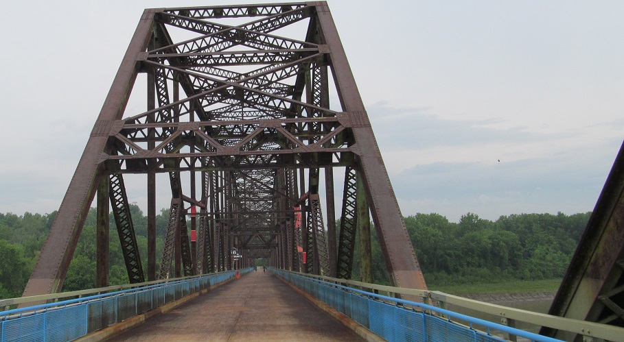
Illinois/Missouri Roads - US 66 - Chain of Rocks Br. - Main span
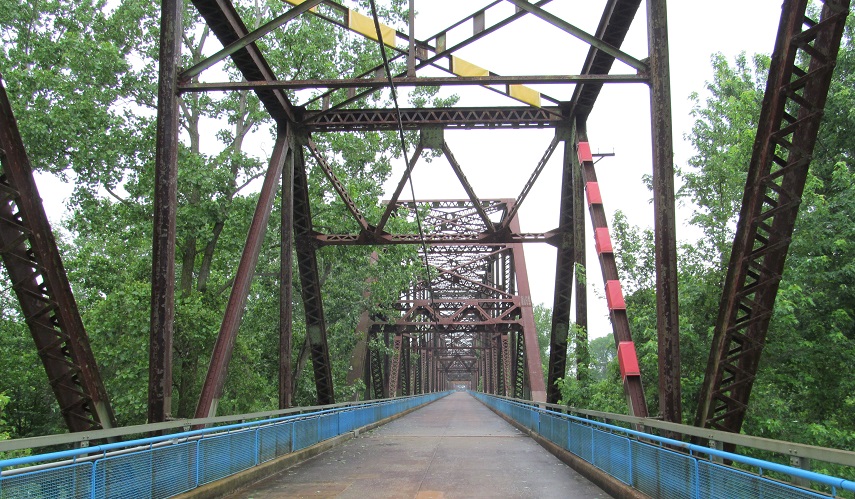
Chain of Rocks Bridge main span
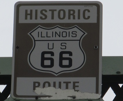
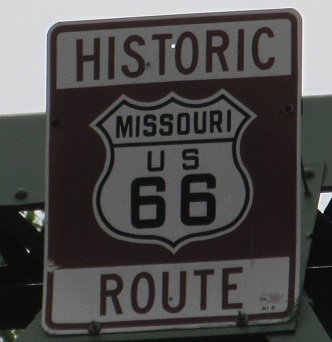
The two states do things just a tad differently.
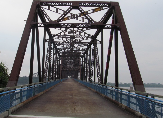
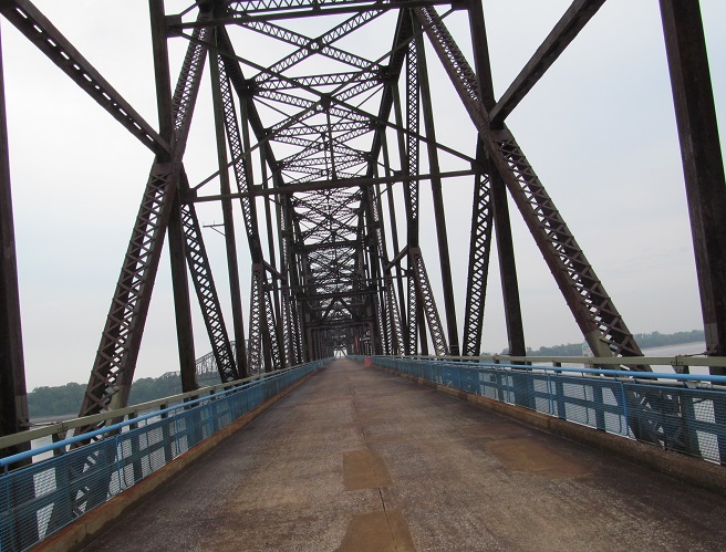
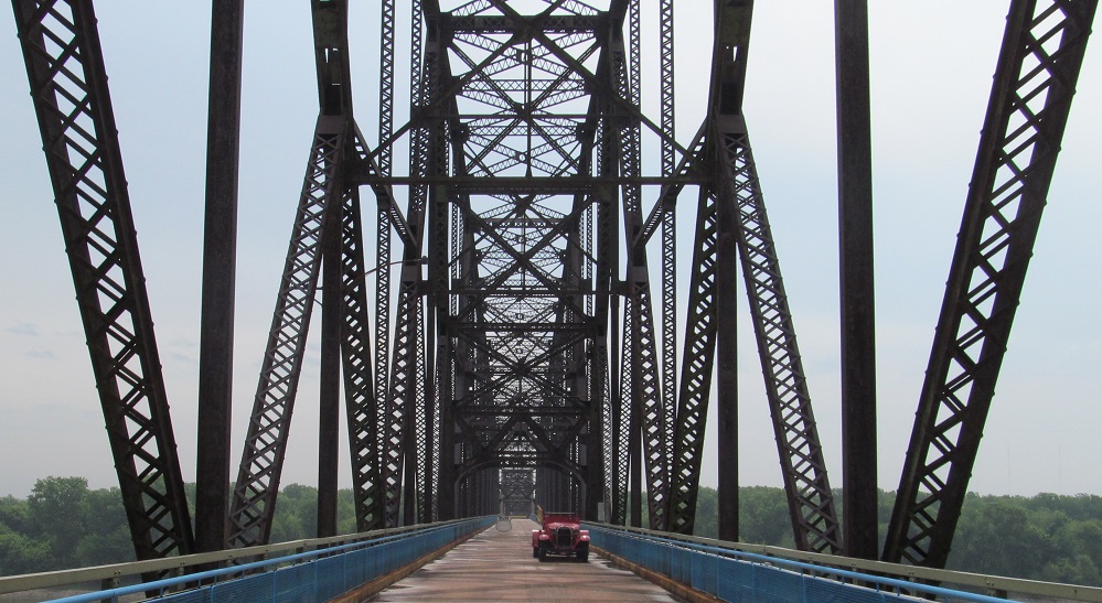
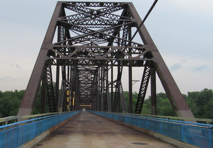
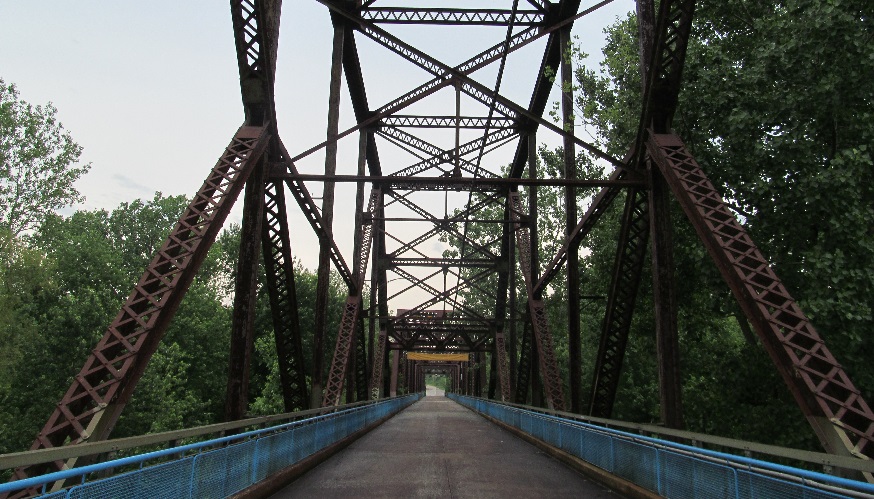
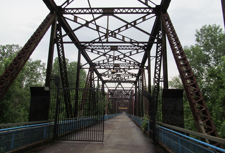
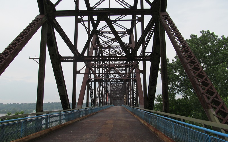
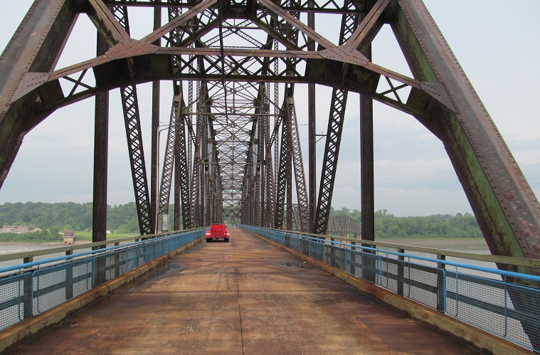
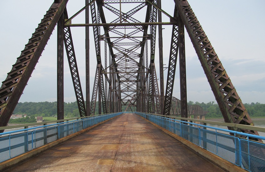
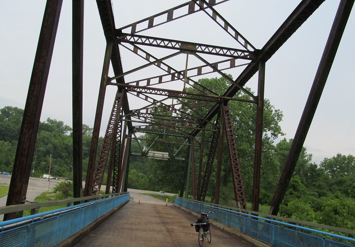
Heading straight across eastbound, just to give you a taste of crossing the bridge. The bridge suddenly curves 22 degrees close to the Missouri shore, which was supposedly done to keep the river navigable, though I have no idea how this in any way contributes to navigability. It must have been pleasant for interstate truck traffic to pass each other. There's a fake old car and overly cut-out fake sign about midspan (the numerals are hollow).
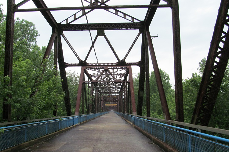

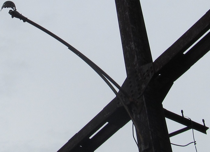
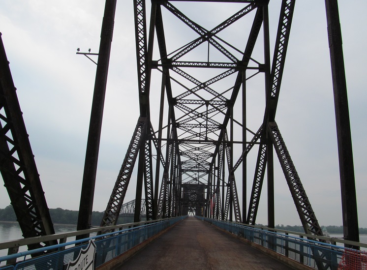
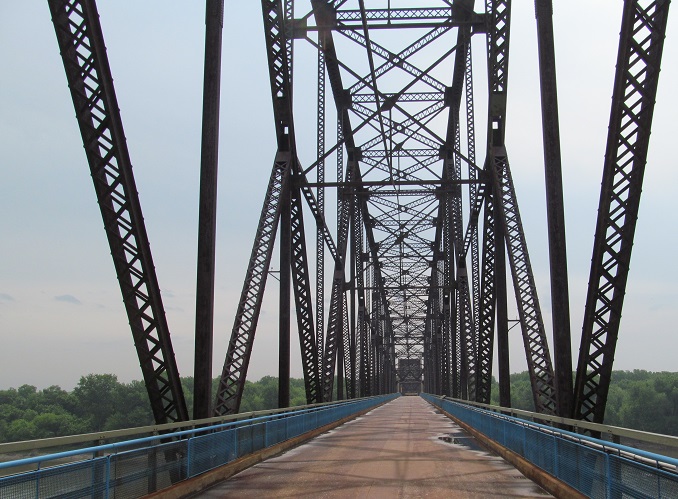
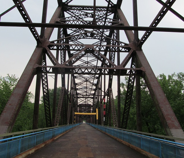
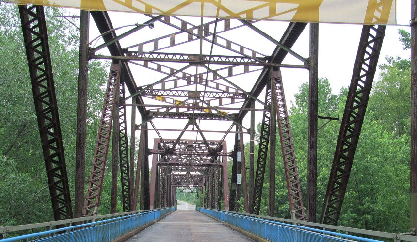
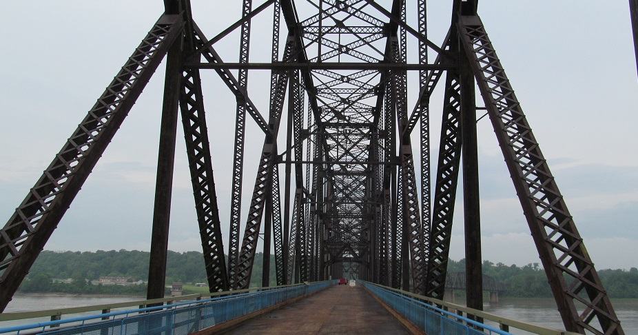
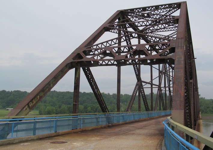
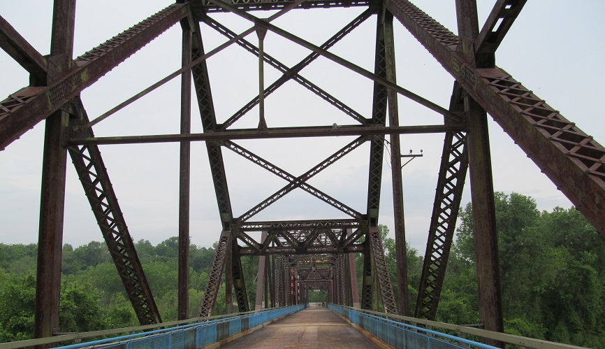
Starting off my trip back west. The bridge once had lights, but that was 45 years ago.
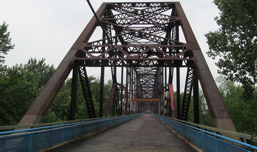
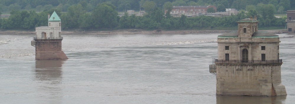
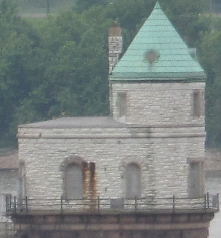
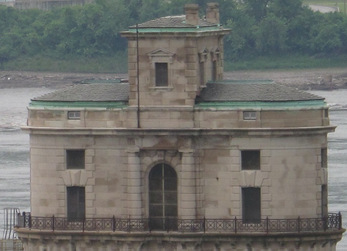
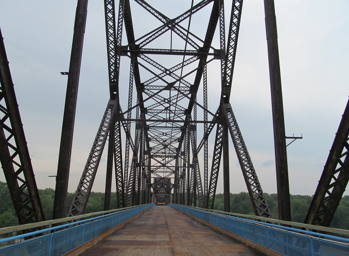
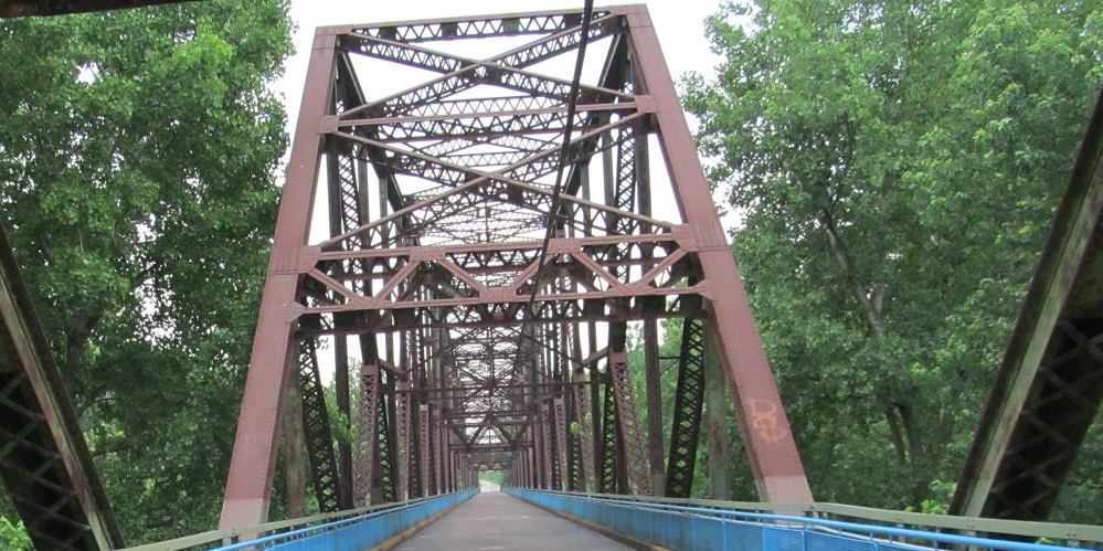
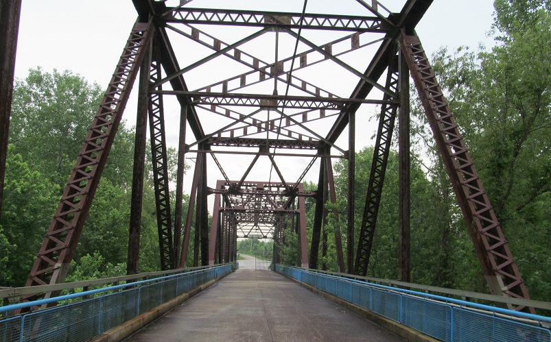
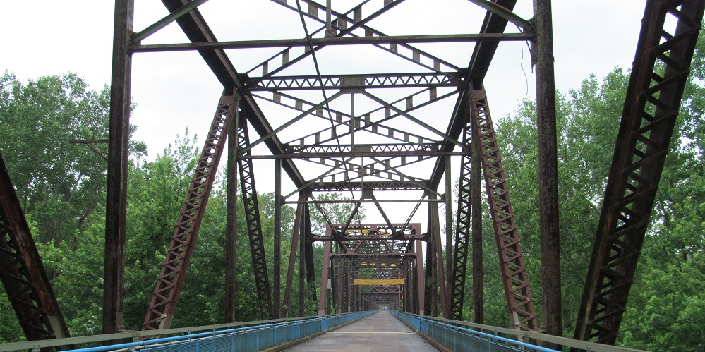
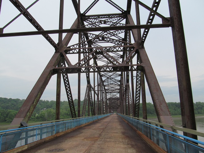
Continuing west to the water intake towers that I explained on the main bridge page. The Missouri-side one is farther downstream (south).
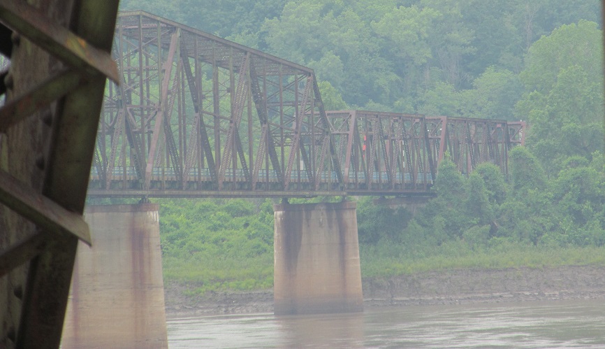
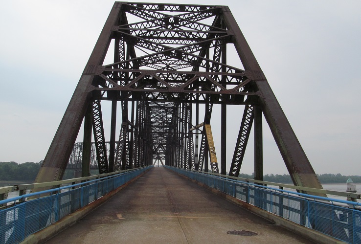
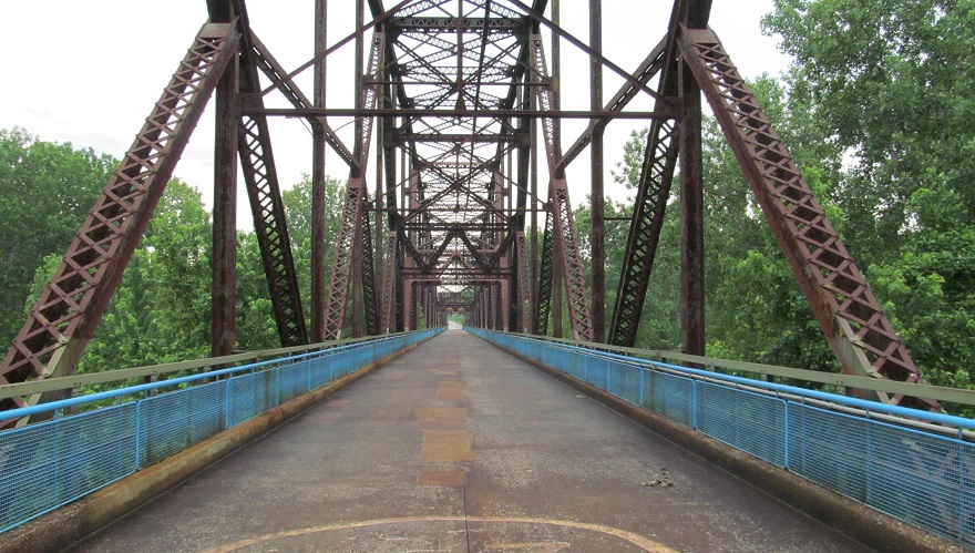
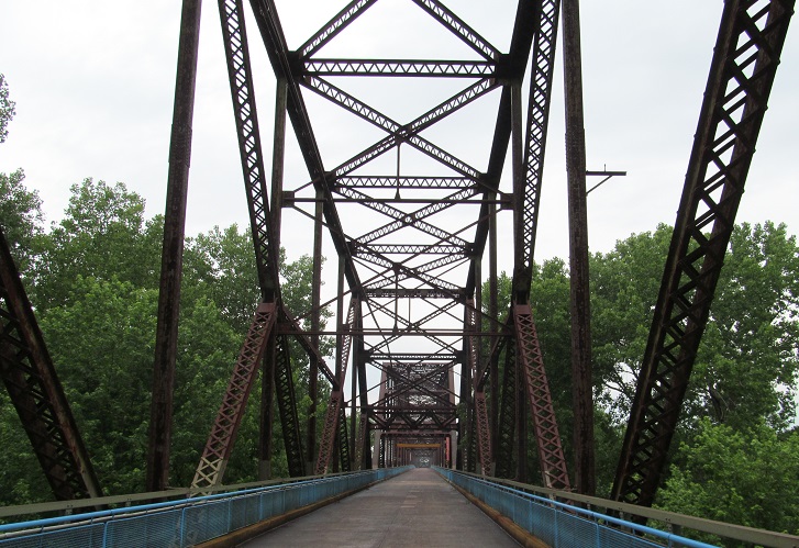
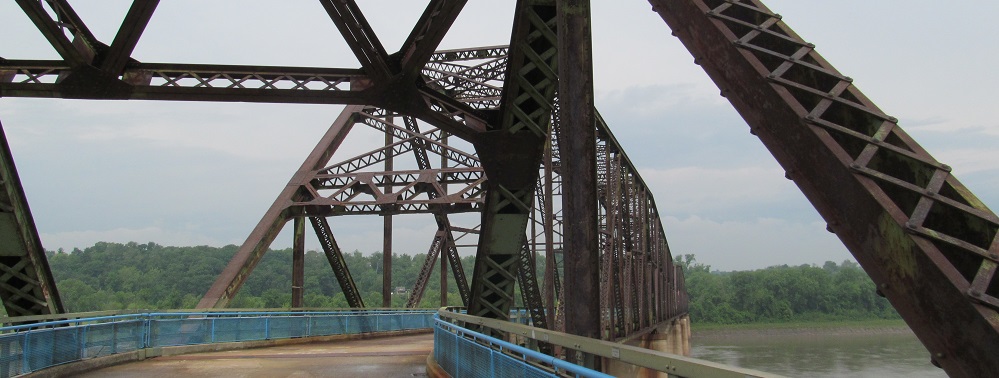
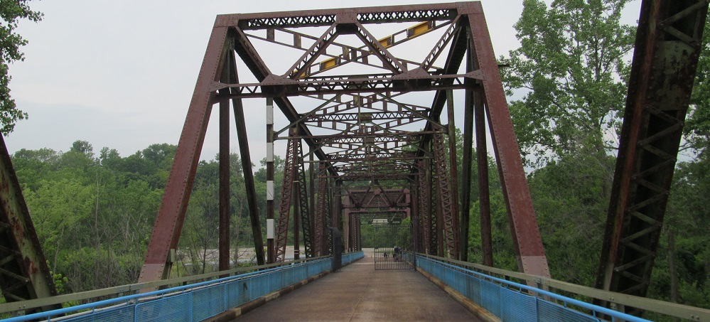
Looking ahead to that sharp bend.
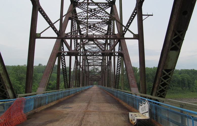
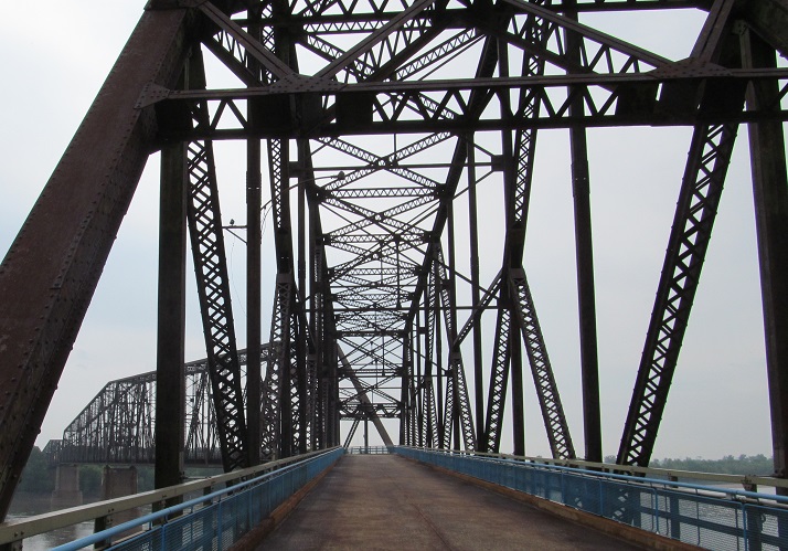
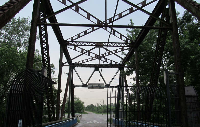
It's okay, no real signs were harmed in the making of this bench.
Continue east to the approach and Canal span
Back to Chain of Rocks Bridge main page
Back to Illinois Roads
Back to Missouri Roads
Back to Roads