Hawai`i Roads - HI 360
HI 360 road photos
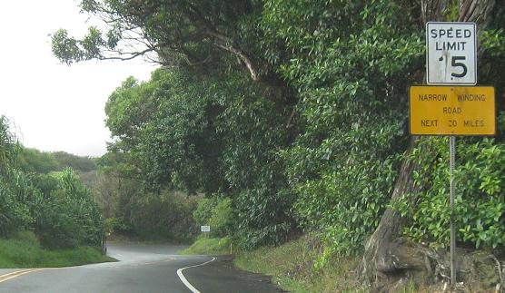 No kidding...
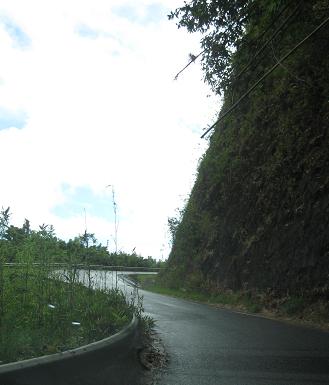
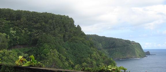
In a stretch refreshingly free of one-lane bridges, the road cuts its way through the trees on the mountainside, or in one case through the mountainside itself. As you see in the third photo, just a little bit of rockfall will instantly cut off the east side of Maui.
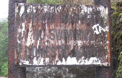
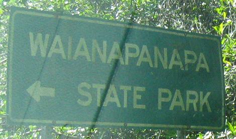
On the bridges page I mention a former structure for domestic water supply. The only way I knew that was this sign. Tyler knows it too.
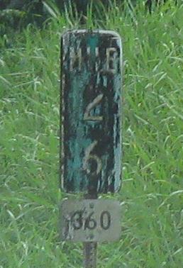
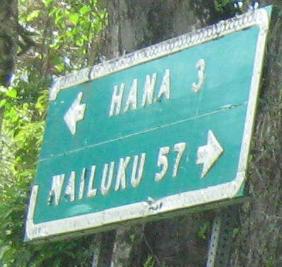
In Hawai`i, you can sometimes tell the age of a sign by the reflectors in the letters, or the cracks in the shield, but the most reliable indicator is the amount of greenery that has grown over the sign.
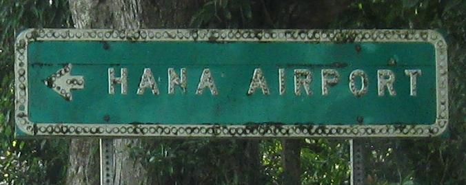
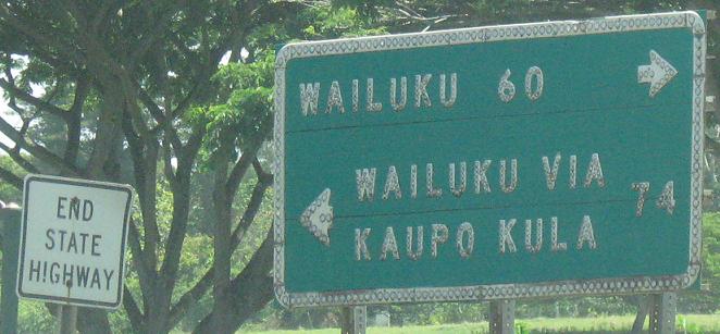
EB at Airport Rd. and Airport Rd. SB, proving two of my points from the previous caption - button copy and overgrowth together on an old sign.
One more EB sign and then the end of HI 360 (and beginning of CR 31), Hau`oli Rd. in Hana. I've read plenty of sources saying that the end of the state highway is fairly nondescript, but if you ask me this is the perfect ending. It's old enough that Wailuku is still signed both along the north shore (Hana Highway) and south shore (Pi`ilani Highway), even though the south shore road is still unpaved and officially off-limits to all but local traffic.
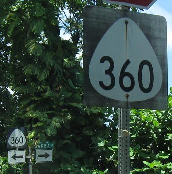
WB at Uakea Rd. on the west side of Hana, heading back to Wailuku. I didn't bother taking any WB photos, because I think I captured everything eastbound. Here the shield isn't cracked, just faded, and there's nothing green growing on it, so it can't be that old - or maybe there's just nothing green nearby to launch life onto the sign surface.
HI 360 bridge photos
Back to HI 36/360 main page
Continue southeast on Hana Highway via CR 31
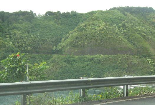
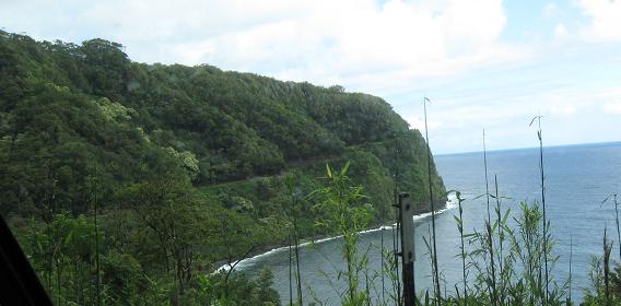
Scenery along HI 360
More Maui roads
Back to Hawai`i Roads
Back to Roads