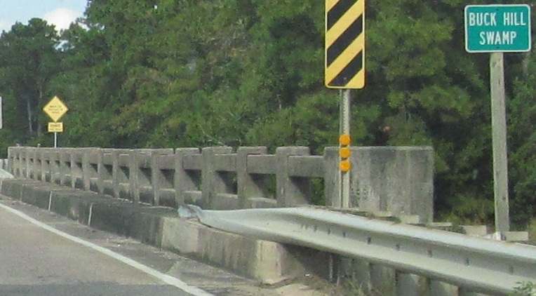
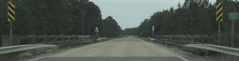
NB from Catfish Creek, quite near Florida, to GA 40 in Kingsland, the first town north in Georgia.
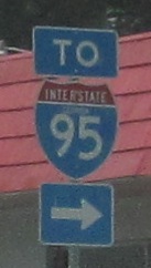
Remember these? If you do, you came here from the Florida US 17 page. If not, go there next. A contractor is repairing the bridge linking the states, and put up 3dus (3-digit wide US shield) errors. These are at I-95 Exit 3 on GA 40, courtesy Lou Corsaro.
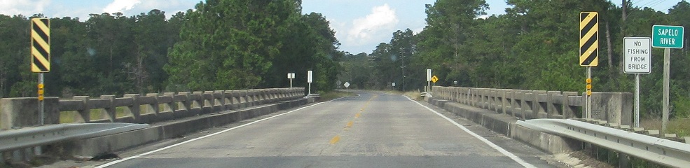
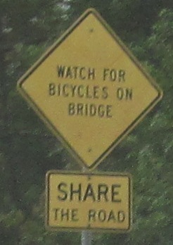
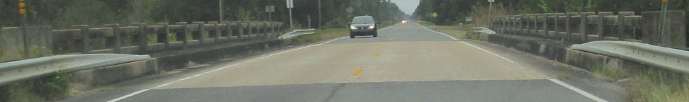
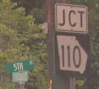
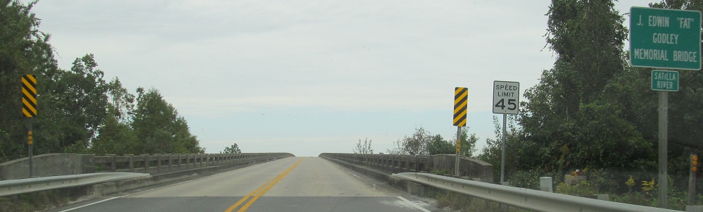
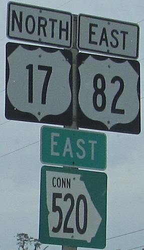
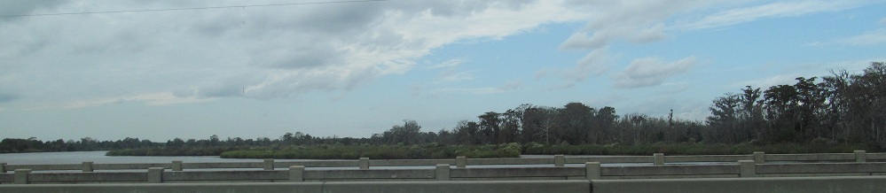
US 17 NB across the Crooked River and North Fork (of nothing in particular), picking up GA 110 in Woodbine and heading across the Satilla River on the Fat Bridge. I left the sign in that photo for a reason.
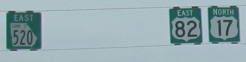
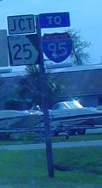
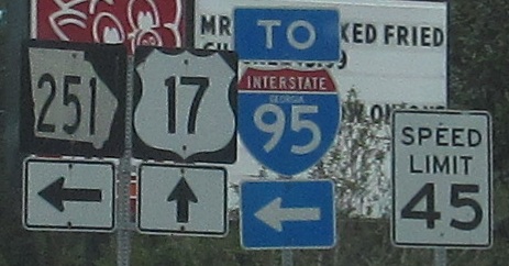
The sign below says CONN, but the one above says CORR Z. Which is it? It's Corridor Z. There is no GA Connector 520, but at least the zealous contractor got the shield color right. US 82 should end where it hits US 17, but instead uselessly multiplexes over to I-95.
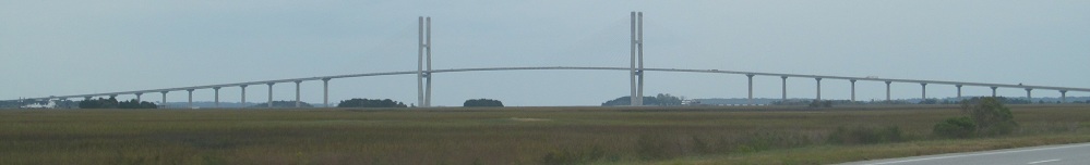
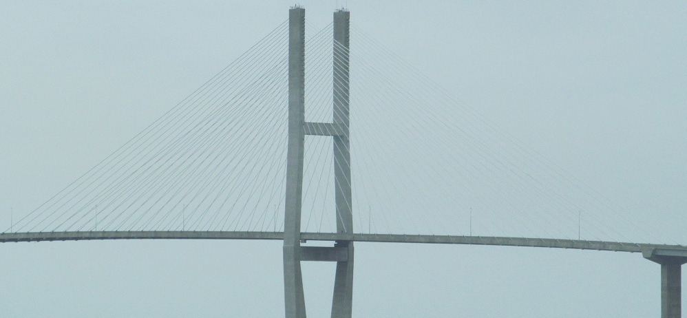
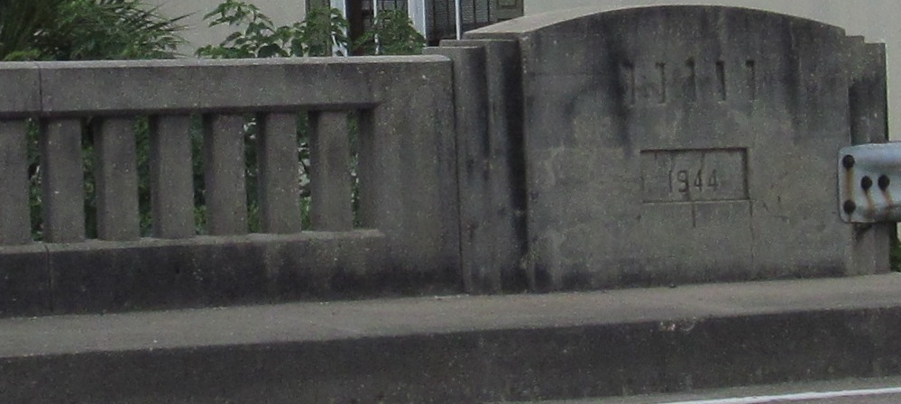
The new Sidney Lanier Bridge, soaring majestically north across the Brunswick River to the eponymous town. Eponymous. E-pon-y-mous.
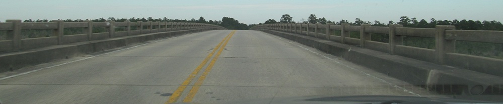
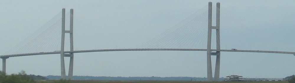
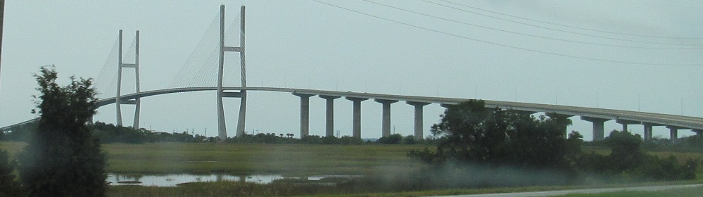
Now heading south from Brunswick, courtesy Lou Corsaro. To the right of the bridge is the old US 17 alignment, cutting a path through the trees to where there was once a drawbridge. Eponymous.
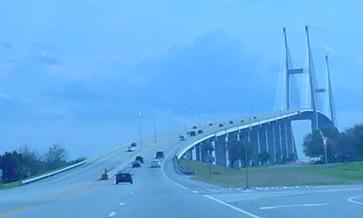
Click to check out the eponymous video. Okay, that was a blatant misuse of the term.
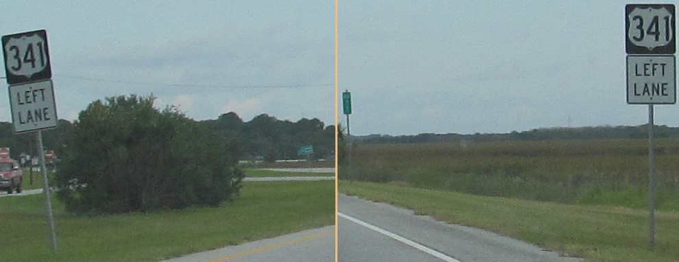
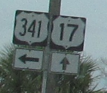
NB at the beginning of US 341, with a sidelong glance. Georgia abhors 3-digit US shields like Nature abhors jokes about vacuums.
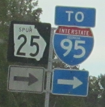
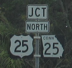
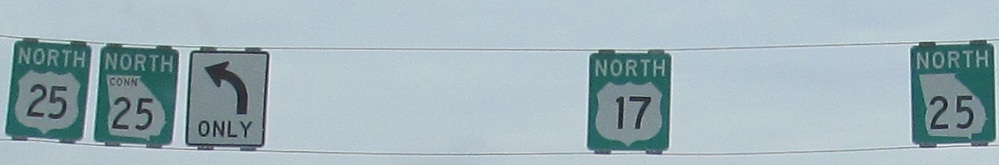
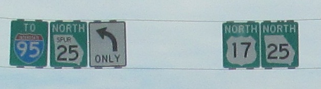
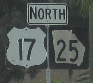
Take US 17 north to Route 25... This is where Georgia's practice of making sure that every numbered road has a state route shadowing it falls apart. US 17 is GA 25 for nearly its entire length because Georgia just stuck US routes on top of its state route system without considering the consequences. US 25 is not GA Spur 25 for its entire length, but it is here in Brunswick. It's actually quite rare to have a non-state route shadowed by its eponymous state route. Eponymous. Eponymous. Eponymous.
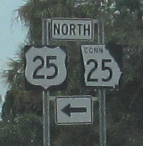
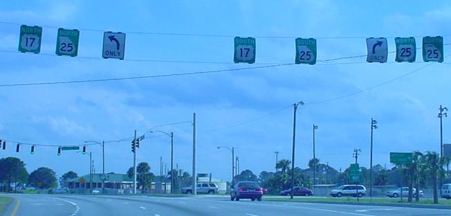
Southbound at the same intersection, courtesy Lou Corsaro.
Continuing north to a second Spur 25 in the same town, Golden Isles Pkwy. Not confusing at all, nope.
SB at the same Spur, courtesy Lou Corsaro. Unlike NJDOT's new policy on 5xx routes, Georgia routes can spawn as many spurs as they like. That's a state-name shield there, too.
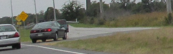
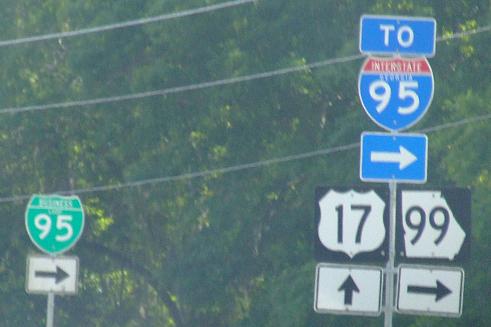
US 17/GA 99 and that omnipresent GA 25, NB across Butler River next to the former bridge. Geographers will appreciate that the Butler River is one of many rivers that begin and end at the Altamaha River within its delta.
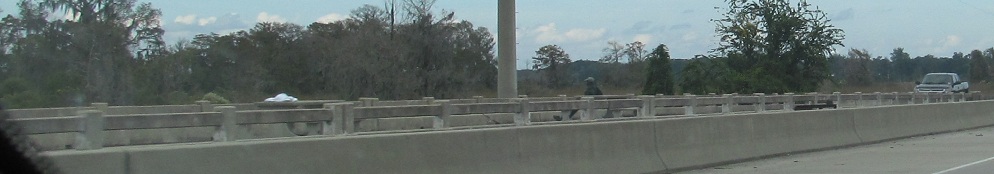
One look south at the old alignment diverging.
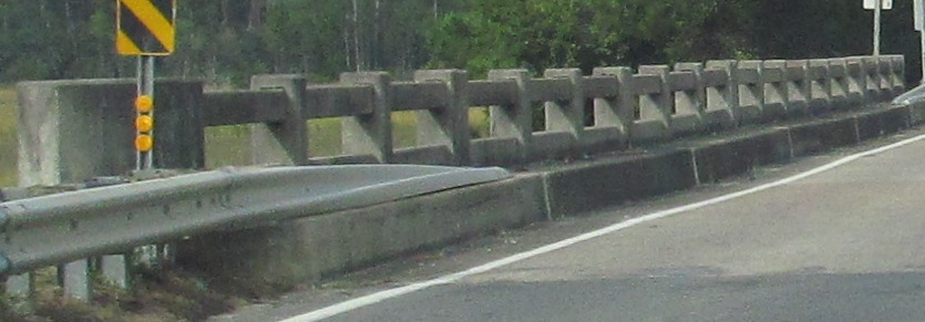
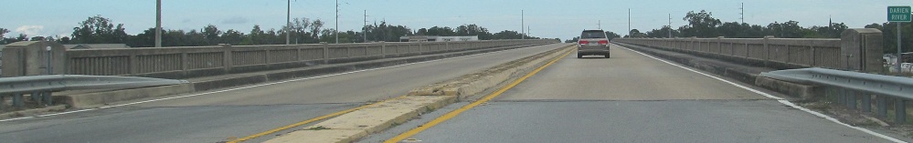
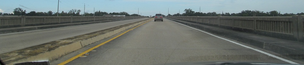
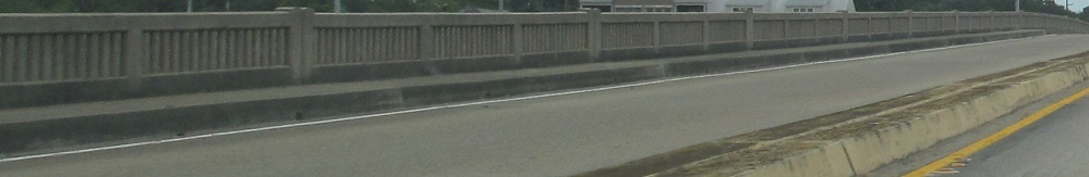
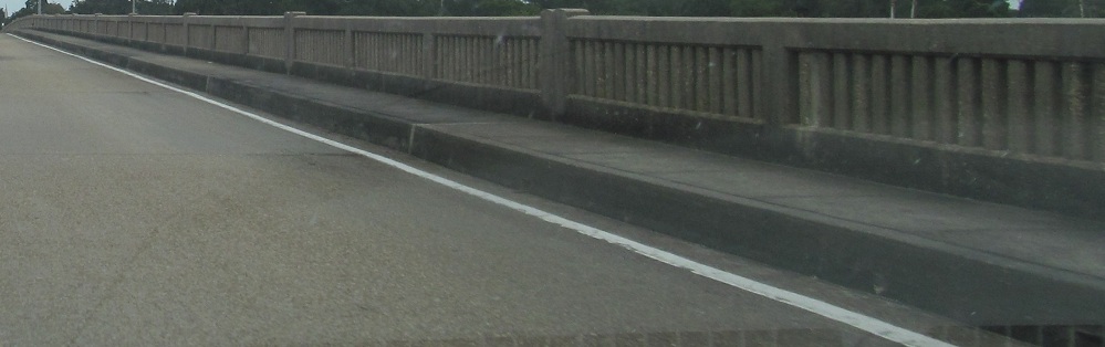
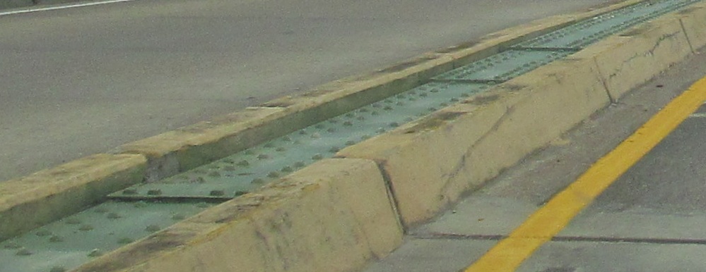
Continuing north across Generals' Island and the Darien River, which starts at the Altamaha but flows into the Atlantic Ocean separately, toward the eponymous town of Darien. Yes, I'm still using that word. The raised curb just adds weight to the bridge, and I have no clue what purpose the steel plates serve, except to be unique.
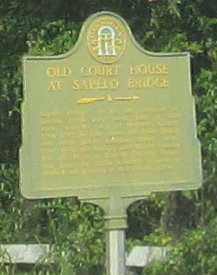
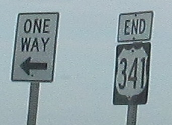
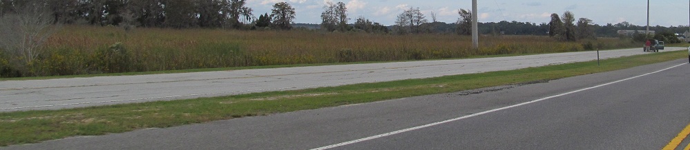
Shedding GA 99 but always, always keeping GA 25, signed or not, US 17 continues north, with the last photo looking south at a historical sign too small to make out, but definitely incorporating an arrow, which is rare, so I'm keeping the photo, along with all of the commas in this caption, because I like commas, and so should you.
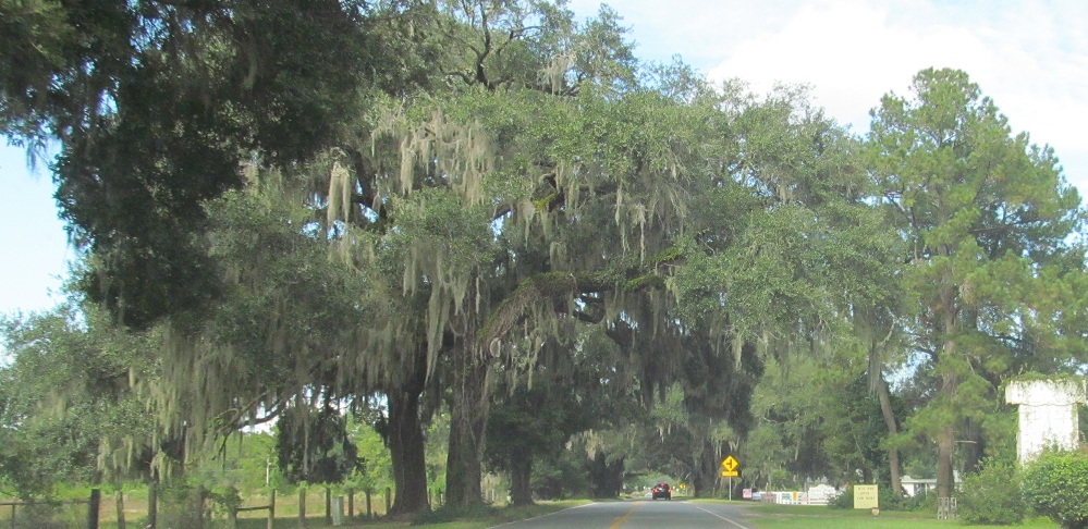
SB state nameage in Eulonia, courtesy Shawn Latta and submitted by Adam Prince.
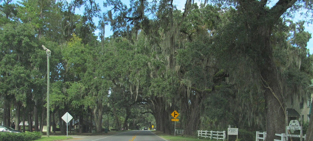
Starting at the majestic oaks in Eulonia and continuing NB.
 SB state nameage in Eulonia, courtesy Shawn Latta and submitted by Adam Prince.