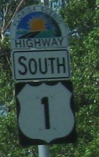
Florida Roads - US 1 - Keys - N. of 7 Mile Br.
 in the Keys - North of Seven Mile Bridge
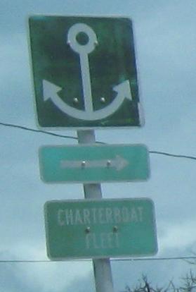
Something old and something awful from Marathon, NB. The anchor points to Sadowski Causeway.
Crossing NB at Tom's Harbor #4 from Grassy Key to Duck Key. The town of Toms Harbor (USGS frowns on apostrophes) is mostly on Duck Key, seen in the middle two photos looking slightly east (the old bridge is on that side). The last photo looks west at Channel Key.
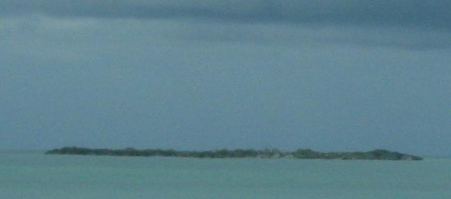
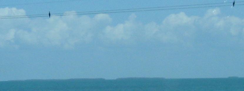
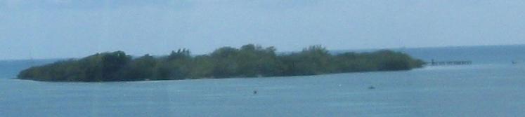
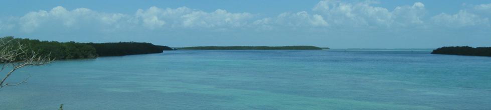
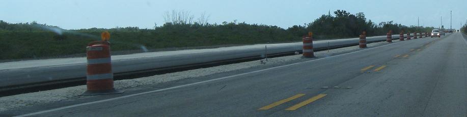
A SB view of Channel Key while traveling through or just beyond the Conch Keys.
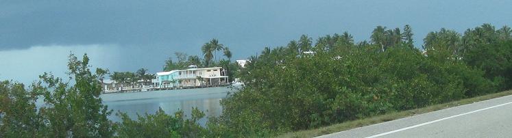
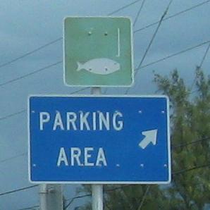
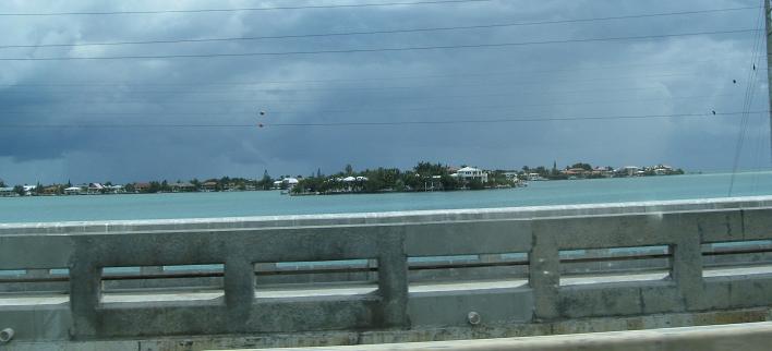
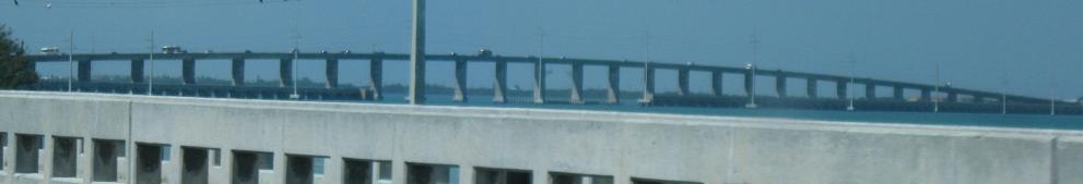
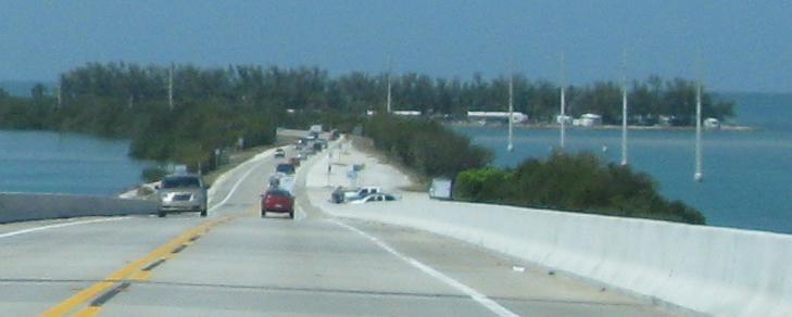
NB on Walker's Island at the connected Conch Key, then continuing toward and onto Long Key.
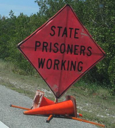
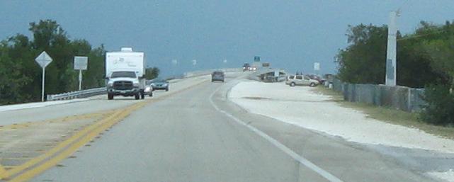
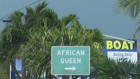
Temporary fluorescent pink sign, a new color nationwide but appearing to be ubiquitous in Florida, here seen SB on Long Key.
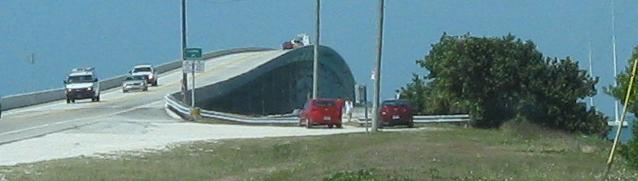
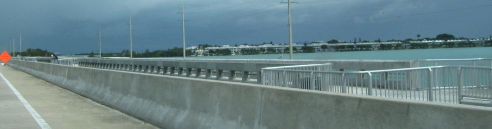
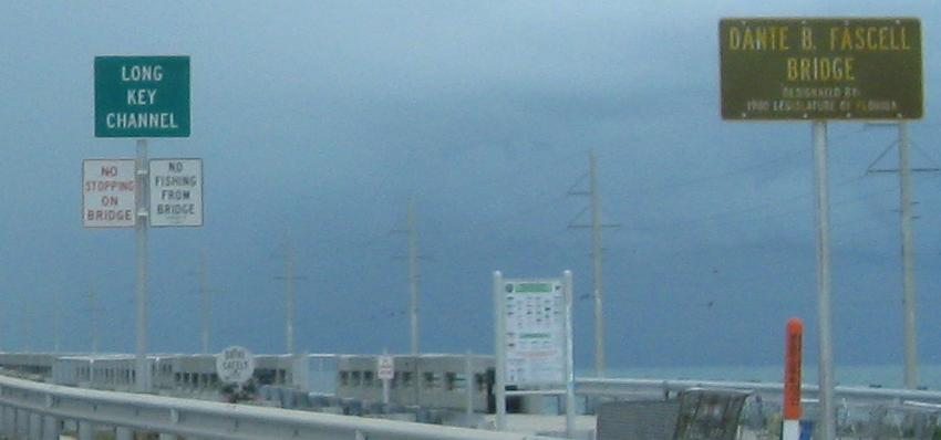
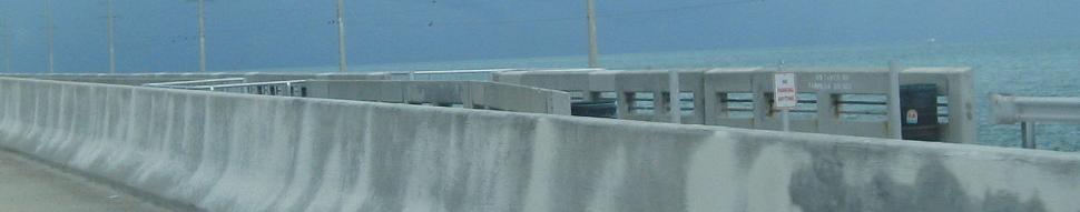
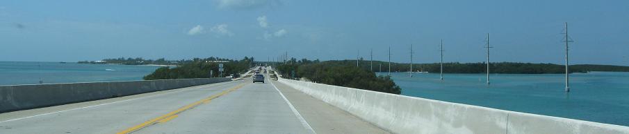
SB, starting off crossing Channel Two (first three photos) from Lower Matecumbe Key to Craig Key and then getting to the bridge in the distance crossing Channel Five to Fiesta Key, looking east and west in the middle. Must have been named in the days of VHF.
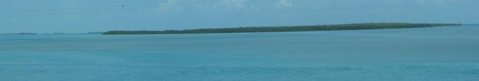
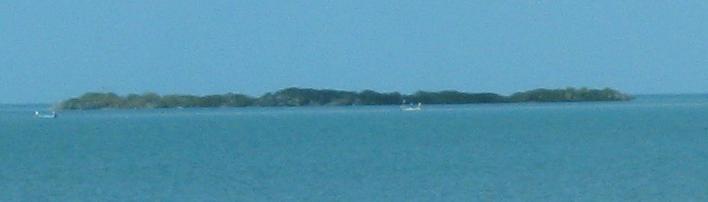
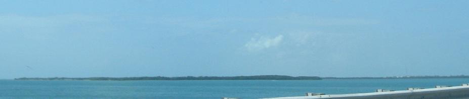
SB crossing the Indian Key Fill from Tea Table Key to Lower Matecumbe Key, looking east at Indian Key and then west at Lignumvitae Key.
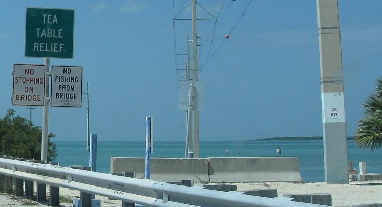
SB in Islamorada at the crossing to Tea Table Key from Upper Matecumbe Key. Islamorada is now known as the Village of Islands because it took over Tea Table and Lower Matecumbe Key (among others).
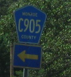
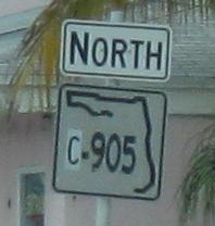
Looking west at Florida Bay and SB on Upper Matecumbe Key. CR 905, originally FL S-905 and hence why "C" is still included in the shield (it was originally patched over "S" on the old state signs), is applied to several sections of old US 1 in the northern Keys. The original FL S-905 and the longest stretch of CR 905 is a spur heading northeast along Key Largo toward Card Sound.
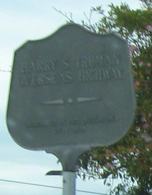
Incredibly, here's one of those old shields still present and patched on the old road, NB in Key Largo. I guess once US 1 was realigned and dualized, the state road was extended on the old Overseas Highway.
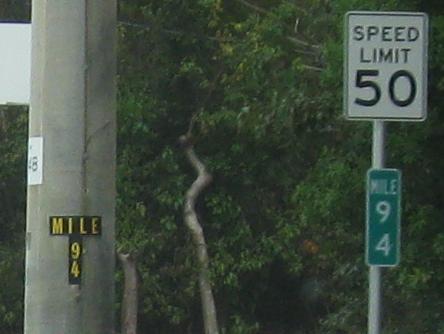
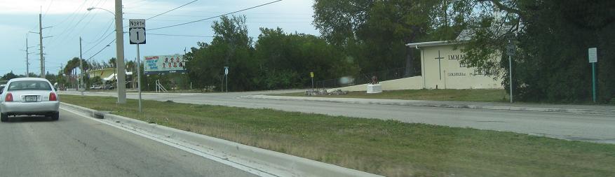
Now that I'm in a large city for the first time since Key West, all the old signs come out. The twin set of milemarkers is from utility poles that parallel US 1, not always this close to the road though.
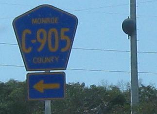
The original beginning of FL S-905, SB just after crossing to Key Largo. Once Monroe County replaced the old state shields, it did not need to keep using the "C".
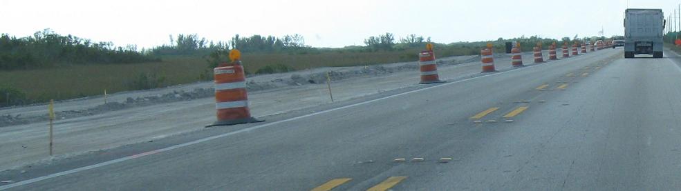
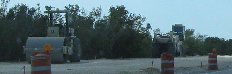
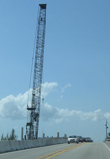
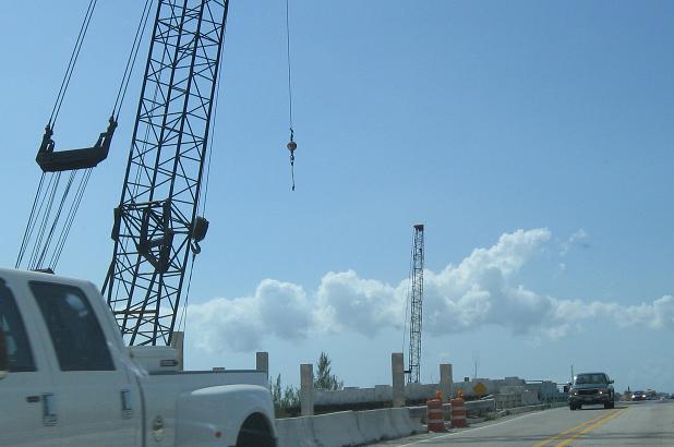
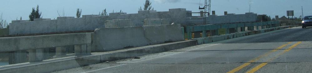
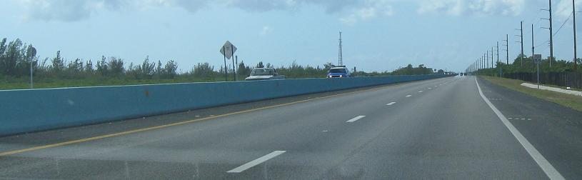
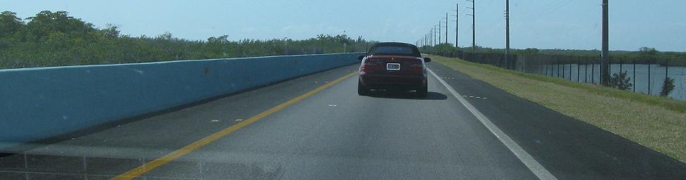
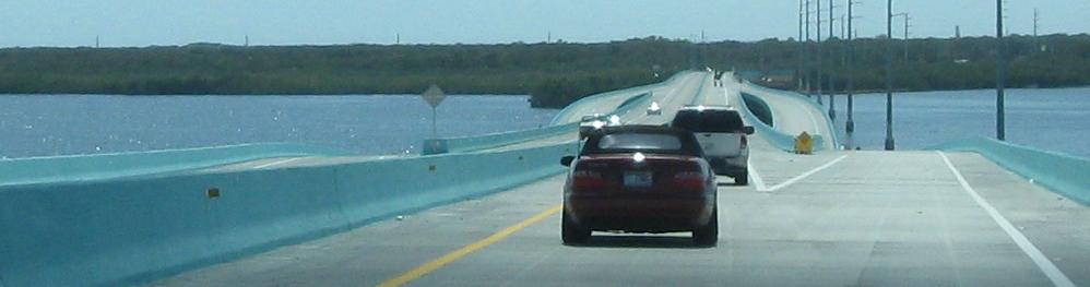
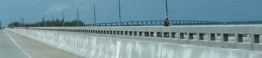
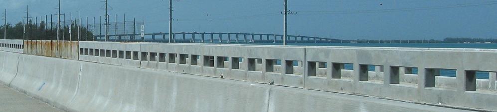
Heading south from the end of civilization through the edge of the Everglades to Cross Key. I can't tell what the result of improvements would be, but I would not mind if they look like the 7th photo (third from the end). Passing lanes are nice. That being said, ditch the blue color. It's just bizarre.
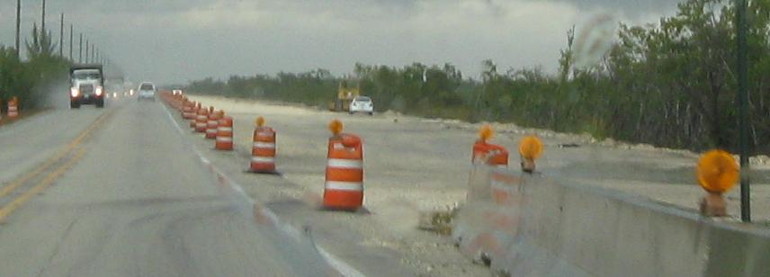
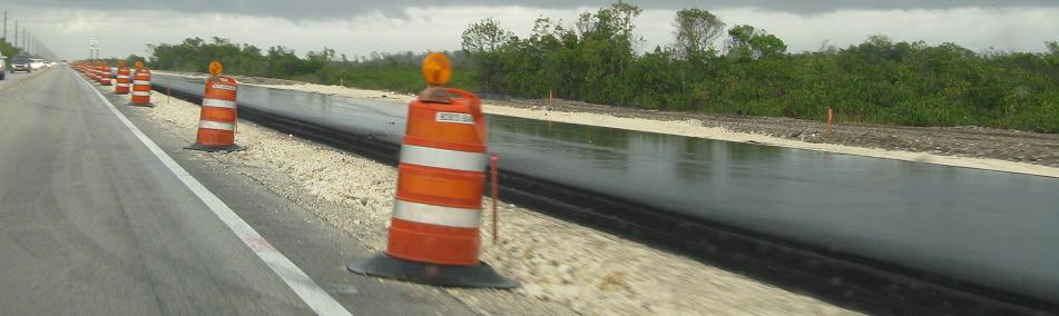
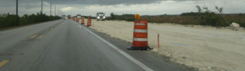
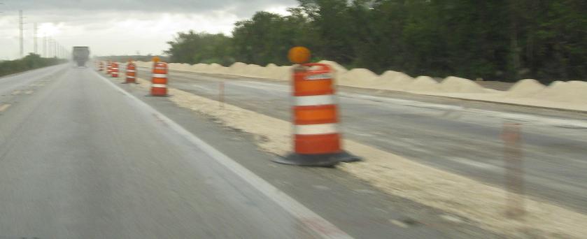
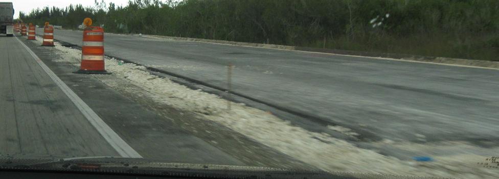
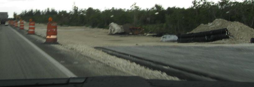
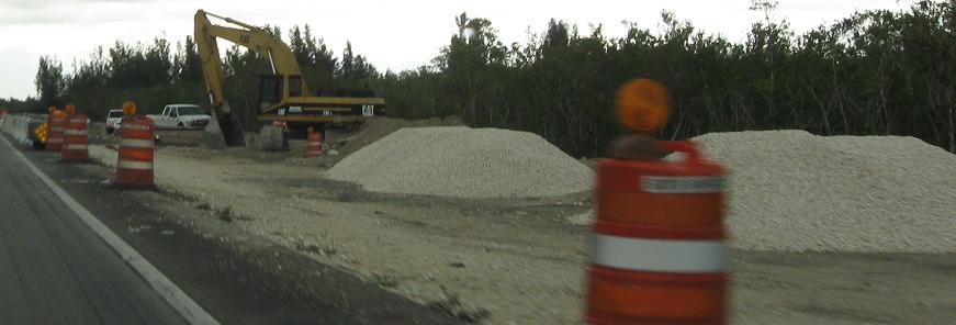
NB through the same construction. Again, it looks like a separate carriageway that could carry two lanes in its own right, but don't be surprised if it turns out to be one lane with a shoulder for much of its length with only one or two two-lane breaks in the constant line of traffic. The principal feature of the upgrade appears to be the median barrier to prevent deaths from angry or frustrated passing.
South to the Seven Mile Bridge
Continue north on US 1 to the mainland
US 1 in the Keys main page
Back to US 1 main page
Back to Florida Roads
Back to Roads