Florida Roads - US 1 - Keys - 7 Mile Br.
US 1 in the Keys - 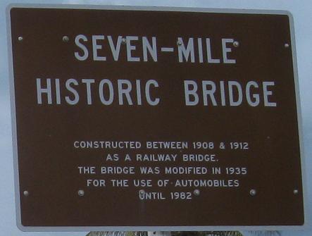
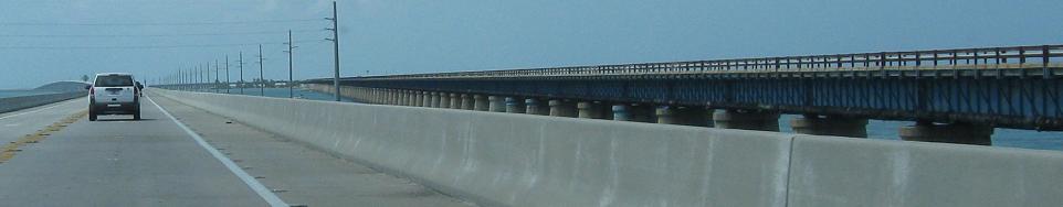
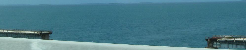
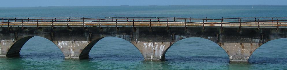
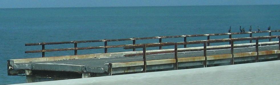
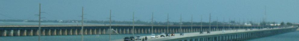
The Seven Mile Bridge is so named because it is the longest bridge, now with no stops although it used to connect to Pigeon Key in the middle. Now the old bridge, which had been originally used by the Florida East Coast Railway in 1912 when it was extended south from Marathon, is kept intact southward from Knight's Key for pedestrian or bicycle access to Pigeon Key. This photo, courtesy J.P. Nasiatka, is before the northern approach to the bridge was blocked off, so conceivably it could still be used by automotive traffic at that point.
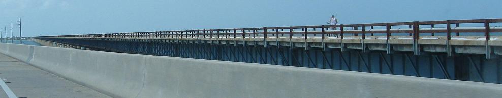
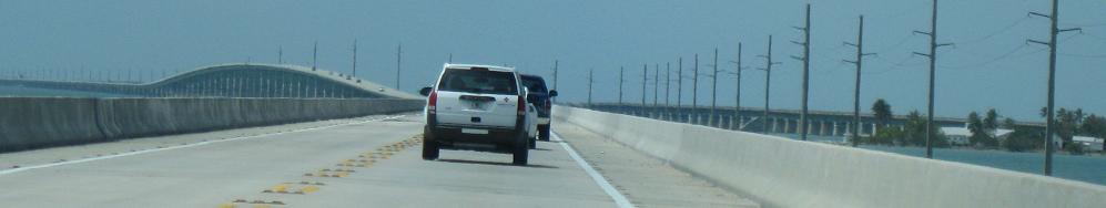
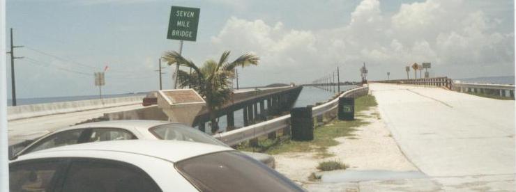
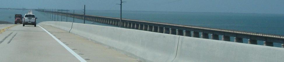
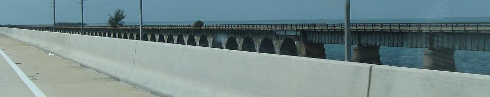
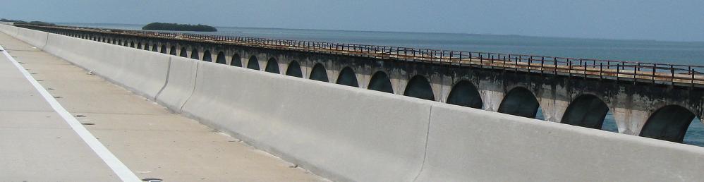
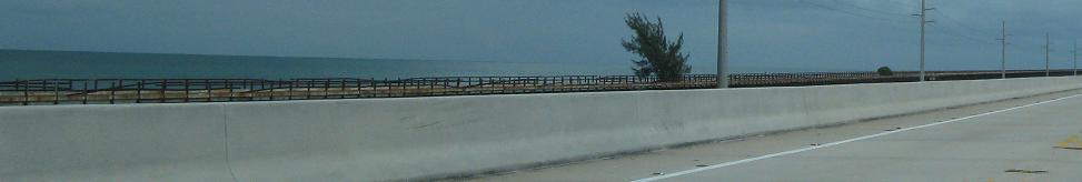
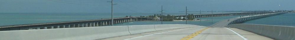
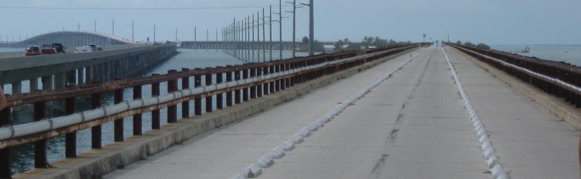
Southbound on the current bridge, glancing over to the old one. The new one is straighter and thus shorter than the totality of the old bridge, but if you only count clear span between land, the new one is longer because it doesn't pass over any keys.
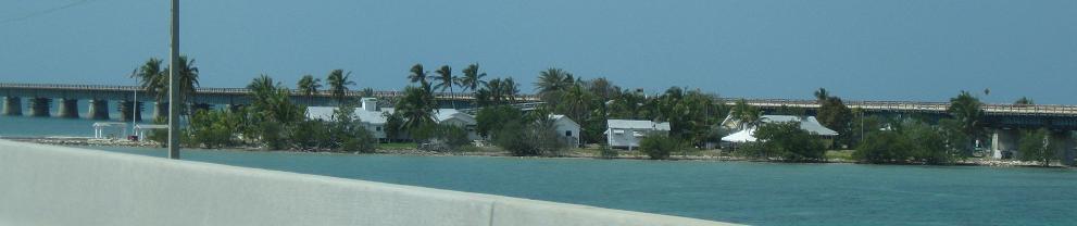
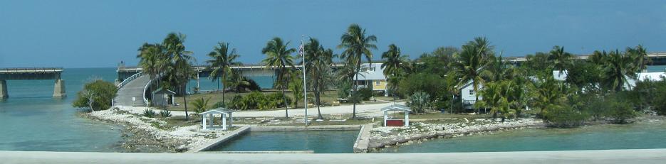
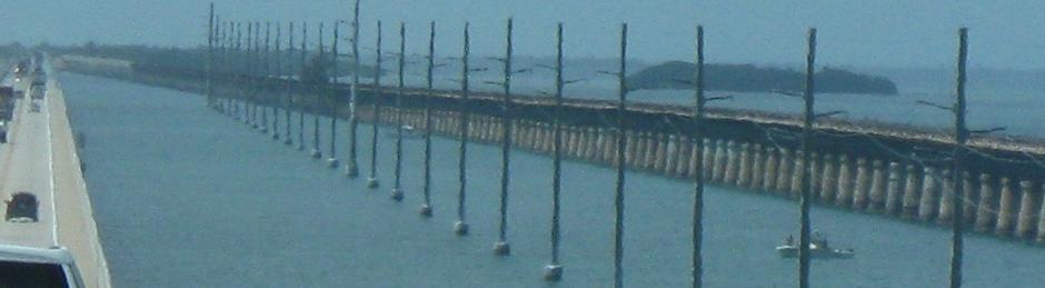
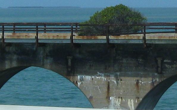
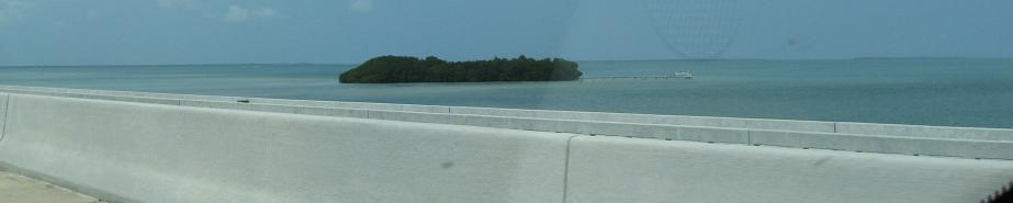
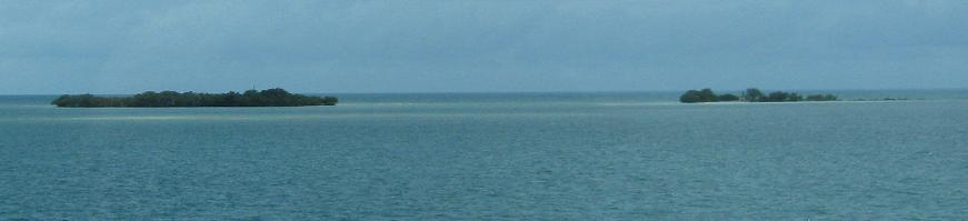
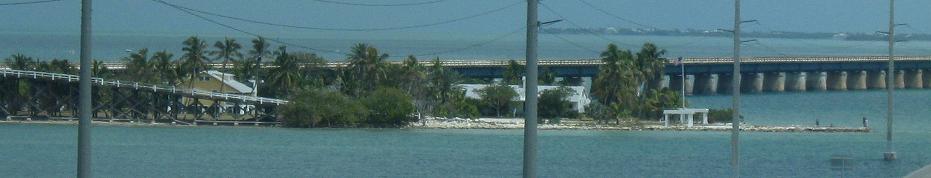
Looking east toward the Atlantic Ocean, then west at Pigeon Key, which temporarily housed 450 workers for the Florida East Coast Railway. Now it just has a museum and some administrative offices, though many of the buildings are original to the work camp period or the subsequent tenure of the island as railway maintenance headquarters.
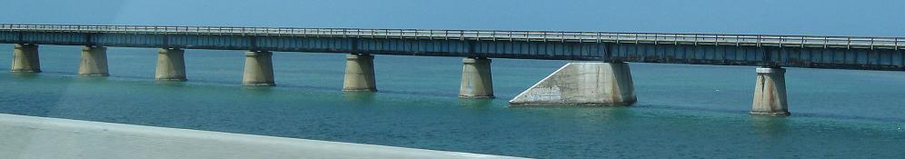
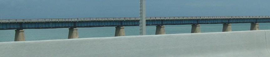
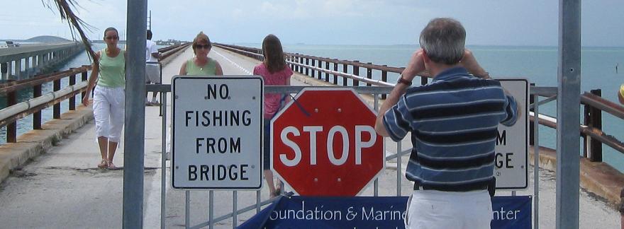
A strategic section has been removed to prevent traffic from using the old bridge as a through route or (perish the thought!) walking/biking from Little Duck Key. Actually, this was the old railroad swing span (also there while this was US 1), so its removal serves the dual purpose of letting marine traffic through permanently.
Continuing southbound with one more look eastward.
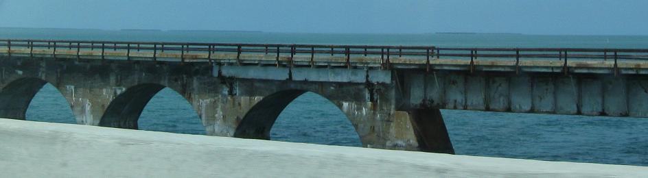
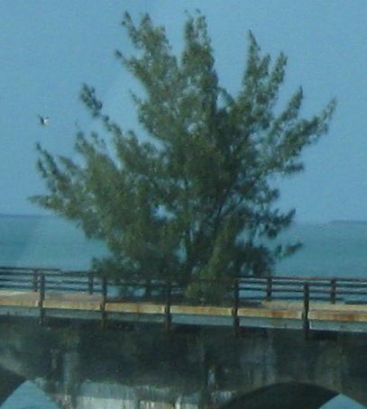
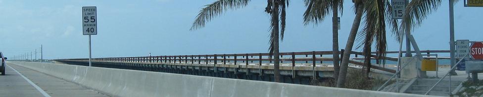
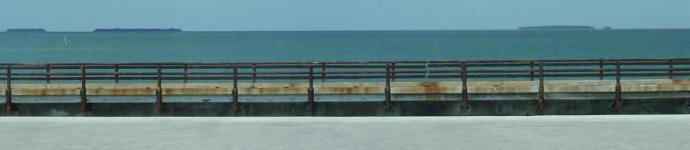
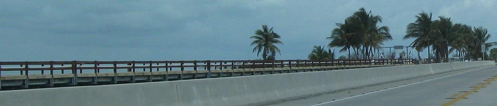
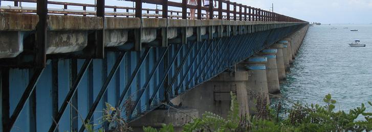
A couple of miles from Little Duck Key, the steel beams give way to a prettier concrete arch design, which clearly reflects early railroad bridge design. The road hasn't been abandoned for all that long (it was bypassed in 1982) despite the appearance of the ancient guiderail, so these are some opportunistic and fast-growing trees. Either birds or the wind happened to sow seeds this far, but I have no idea what nutrition they're finding to grow so well. As you see, the southern end of the bridge has been refurbished as a boring pier, definitively cut off from the dangerous but much more interesting spans to the north.
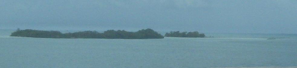
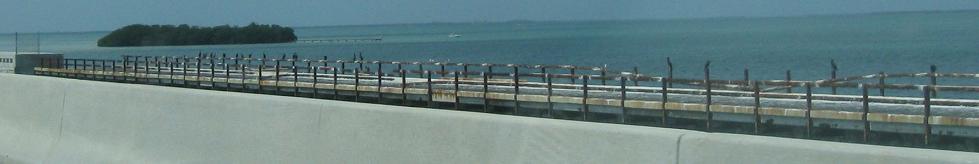
Coming back northbound and one last glance to the east at the dual-island Molasses Key.
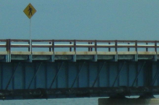
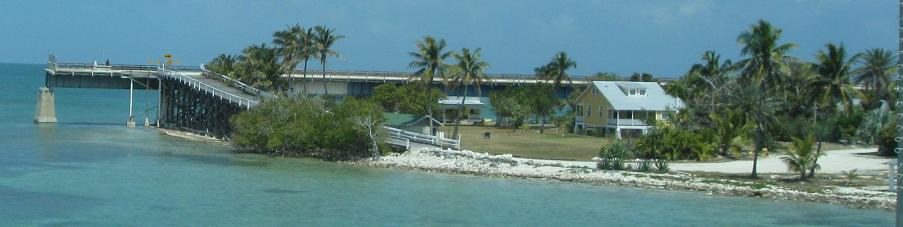
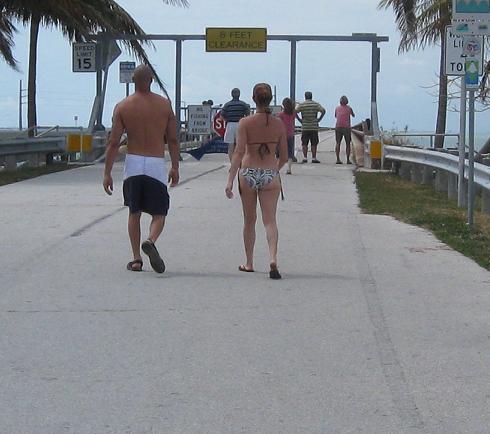
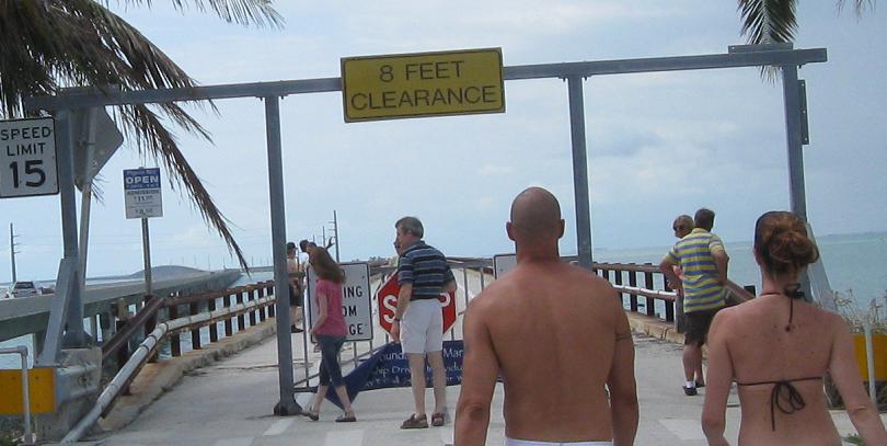
Finishing the northbound drive past Pigeon Key. The pedestrian sign is rather unnecessary when no motorized vehicles are allowed on the bridge (except maybe for a couple of vehicles needed for island business).
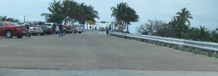
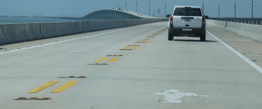
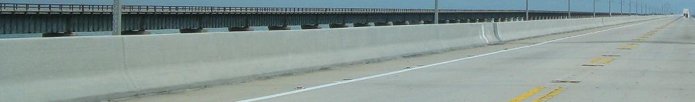
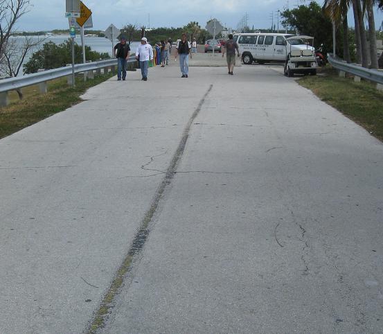
Walking up to the northern beginning of the Seven Mile Bridge, which clearly looks much different than it did at the top of the page when J.P. photographed it. The parking lot still has centerline stripes and reflectors as well as the remnants of edgeline stripes.
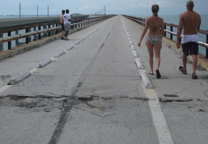
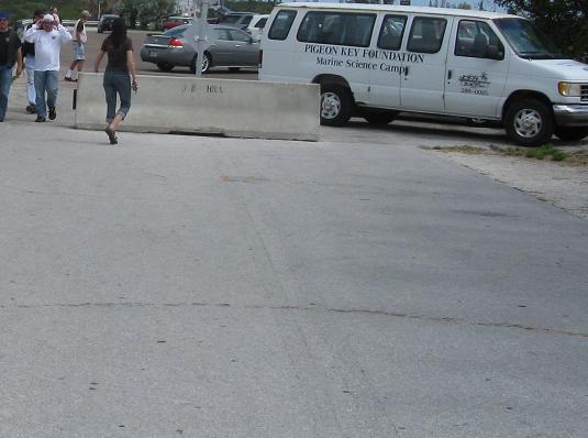
The centerline persists onto the bridge and you can see where it allowed passing (now a no-no even though the new bridge is wider and, at least compared to the middle span of the old bridge, much safer). A good way to force motorized traffic to be limited only to what the island needs, besides gating the entrance to the bridge, is to have it narrowed to one lane and forcibly prevent vehicles from moving over. Well, what happens if a van (or any other car) is 3/4 of the way off the island and an ambulance needs to get there NOW?
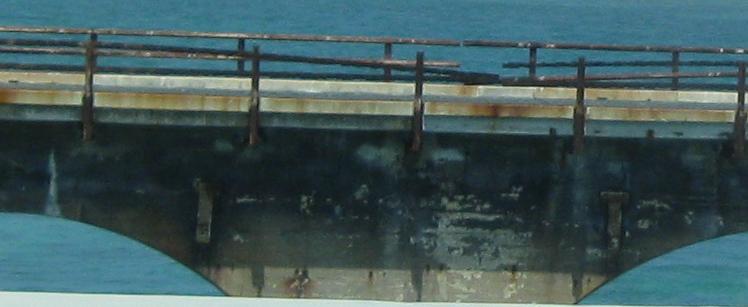
The nondescript underside of the bridge.
Walking back north on former US 1 (and the former Florida East Coast Railway) to the parking lot.
South to the Spanish Channel and Bahia Honda Bridges
Continue north on US 1
US 1 in the Keys main page
Back to US 1 main page
Back to Florida Roads
Back to Roads