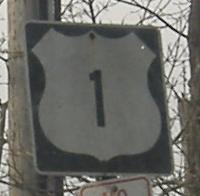
Connecticut Roads - US 1 - N of New Haven
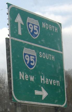
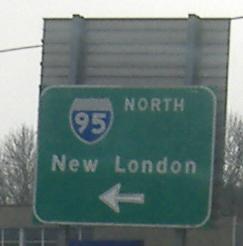
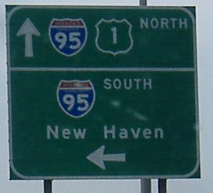
 north of New Haven
NB across the Quinnipiac River into East Haven. The Tomlinson Bridge was actually constructed in 2002, but looks far older. The reason is that it was a reconstruction of the former bridge, although it ended up replacing it entirely.
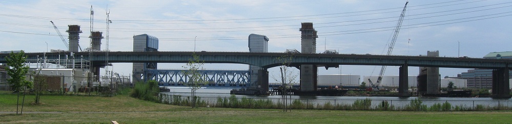
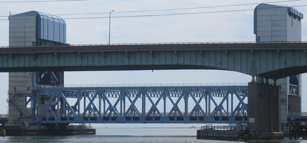
More views of the bridge, from Criscuolo Park.
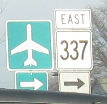
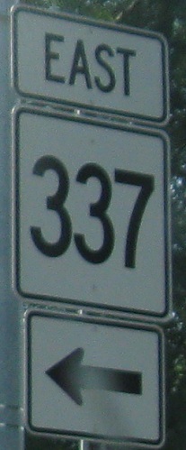 SB in East Haven. There is no MA 337 or ME 337, so this must be an error.
US 1 NB, running right next to I-95 NB at I-95 Exit 51 in East Haven, courtesy Doug Kerr, and then my SB photo at the same exit.
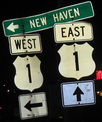
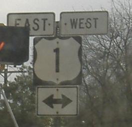
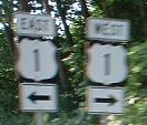
Some of those ever-dwindling E/W shields from the 1980s or earlier when Connecticut still signed US 1 that way, at the end of CT 100 SB. To be fair, US 1 does run that way through the state - and I-95, though that road was never cross-signed - but it made CT the only state to sign it other than N/S, compared to a route like US 202 that switches directions constantly.
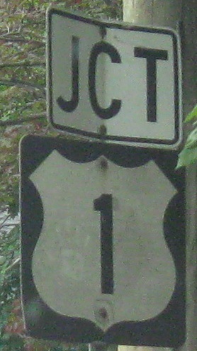
From the east-west era, but with only a JCT to show for it, at the east end of CT 142.
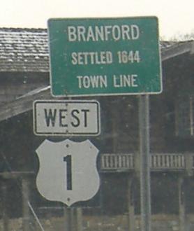
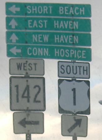
Assorted old shields, signs, and assemblies southbound, passing I-95 Exit 57 in Guilford and Exit 55 in Branford. When US 1 was signed East-West (it still runs east-west), it would make sense for West to be to the left of West, much more than the current situation in the last photo.
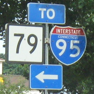
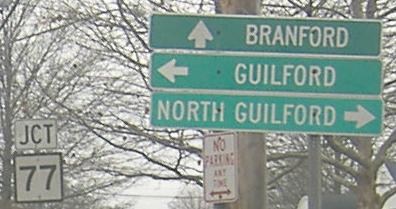
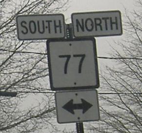
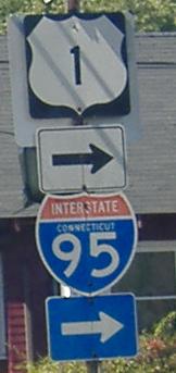
NB from CT 77 to CT 79. The "To" and arrow belong over the I-95 shield only.
Goose Lane, looking north from US 1 in Guilford, at I-95 Exit 59, and then what I believe is CT 79 SB.
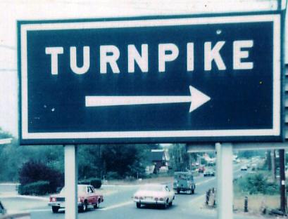
Possibly at CT 79, SB in Madison in 1977 courtesy Michael Summa. This is the original generation of CT highway signage, at least along the Connecticut Turnpike (I-95), since replaced by the reflective-background signs with rounder corners that are still on many highways today.
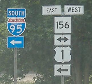
SB at CT 156 - even if US 1 were still east-west, this assembly should have WEST 1 pointing to the left, to get to I-95 and the bridge. Old US 1 continues as a long driveway through the trees ahead.
From CT 156 EB/US 1 SB on that one-block jog.
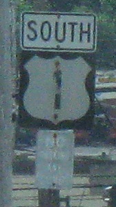
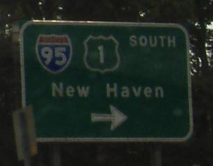
US 1 ostensibly was converted to a N-S road in CT sometime after the turn of the millenium, though eastern CT has stubbornly refused to replace signage (like this one off of I-95 SB), leaving some roadgeeks to wonder if maybe the eastern part of the state remains the only part of the nation not to sign US 1 as north/south. To be fair, it's basically an east-west road in the state, but ConnDOT should get off its butt and finish up.
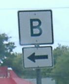
SB in East Lyme, we come to Connecticut's only lettered route. Actually, CT B is a well-signed bypass for certain vehicles to bypass the CT 156 drawbridge via CT 161 and US 1 in the East Lyme and Waterford area - the bridge was replaced with a newer one recently, but still has a draw span.
NB in Waterford, where old green signs helps motorists at the Willetts Avenue fork, but the old EAST banner doesn't help much at all.
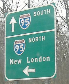
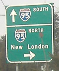
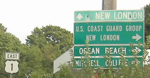
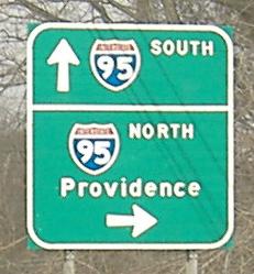
On the SB frontage road for I-95 through New London, which just happens to be taking US 1 from the Gold Star Memorial Bridge back toward its old alignment (the old bridge was taken down once I-95 went in, somewhat unnecessarily).
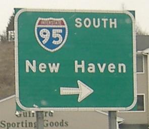
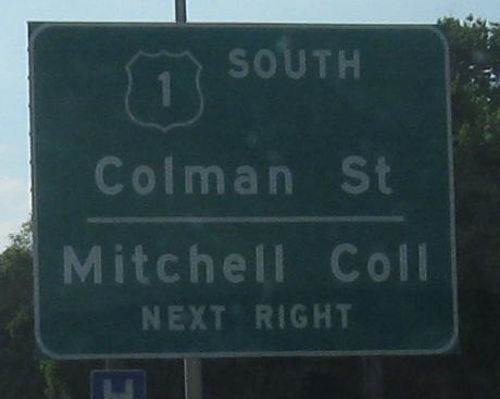
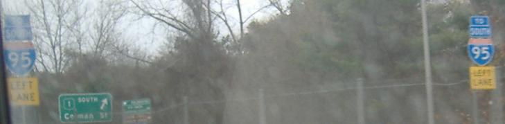
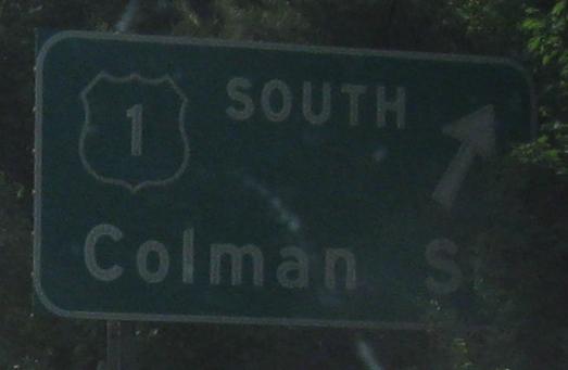
Colman Street SB in New London, which also happens to be where US 1 SB just turned off of the I-95 alignment. In the first photo, US 1 SB turns from the left to straight ahead, where the second photo comes up, and if you make the turn, you see the third sign on the left (also the US 1 NB reassurance).
 NB, same spot.
US 1 SB at CT 349, which ends straightaway at I-95; the rest of 349 is accessed via the next left.
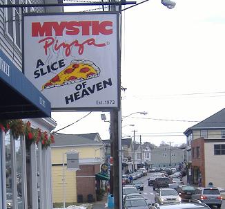
The famous restaurant, taken NB heading into downtown West Mystic, and then old town signs on Bank St. next to the restaurant. The pizza wasn't that bad.
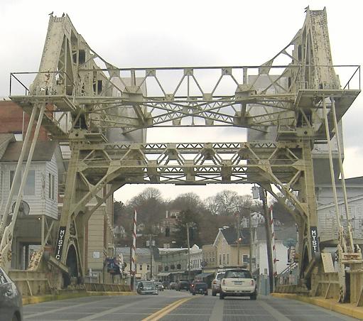
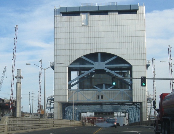
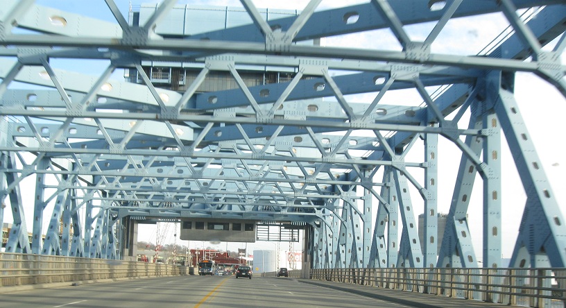
Mystic drawbridge, southbound.
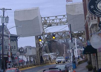
And northbound, with the amazingly scary counterweights that look like they're going to crush the Mystic waterfront someday soon.
Old US 1 bridges
I-91/I-95/CT 34 interchange construction (some photos from US 1)
Continue south on US 1
Back to US 1 main page
Into Rhode Island on US 1
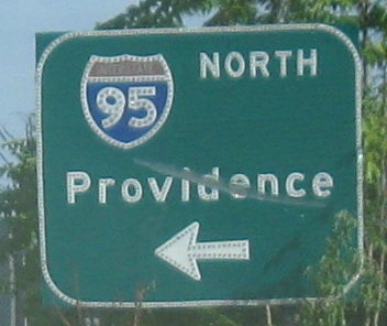
Onto I-95
Onto CT 77
Onto CT 184
Back to Connecticut Roads
Back to Roads