Connecticut Roads - I-384

I-384 was meant to be I-84, extending east toward Providence. It's the largest of the three sections of freeway built; the other two are the Willimantic Bypass on US 6 and the US 6 freeway in Rhode Island. I-84 may also have used the end of the Connecticut Turnpike, which is now numbered secret CT 695. Once it became clear I-84 wouldn't fly, it was switched with I-86 (current I-84 from I-384 into Massachusetts), and this became 384.

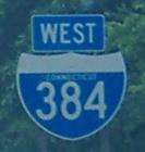
The first EB shield, as soon as all the traffic for I-384 has been assembled into one roadway and before it even leaves the I-84 mainline. (The EB shield at the top of the page is still visible from the mainline, too.) I separate this here so that you can marvel at the CT-style 3, which is becoming a rarity on signs. In fact, given how hard it is to spot these, I wonder if this is an old spec that a contractor had, or if it's actually an original 1970's I-384 shield that happened not to weather.
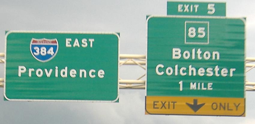
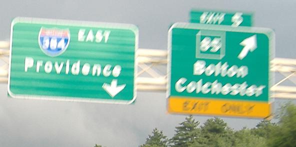
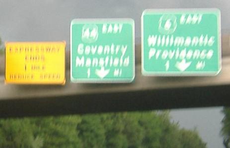

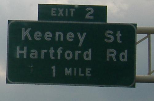
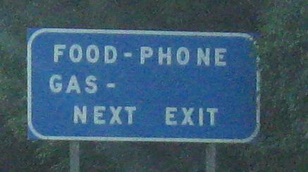
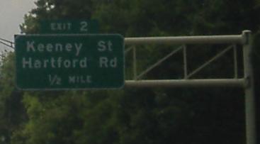
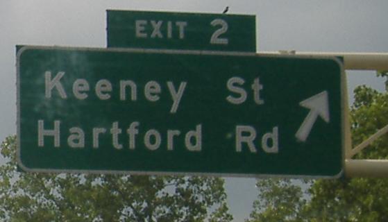
That's all of the eastbound signage; sorry for the blurriness, but a thunderstorm was looming and making lighting miserable. The photo called eend.jpg (i.e. the eastern end of I-384) says the expressway ends in half a mile. When US 6/44 join the freeway, I-384 officially ends, but that last half-mile of freeway would have become part of I-84.
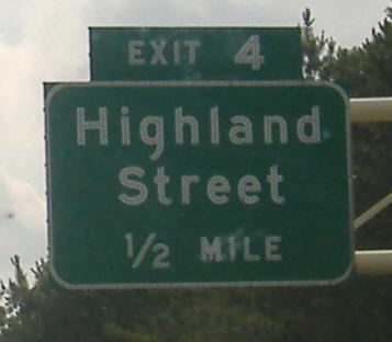
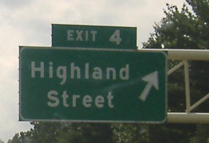

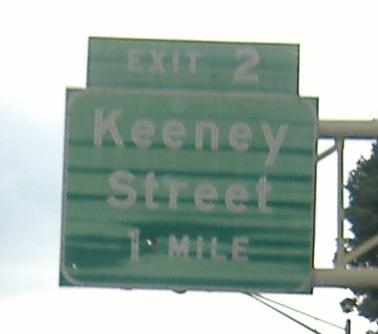
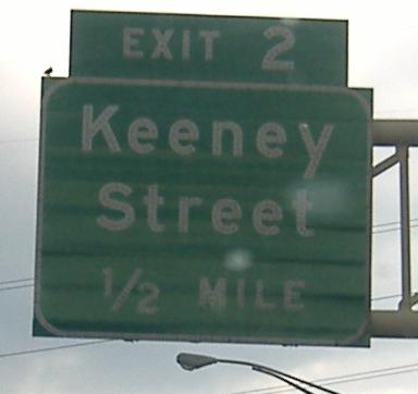
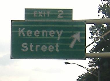
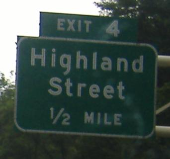
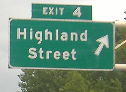
And all of the westbound signage, except the non-button copy signs leading up to Exit 1. Doug Kerr was kind enough to provide an example of the latter, the final photo in the run.

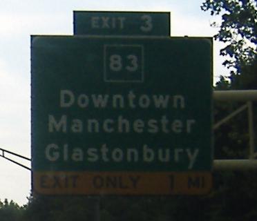
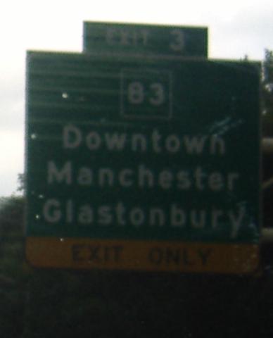
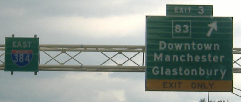
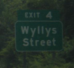
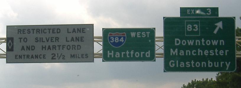
Charter Oak St. WB approaching CT 83 at I-384 Exit 3.
Onto I-84
To I-291
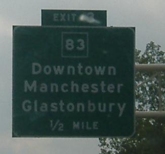
Exit 3 to CT 83
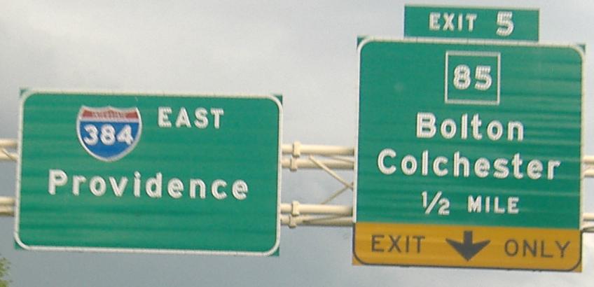
Onto US 44
Onto US 6
I-384 on Steven Anderson's nycroads.com
Back to CT Roads
Back to Roads