Connecticut Roads - CT 2 - Old Route 2
Old CT 2 (Glastonbury-Marlborough)
Most of the original CT 2 from Hartford to Norwich is either gone (overlaid by the new freeway) or is intact as "Business Route" (with such names as New London Tpk. and Main St.). There is one piece, in the woods east of Glastonbury, that is closed to traffic but still traversable. As you will see, it is still in fairly good condition.
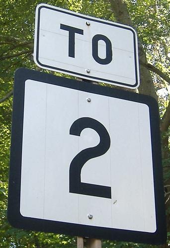
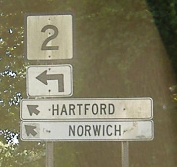
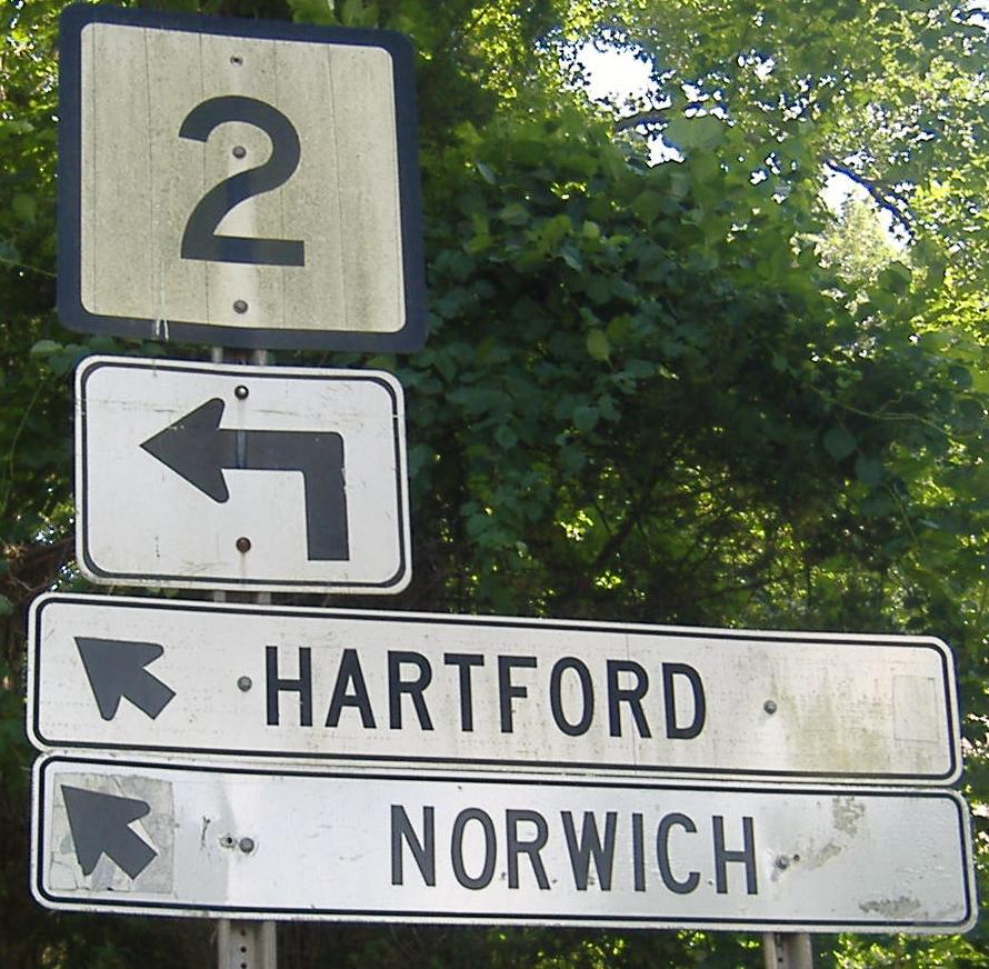
This is the New London Turnpike EB where CT 83 once began. Now, with the CT 2 freeway just to the north, 83 begins there instead, leaving these relic white signs intact from when the freeway was first opened. Click for a closeup of the entire assembly. As you can see by clicking, Norwich used to be signed straight ahead, which would be the Exit 11 onramp from Wassuc Road, implying that Exit 10 used to only be a half-diamond (WB-on, EB-off).
Past Manchester Rd. and the southern end of CT 83, the old Turnpike veers toward the freeway and disappears as a dead end. However, one can follow Wassuc Rd. past the Exit 11 EB onramp, curve over CT 2, and drop down onto Toll Gate Road. At this point, Toll Gate Road is the old alignment of CT 2, and proceeds for a few hundred feet before meeting the Exit 11 WB offramp. It turns into a dead-end, and the photo trail picks up from that end:
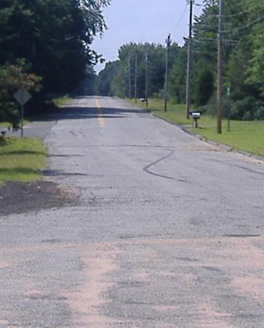
Looking back along Toll Gate Rd.
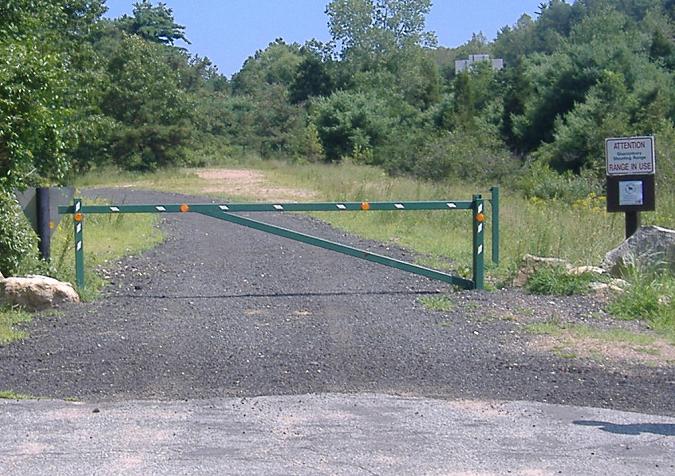
Looking east onto the beginning of the abandoned CT 2. As the sign states, there is an active rifle range near the old highway, although people fortunately fire away from the road (and on the day I visited, no one was firing anything at all). The dirt patch straight ahead (as opposed to the pavement) was an old connection from the freeway back to the surface road as it was built in stages. (This happens again to the east at what is now the double-dead end of Polly Rd. west of Norwichtown.) Thanks to Stephen Bailey for setting me straight on this.
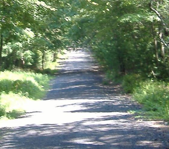
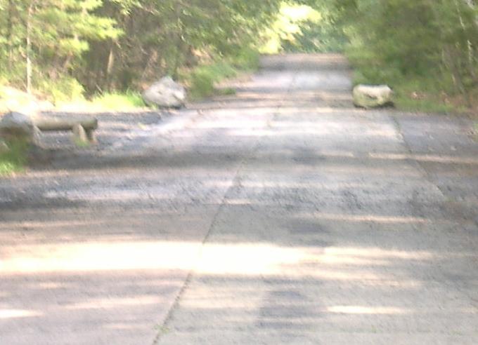
Proceeding eastward (well, southeastward) along the old highway, newish asphalt gives way to vintage concrete that has seen its share of vintage automotive traffic.
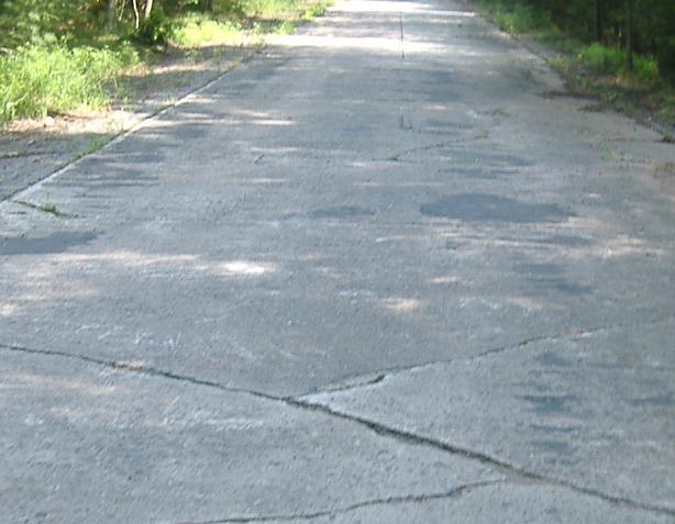
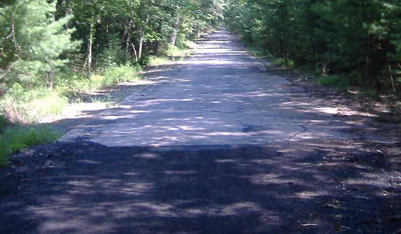
In the foreground, concrete slabs span the width of the road, while in the background, slabs come to a seam in the middle of the road. I don't know what the significance of this is, or whether this was done when the freeway was constructed for some reason or predates it by a significant margin. Perhaps even 40-50 years ago, concrete transitioned to asphalt at this spot.
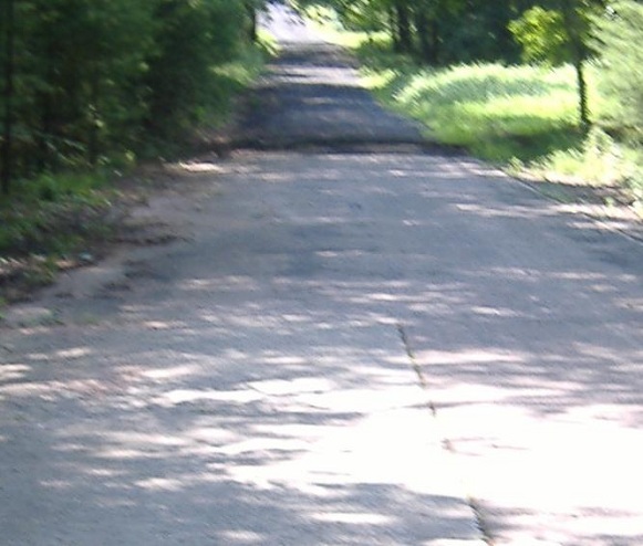
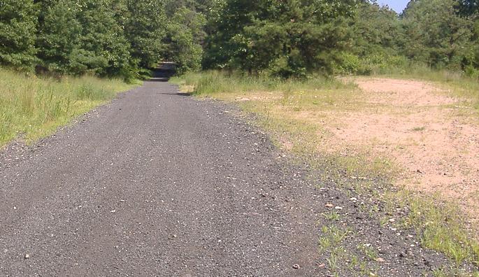
One other glance westward, before we continue east as far as we're going (the we includes a few other roadgeeks, most of whom weren't as intrepid or fleet of foot as I, and didn't want to walk to the far end of the old alignment).
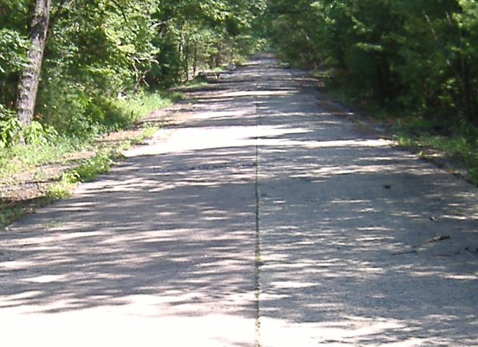
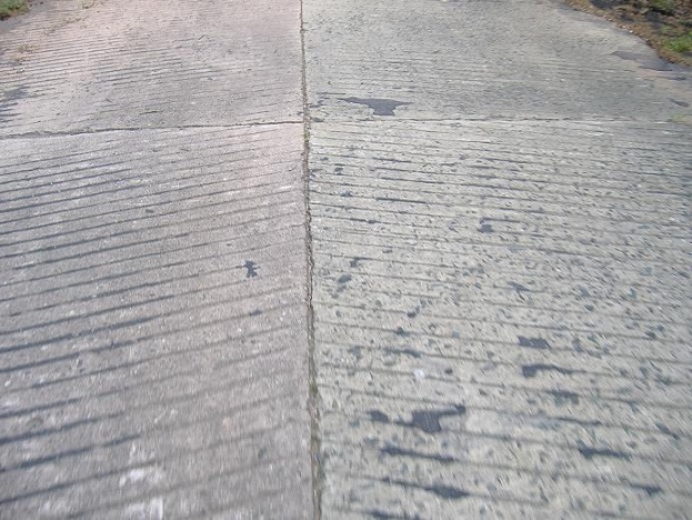
Three more photos continuing eastward, with traction ridges shown on one of the slabs. I have no way of knowing when these grooves were added to the slab.
Onto CT 2 EB
Onto CT 2 WB
Back to CT 2 main page
Back to CT Roads
Back to Roads