Colorado Roads - US 40/287/24/BL I-70
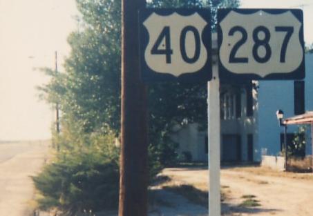
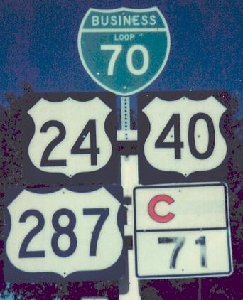
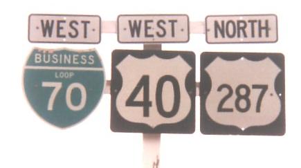
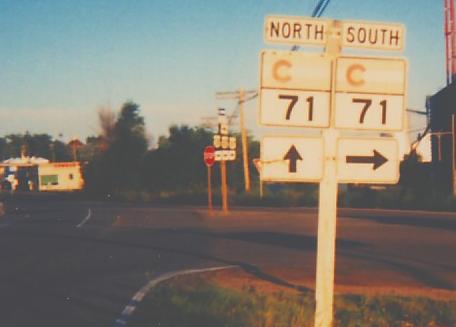
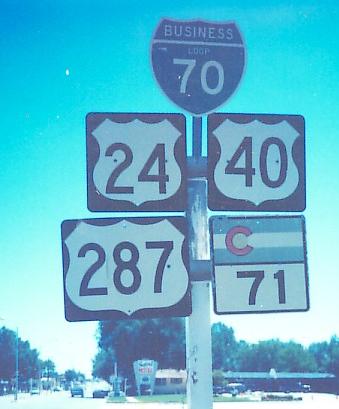
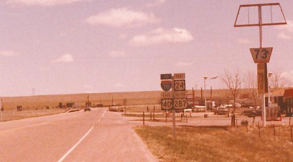
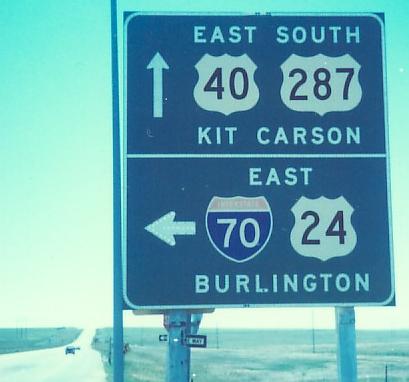
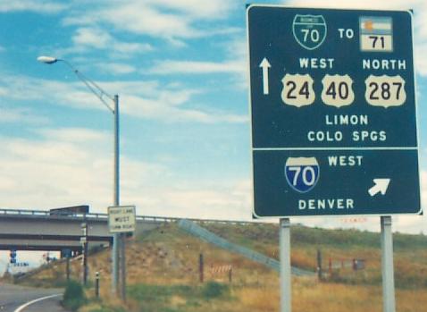
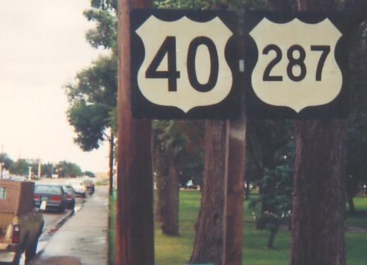
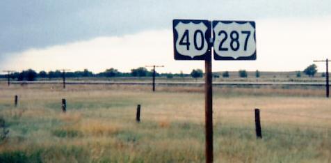
All photos on this page courtesy Michael Summa. The first one above was taken WB leaving Hugo in 1987. Between Denver and Kit Carson, US 40/287 start out with Business Loop I-70, then join I-70 for a long ride to Limon, part of which is shared with US 36; photos of that are on the I-70 page linked at bottom. Limon is where all the fun happens, with another Business Loop as well as US 24 along for the ride, and briefly C-71 for the situation in the second photo above (WB, 1985).
WB (and NB) in Aurora after leaving I-70 in the mid-1980's, to a wooden sign near C-32.
EB at and past C-32 in the late 1980's.
The last photo from this part of the multiplex, EB (and SB) leaving Aurora with a new sign in the foreground but an old US 287 shield in the background.
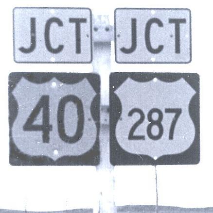
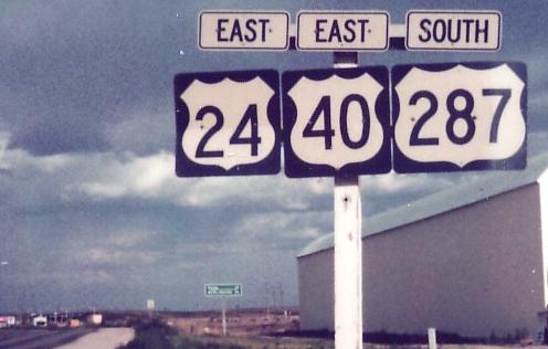
Cheating a little. This was on C-118 EB in 1983 at River Bend, where it meets I-70 along with these two routes. The signs don't appear to be old enough to predate I-70, so I wonder why there's no 70 shield to join them.
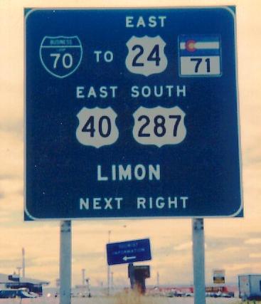
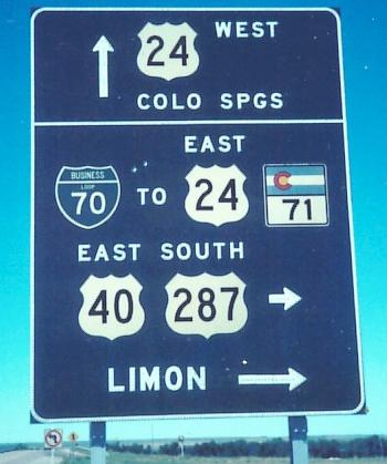
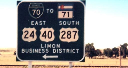
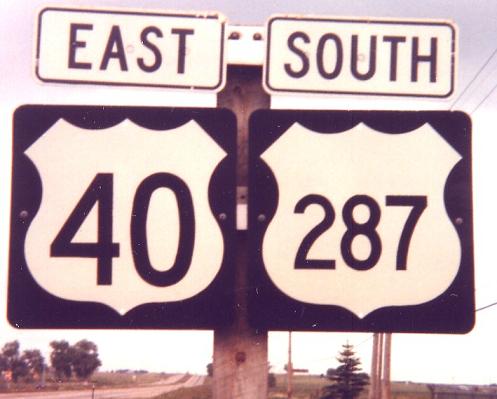
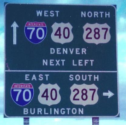
US 40/287 finally leave I-70 on a little connector known as US 24 SPUR, but signed for the most part as if it's the US 24 mainline. US 24 actually runs through Limon before joining the highway. So of these three EB/SB signs, which follow 40/287 down the old offramp (there's no longer an interchange here, just an intersection), only the last one is correct in listing US 24 EB among the actual routes, not a "TO". Photos taken in 1983.
The other direction of that connector, 1986. Again, you are already on US 40/287 WB/NB.
EB into Limon in 1987. Obviously, this was once the main east-west route.
WB on either side of town, 1985.
Continuing on to leave Limon, mostly in 1987 (third photo 1986, last photo 1985). The "S" is upside-down in the first photo, something I wouldn't have caught but Michael noted. See that TO I-70 in the fourth photo? That's what Business Loop shields are for.
WB in the same spot (I-70 Exit 361), 1987.
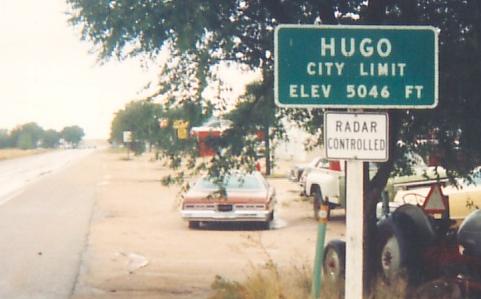
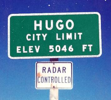
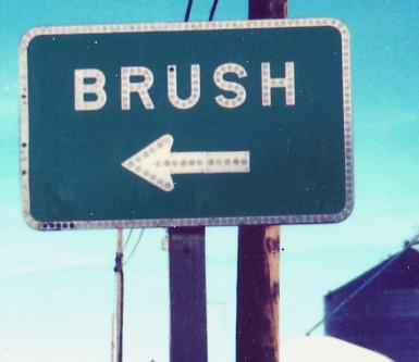
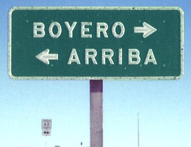
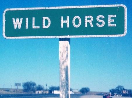
Back to Hugo (remember the first photo on the page), all EB in 1987. First click on the first photo for closeup. Next, contrast old and new in the third and fourth photos, and then wonder what's going on in the fifth photo, because if you look at a map now there's nowhere that US 40/287 bear left between here and Kit Carson. The trick is to follow the railroad, because US 40/287 originally did. In 1987, the old road still connected into 40/287 just southeast of Hugo, but now the last few miles are abandoned. Look south to Lincoln CR 39, which takes the old highway through Boyero and Aroya and merges into the current one west of Wild Horse. If you follow it north along the railroad, you'll see it stays a constant distance away even as it turns into nothing more than a somewhat cleared grassy path, and then suddenly, in Hugo, US 40/287 are that same distance away. Anywhere 40/287 stray away from the railroad, chances are there's old alignment goodness to be found (also true of many old highways in the Midwest).
EB in 1989 from Lincoln CR 63 (notice the shield in the background) to Aroya.
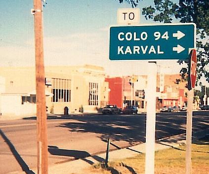
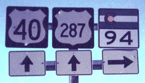
C-94 EB ending at the realigned highway outside Aroya in 1985. I had thought until seeing the first sign that only California stretched its US shields that much, but in Colorado it's because even the regular 2-digit shield is a little wider than it is tall, at least on old white signs like this.
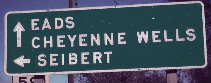
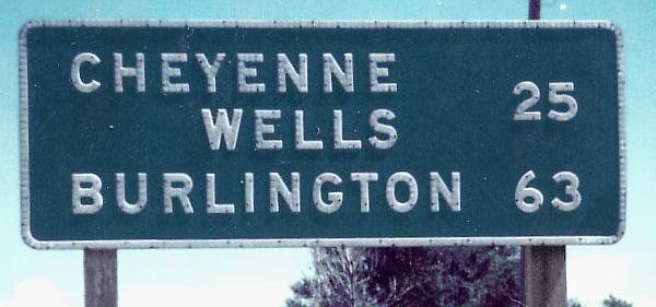
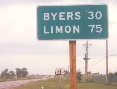
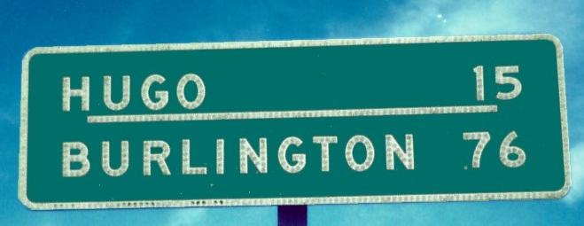
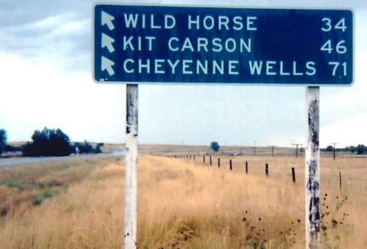
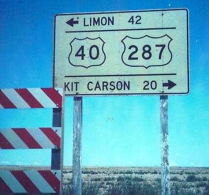
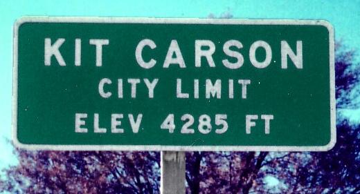
EB into Kit Carson at C-59 and then leaving Kit Carson just shy of the US 40/287 breakup, 1985. The distance sign would be more appropriate on US 385, since that's where Burlington is (and it crosses US 40 in Cheyenne Wells), but Sheridan Lake is about two miles farther away, and CDOT only put distance signs at city limits and major junctions.
WB up to C-59, 1989.
Onto I-70 and 70/US 40/287
Onto US 40 alone
Onto US 287 alone
Onto US 24 alone
C-40, old US 40/287
Onto C-71
Onto C-59
Back to Colorado Roads
Back to Roads