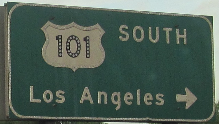
California Roads - US 101 SB - Oxnard-Calabasas
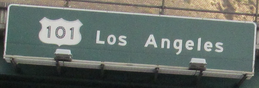
US 101 southbound, Oxnard to Calabasas
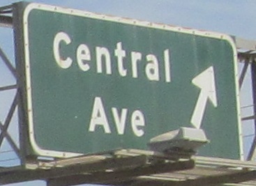
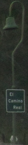
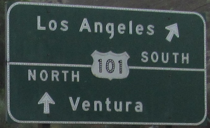
Things that are historic, in order: Santa Monica Mountains (24 million years), Conejo Mountain (14 million years), El Camino Real (300 years), button copy (30-60 years). The lamp is actually a mission bell, since El Camino Real linked the Spanish missions in Alta California.
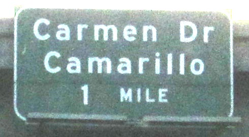
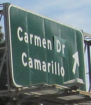
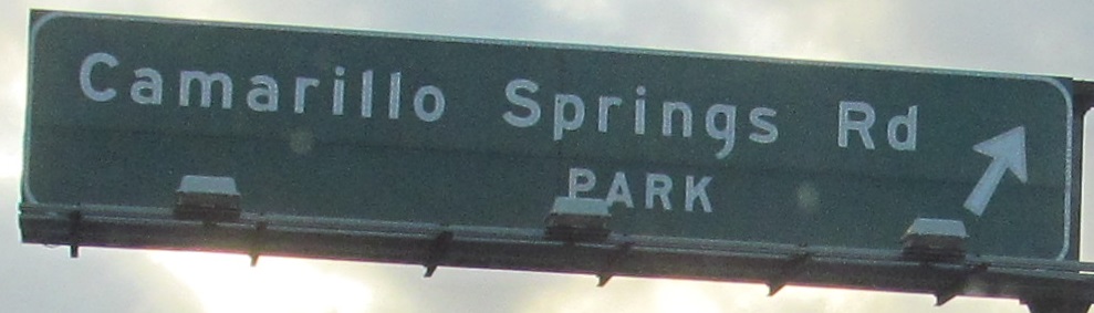
Camarillo Springs Rd. NB and SB at Exit 50. A lot of exits have parks, so I don't know why this one's so special.
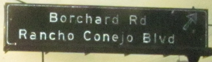
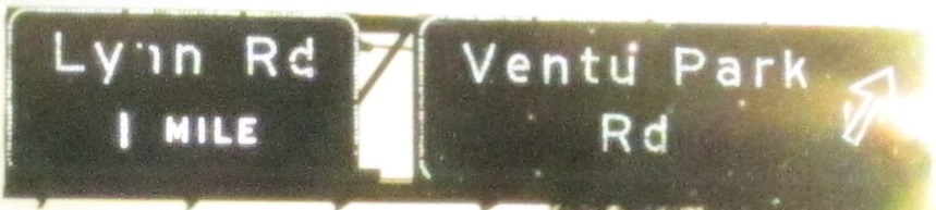
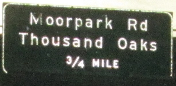
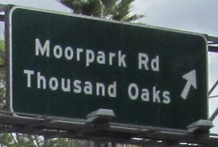
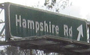
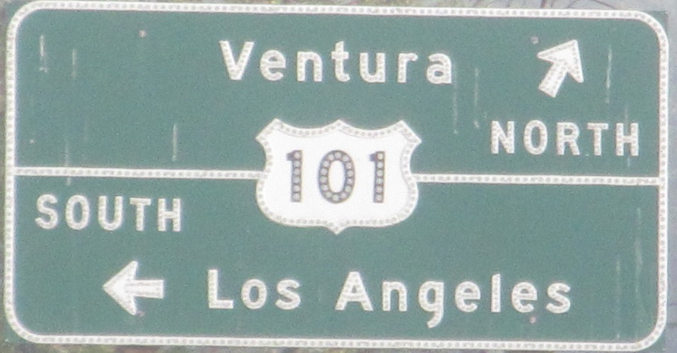
The last two photos are left and right on the same gantry. I think the previous photo has a covered up JCT, which seems unnecessary.
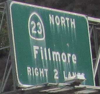
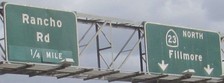
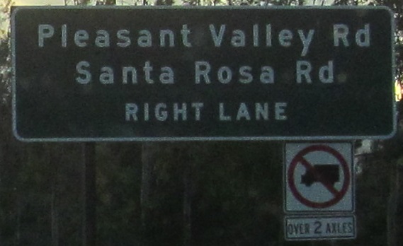
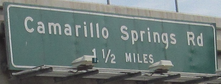
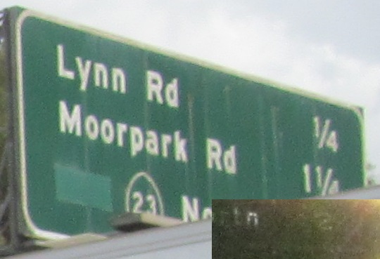
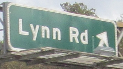
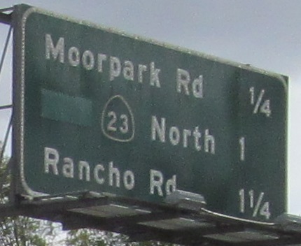
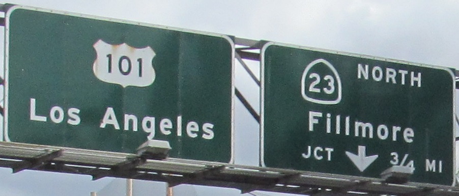
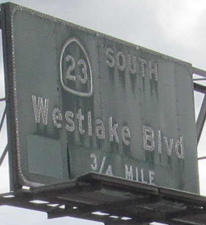
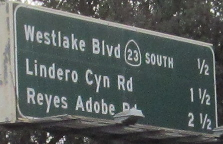
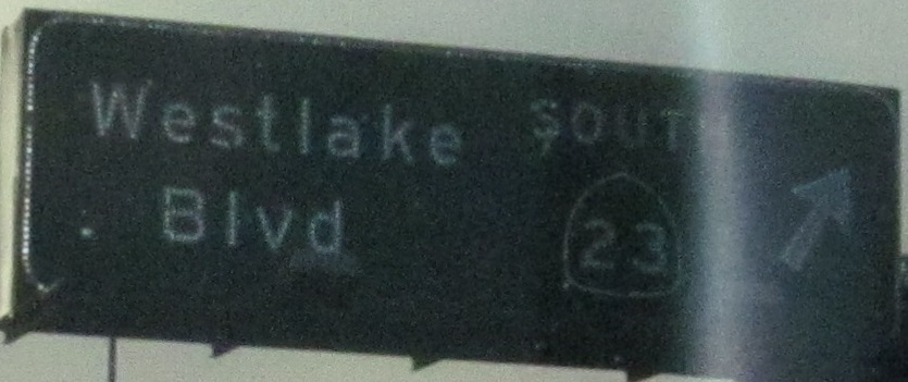
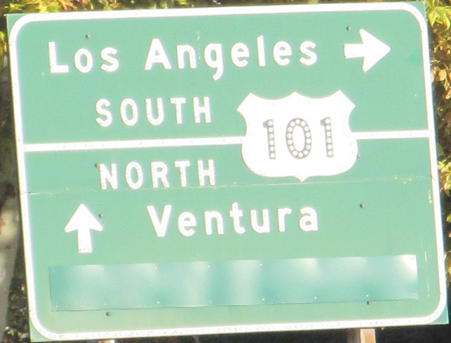
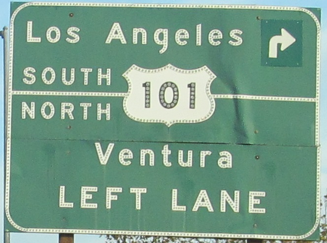
Once again, the last two photos are left and right on the same gantry. CA 23 SB is about to join US 101 for a short spell.
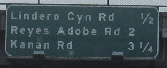
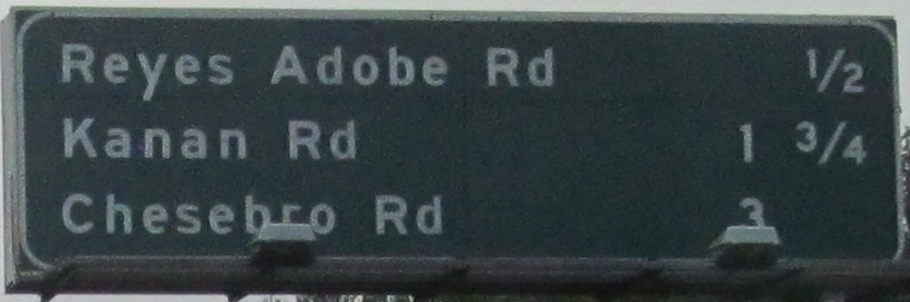
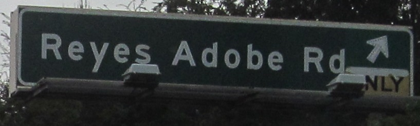
The last photo is on the Exit 38 ramp to Reyes Adobe Rd.
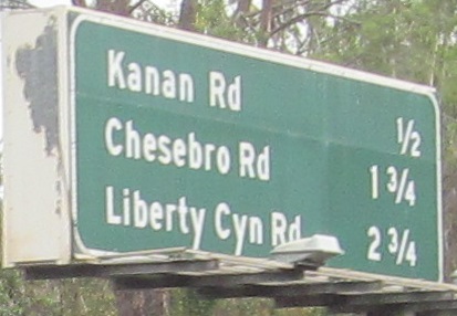
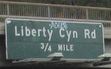
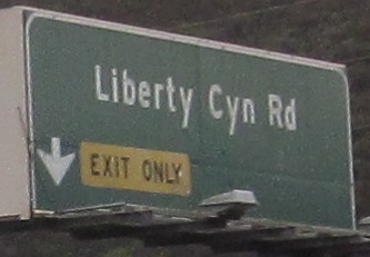
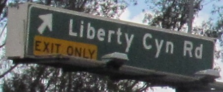
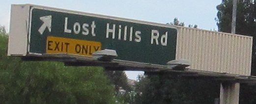
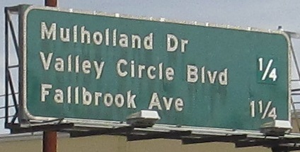
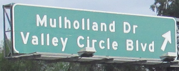
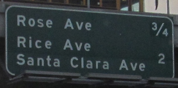
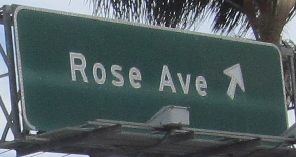
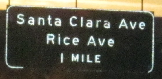
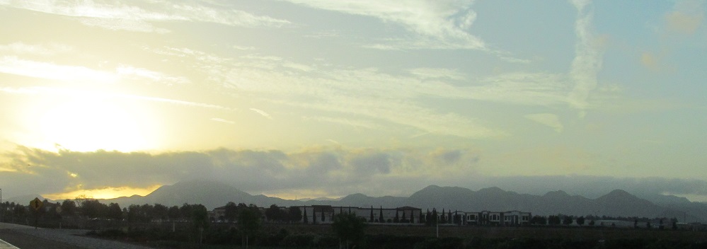
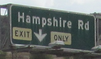
The rest of the run to Exit 29, which is technically just barely inside the Los Angeles border but it fits better on this page (literally, in terms of page length). A lot of these signs are so narrow that they're hopeless for fitting an exit number on. But since Caltrans is reusing gantries with new signs, there's no way the new ones can fit the number either. How do you get Liberty Cyn Rd., an arrow, an EXIT ONLY, and an exit number together in 3' vertically?
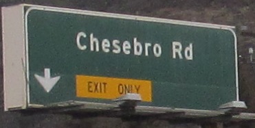
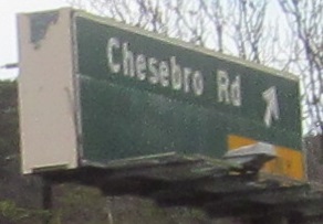
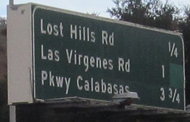
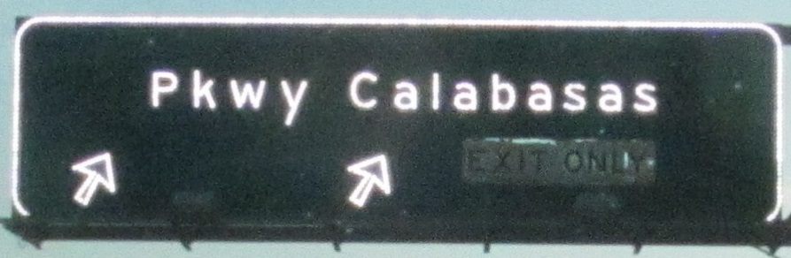
Sights I skipped over in the last photo run: NB cross streets at Exit 35 (Chesebro Rd.), Exit 30 (Pkwy. Calabasas), and Exit 29 (Valley Circle Blvd.). Pkwy. Calabasas once had "LEFT LANE" at the button, similar to Valley Circle Blvd., but since the late 1990s it's had its own loop ramp to the right. And it's a two-lane loop ramp at that, indicating how far development has come.
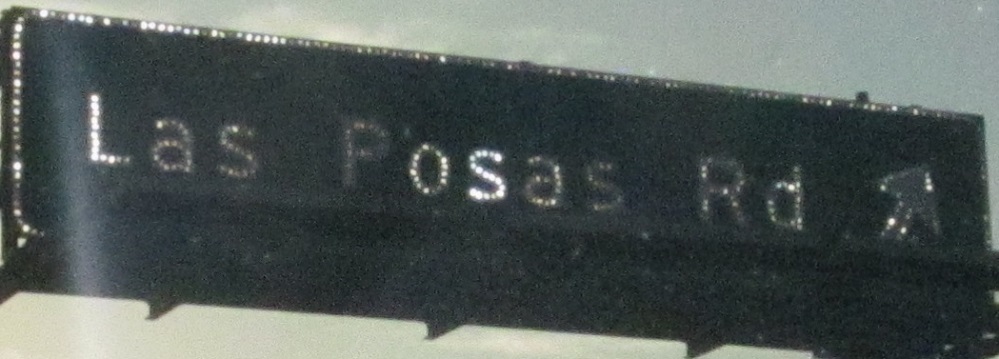
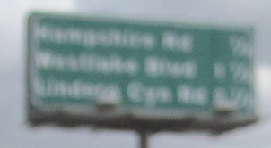
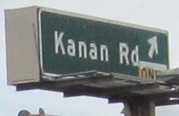
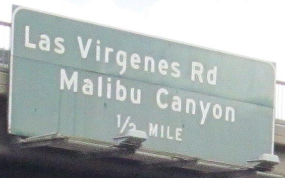
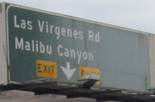
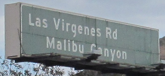
Las Virgenes Rd., CR N1, NB at Exit 32. You may have noticed odd gaps on the mainline signs, and I'm wondering if there were N1 shields posted at one point.
Continue south on US 101 SB
Over to the NB lanes
Back north on US 101/CA 1
Back to US 101 main page
Back to California Roads
Back to Roads