California Roads - Old US 99 - Ridge Rte. - S. of south gate
Ridge Route (former US 99) south of the southern gate
Photos progress southward and are generally southbound, so I will alert you when they are not.
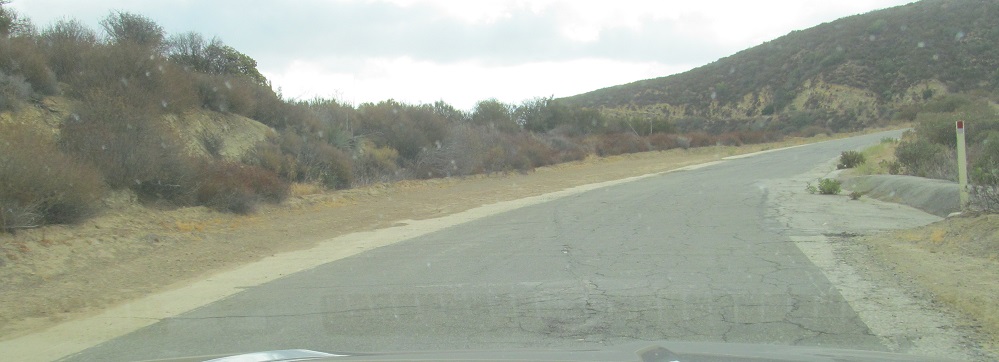
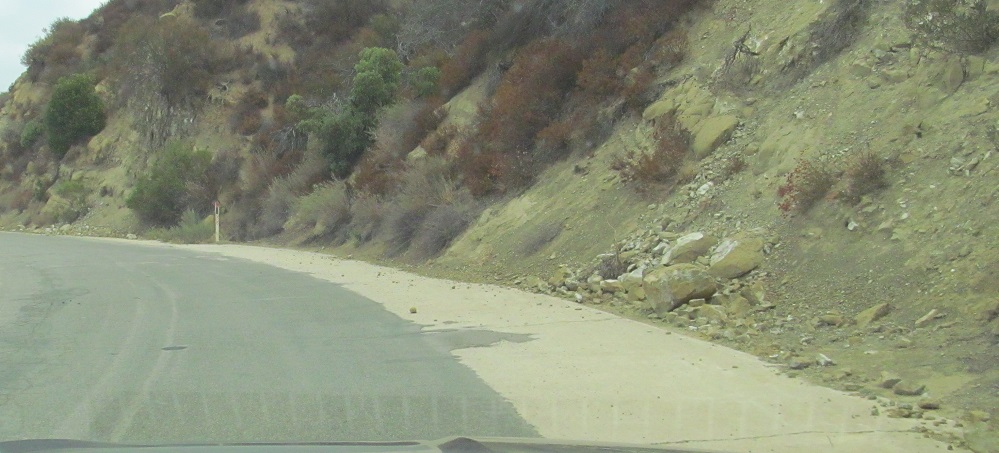
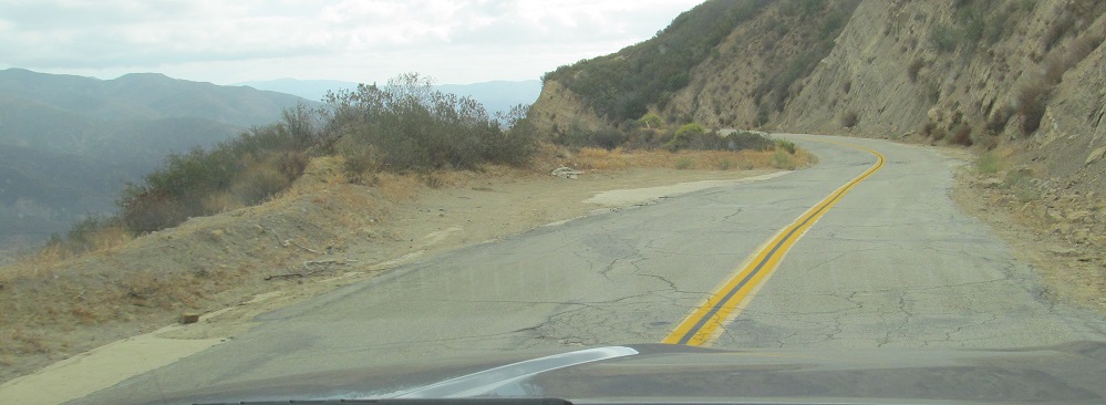
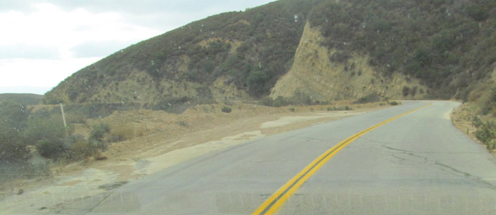
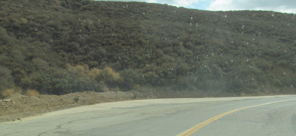
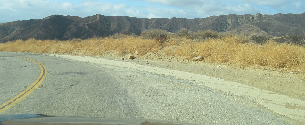
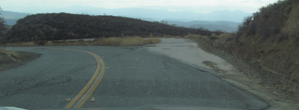
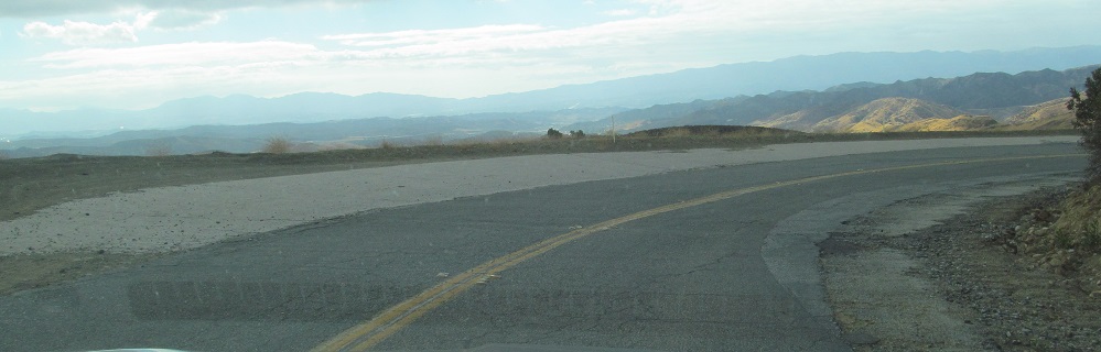
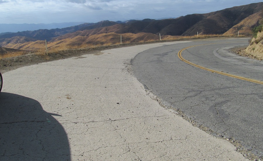
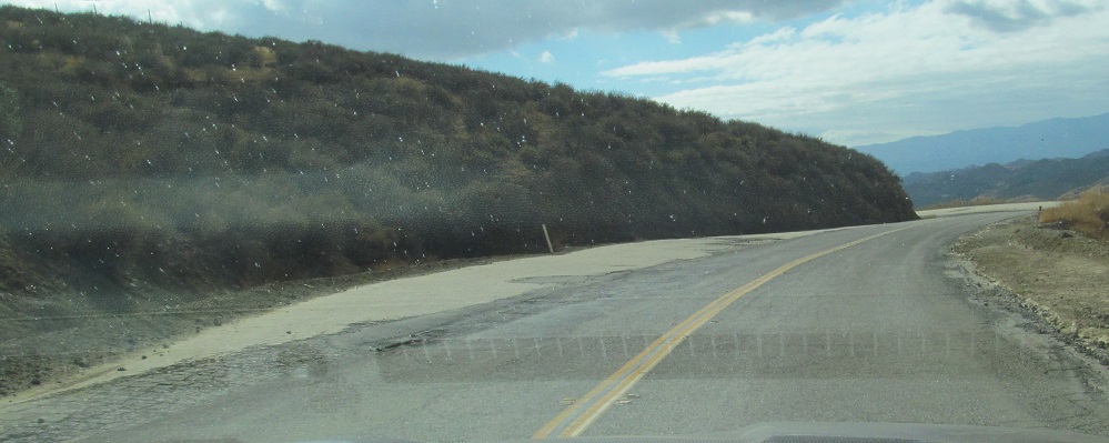
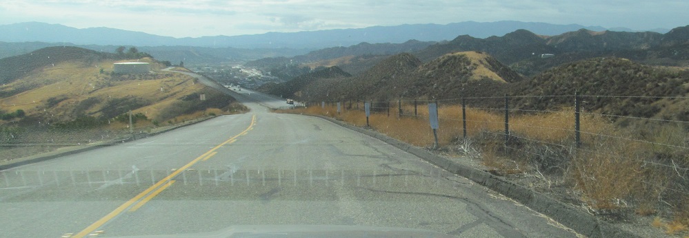
Somehow, being back on the publicly accessible part of the road has reintroduced concrete. The smooth asphalt doesn't follow the old pavement precisely, whereas the older asphalt north of the gate is never used and so dates to when more care was taken with these things. (Some of this is also modern smoothening of curves, whereas the rest of the Ridge Route follows the path completed in 1924.)
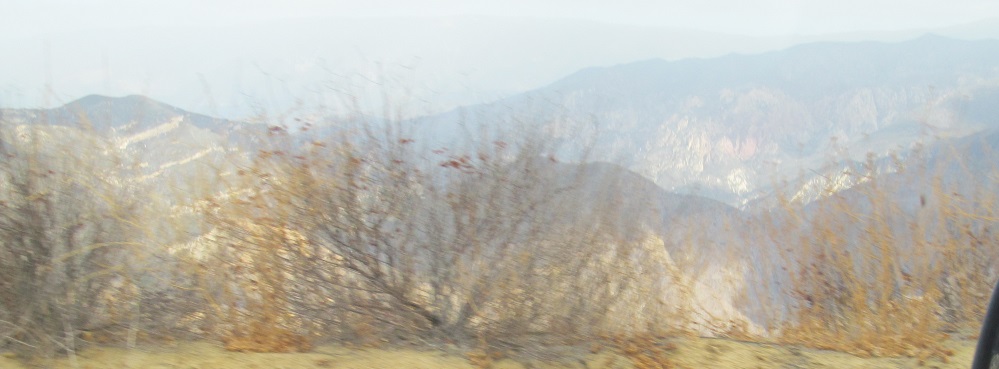
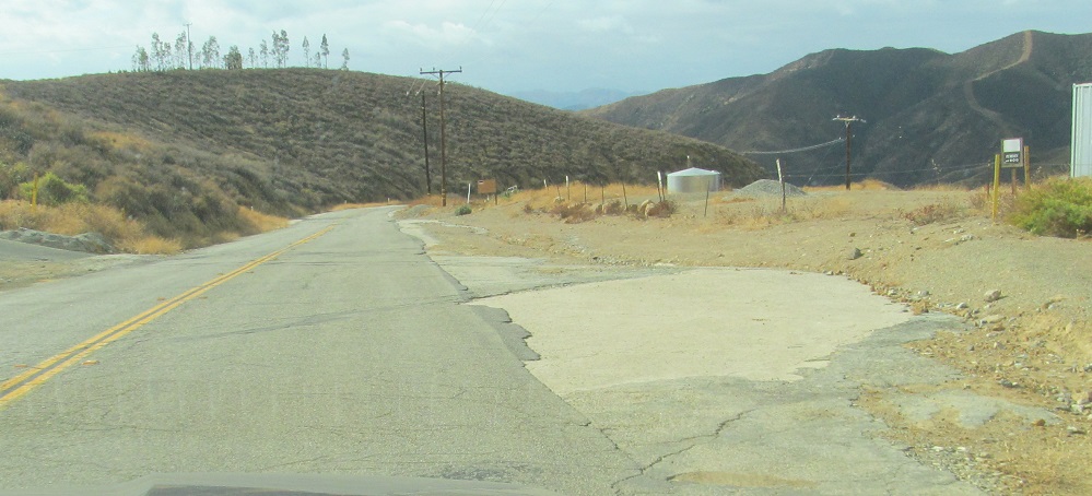
Until now, all of the scenery has looked west. These are my first glimpses east, including more concrete.
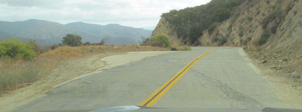
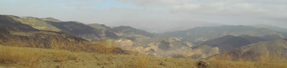
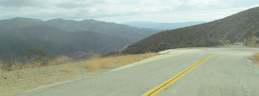
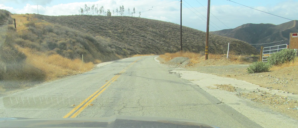
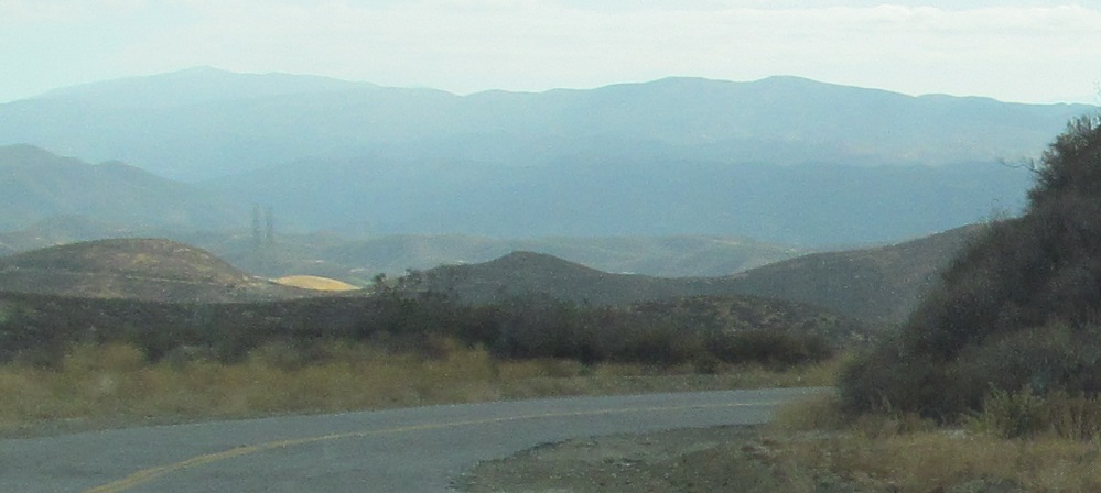
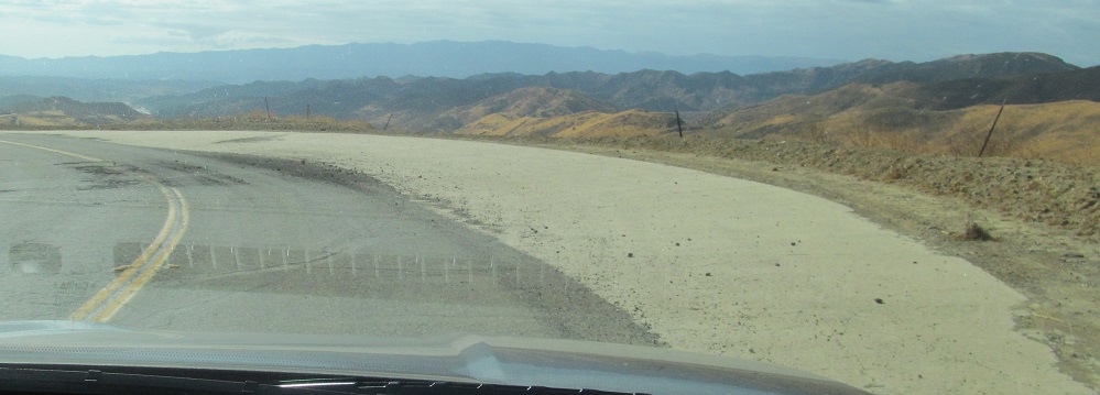
The asphalt continues to plow straight over the winding concrete Ridge Route until I have reason to take another photo to the east.
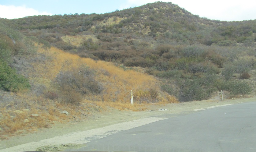
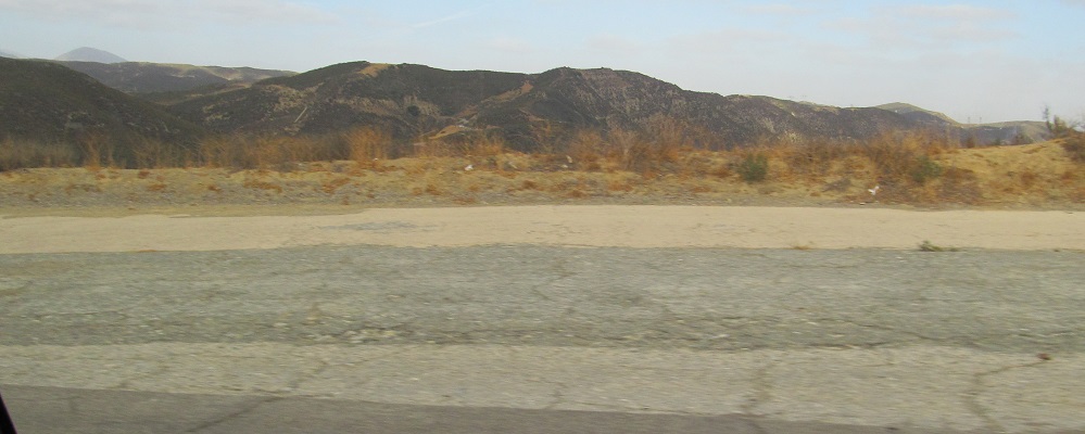
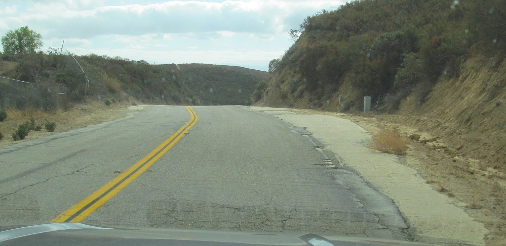
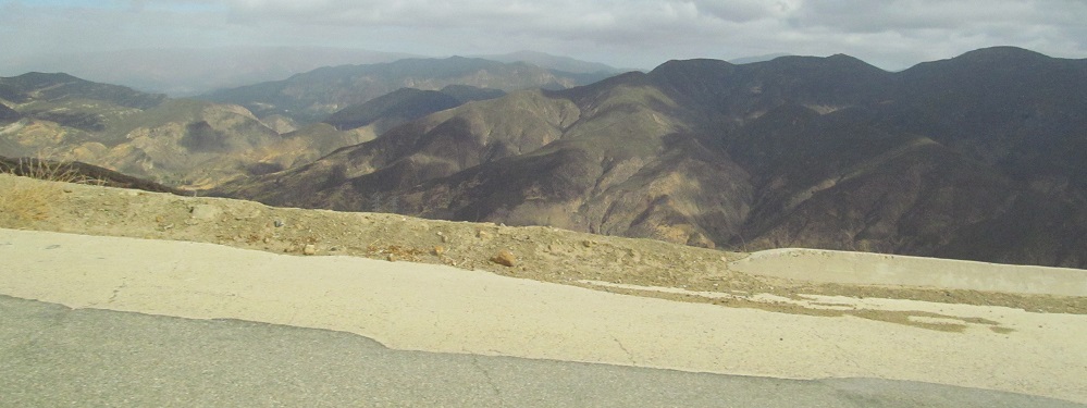
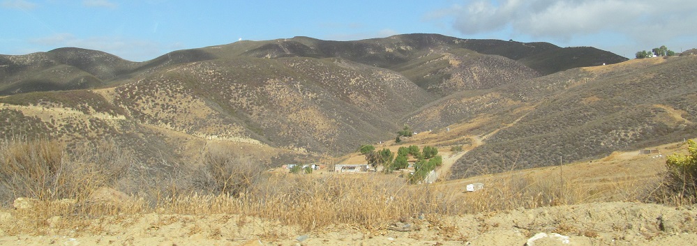
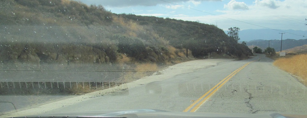
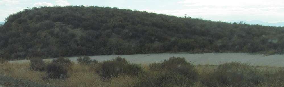
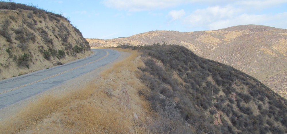
I'm relatively close to Castaic, 22 miles in from the top of the road, and there are still old oxbows being straightened. The terrain is not very punishing at this point, but it tells you how little the landscape was altered for the original road.
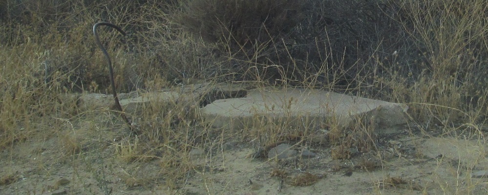
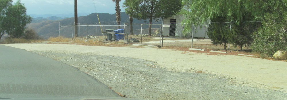
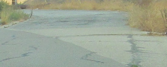
What do we have here? It's an old foundation with reinforcement sticking out, but is it road or building? I scream, for I do not know.
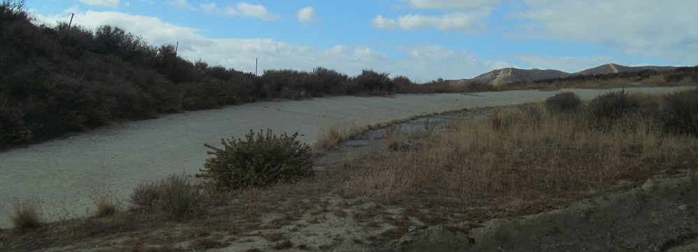
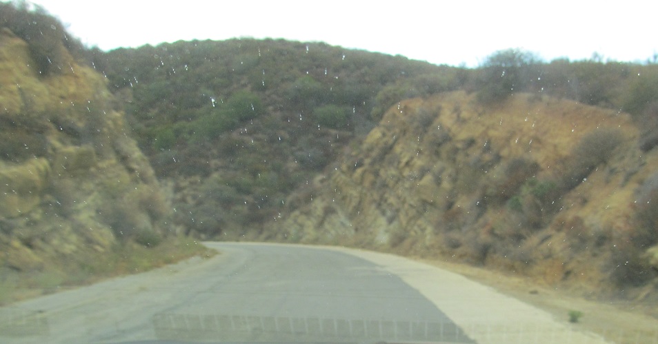
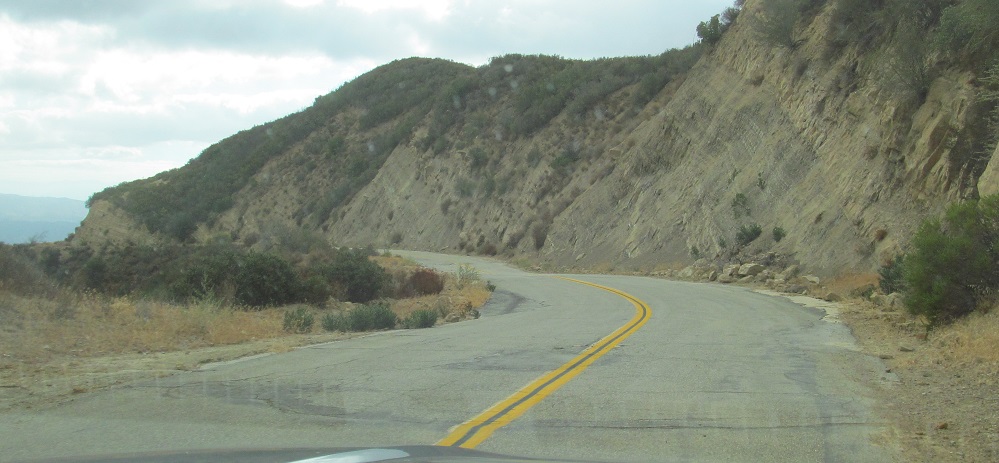
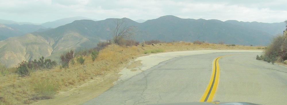
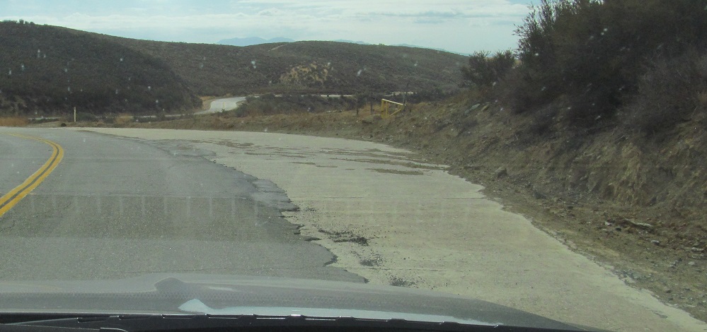
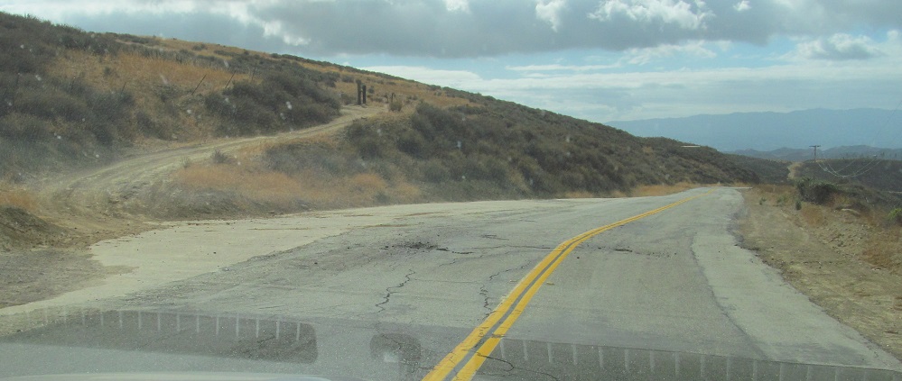
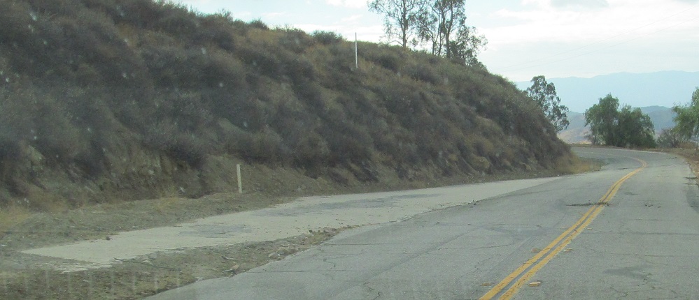
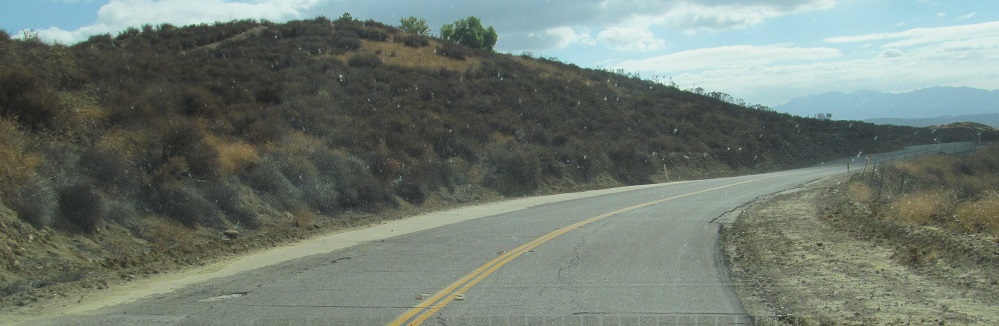
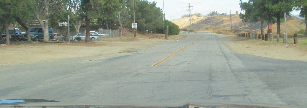
More curves straightened, with a particularly nice specimen to the west.
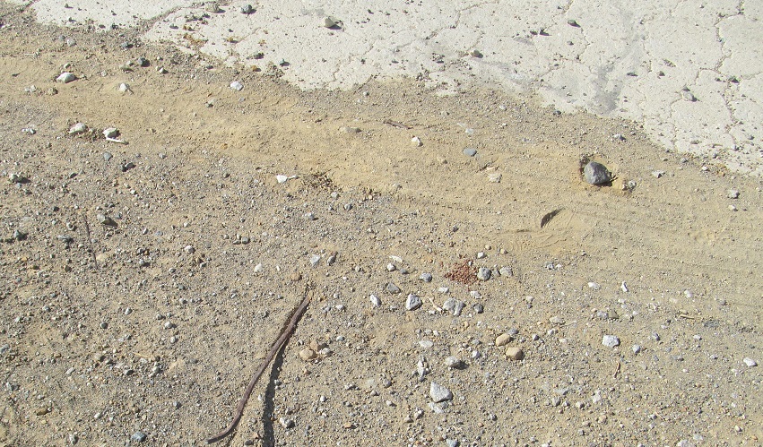
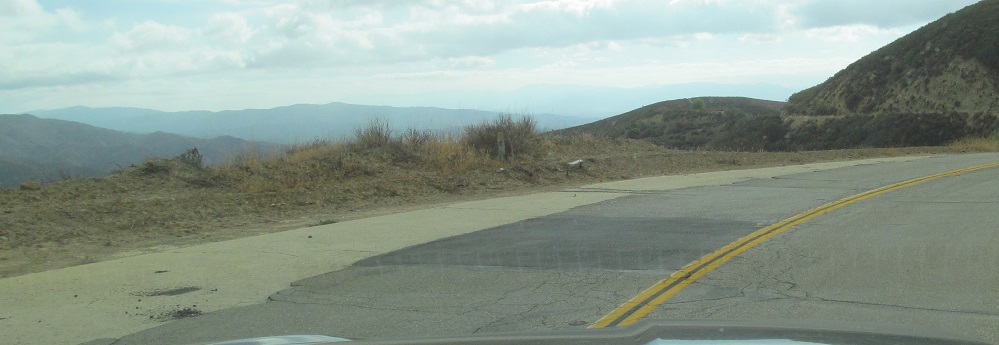
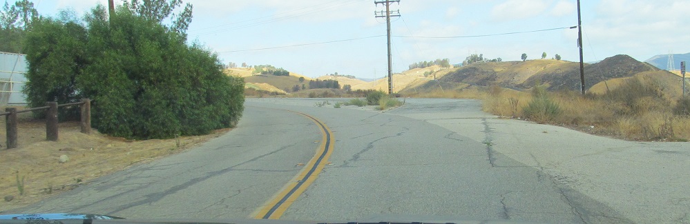
A look south, a look north, and a look at another piece of exposed rebar. This one is definitely related to the original concrete pavement, unless someone stuck it there and the old pavement is unreinforced.
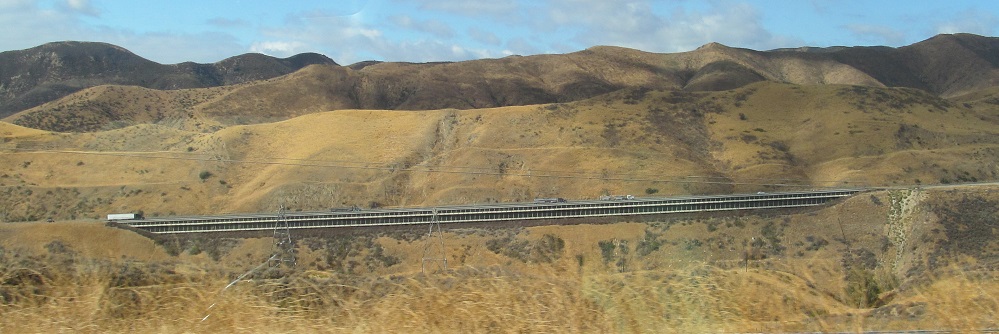
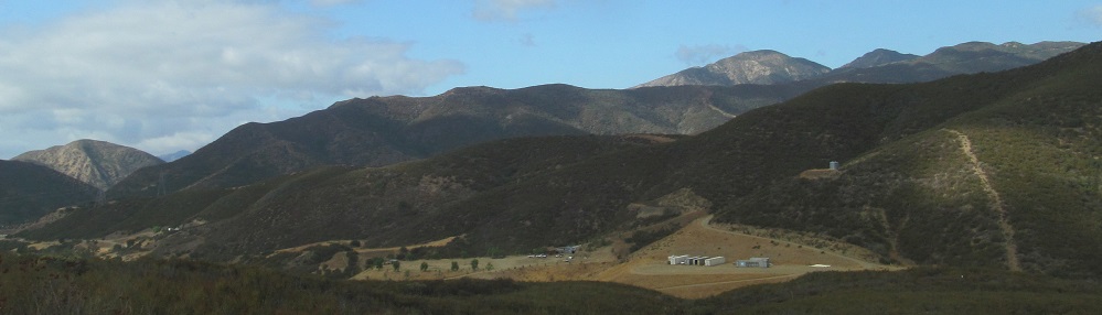
Before I get to Castaic, have some views of I-5. The penultimate photo is Five Mile Grade, originally built for the US 99 Ridge Route Alternate but now used by I-5 NB to ascend toward Violin Summit. (I-5 SB has a separate, gentler alignment that is actually closer to the Ridge Route, crossing I-5 NB twice to reduce the chances of runaway trucks.) The last photo shows I-5 entering Castaic, and thus ends my journey on the original Ridge Route.
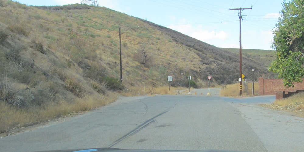
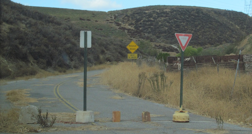
Well, not quite. I lied a little. A small section at the south end of the Ridge Route was rerouted by Northlake Hills Elementary School, leaving original pavement along Castaic Lake Drive to the east. Photos head north to the drivable end of the route, which clearly was in service not too long ago (until about 2000). Rough road next 6 miles? The road barely makes it 600 more feet now.
Back north on the Ridge Route
Back to the Ridge Route main page
Down to I-5
Back to California Roads
Back to Roads