California Roads - Old US 99 - Ridge Rte. - N gate-Reservoir Summit
Ridge Route (former US 99)
Northern gate to Reservoir Summit
All photos were taken heading southbound.
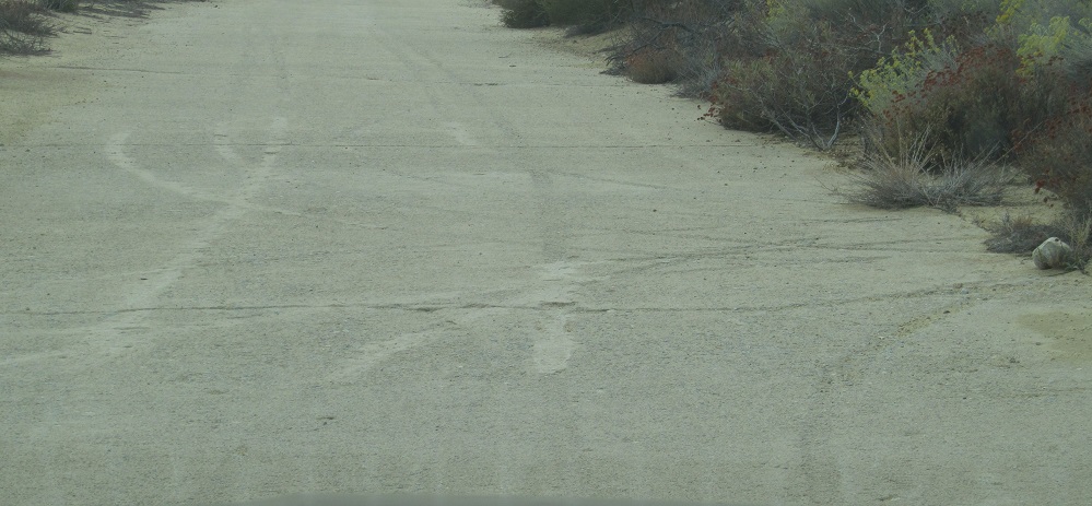
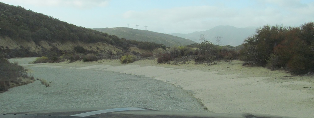
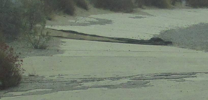
Just south of the gate, Harrison showed me a special stop where vehicle tracks from the 1920s are visible. I guess there was a lack of quality control back then, or no one was guarding the fresh concrete once it "set". (Concrete gets fairly hard within a day or two, but takes weeks to hold up under traffic.)
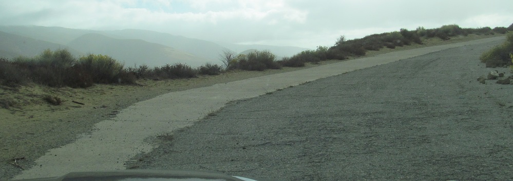
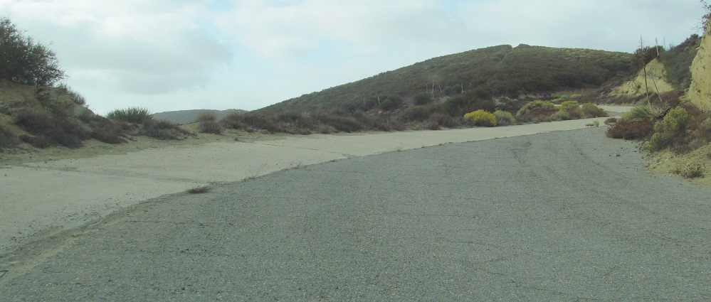
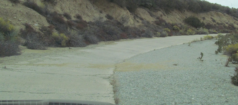
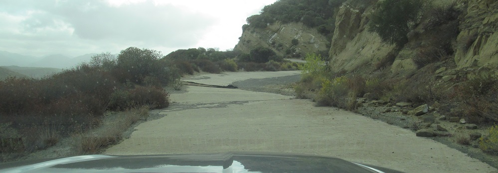
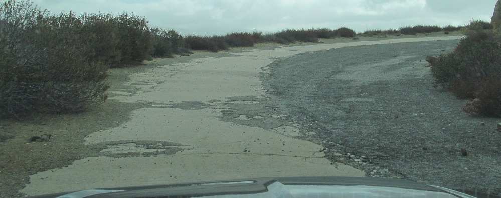
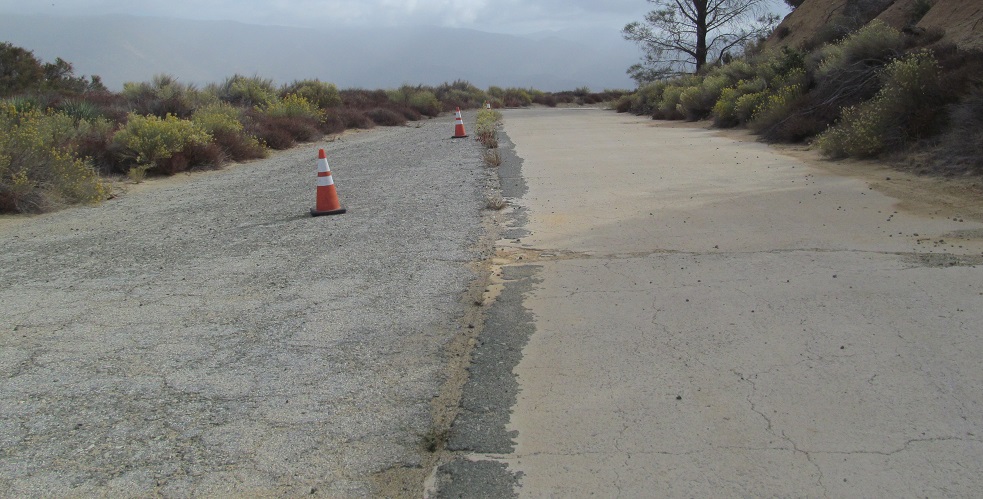
This is an egregious use of asphalt to cover far too much of the original concrete. Fortunately, it's fleeting.

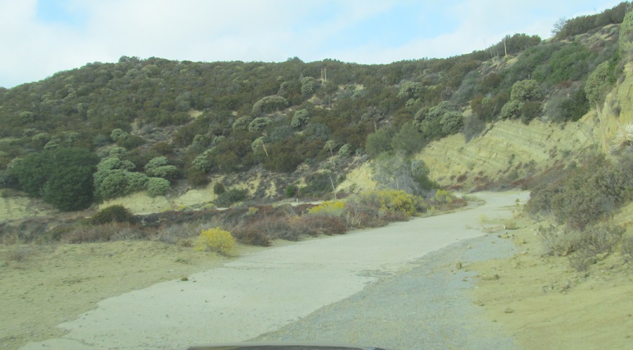
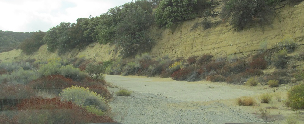
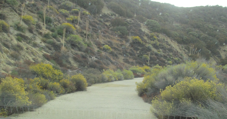
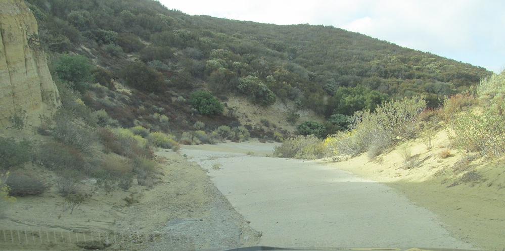
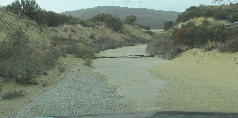
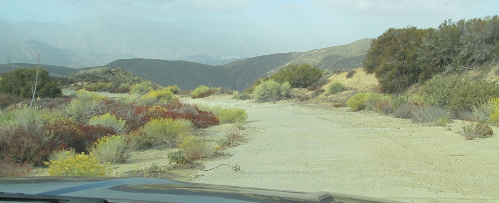
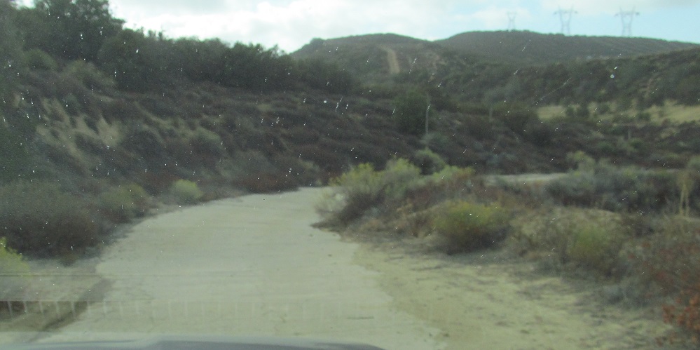
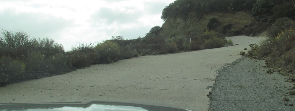
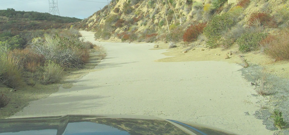
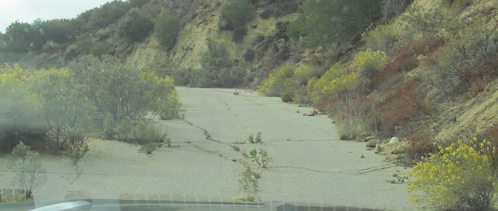
This is one of the longest diversions away from the original concrete road. It took quite a bit of earth and rock chopping, but it's nice and straight (and narrow).
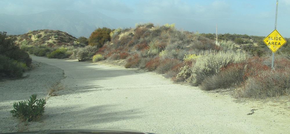
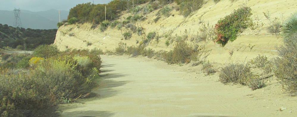
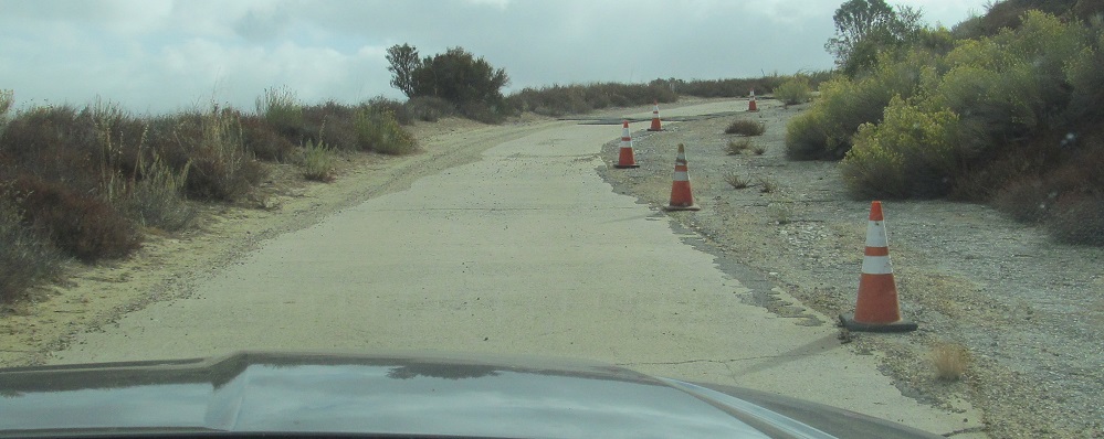
Oh, here's the slide area. I wasn't talking about rock slides on the previous page north or anything. This looks like a CA-standard sign, not a U.S. Forest Service issue, so who put it up?.
The last photo is the site of Kelly's Half Way Inn on the left. It's close to the halfway point along the Ridge Route*, but it was so named for being halfway from Los Angeles to Bakersfield. All that's left of it is foundations buried under dirt. Now, as to that asterisk? Technically, the Ridge Route is not just from Castaic to CA 138 at Quail Lake. Technically, it began south of Castaic along what is now The Old Road, but the northern end went well past CA 138, up Gorman Post Rd., past Lebec, up through the Grapevine where there are still some original narrow concrete twists and turns that you can drive or hike. Because of this, the halfway point is actually north of the northern gate.
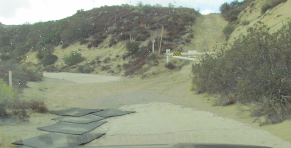
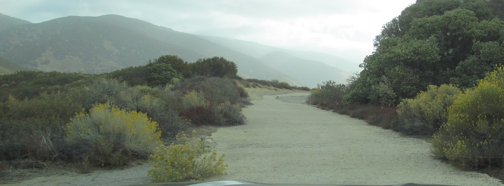
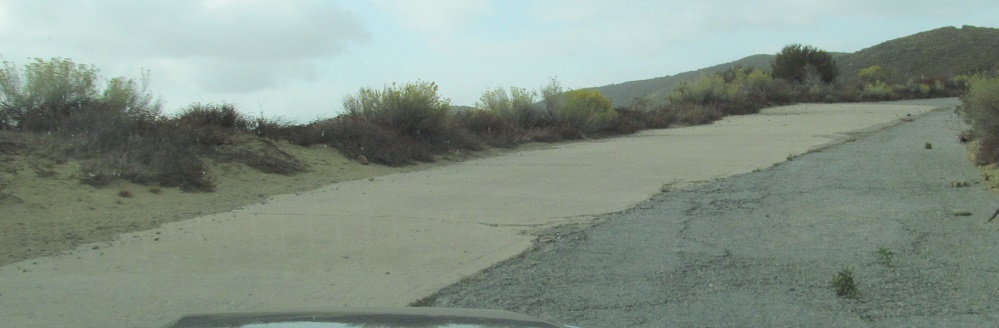
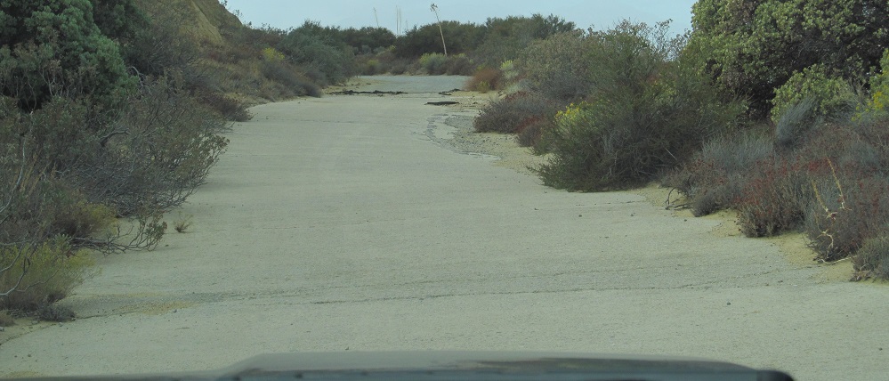
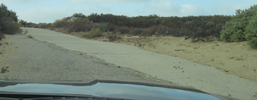
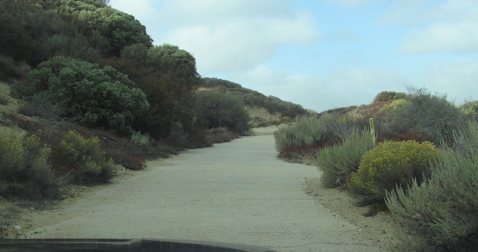
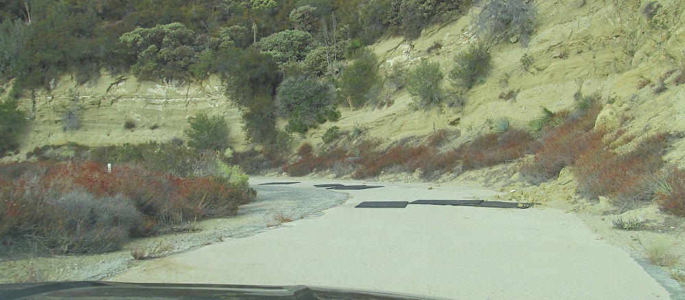
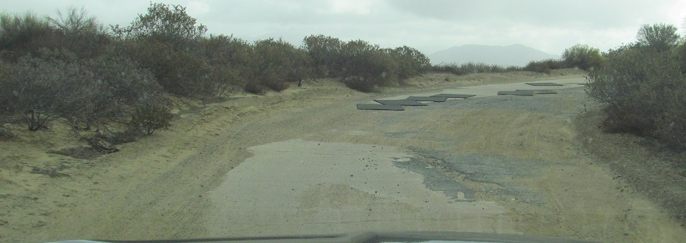
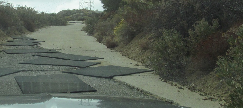
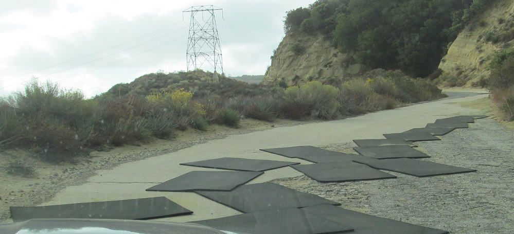
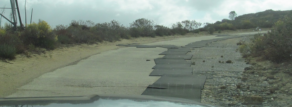
Heavy-duty pads were laid over the worst cracks in the pavement to keep them drivable to USFS vehicles - and us. I am to understand that most of these issues have been resolved by 2020, though not enough to reopen the road to the general public.
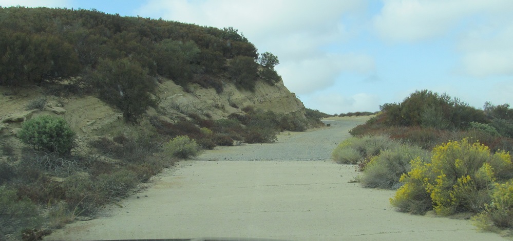
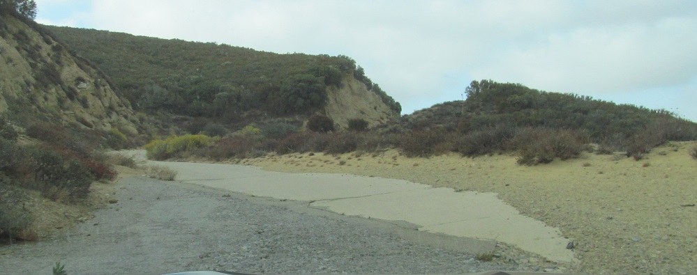
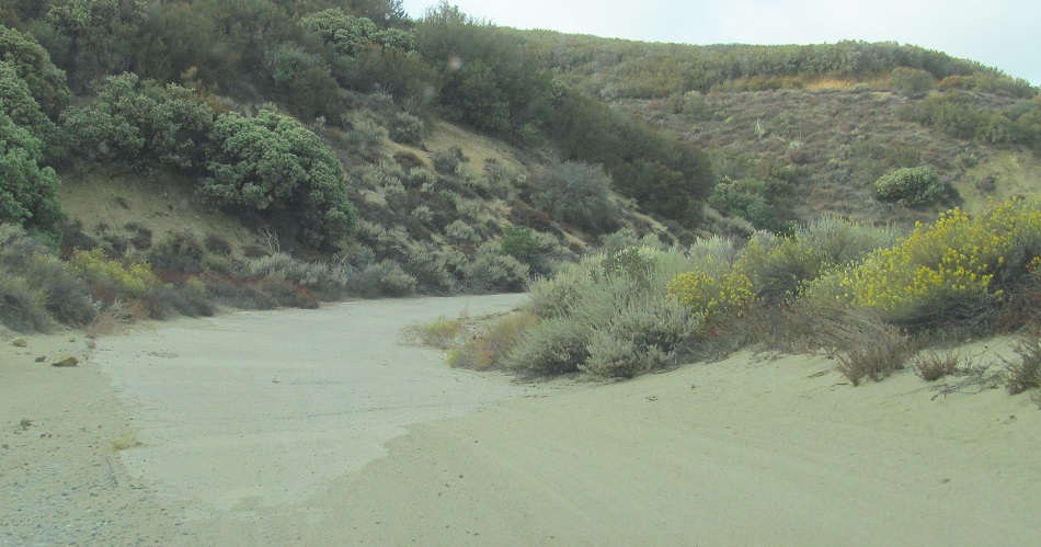
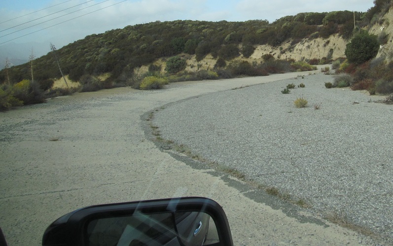
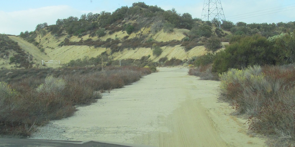
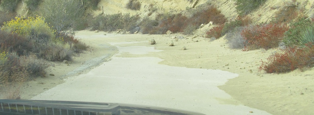
This looks like an entire concrete section went missing and was just filled in with dirt.
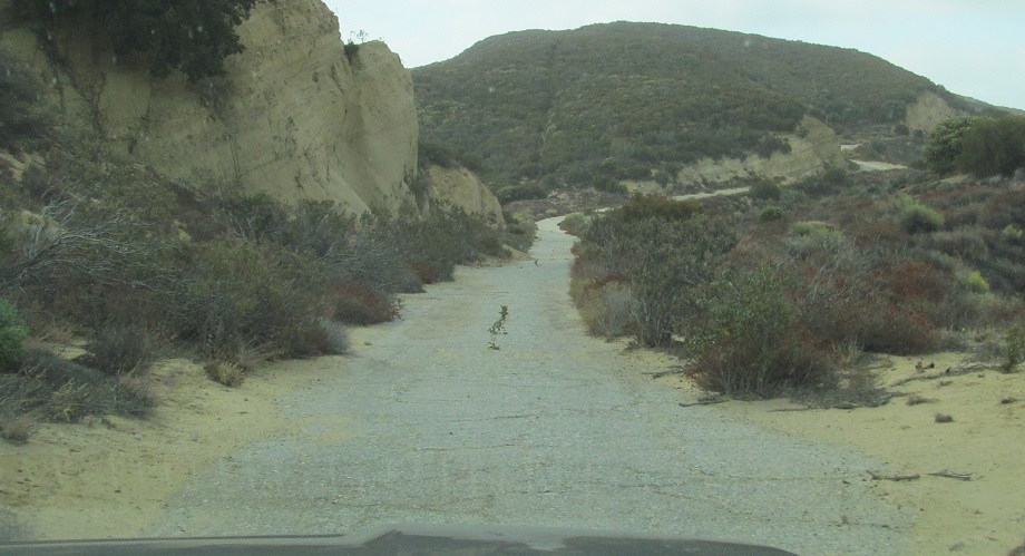
Check out the marks in the rock from 1910s blasting technology. Check out the road pads. Check out the rockslide. This corner has it all.
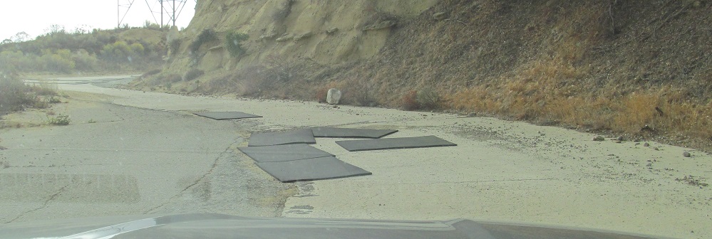
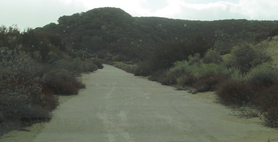
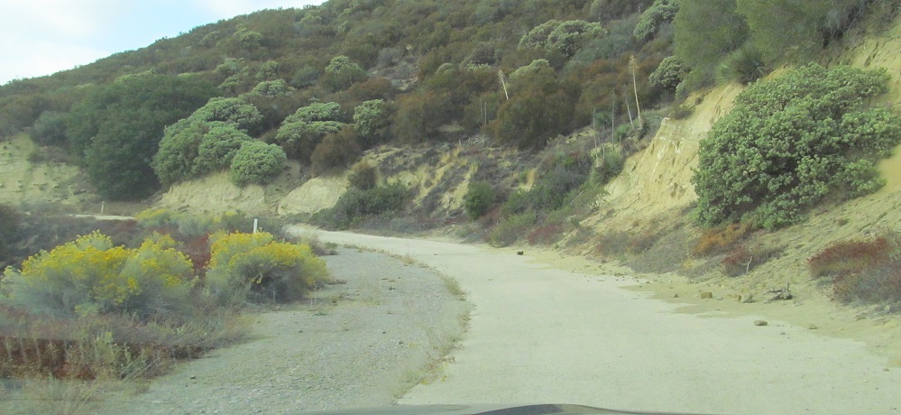
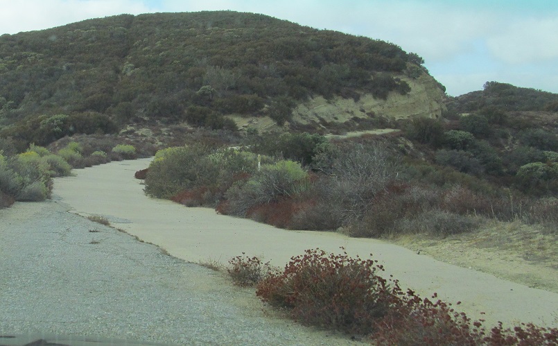
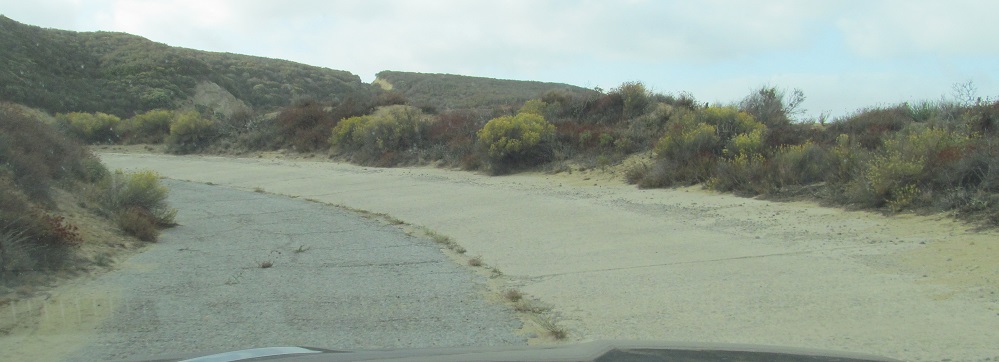
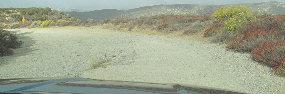
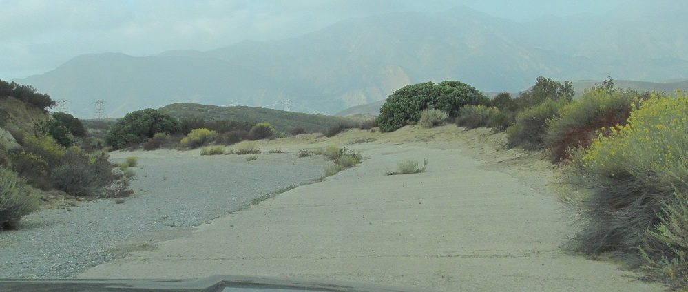
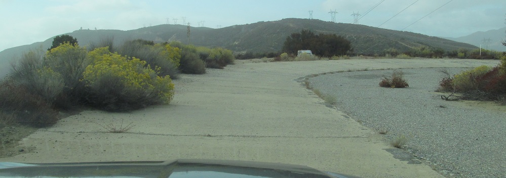
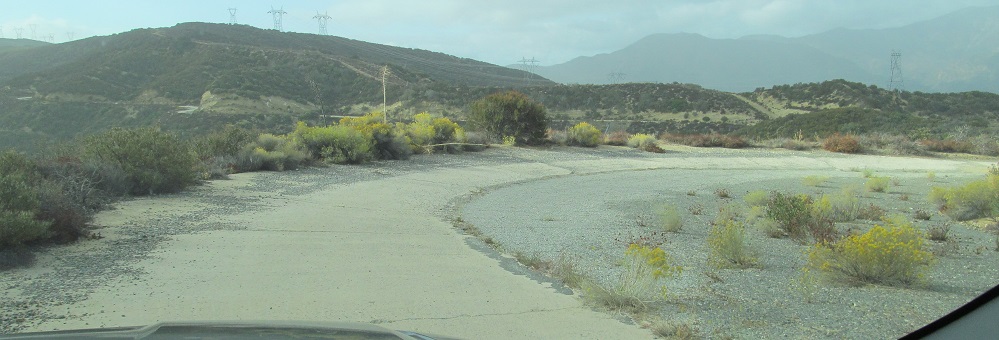
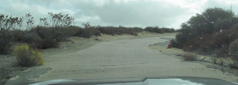
Thanks to judicious covering of concrete/asphalt gaps, we've made it to Reservoir Summit. It's not all downhill from here, but on average it is.
Continue south on the Ridge Route
Back north on the Ridge Route
Back to the Ridge Route main page
Back to California Roads
Back to Roads