California Roads - Old US 99 - Ridge Rte. - N. of north gate
Ridge Route (former US 99) north of the northern gate
All photos but the last were taken heading southbound.
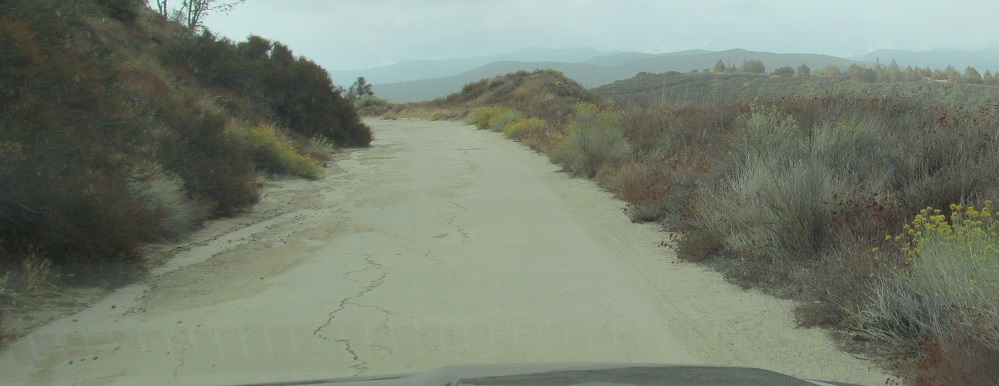
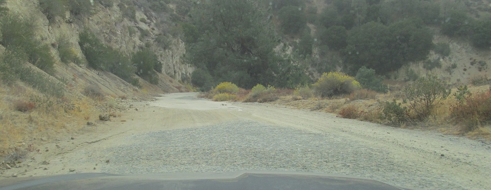
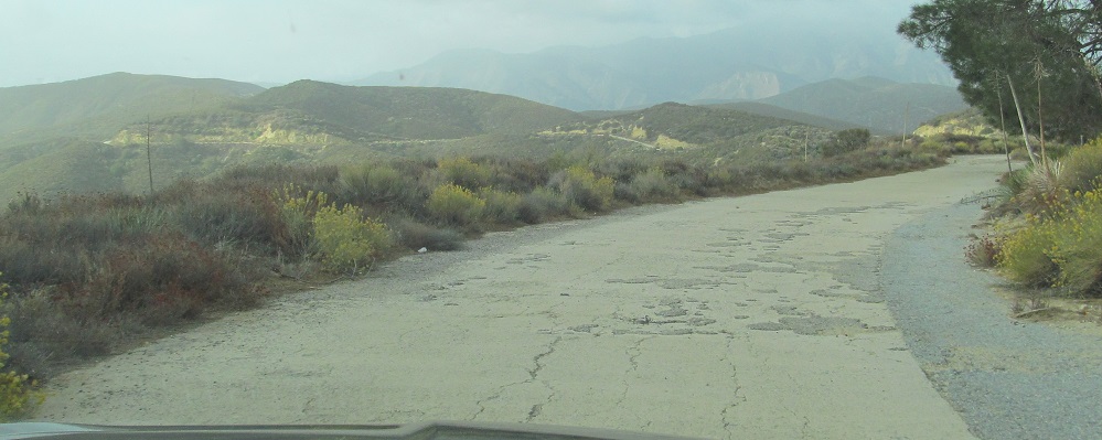
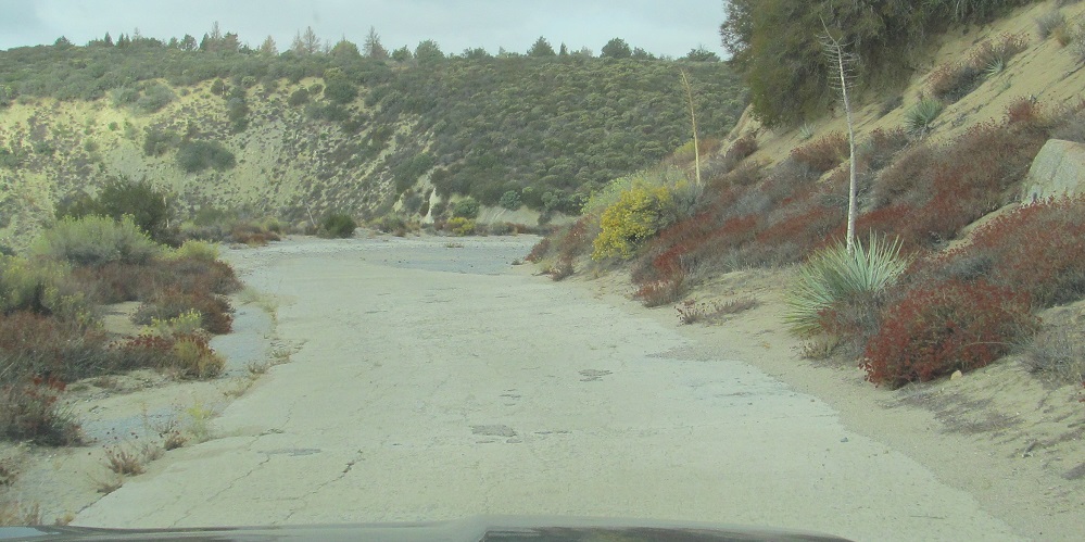
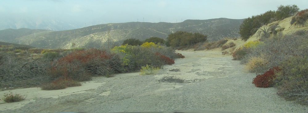
Two minutes after the end of my prior page, I come to a very snaky section where the original road made a lot of seemingly unnecessary twists that were quickly straightened out all in a row. I have to think some inconsequential amount of earth was moved, or else the original road would have been straight itself.
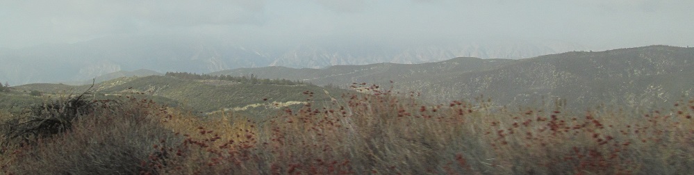
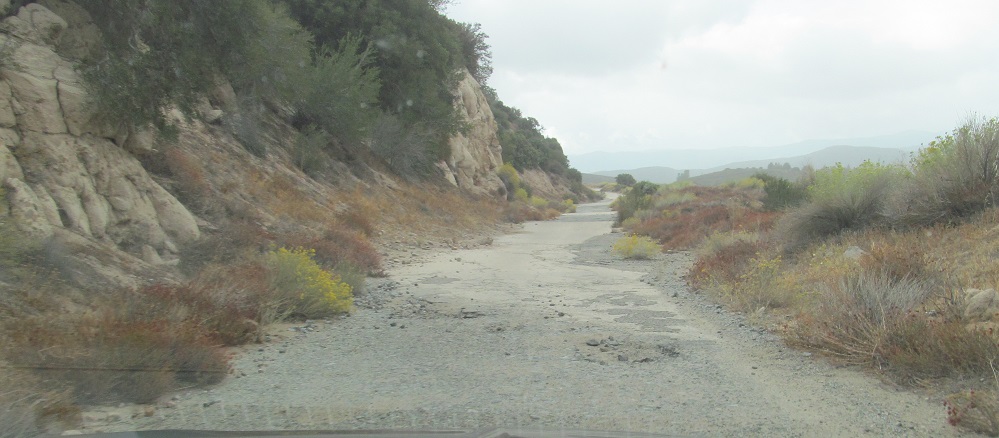
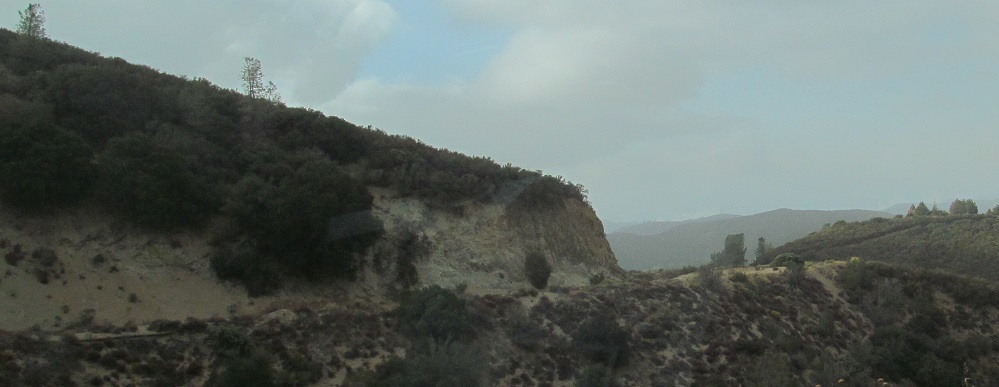
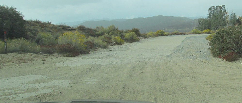
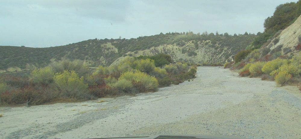
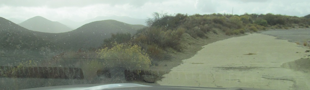
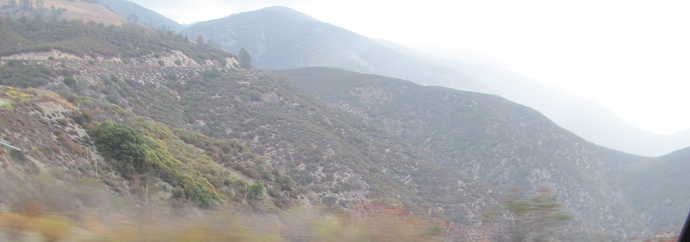
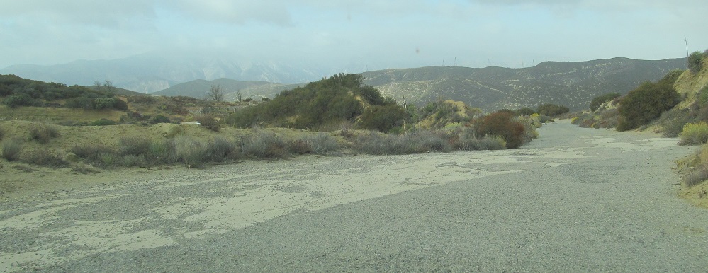
Scoping out the ridge and the route ahead.
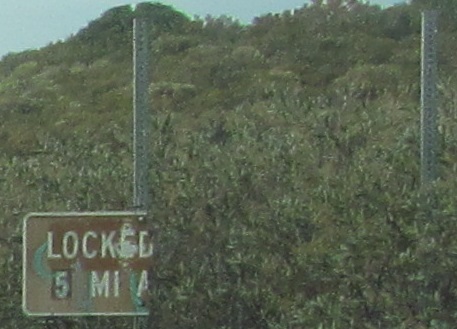
This is the reason I contacted Harrison Scott to accompany me along the route: locked gates. Well, locked something, 5 miles a. The sign did not do well on one post, so why wasn't it on two? What was the other post for if not this sign?
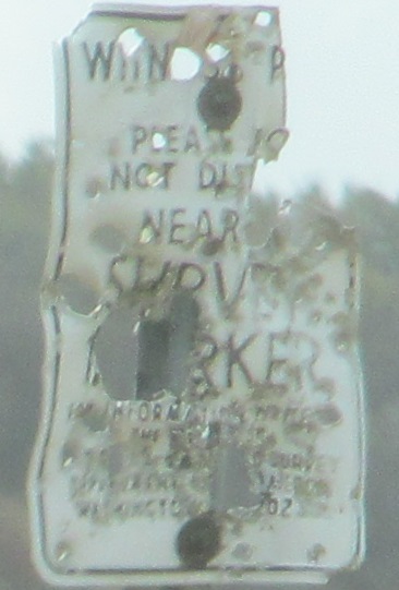
"Please do not disturb," meet 2nd Amendment.
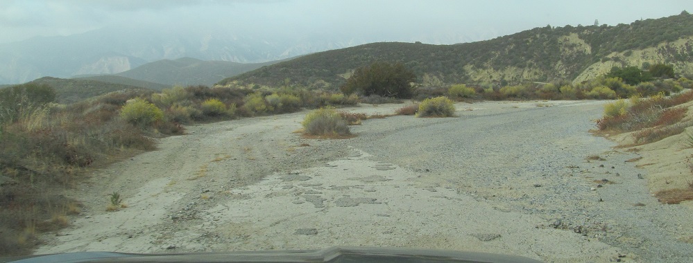
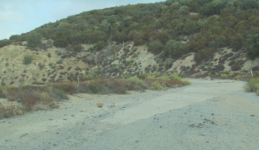
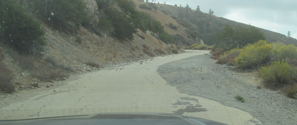
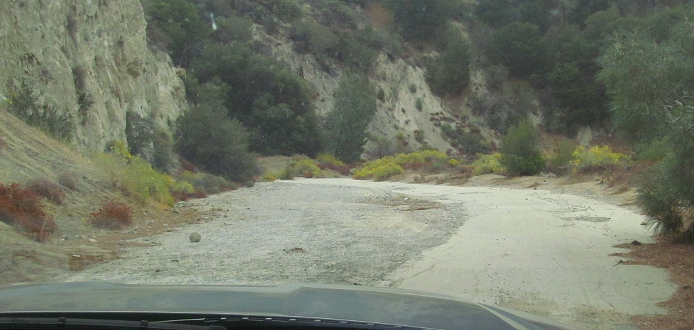
Here we have another landslide taking out the outside of one of the old curves. As curves were straightened with asphalt, the old road was sometimes ignored and left to do what it pleased instead of keeping it drivable.
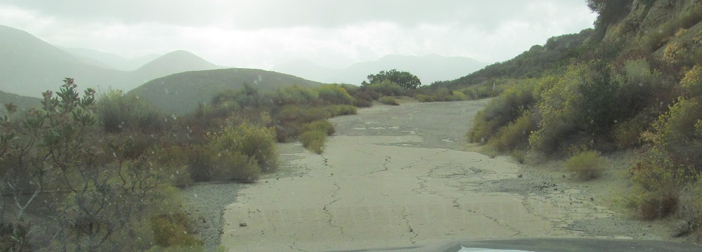
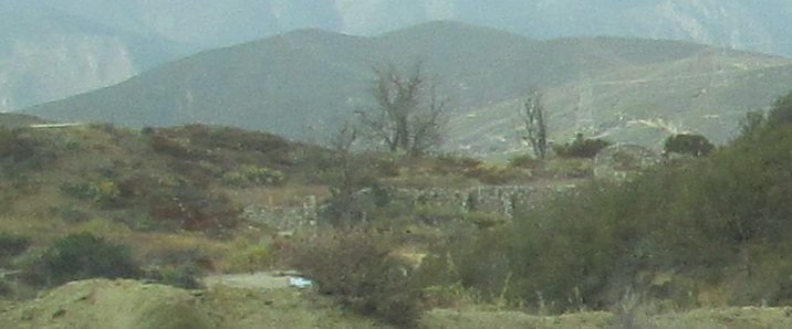
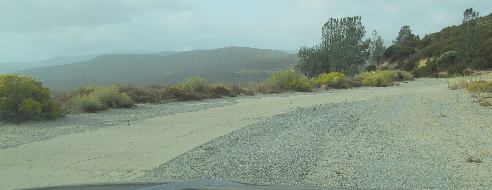
Just how many more miles was the Ridge Route before it was straightened? The last photo provides a glimpse of Tumble Inn ahead, another relic of the 1920s providing food, gas, and lodging. I've reserved better photos for my Non-Roads page.
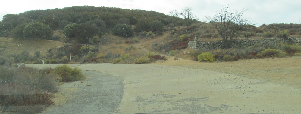
Past the wall of Tumble Inn to the northern gate closing the central section of the Ridge Route. It had several locks chained together to close it, such that any one key would do the trick. Harrison had one such key. (U.S. Forest Service was another, for example.)
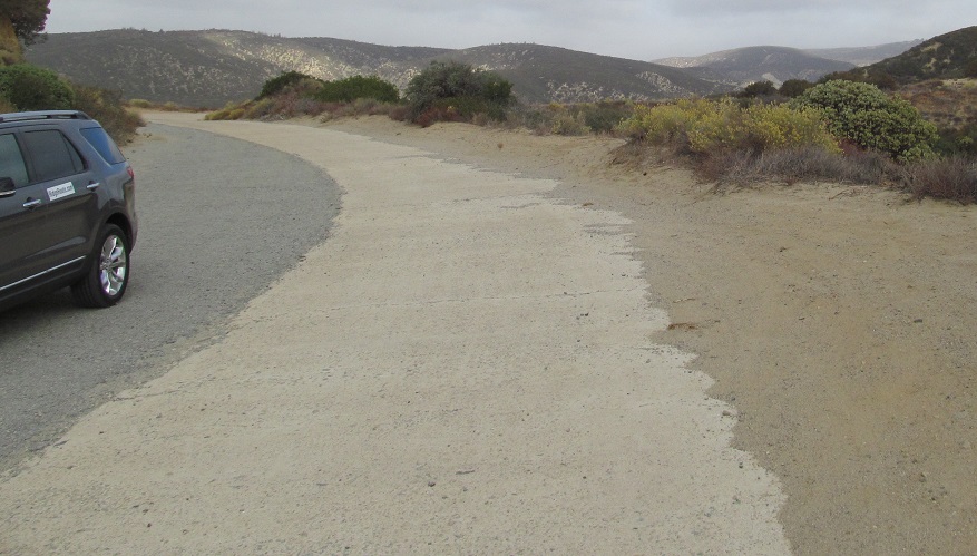
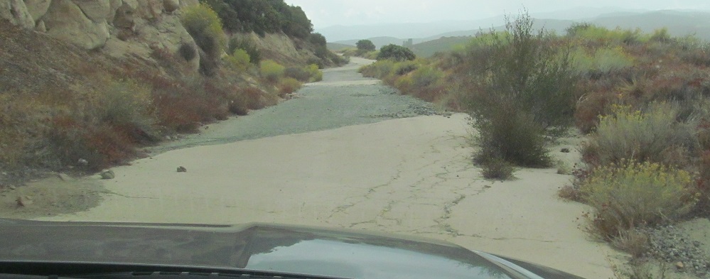
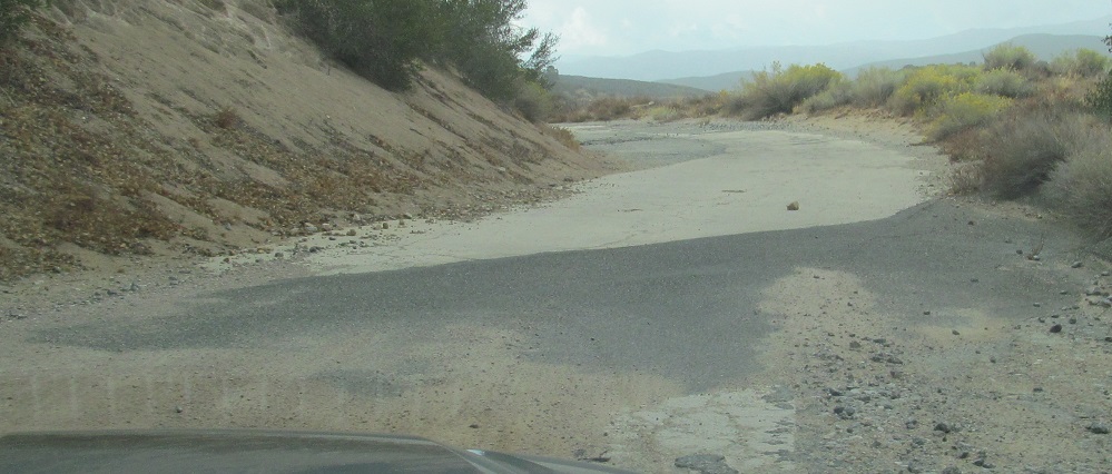
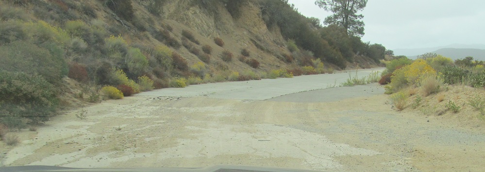
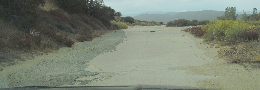
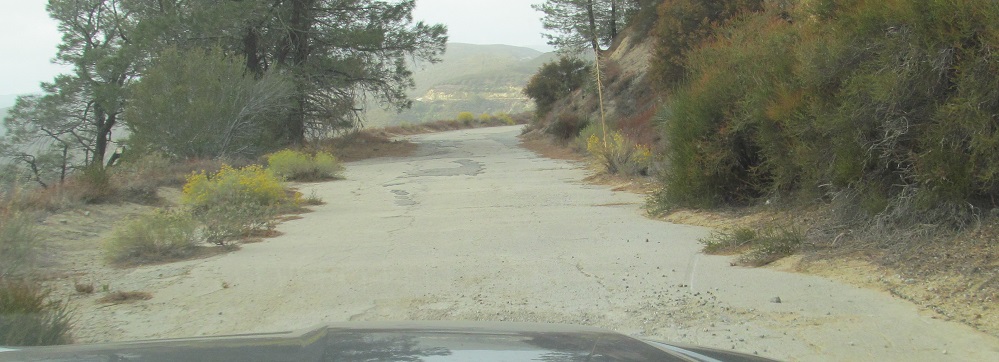
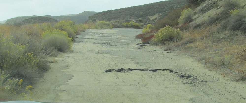
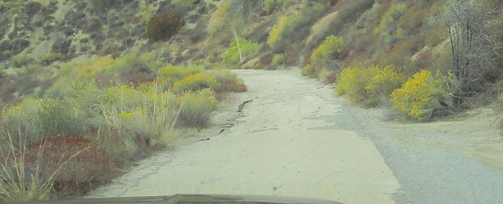
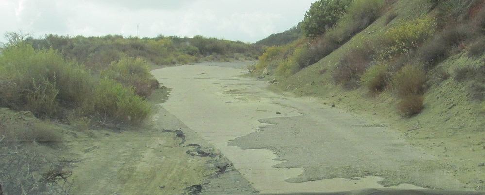
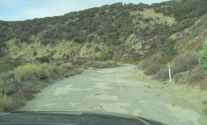
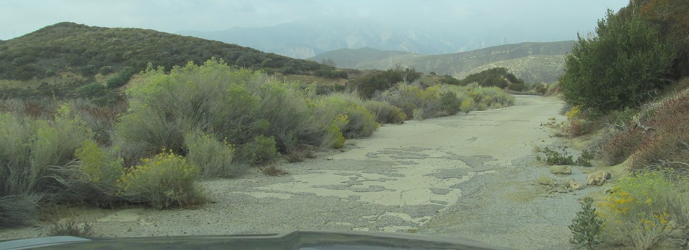
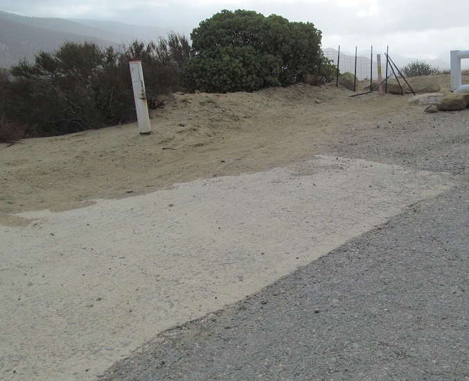
Ratty asphalt south of the gate, smoother asphalt and original concrete to the north.
Continue south on the Ridge Route
Back north on the Ridge Route
Back to the Ridge Route main page
Back to California Roads
Back to Roads