California Roads - Old US 99 - Ridge Rte. - S. from CR N2
Ridge Route (former US 99) south from CR N2
All photos were taken heading southbound.
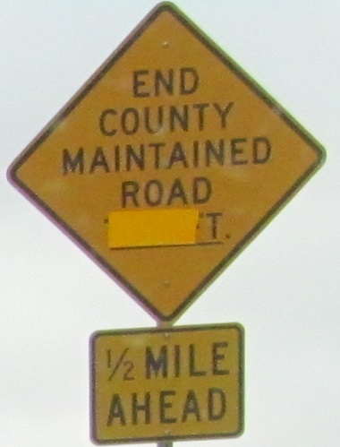
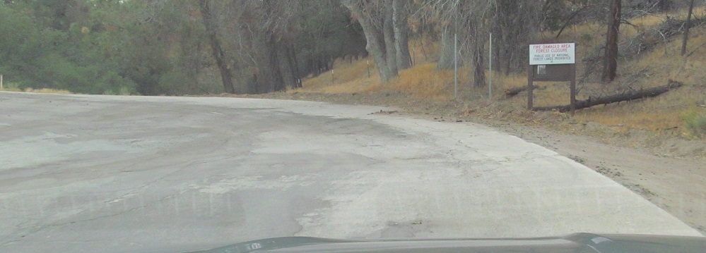
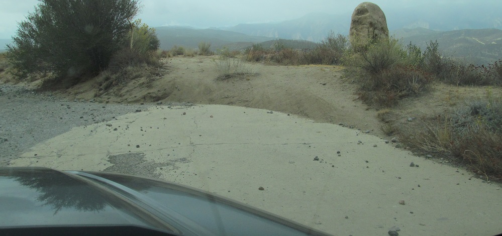
After the state dropped its maintenance of the Ridge Route, the road fell under county jurisdiction. However, the county didn't maintain the road beyond the point indicated here (ignore the number behind the curtain), which generally doesn't work out for drivability. During my visit, there had been recent forest fires that resulted in the road's (and forest's) closure to the general public.
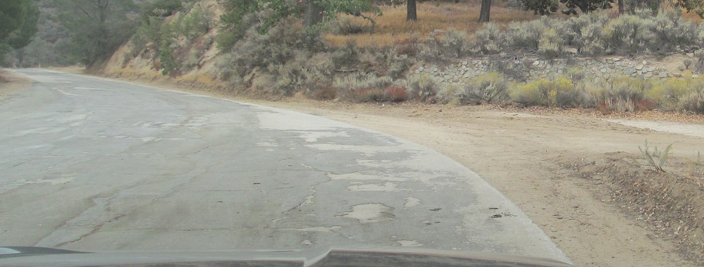
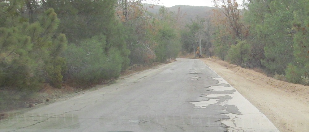
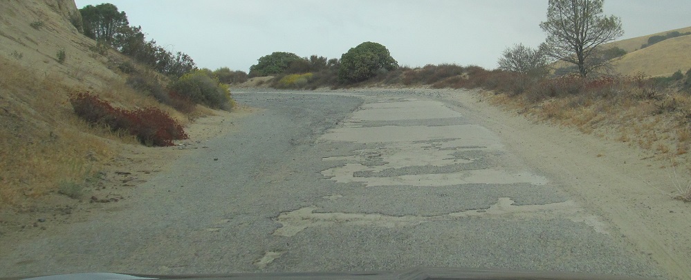
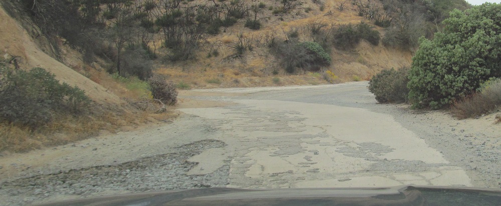
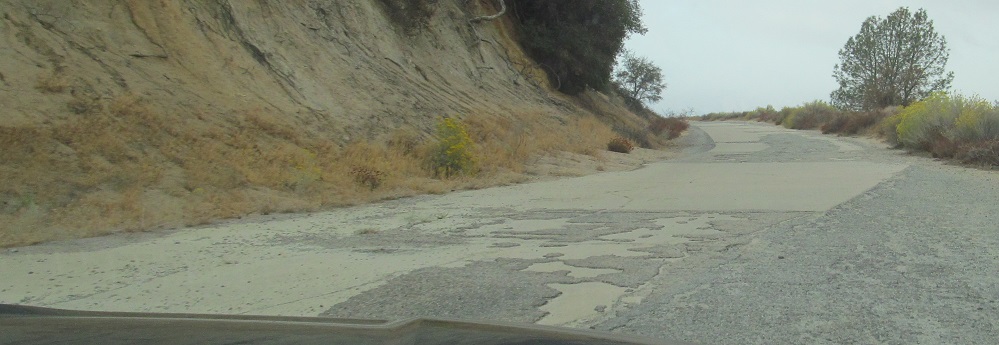
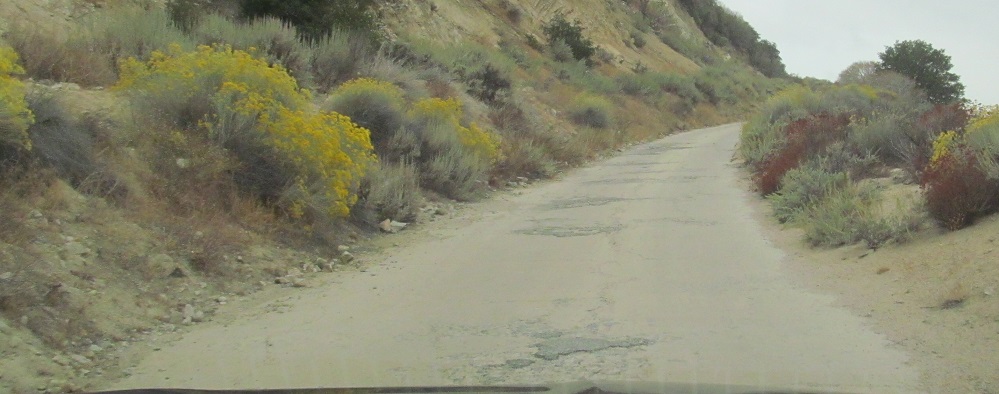
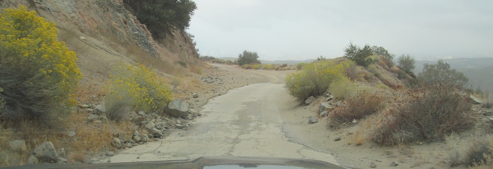
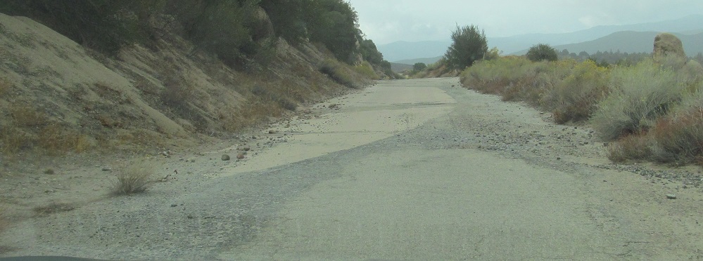
A common theme throughout my drive is the use of asphalt to straighten corners in the original Ridge Route. The road opened in 1915 and was paved in stages from 1917-1921. By 1924 it was already being straightened, with many corners on the serpentine route widened or cut off. In general, concrete was only used on the original 15' roadway, and asphalt served all needs after that, such as making the road wide enough for traffic to pass safely. The last photo passes by the retaining wall from Sandberg's Summit Hotel, one of many ruins along the way of buildings erected to serve early travelers north from Los Angeles back when a day's journey by car was maybe 50 miles.
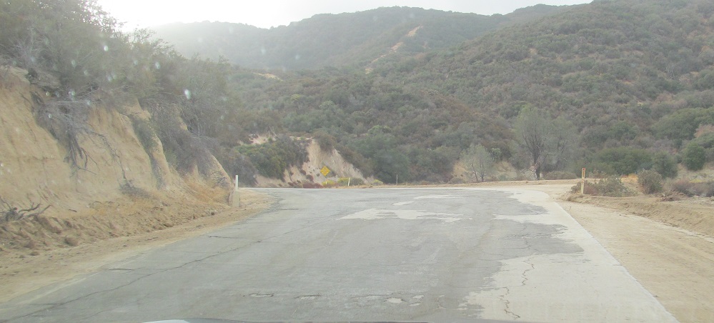
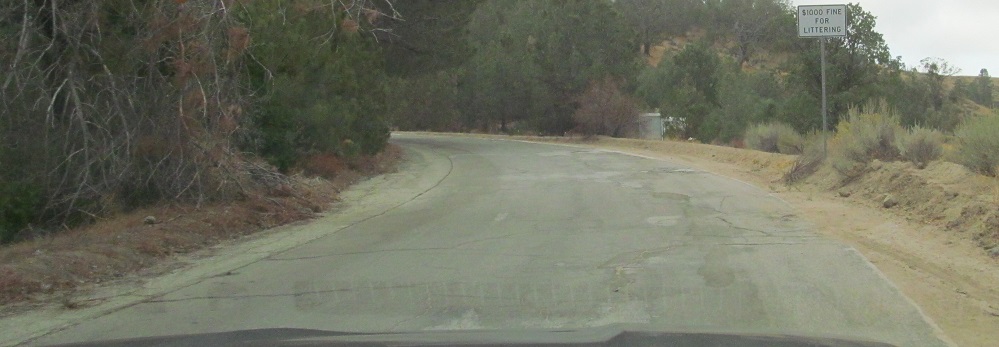
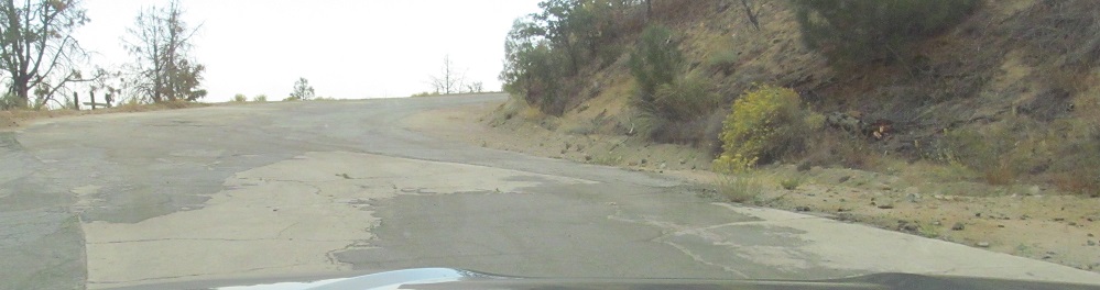
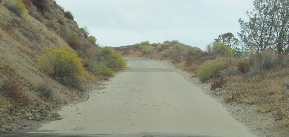
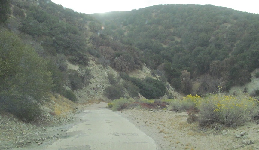
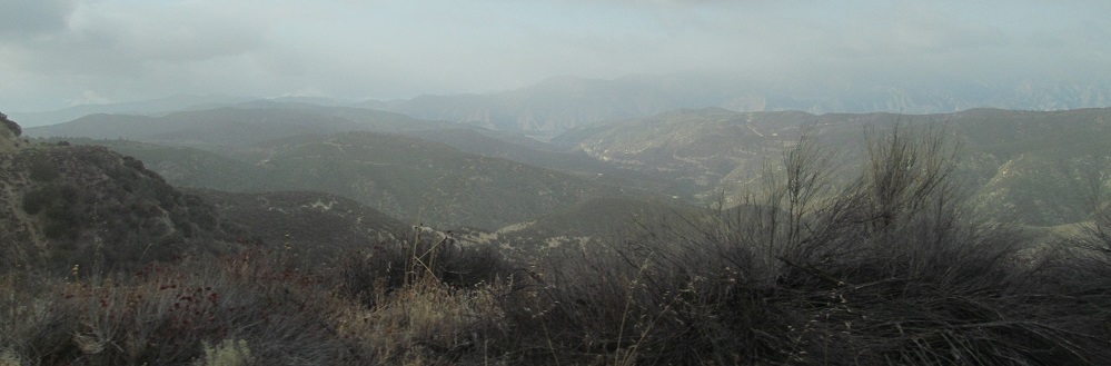
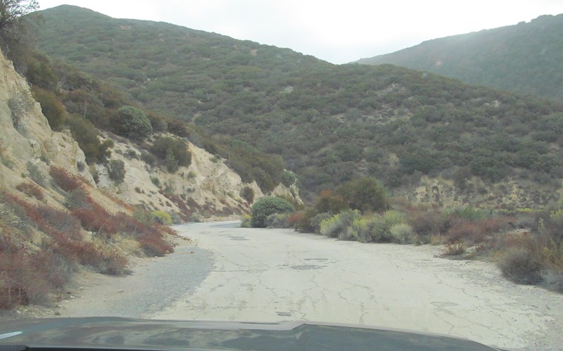
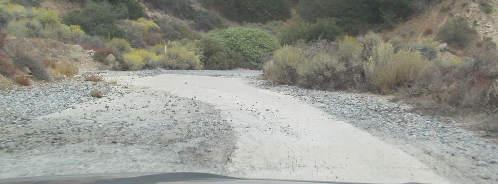
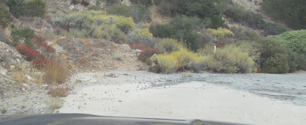
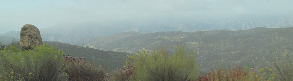
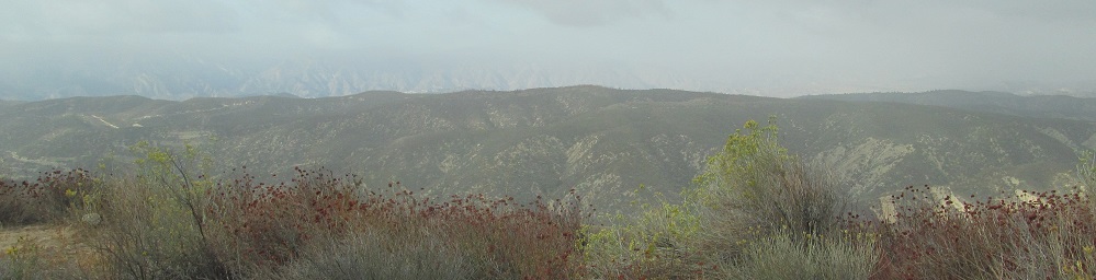
To the end of county maintenance and a look west at Sierra Pelona (popularly "the Sierra Pelona Mountains"). The thin, poorly maintained, but consistent sheet of asphalt to this point will be but a distant memory going forward. The U.S. Forest Service took over jurisdiction from L.A. County in the 1990s in order to introduce maintenance to the route, and so they now take over here. That said, the USFS has a lot less money for road work than a county (or state), hence the Ridge Route lacking funding to remain open.
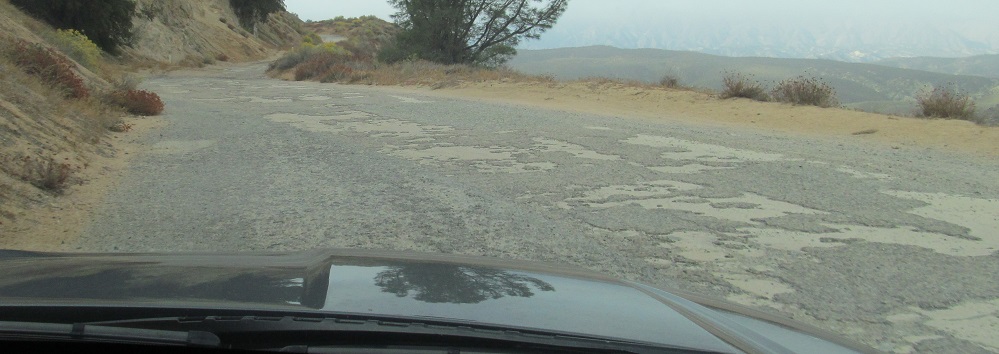
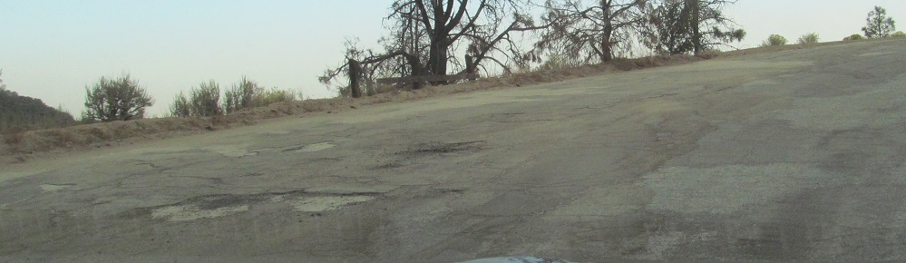
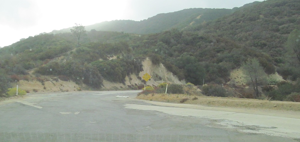
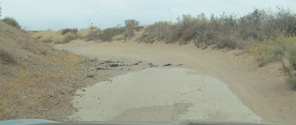
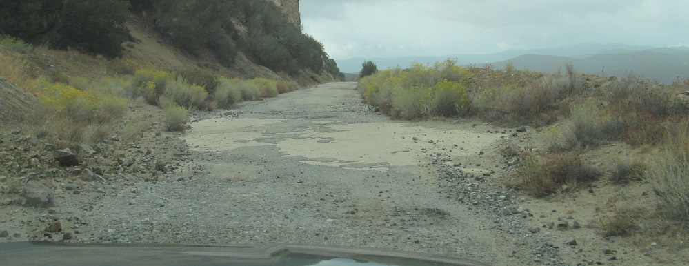
Potholes and shabby old asphalt are some of the problems requiring monetary attention.
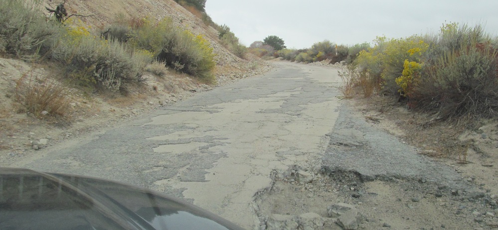
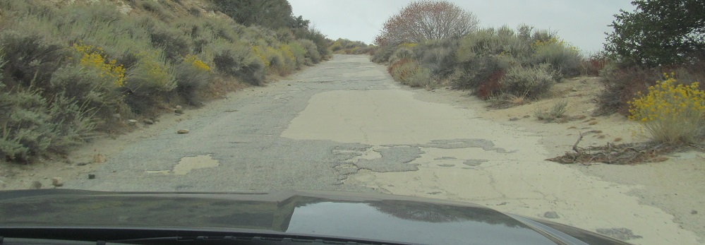
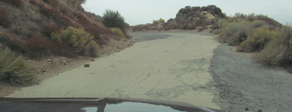
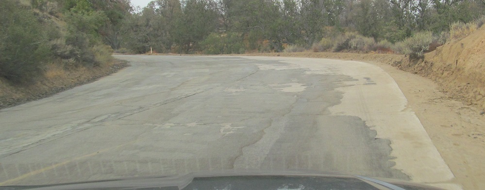
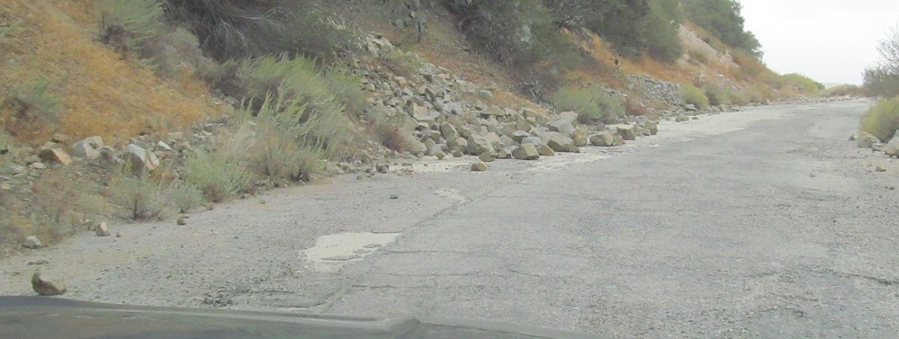
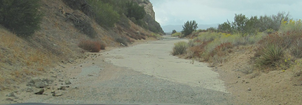
The last photo is a prime illustration of the purpose of the asphalt. It widens and straightens the road and lets traffic get around the unfortunately too-frequent rockslides that take out some of the usable width.
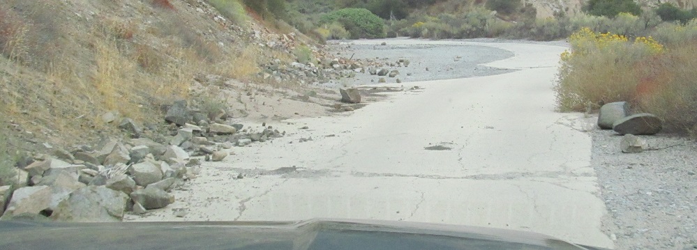
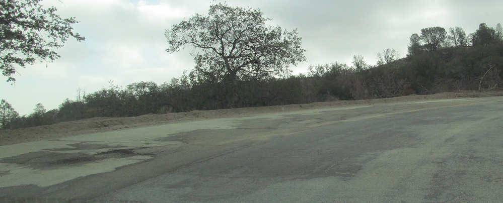
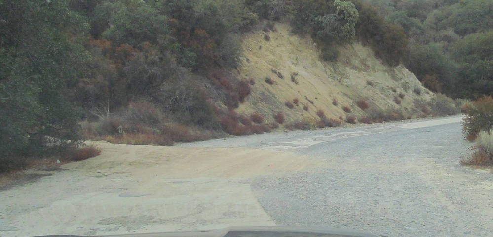
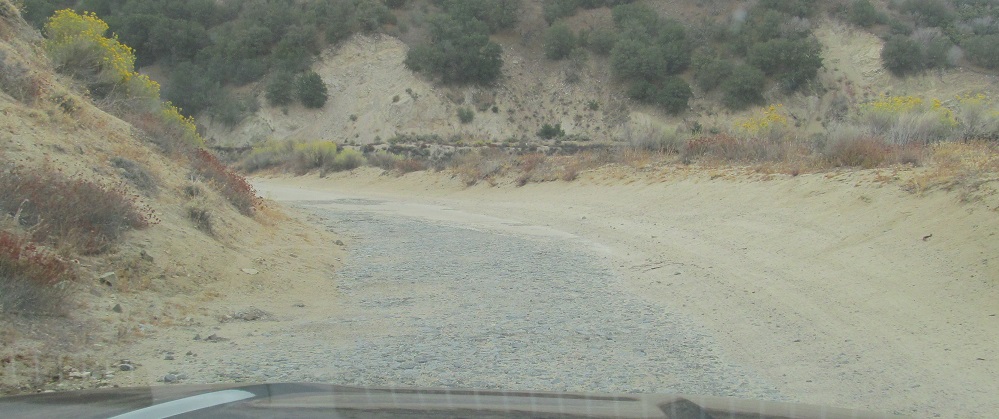
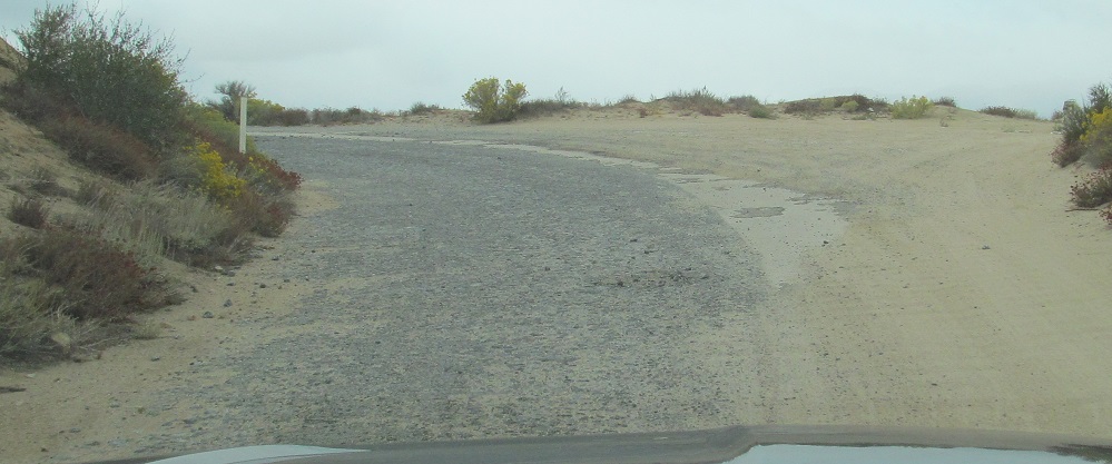
Past a rockslide to a landslide blocking the way. Other than the 1924 straightening, landslides are the main reason you'll have to drive off concrete onto asphalt.
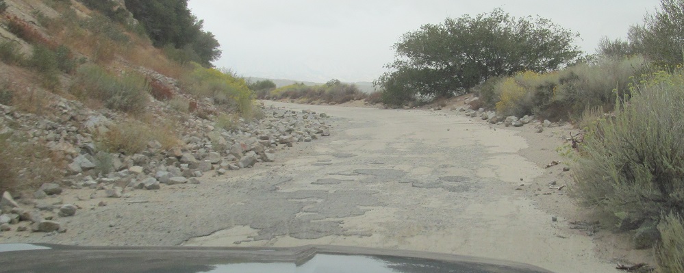
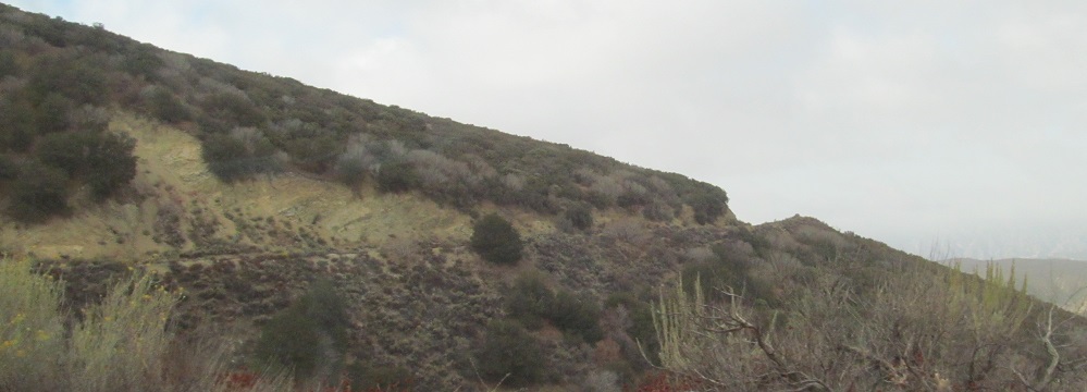
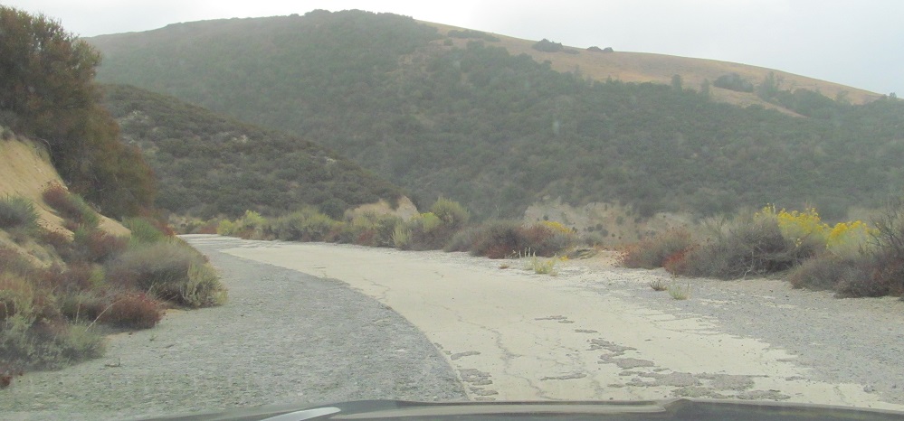
Here we have the opposite landslide problem. The original route swung out wider, but the movement of the slope has carried part of the curve down the hill, necessitating the cutoff.
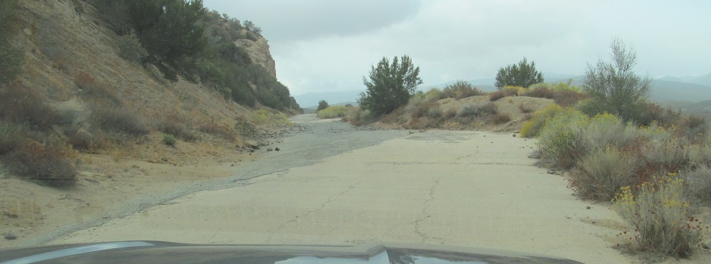
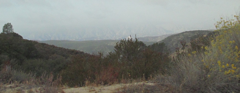
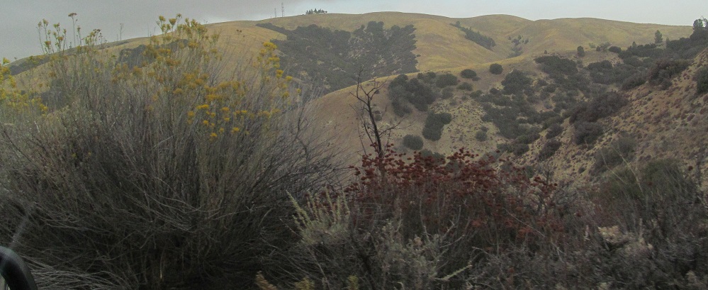
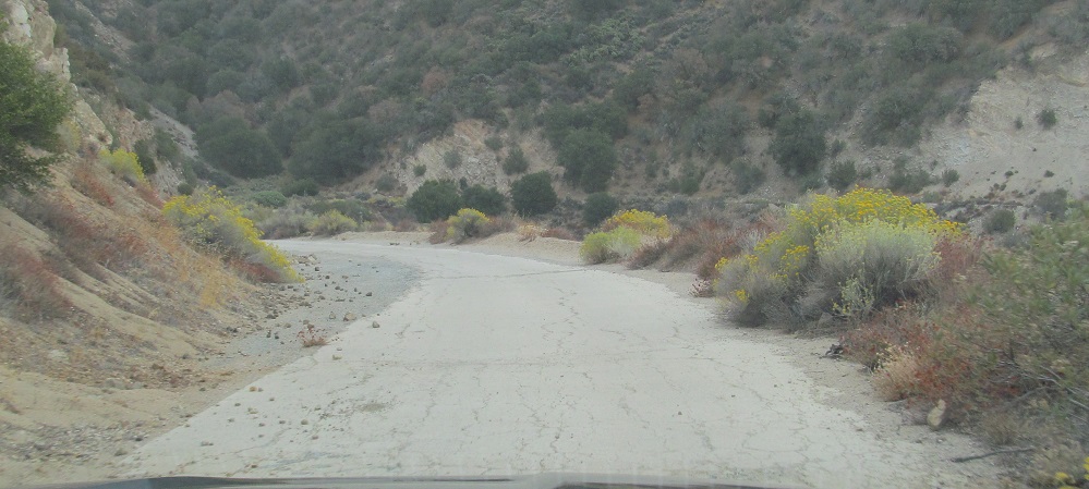
Plenty more of the same. We've made it 8 minutes or about 3 miles from the beginning of the road.
Continue south on the Ridge Route
Back north on the Ridge Route to CR N2
Back to the Ridge Route main page
Back to California Roads
Back to Roads