California Roads - Old US 101 - San Diego & S.
Former US 101, San Diego and south
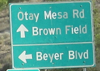
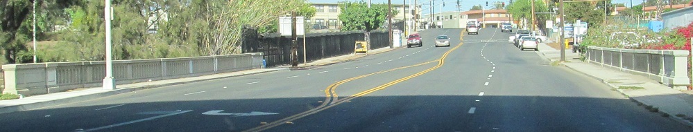
Beyer Blvd. NB turns left with old US 101 from the Mexican border and Otay Mesa Rd. heads east.
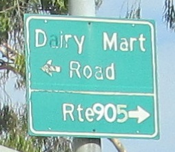
NB through what's now the CA 905 interchange, but the sign at Dairy Mart Rd. suggests that it's old enough to predate that number. It was CA 117 until 1986, so that's the likely answer, but the freeway began life as CA 75.
These are on both sides of the Naples St. intersection in Chula Vista. This one faces west. It's still there, and you can read it even less now.
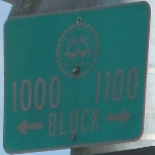
More old signs up to E St., where the old signs seem to be doing better than the new one. How bad is that backing?
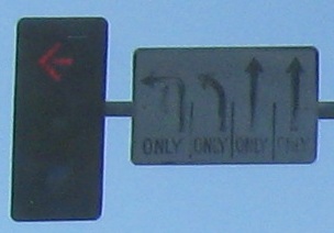
1 NB and 2 SB signs are the remaining button copy here.
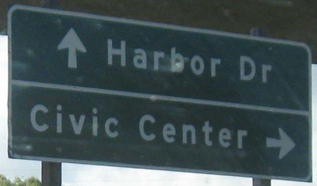
Harbor Drive NB starting with the first sign off of the I-5 NB Exit 11 ramp, and then at Civic Center Dr.
Main St. is the original alignment of US 101 before it moved to Harbor Dr. I once again present 1 NB and 2 SB button copy signs as it enters downtown San Diego.
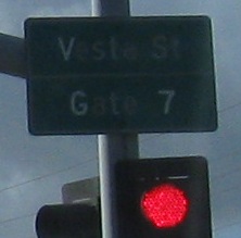
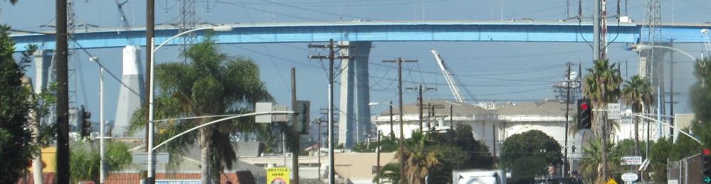
Continuing NB on Harbor Dr., the first two photos are at Vesta St. and the last two photos are at the modern CA 75, the San Diego-Coronado Bridge, looking west (CA 75 SB).
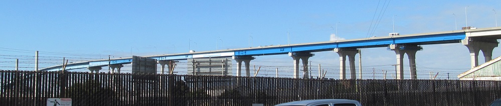
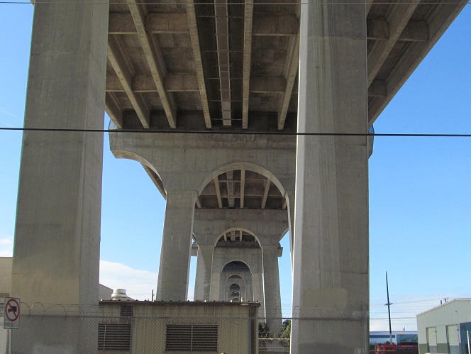
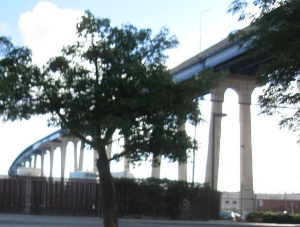
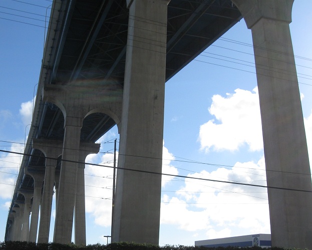
Continuing NB on Main St., the first two photos are at Chollas Creek and the last three photos are at CA 75, again looking west. It's artistic for such a plain bridge.
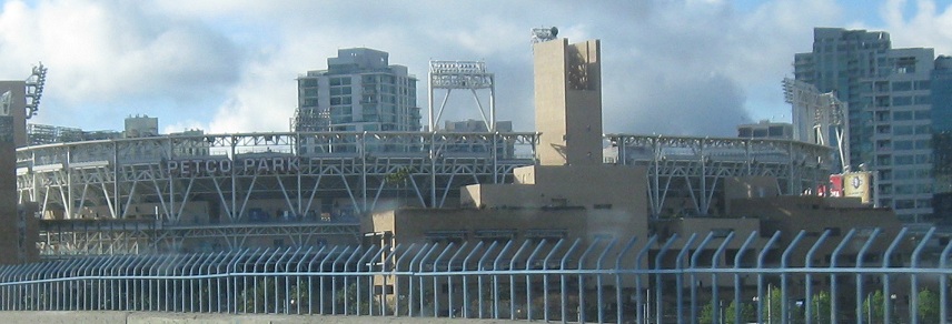
Harbor Dr. NB past the Padres' Petco Park (or whatever it's named when you read this) to the Marina district of San Diego. Harbor Dr. continues north along the water, but old US 101 turned onto the beginning of Pacific Highway and stayed a little more inland. Good thing, because Harbor Dr. ends up curving around to end on Point Loma.
On the older alignment of US 101, this is on Market St. west from 5th Ave. My understanding is that US 80 actually went north from US 101 starting on 4th Ave. (now one-way SB) and this stretch of Market St. was never part of it, but there were so many realignments in this city the sign could be correct.
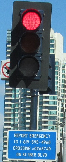
In case of emergency, read this 2" tall text really quickly while driving and follow the complex instructions, and try not to mix up the "D" with a "0". And it's "Kettner."
I think you know where to find the street signs, so I'll helpfully note the I-5 shields are on San Diego Ave. at Old Town Ave.
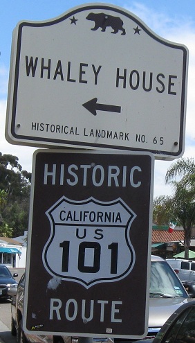
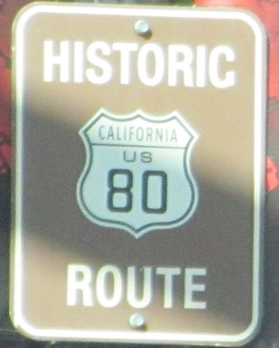
Typical signage in Old Town. Cars are still allowed, and the street parking is typically full, but pedestrians (i.e. tourists) dominate this space. Despite this road no longer being anything close to a through route, it gets to carry a Historic Route sign, whereas I didn't find one in my limited travels along the complete and connected old US 101. Given the number of routes I've seen these on, though, I imagine every former route has at least a few hanging around somewhere. US 101 was truncated to Los Angeles because I-5 took over its function (and sometimes its routing) from there south through San Diego.
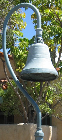
Road-minded Old Town tourists can walk south a little and see this original bell fixture. They were erected along the full length of El Camino Real in 1906, predating the US Highway system, in a similar vein to the painted utility poles used by New England routes and concrete posts for named trails (such as National Road and Lincoln Highway). El Camino Real itself dates to 1769, when California was still Mexican, beginning in Loreto (Baja California Sur), ending in San Francisco, and connecting Catholic missions along the way.
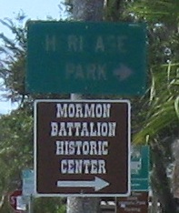
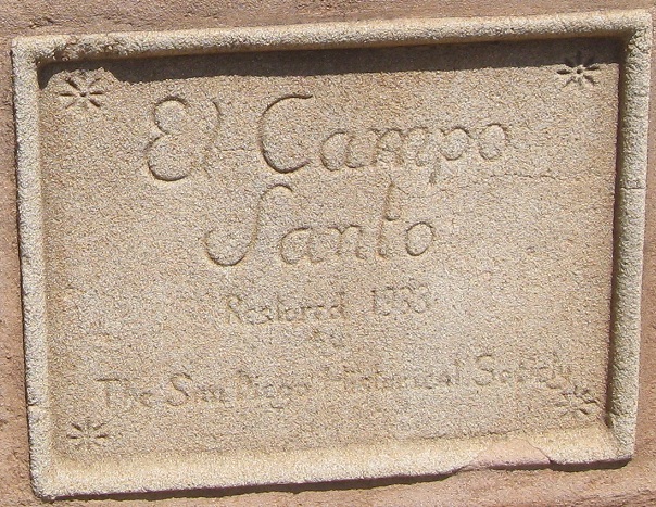
Other old signs on San Diego Ave. in Old Town. The first is NB at Harney St., and points to Heritage Park. (Not Hurliase, among other possibilities.) The second is set into a cemetery wall (I try to avoid photographic gravestones on this site, you may have noticed) just next to the El Camino Real bell. "Campo Santo" is Spanish for "cemetery," literally "sanctified [saintly, holy, etc.] field."
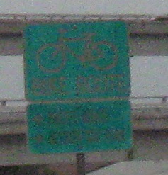
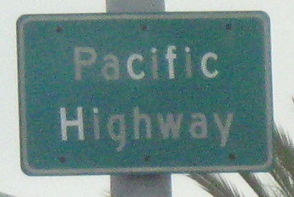
Pacific Highway NB. The bike sign is just past the intersection, and while I didn't get a very legible photo of it, there is clearly a supplemental sign below with two different routes on it. The top arrow appears to be "BIKE XING," but I wouldn't swear to it.
Finally, something southbound! The old-font regulatory signs are also just past the intersection, but they fortunately came out.
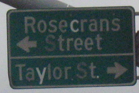
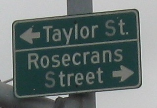
 Taylor St. EB, same place.
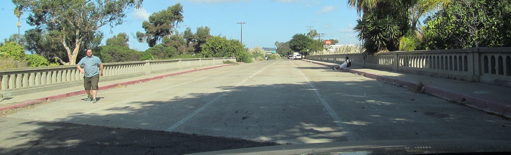
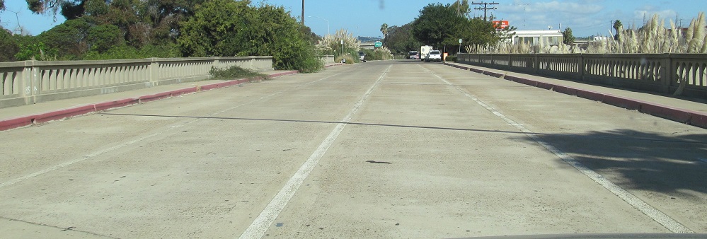
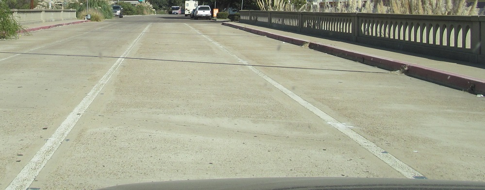
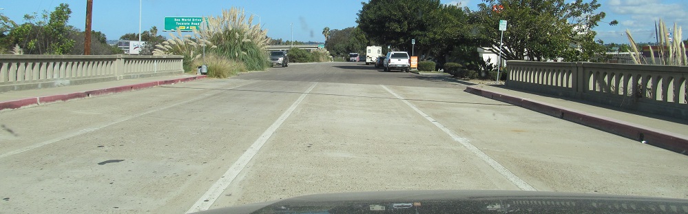
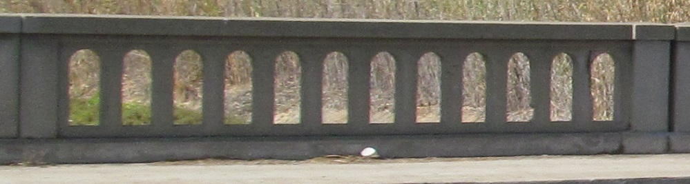
Pacific Hwy. crosses the San Diego River on a long old bridge and then veers west toward Sea World. If you're in the know, there's a short driveway off Anna Ave. that doesn't veer west, and comes to this second old bridge that no one uses and doesn't go over anything anymore. You will be rewarded with original US 101 lane stripes cast in cement. Which, to be fair, you can also see on the San Diego River bridge, but you have to content with traffic there. Both date to 1933.
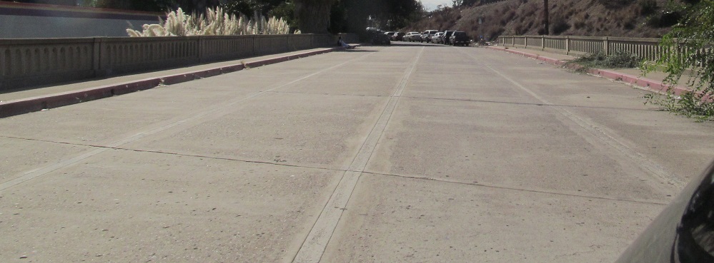
Back south toward Anna Ave.
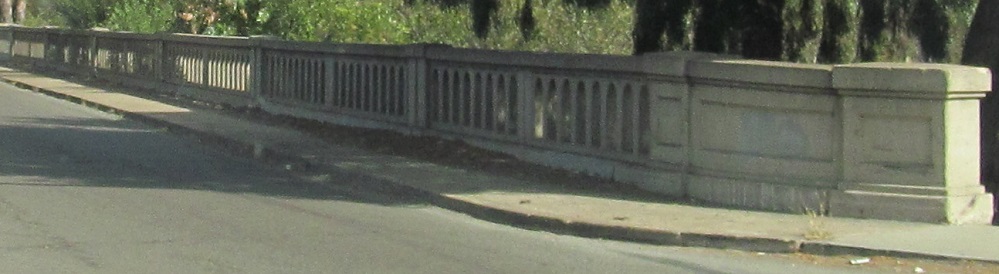
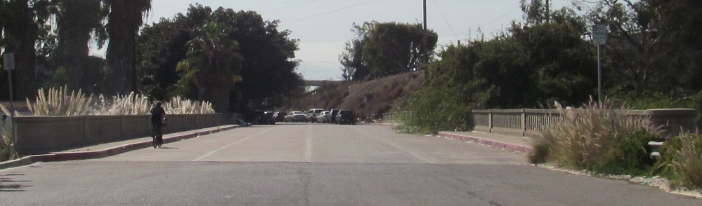
Across Rose Canyon Creek on an older bridge (1930) to an interchange with a surface street.
Continue north on old US 101 to San Diego CR S21
Back to old US 101 main page
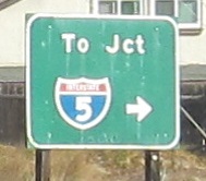
Onto CA 905
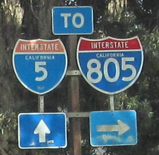
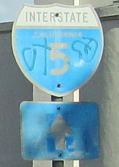
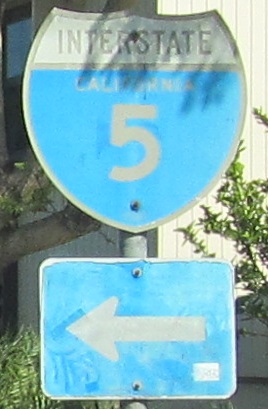
To I-5
To I-805
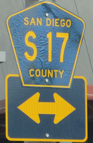
Onto CR S17
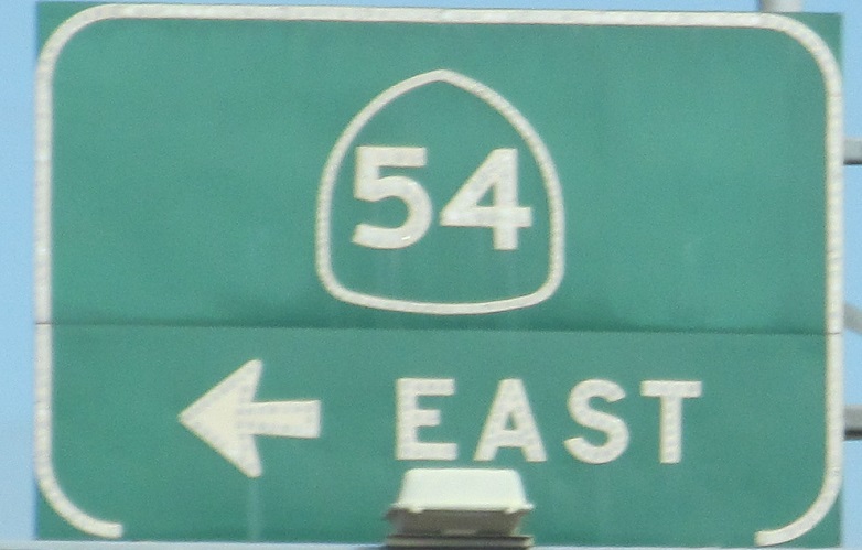
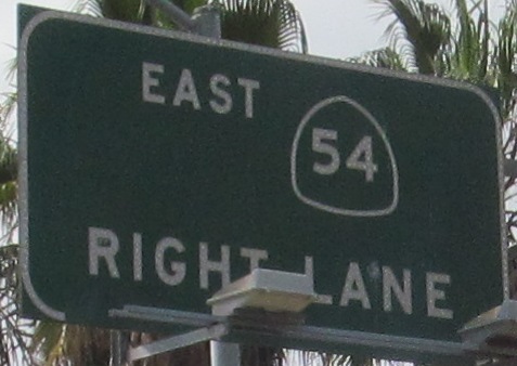
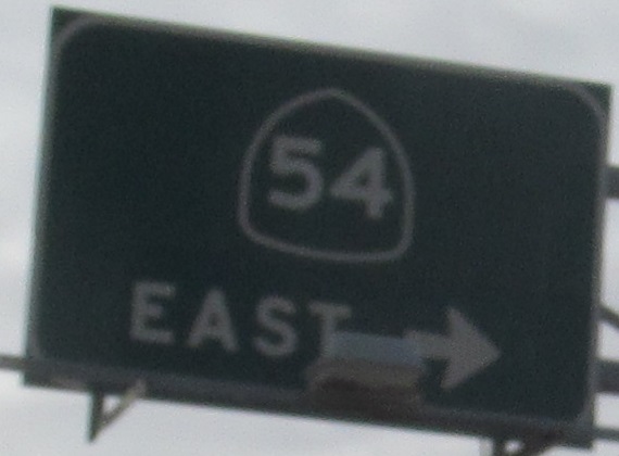
Onto CA 54
Up onto CA 75
Onto old US 80
See more of San Diego
Old US 101 Non-Roads
Back to California Roads
Back to Roads