California Roads - I-80 - Oakland-Vallejo
I-80, Oakland to Vallejo
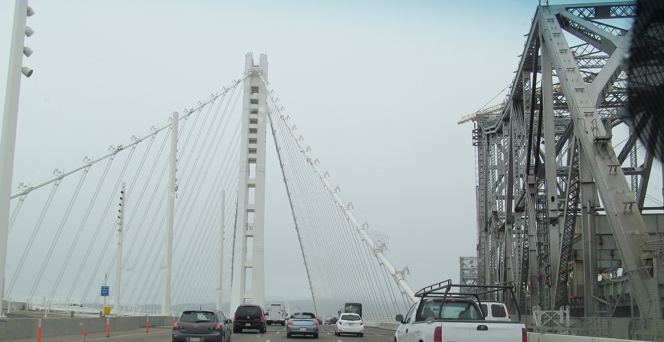
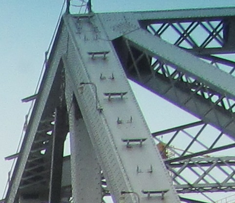
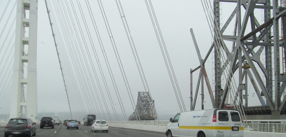
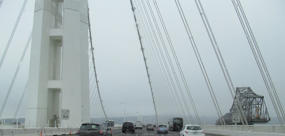
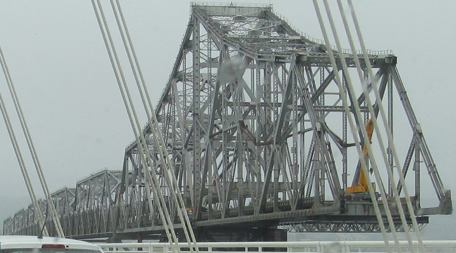
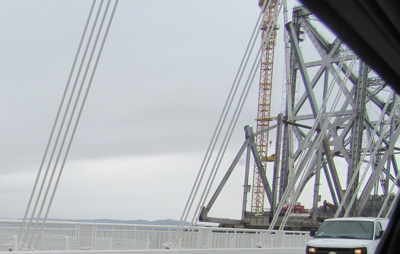
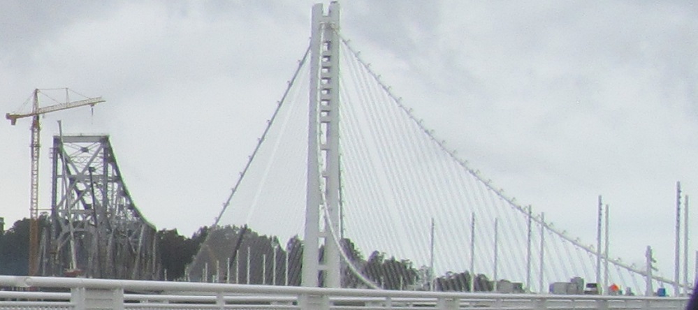
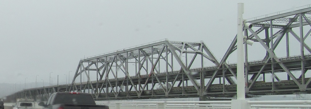
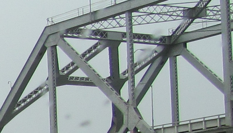
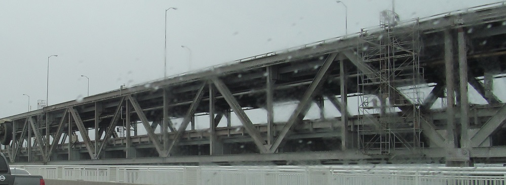
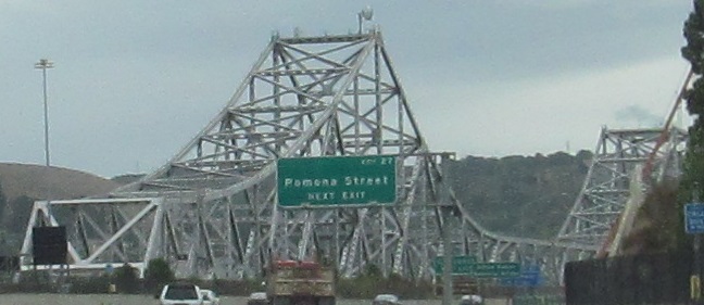
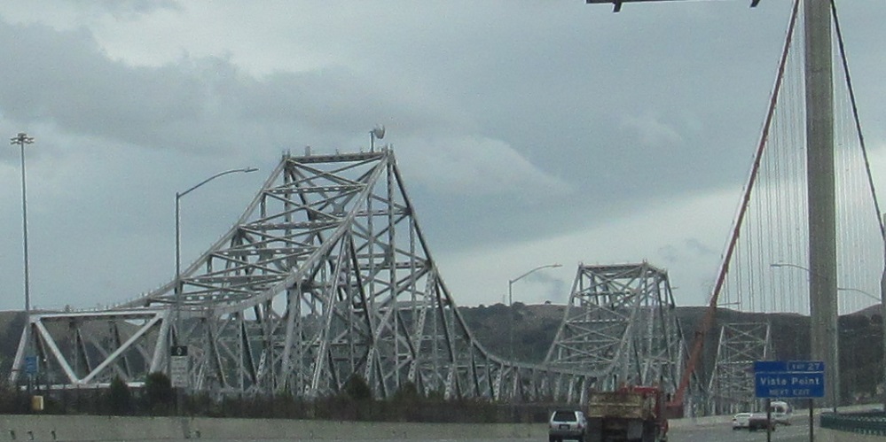
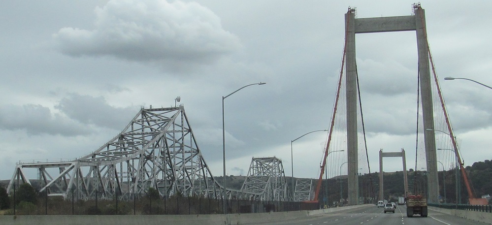
As promised on the previous page, here are views of the old truss as I continue east on the San Francisco-Oakland Bay Bridge. In case you land here first, the truss across the eastern half of the Bay was closed in 2013 in favor of a cable-stayed bridge that is much more suited to withstand earthquakes. One truss span was partially demolished when I visited in 2014, but there is plenty intact to see what the old bridge looked like. The last photo gives you an idea of how a truss is slowly demoed.
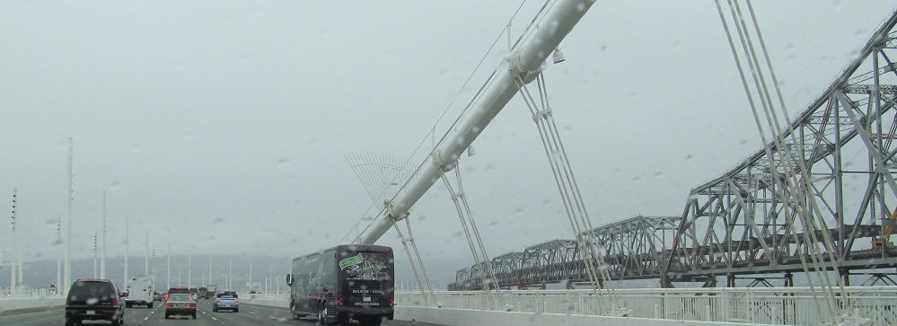
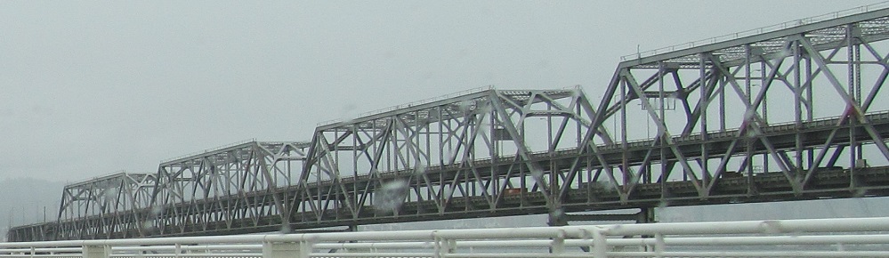
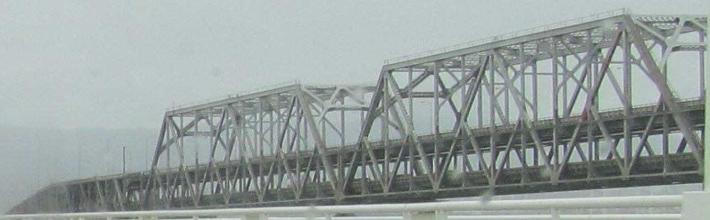
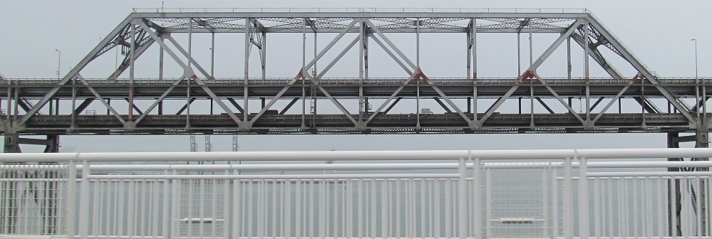
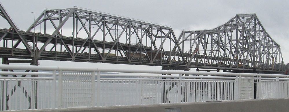
Photos start facing east and gradually turn back west into the demo area because it's the coolest part. You don't usually see it in action.
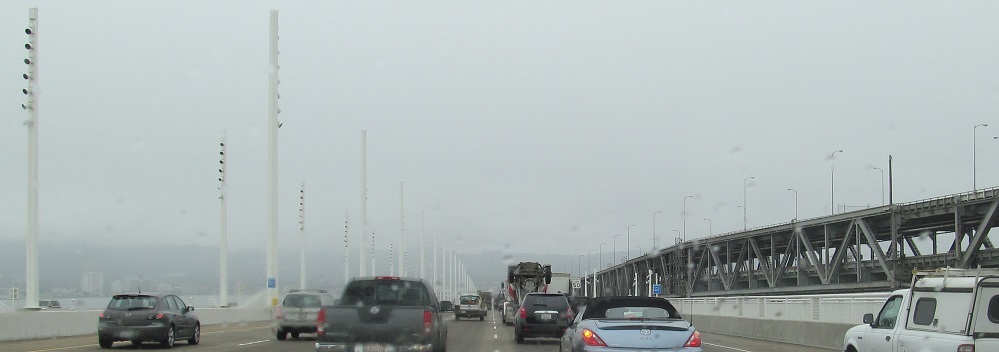
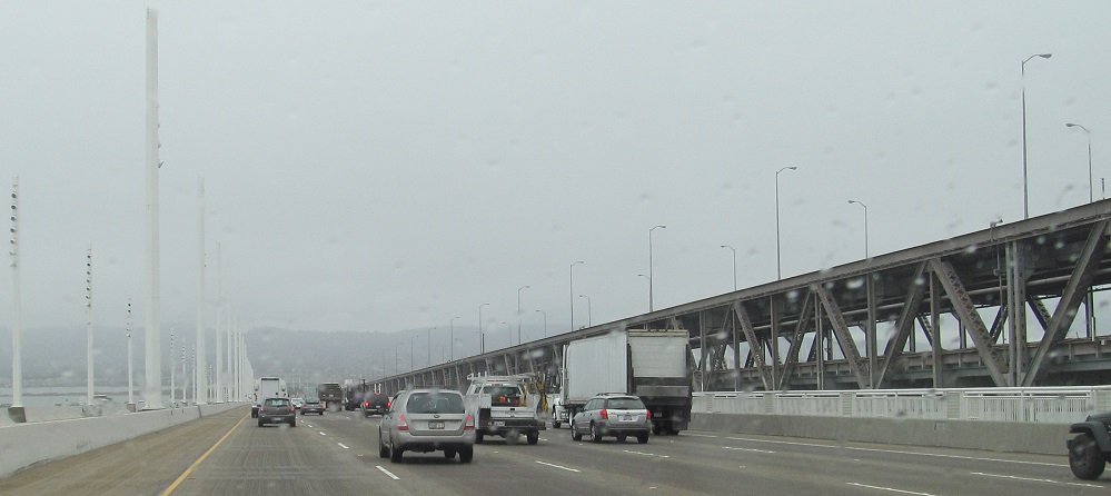
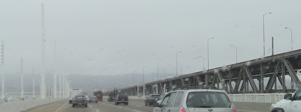
The weird spiky poles on the new bridge are earthquake-proof light poles. Now you know what those look like.
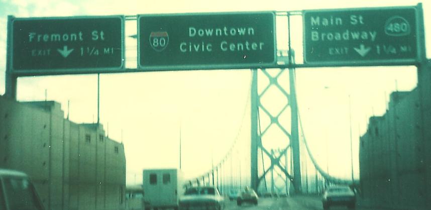
WB at the Oakland portal of the Bay Bridge in 1976, courtesy Michael Summa. CA 480 was the Embarcadero Freeway, pre-earthquake. Now, half of the Embarcadero takes traffic into downtown San Fran, but doesn't carry the number, leaving 180 and 480 available for future Interstates (if any fit). This part of CA 17 is now I-880, once that number was made available from Sacramento. I discuss that more on the next page to the east.
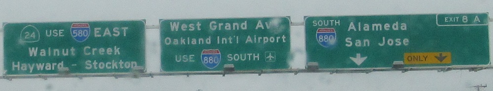
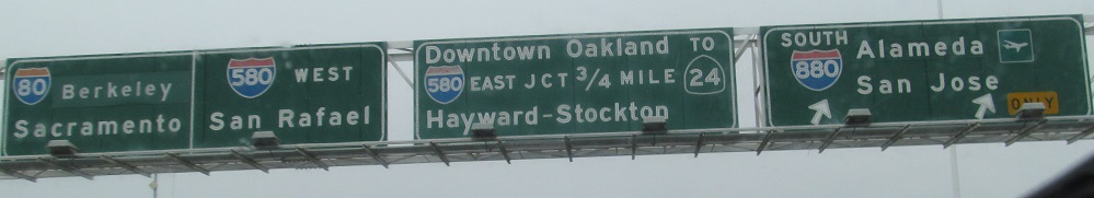
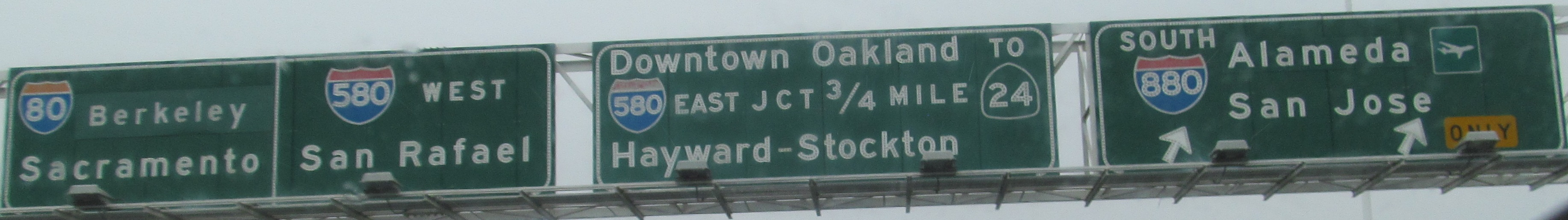
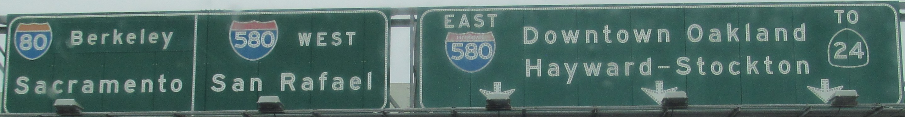
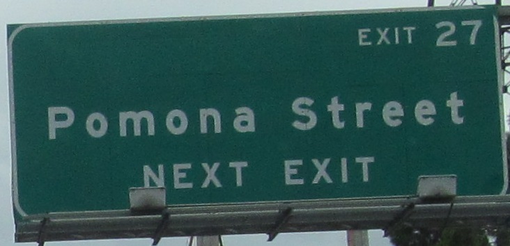
The new sign has squished shields, the old one has tons of button copy, the last one is on the Exit 8A ramp from I-80 to I-880. All are EB; click on the second one for a closeup.
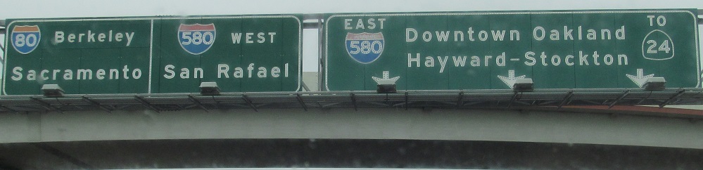
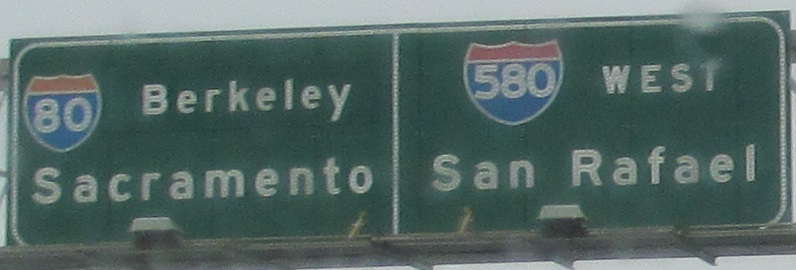
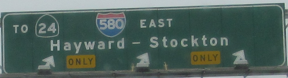
If you hate button copy as much as I do, this must be torturous. You definitely won't want to click on the first photo for a closeup. The last two are left and right on the same gantry, because I like to inflict pain by keeping the signs larger.
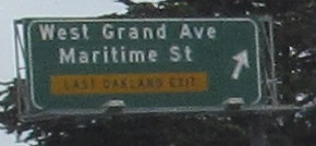
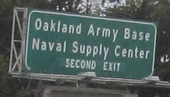
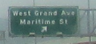
The WB signs confuse me. The supply center is the second exit, but there's only one exit before the bridge, and then you're in downtown San Francisco. Okay, that's not quite true. There's an interchange on Yerba Buena Island that this sign is trying to get you to, but I can think of better ways. Like, oh, exit numbers! Let's try those. (Which California can do now, but not when the sign was fabricated.)
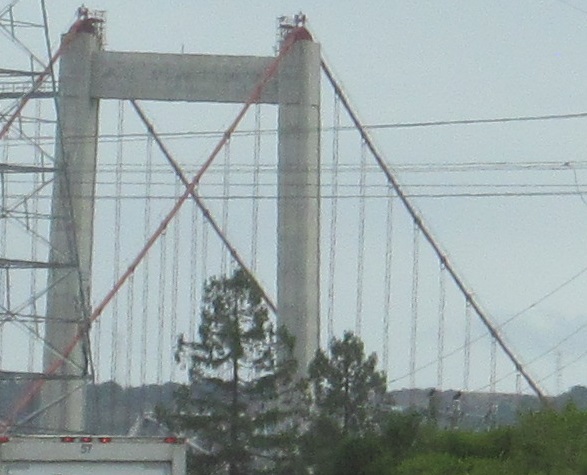
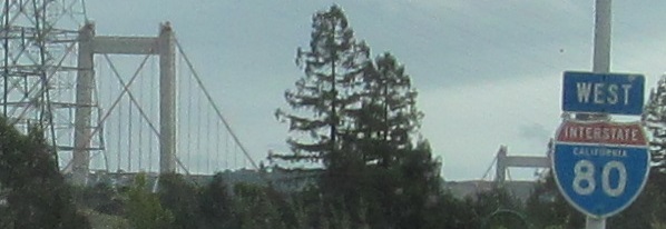
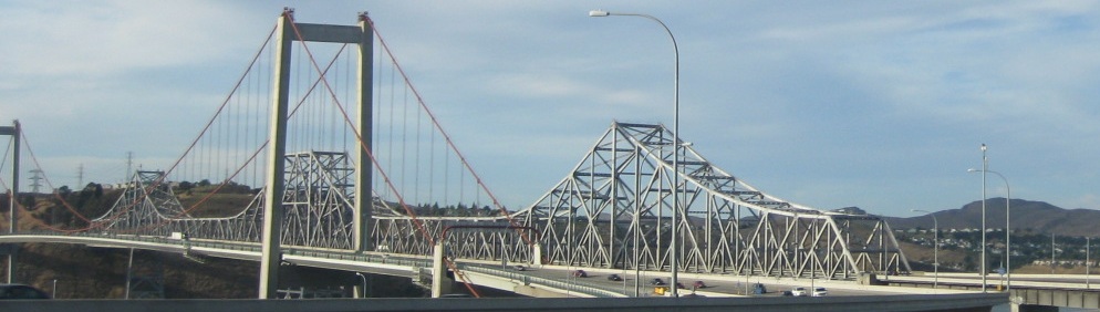
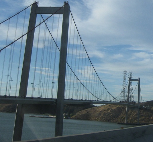
That's one way to do an exit number, but it's not the right way. At least outline something looking like a tab. Anyway, I've flipped direction and I'm leaving Vallejo WB at the Carquinez Bridge over Carquinez Strait. The 2003 WB suspension bridge replaced the original 1927 truss at this location, but the current EB span, built in 1958, is nearly identical except for seismic retrofits that didn't work on the older bridge.
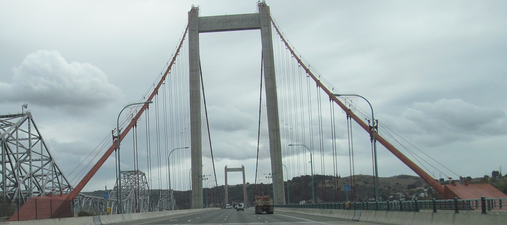
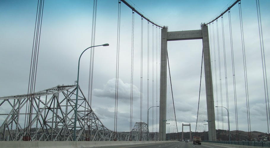
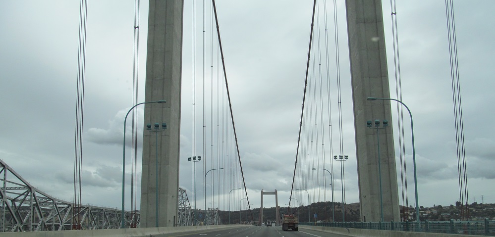
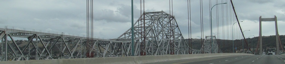
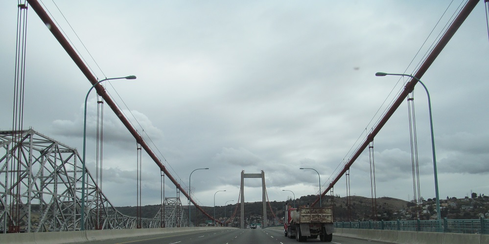
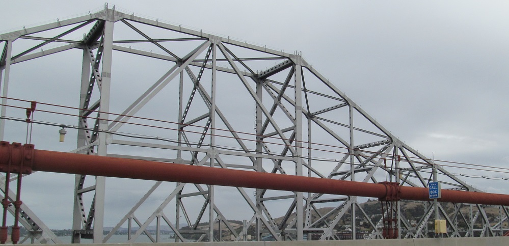
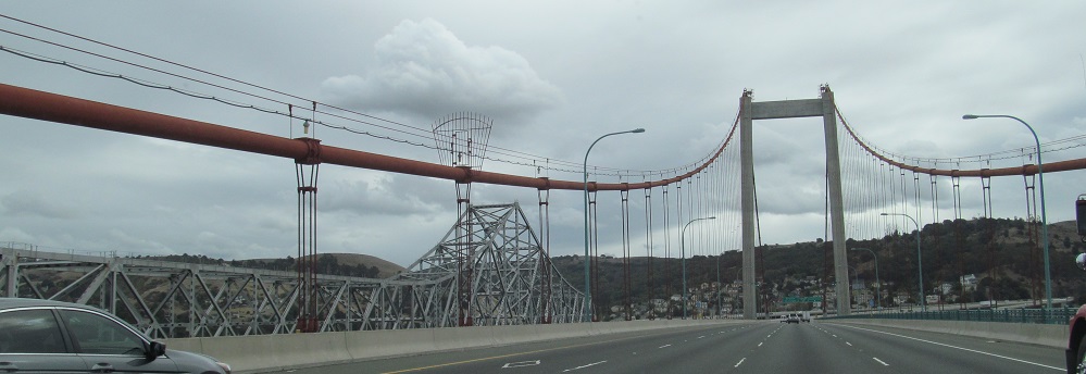
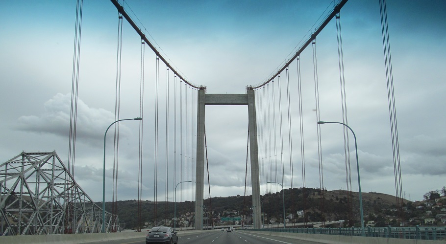
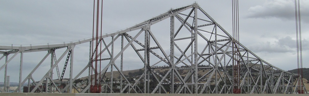
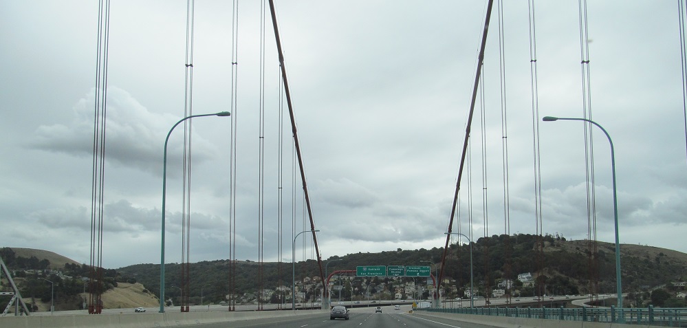
Across the bridge, with frequent looks at the more interesting truss. At least the rust-colored cables are interesting, and at least WB isn't cable-stayed.
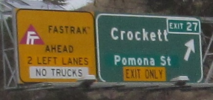
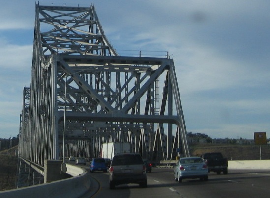
Back east toward Vallejo, all but the first photo courtesy Lou Corsaro. You can see the effect of trying to retrofit button copy with exit numbers in my photo.
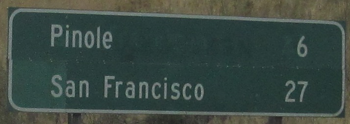
Back to the WB side, the distance sign should be in Series E (wider) font when on a freeway.
A look west across San Pablo Bay toward the North Bay area.
(Exit 8B to) I-580 EB and I-80 WB
I-580 WB and I-80 EB
Continue east on I-80
Back west on I-80
Back to I-80 main page
Exit 8A to I-880
Back to California Roads
Back to Roads