California Roads - I-8 WB - W. of CA 125
 west of CA 125
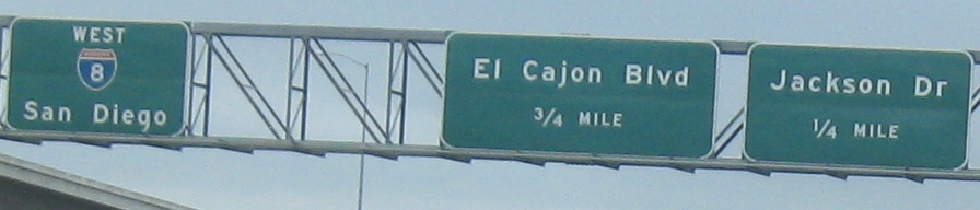
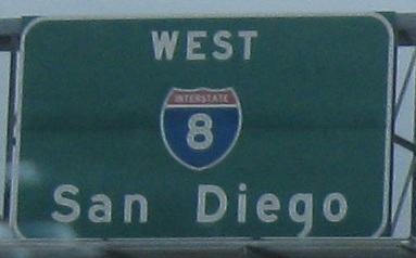
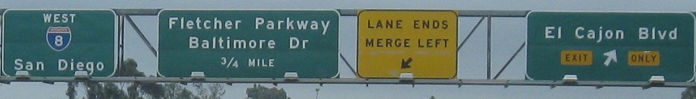
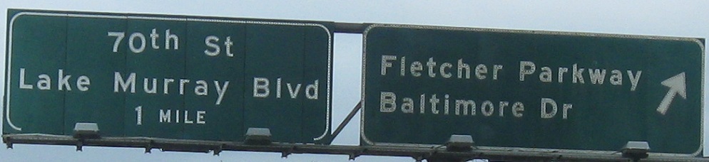
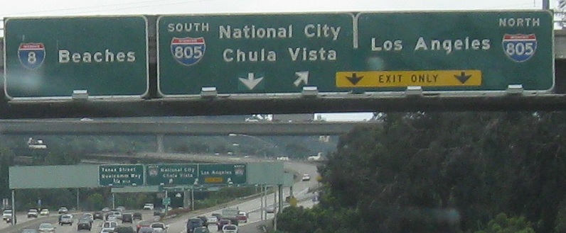
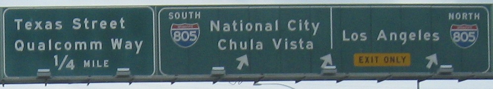
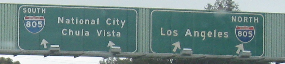
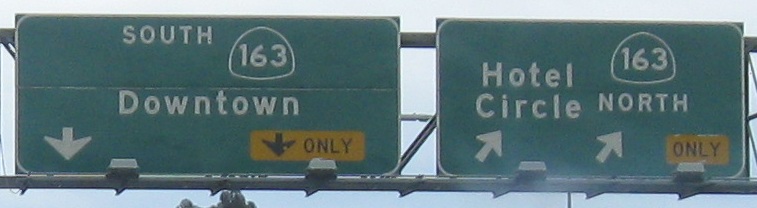
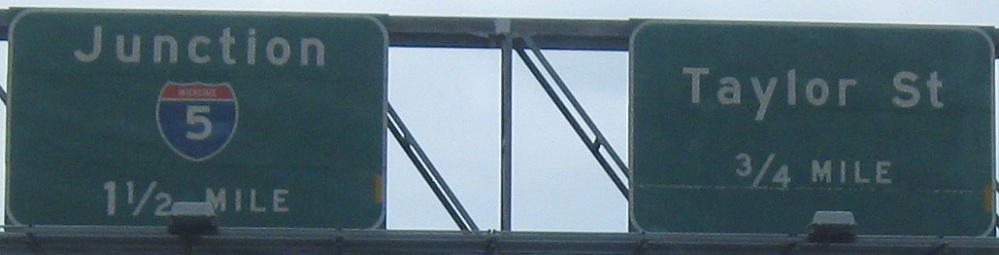
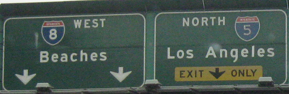
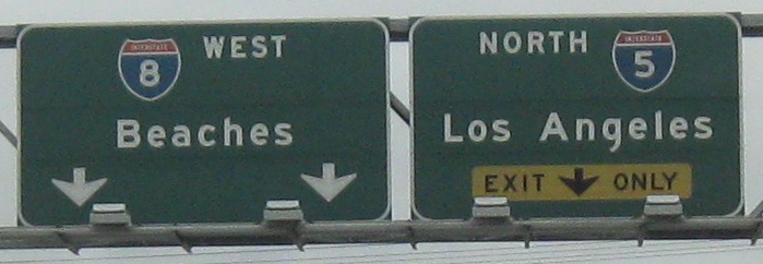
The last two photos are on the left and right of the same gantry.
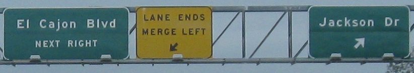
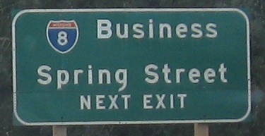
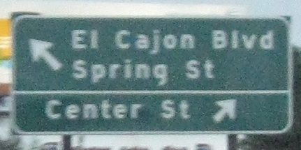
The last photo is on the Exit 13A (El Cajon Blvd.) ramp. Business I-8 has been decommissioned here inside San Diego, so the advance sign should be replaced. Especially now that I've seen it and gotten a good photo.
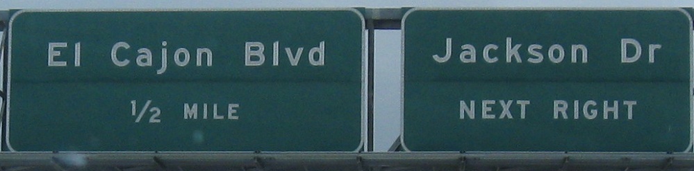
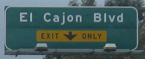
And these are on Jackson Dr. NB at Exit 13B.
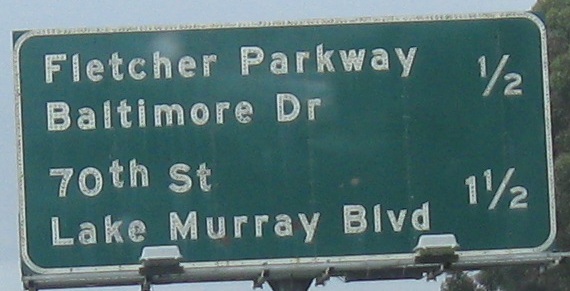
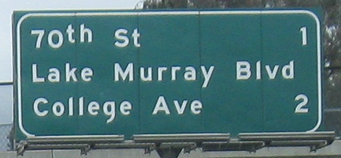
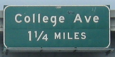

That advance distance sign is just a bit confusion - is Lake Murray Blvd. part of the 70th St. exit or College Ave.? Of course, that gets resolved quickly, but perhaps some formatting could have staved off the confusion.
College Ave. NB at Exit 10.
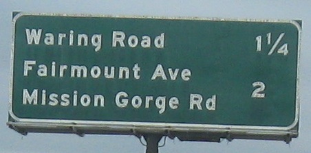
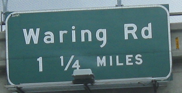
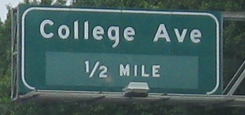
Why provide the overpass-mounted Waring Rd. sign when it shows the same distance as the median sign? (This doesn't address the bigger question of how the distance doesn't change between the two.) At least knock the Ľ off.
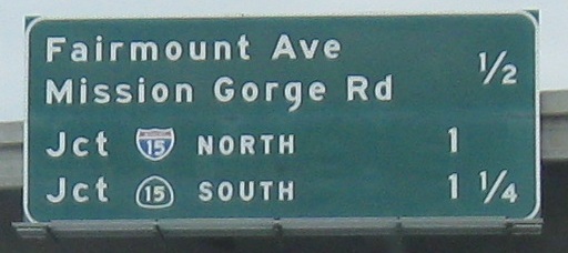
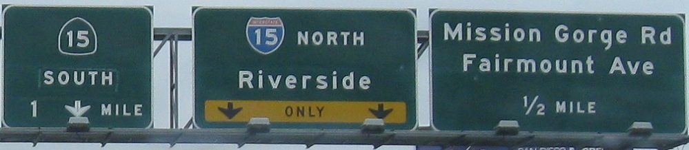
The onramp from Exit 8 (Mission Gorge/Fairmount), which braids with the Exit 7 (I-/CA 15) interchange.
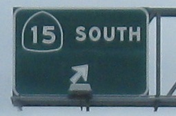
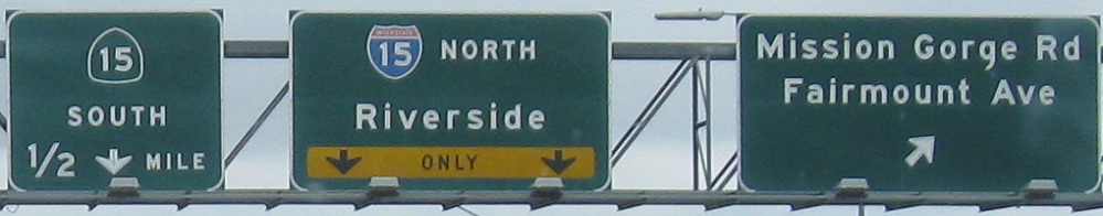
Mainline photos heading off the Exit 7A C-D road, which is also handling onramp traffic from Exit 8 (past the signs associated with the last caption). The first photo appears to show two different ages of signs, which makes sense because I-15/CA 15 didn't come out this way until 1982. Before then, 15 followed what's now CA 163, whereas I-805 has been around quite awhile longer.
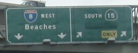
What's up with the extra right arrow on the advance gantry? I guess that one was supposed to have been covered when the rest of the sign was altered. Right now, it makes traffic in the third lane merge into the I-805 NB lanes, while simultaneously not having to merge thanks to the down arrow. The last photo is on the Exit 6B ramp.
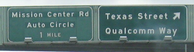
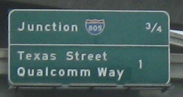
The last two photos are on the Exit 6A ramp, obviously a bit far away from the mainline. Qualcomm Way was renamed from Stadium Way when, well, when the stadium was renamed, of course.
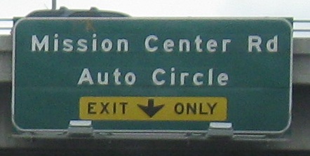
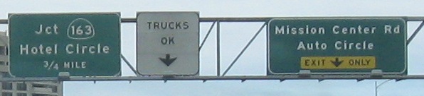
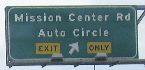
As for Mission Center Road and Auto Circle, the renaming here is just that the BGS's formerly said "Mission Center" / "Road" on the two lines, and that clearly wouldn't fly when the Auto Circle came into being. (It's a big node of car dealers, and really doesn't deserve to be named.)
Auto Circle NB and Mission Center Rd. SB, respectively, at Camino Del Rio, courtesy Lou Corsaro.
The last 2 photos are on the Exit 4B ramp. There's actually a fair amount of distance between them. The last one wasn't well done; without button copy, the arrows have disappeared. (This is why button copy is important.)
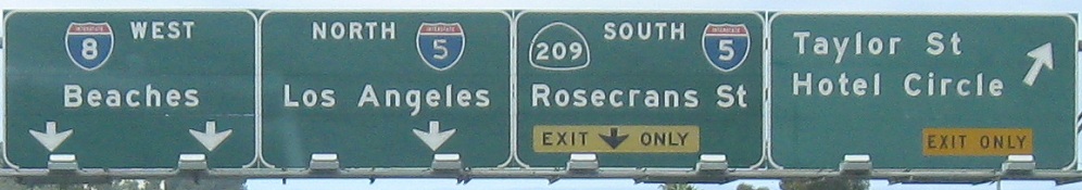
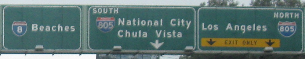
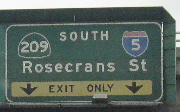
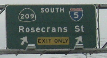
Note that CA 209 is shown for Rosecrans St., but the route was decommissioned in 2003. That's a fairly common error on Caltrans' part, which they may slowly be addressing with the new signage going up. Don't be surprised if even some of the new ones get it wrong, as sign engineers are prone to carbon-copying past efforts, especially when there are tens of thousands of guide signs across the state on the list.
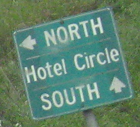
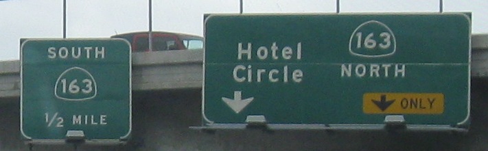
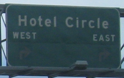
Hotel Circle South EB, then turning left toward I-8 WB. Hotel Circle North begins at an intersection with the WB ramps quite close to the freeway, which isn't really the safest arrangement.
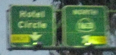
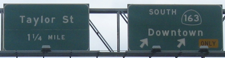
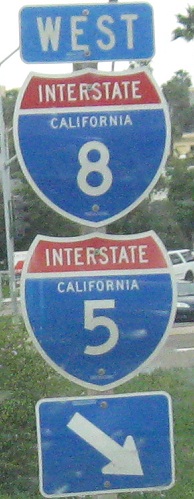
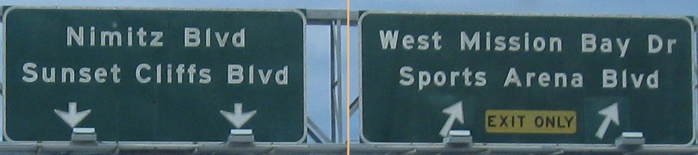
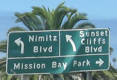
On the left and right sides of the same gantry.
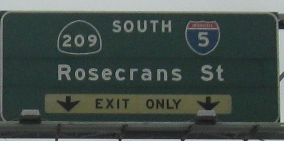
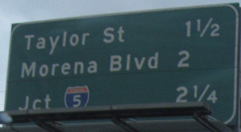
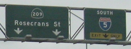
The last two photos are also on the left and right sides of the same gantry. Again note the presence of CA 209.
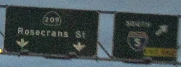
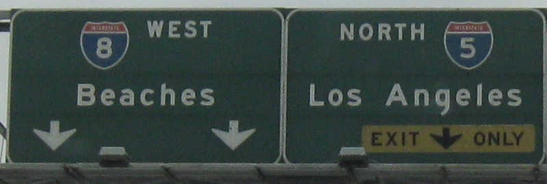
Once again, the first two photos are on the left and right of the same gantry. The last two photos are on the Exit 2B ramp.
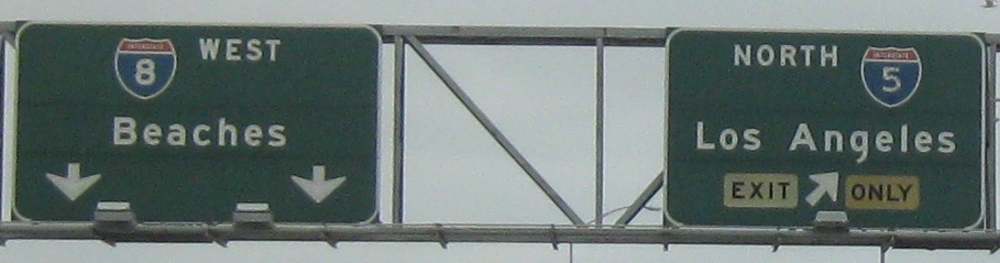
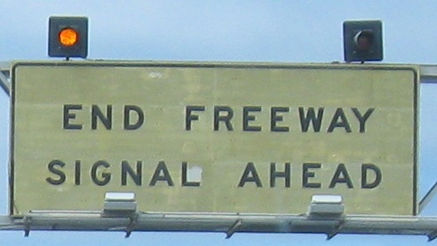
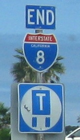
And that's all she wrote. This section west of I-5 began life as CA 109 before being accepted into the Interstate system in 1972.
Over to the EB side
Back east on I-8 WB
Back to I-8 main page
Onto El Cajon Blvd.
Onto Mission Gorge Rd.
Onto I-15
Onto CA 15
Onto I-805
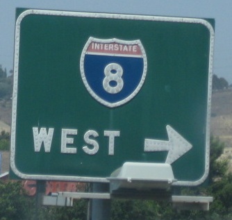
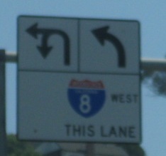
Onto CA 163
Onto I-5
Onto former CA 209
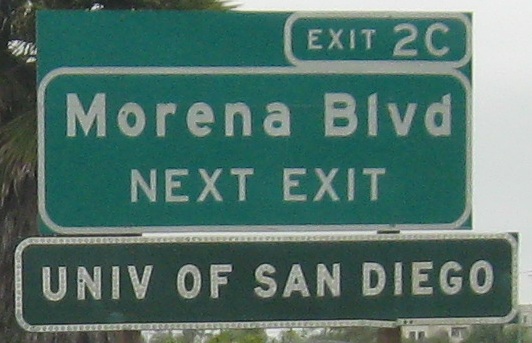
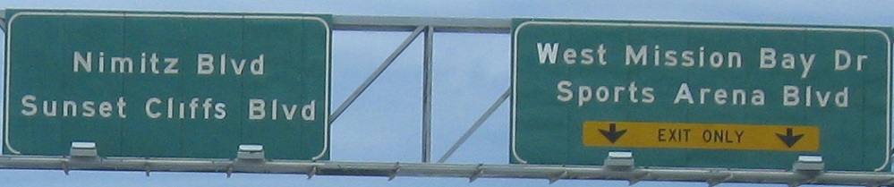
Exit 2C to Morena Blvd.
Exit or straight to Mission Bay
See more of San Diego
Back to California Roads
Back to Roads