California Roads - I-280 SB
I-280 southbound
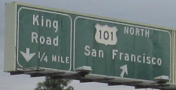
Starting in San Francisco until I exit the city and come to CA 1.
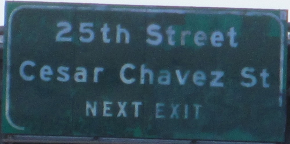
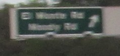
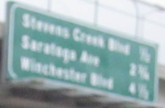
With and near CA 35, the only button copy left in the long northern stretch by the San Francisco State Fish and Game Refuge.
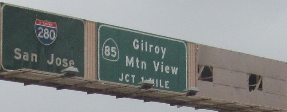
The blank sign next to the 1-mile Exit 12 (CA 85) advance looks like a sign panel was ripped off and not replaced with anything. It's been that way since at least 2007 and there has never been any other exit in the upcoming 1 mile, so my only theory is that the CA 85 SB and NB exits were once signed separately from this far away.
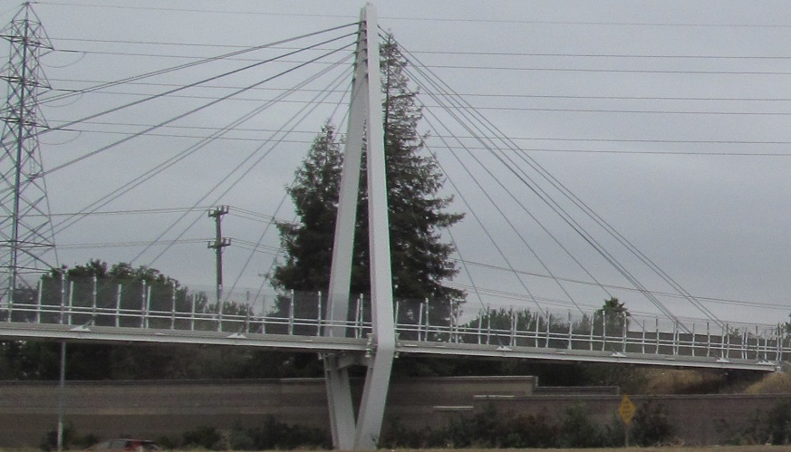
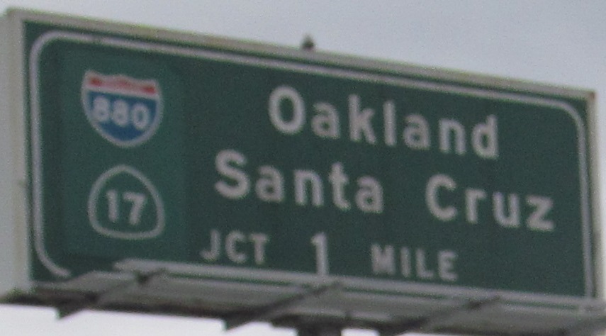
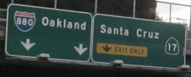
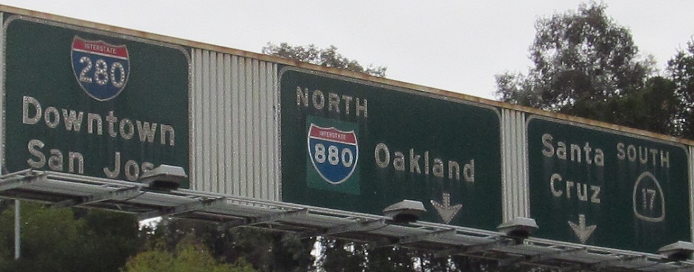
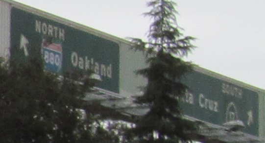
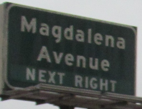
From the 2008 Mary Avenue Bridge, the only cable-stayed pedestrian bridge over a highway in CA, ending up on the Exit 5B (CA 17) ramp. North of here, CA 17 became I-880 in 1984.
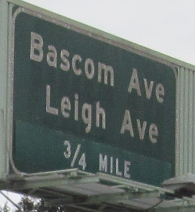
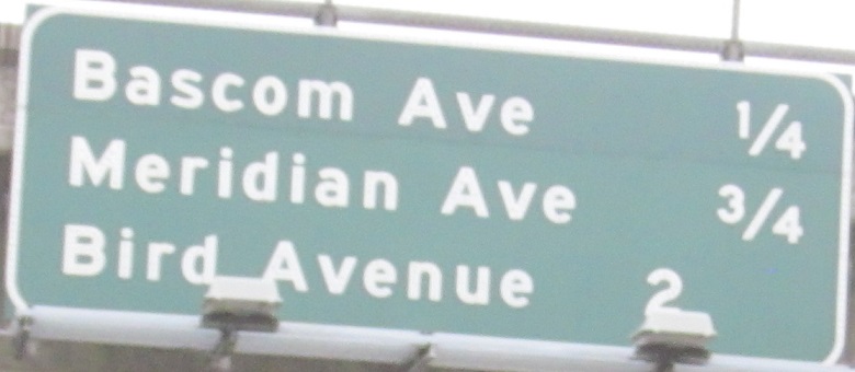
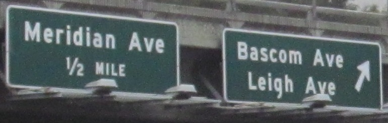
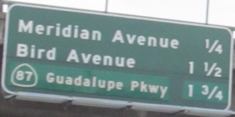
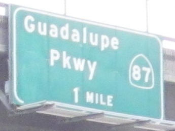
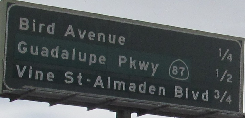
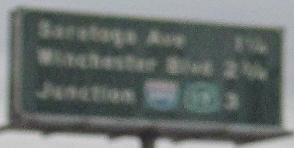
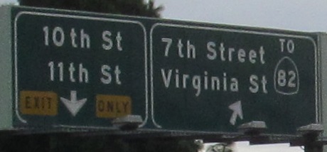
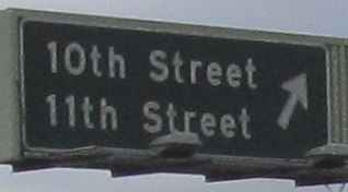
The last sign has a Guadalupe Parkway patch, while the previous exit distance sign also patched over the distance. How could the distance for only this exit change on one sign but not the other? The bulk of the patching is because CA 87 was barely complete well into the 1980s, only open to the north and only as far as Julian St., which is probably the name under the patch.

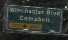
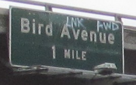
The last photo is on the C-D road entering from Exit 3B (Bird Ave.). Both of these exits weave with Exit 3A (CA 87) ramps without connecting.
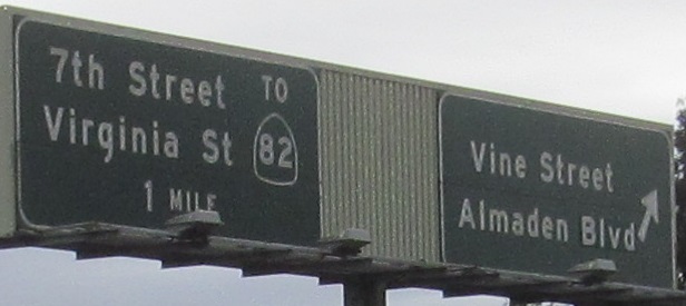
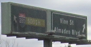
The last two photos are on the left and right of the same gantry.
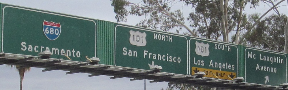
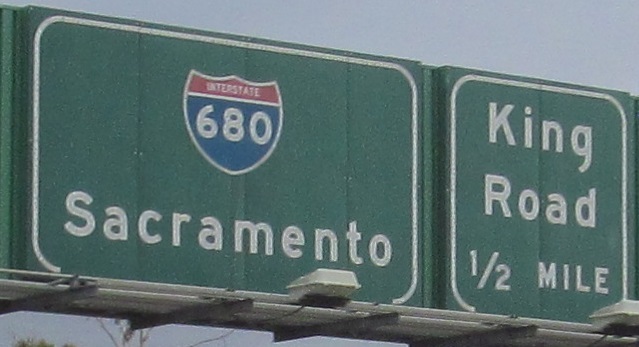
After this, I-280 becomes I-680 and heads back north. Rather than sign the continuous freeway with one number, California wanted to limit the confusion of having the same number parallel to itself.
Over to the northbound side down to Exit 13 and Exits 12B-1
Continue straight onto I-680 NB
Back to I-280 main page
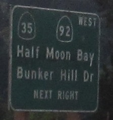
Exit 34 to CA 92
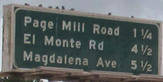
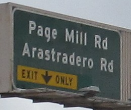
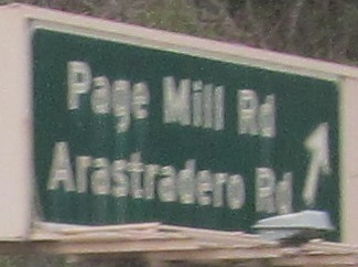
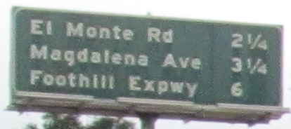
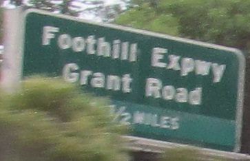
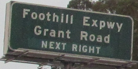
Exit 20 to Page Mill Rd. (CR G3)
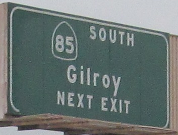
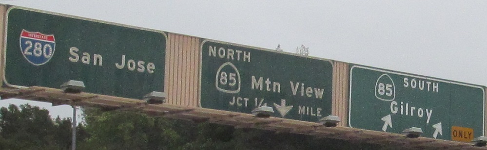
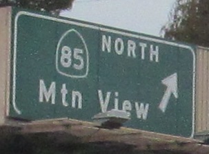
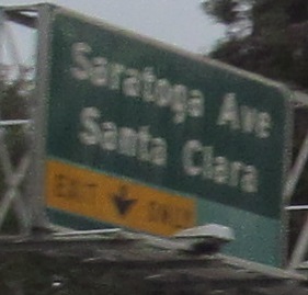
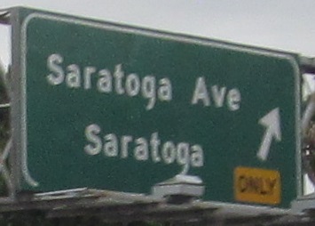
Exit 12 to CA 85
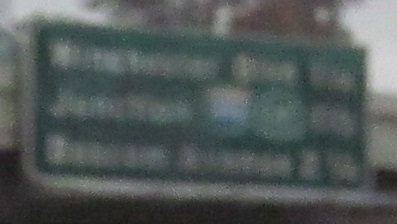
Exit 5B to I-880
Exit 5B to CA 17
Exit 3A to CA 87
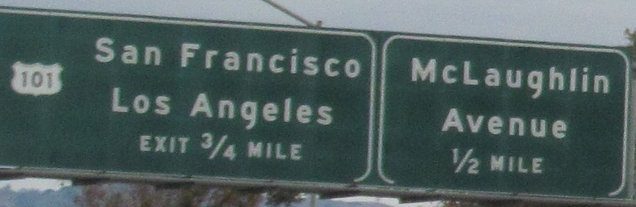
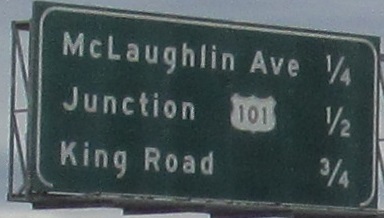
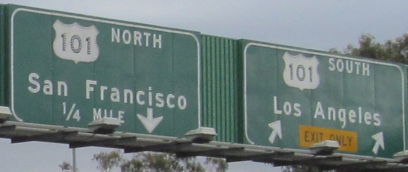
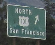
Onto US 101
Back to California Roads
Back to Roads