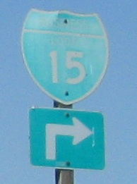
California Roads - I-15 NB - Murrieta to Victorville
 , Murrieta to Victorville
Also along that stretch, but ugly (squished wide shields), so I don't want them at the top of the page.
Who's all the way out here in the middle of nowhere to vandalize signs? Or do people cruise the freeways from Los Angeles and San Diego, waiting until they find a pole stripped of barbed wire, and call their friends to come out at 3 AM and get on up there to paint? Seems much less trouble to just sit at home and drink bleach.
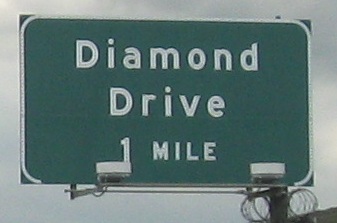
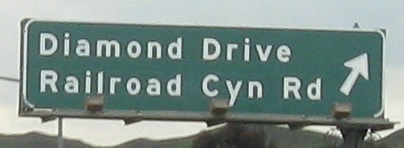
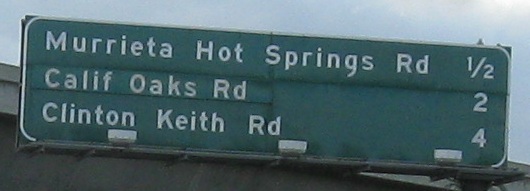
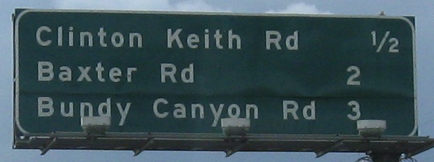
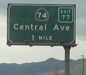
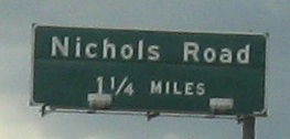
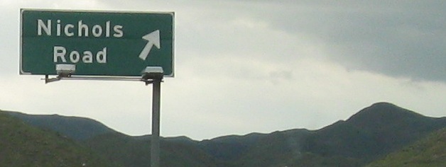
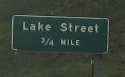
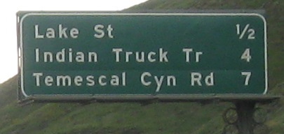
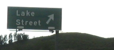
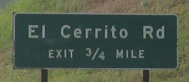
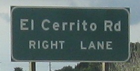
Diamond Drive, 1 mile. Diamond Drive... gone. Guess I missed it. Oh, look, there it is. Quick, swerve all the way across to the exit!
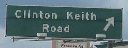
Not only is there a new reflective patch in the middle, but all of the advance signs for that exit are also new and reflective. In that case, moving on.
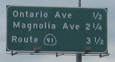
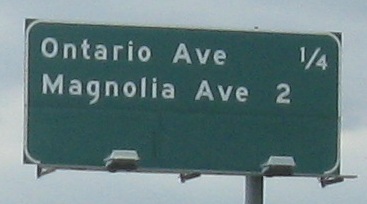
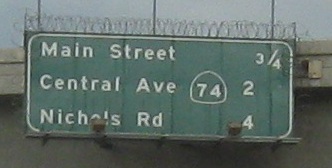
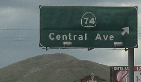
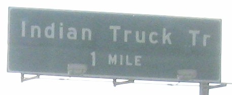
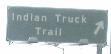
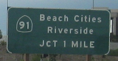
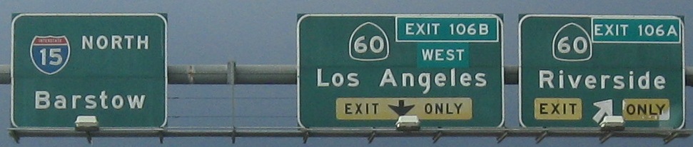
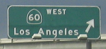
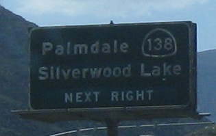
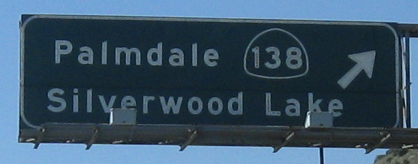
Why did CA 91 disappear off that distance sign? It still exists.
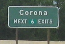
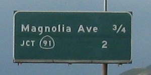
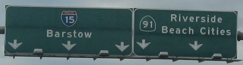
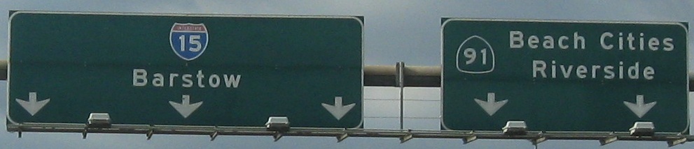
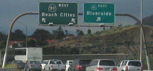
The last photo is on the offramp to CA 91, further proving its existence.
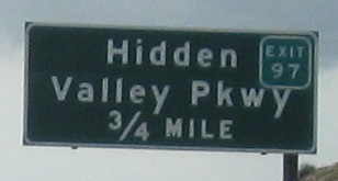
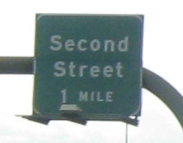
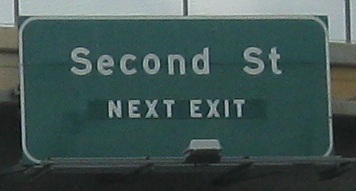
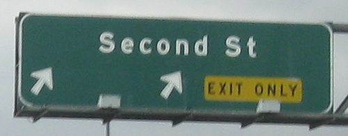
An unusual setup for the last two photos, where the Second Street sign is actually up in the median on the SB gantry, while the Hidden Valley Pkwy. sign is across from it on the right.
I-15 Business begins here and heads up Hamner Ave. to the next exit, but there's only one paltry SB sign (tacked on below the exit guide sign) and nothing in this direction showing it.
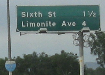
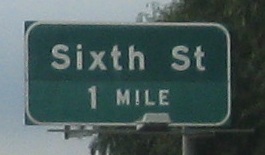
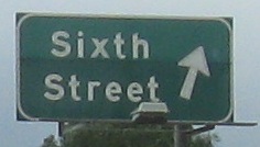
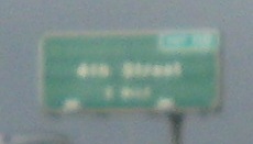
The last photo is 6th St. EB.
With dark gray weather ahead, I exited at I-10 (Exit 109), with a very short life expectancy for the last button copy left.
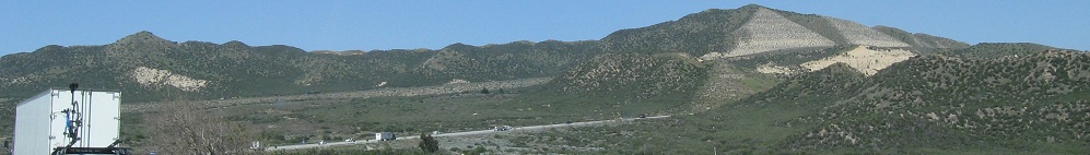
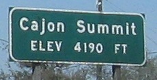
Assorted photos up to about mile 133, where there's about a mile between the NB and SB sides. It would seem the NB side was constructed first, because the demi-pyramids constructed for the SB side are not the way roads were built back in the day.

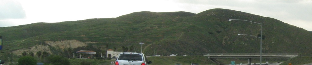
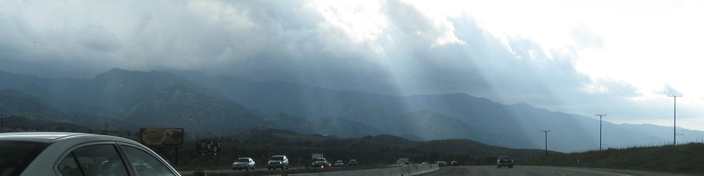
Bell Mountain is to the right, far back past Victorville, but everything in the West seems to be visible from far away compared to the East.
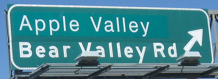
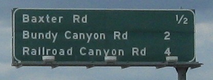
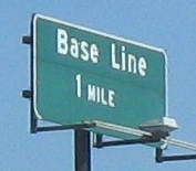
As I said on the SB page, how about Bear Valley Rd. actually going to Bear Valley? This patch is just pathetic. The only way it could be worse would be if it actually covered "Bear Valley." I wouldn't put it past Caltrans.
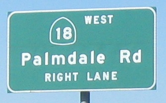
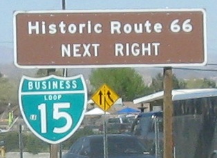
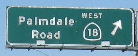
The last two photos are on the Exit 150 ramp, which is to CA 18 WB and Business I-15 NB (and Historic Route 66 EB, leaving I-15). The distance sign before them was a zoom job as I started to exit, for the next three exits along I-15/CA 18.
Over to the SB lanes
Back south on I-15 NB, San Diego to Temecula
Back to I-15 main page
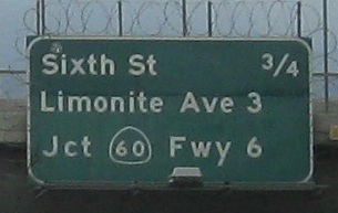
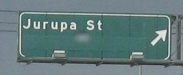
Exit 106 to CA 60
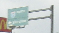
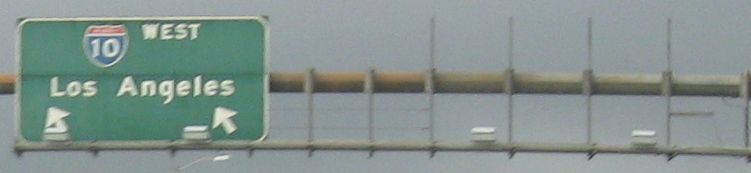
Onto I-10
Onto Business I-15 in Victorville and old US 66
Back to California Roads
Back to Roads