California Roads - I-10 - EB
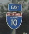
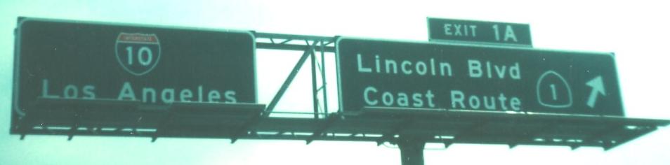
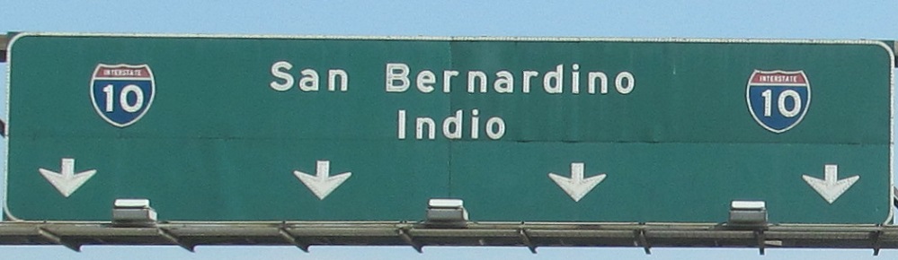
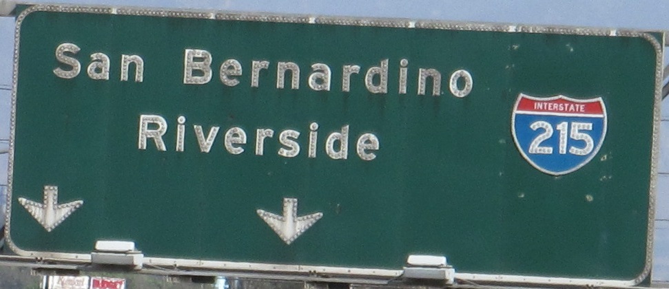
Both of these signs were taken in 1976 by Michael Summa, and showcase the trial exit number signage that was never adopted on other California freeways until 30 years later. The first photo was on I-10 EB just before it begins (began) at the Lincoln Blvd./CA 1 overpass. CA 1's centerline technically follows the freeway to there, but practically speaking, there are a few hundred feet of freeway between CA 1 and I-10. The second photo was from where I-10 begins a complicated interchange/somewhat-multiplex with I-5. Notice that only control cities are given, not directions, which was standard practice way back in the day for California. It took another 30 years to get exit numbers on California freeways.
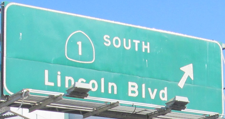
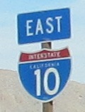
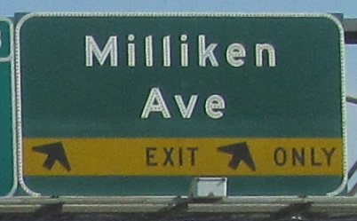
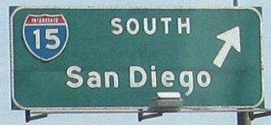
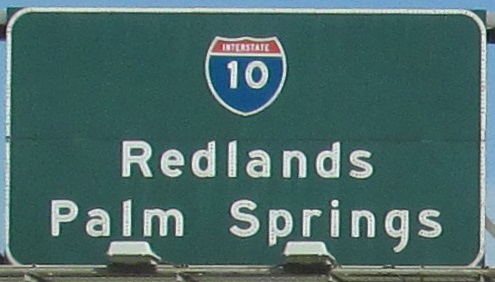
Here's a modern version of that first sign.
 Courtesy Matt Kleiman.
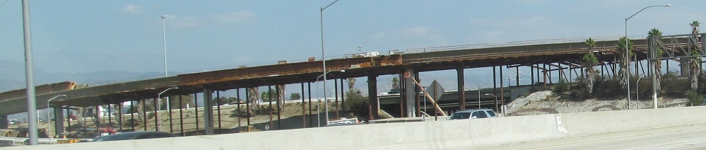
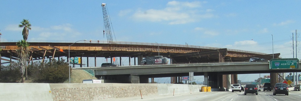
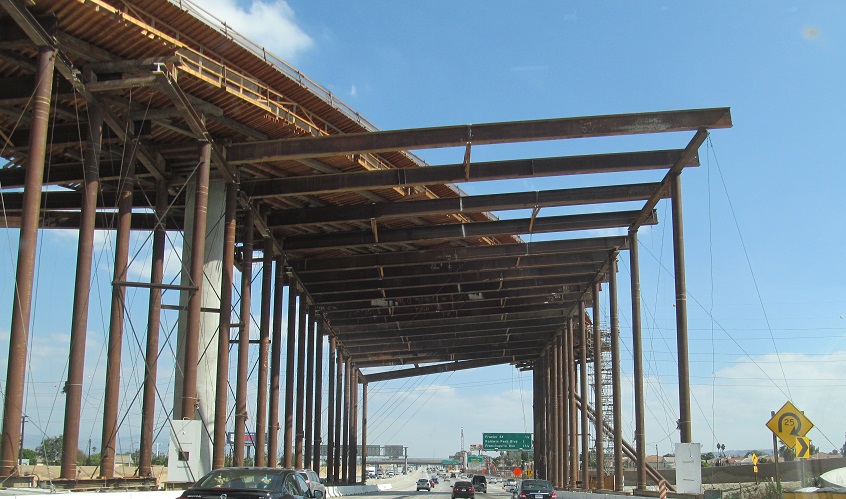
Through reconstruction of the I-605 interchange. The old configuration had a half-cloverleaf for traffic to/from the west and an unusual bulb-shaped or "T" interchange to/from the east, featuring a SB ramp that merged into the WB-SB flyunder and then diverged to I-10 EB. The new configuration involves the SB-EB flyover that you see being constructed, eliminating the ramp weave and the need to merge into NB-EB traffic.
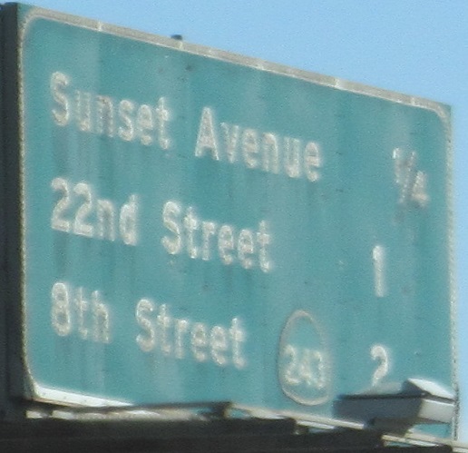
Starting on the Exit 34 ramp, ending on the Exit 42B ramp to CA 71.
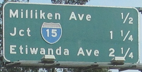
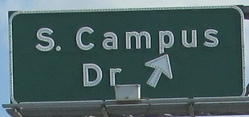
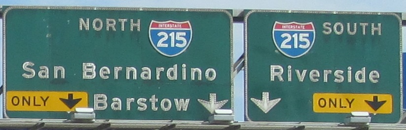
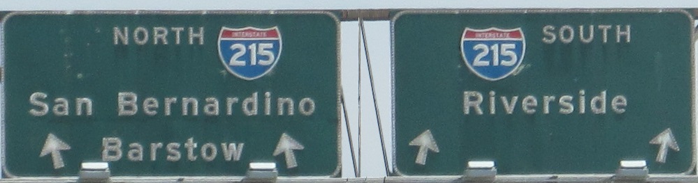
The first photo (now Exit 50) is courtesy Matt Kleiman. The last two are left and right of the same gantry, but I've skipped the boring newer middle sign for I-15 (Exit 58).

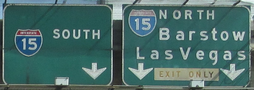
Here are some older signs for I-15. I split the first two photos into four so that you could see the signs on the left and right of each gantry twice as large.
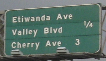
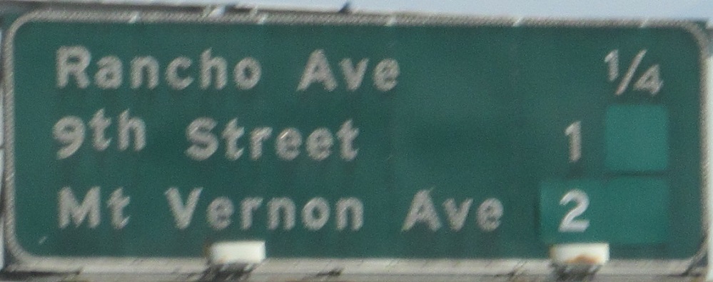
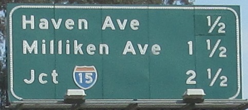
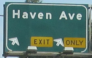
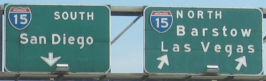
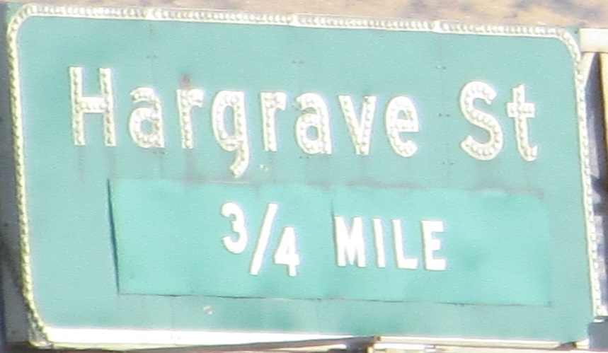
The last 6 photos are left and right of 3 consecutive gantries at what is now Exit 72.
Instead of splitting the photo on the ramp, I just compressed the boring metal part between the signs.
On down the ramp at the east end of CA 60.
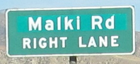
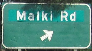
Notice that the name of this road has changed since the button copy days, so very recently. Fields Rd. was named after a former landowner in the area. Malki Rd. is named after the former name of the Morongo Reservation that it leads to. Old man Fields owned property within the limits of the reservation, and his son was unhappy with the change. It's complicated, but it's done.
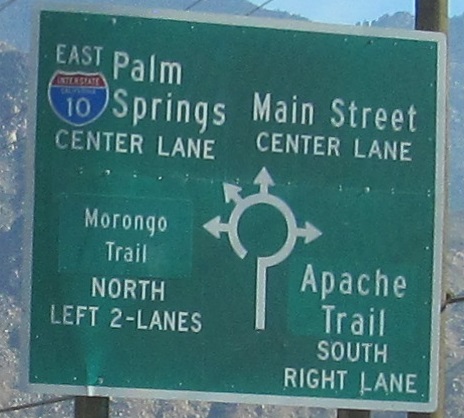
This Exit 104 ramp sign does not help make roundabouts less confusing.
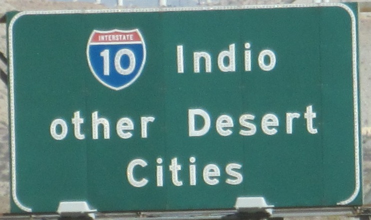
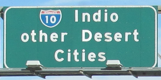
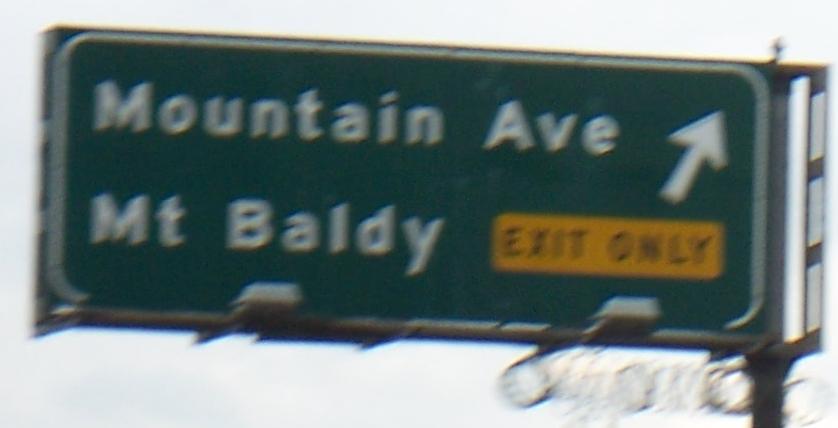
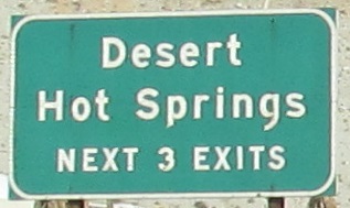
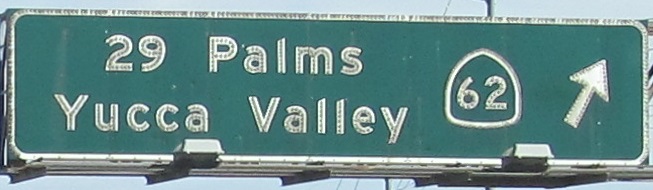
The "other Desert Cities" sign is famous and now gone, so I'm glad I found it. It's on the left side of the Exit 111 advance, and the last two signs are left and right on the Exit 111 gantry, one of the cases where the route number matches the exit number.
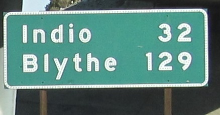
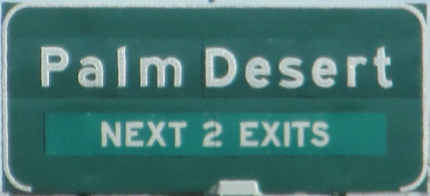
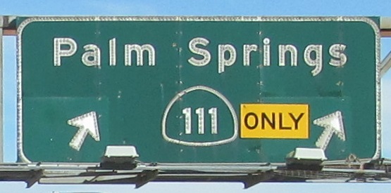
The one road photo among the signs is the old alignment of US 99 as it leaves I-10 on Garnet Ave. into Palm Springs. Exit 120 (as signed in the prior photo) will let you explore it.
Over to I-10 westbound and intersecting streets
Back to I-10 main page
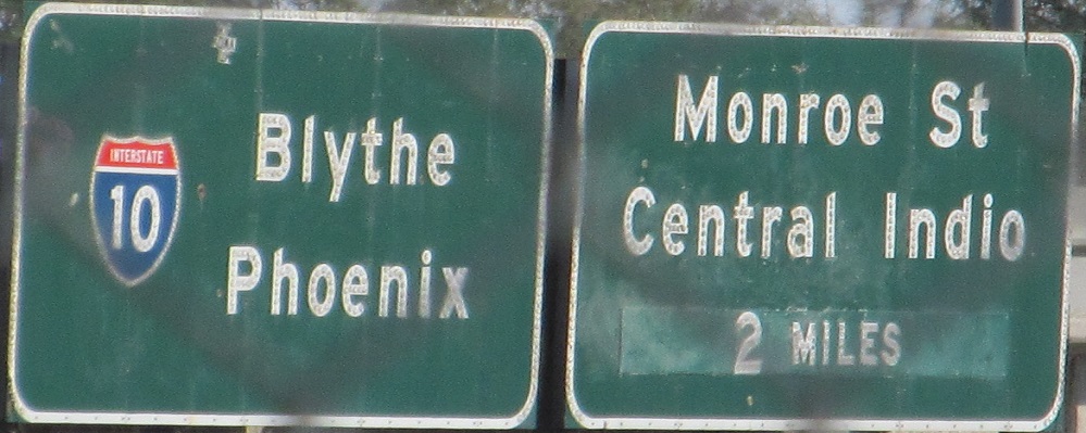
Into Arizona on I-10
Exit 1A to CA 1
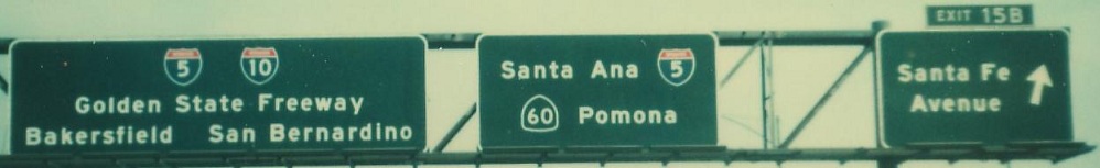
Onto I-5
Onto I-710
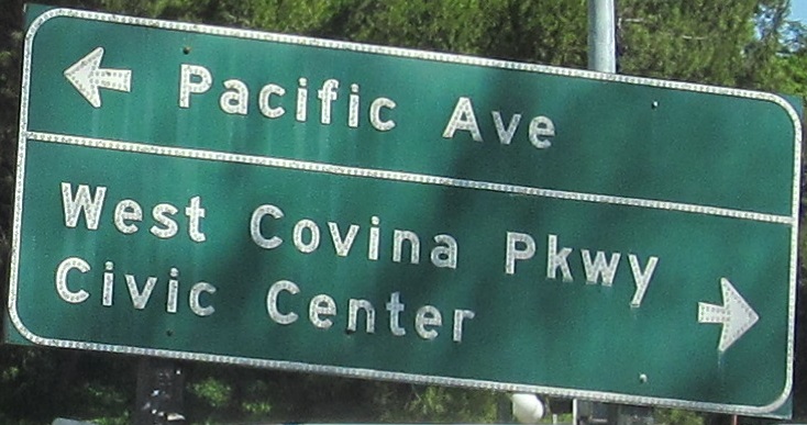
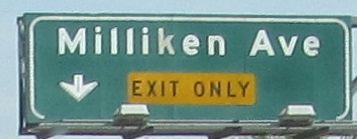
Onto Etiwanda Avenue
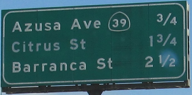
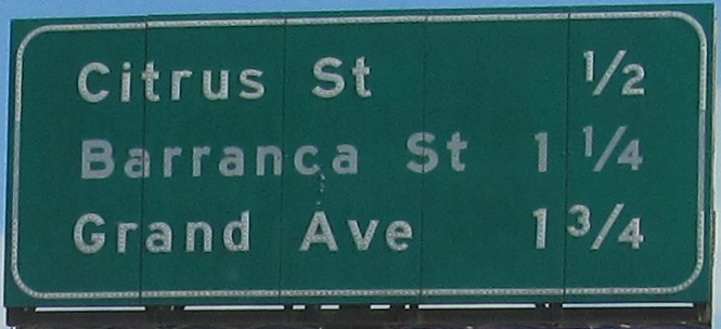
Onto Valley Boulevard
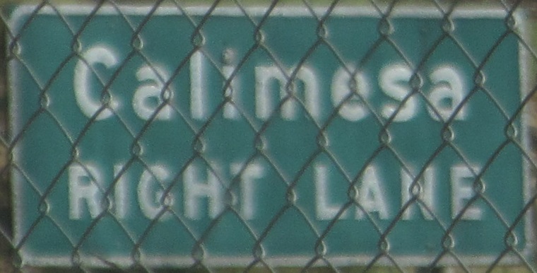
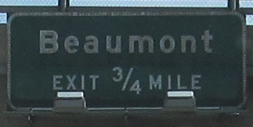
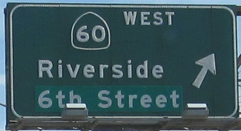
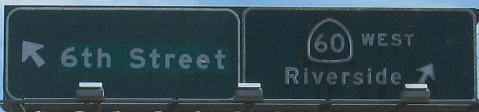
Onto CA 60
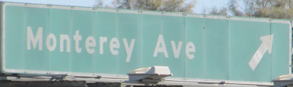
Onto CA 111
Back to California Roads
Back to Roads