California Roads - CA 94 - Surface
CA 94 surface route
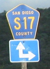
Heading east from CA 125, all of a sudden, there are left arrows and independently mounted shields, signaling the end of the freeway. CA 94 continues on as a southern alternative to the former US 80, but now that that's been replaced by I-8, CA 94 is much less compelling. CR S17 is the designation for the continuous highway that would be CA 54 if it were state maintained. (In no small part, this gap is because of the failure to complete a CA 54 freeway.)
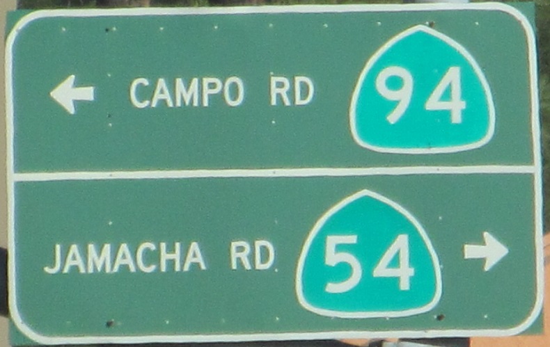
CA 54 is state maintained and does exist east of CA 94, which makes this photo westbound.
This old sign (top) is at the end of an old alignment that is very worth exploring.
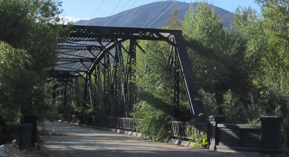
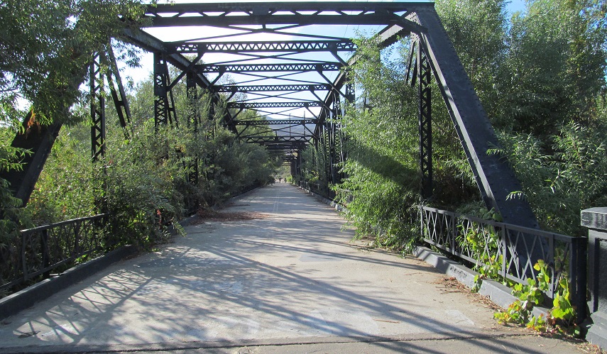
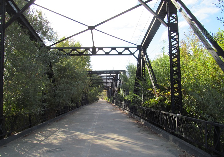
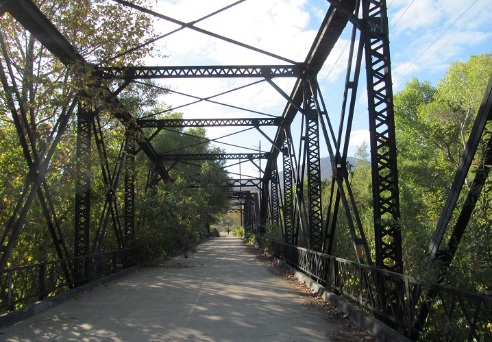
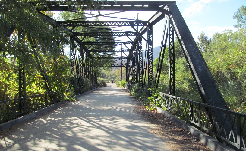
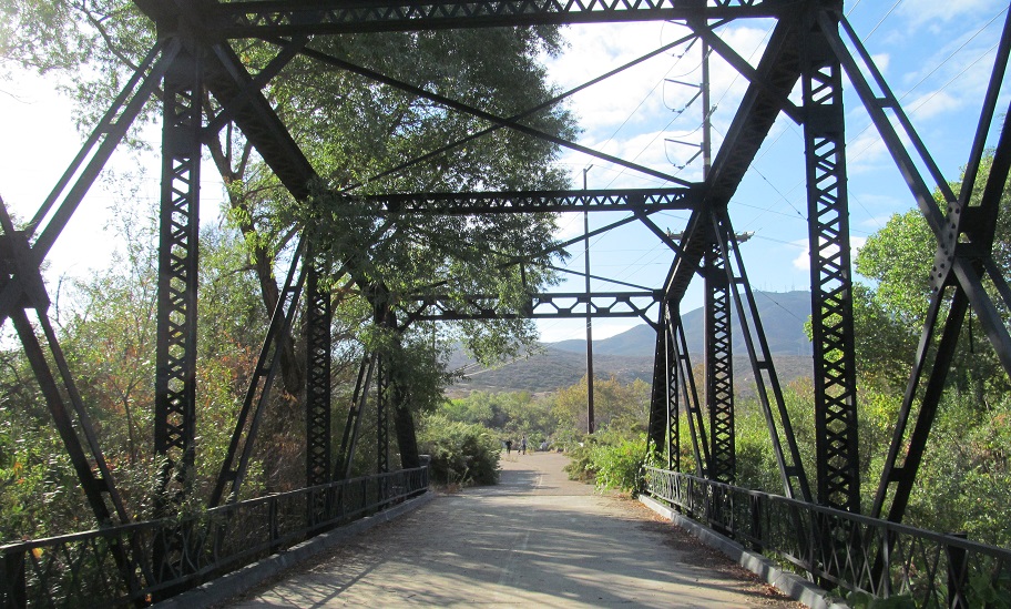
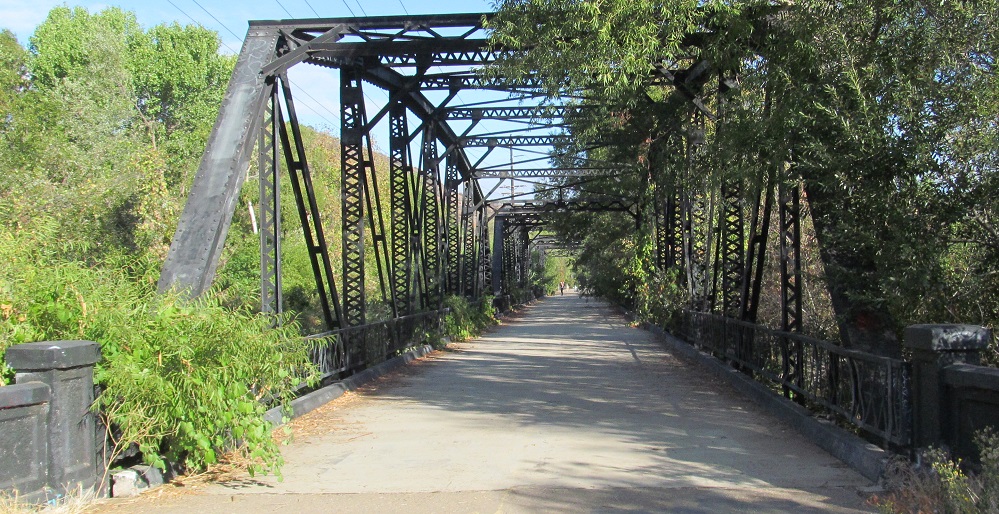
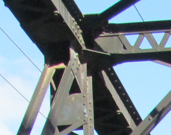
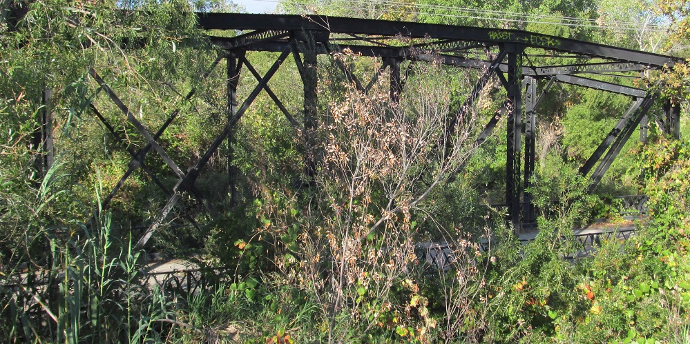
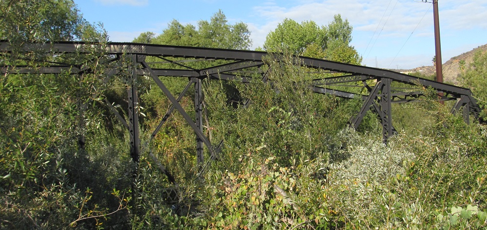
The Sweetwater River Bridge served CA 94 from 1929 to 1987, when it was bypassed by the current bridge over Steele Canyon. Photos head east on the old road.
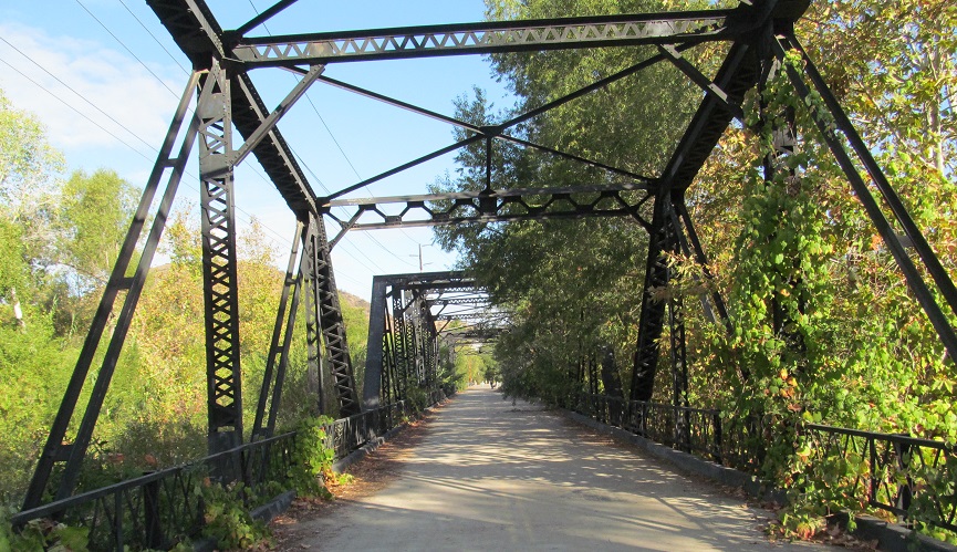
Back west.
All you can see from the modern highway, but that's enough to tell you to stop.
This is not what this sign should look like.
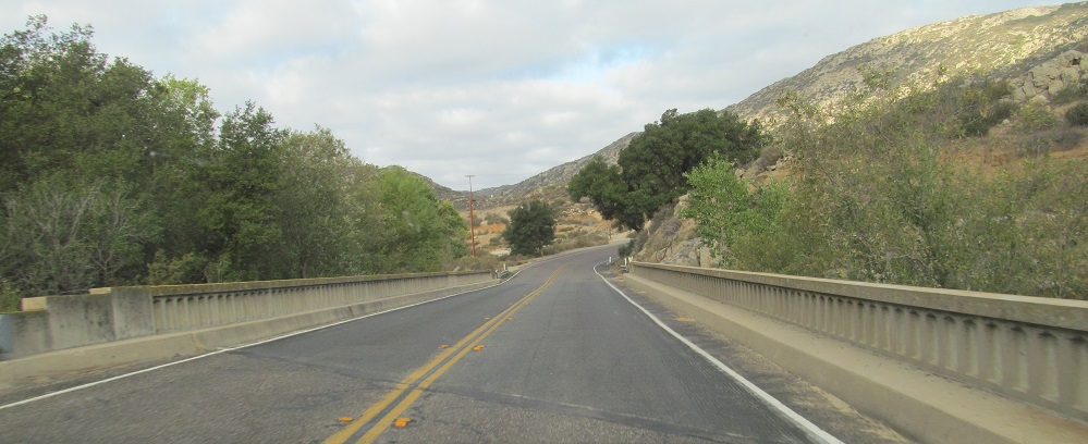
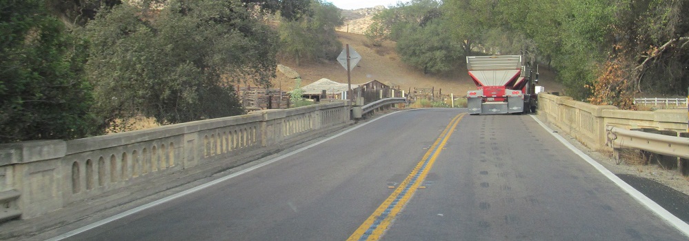
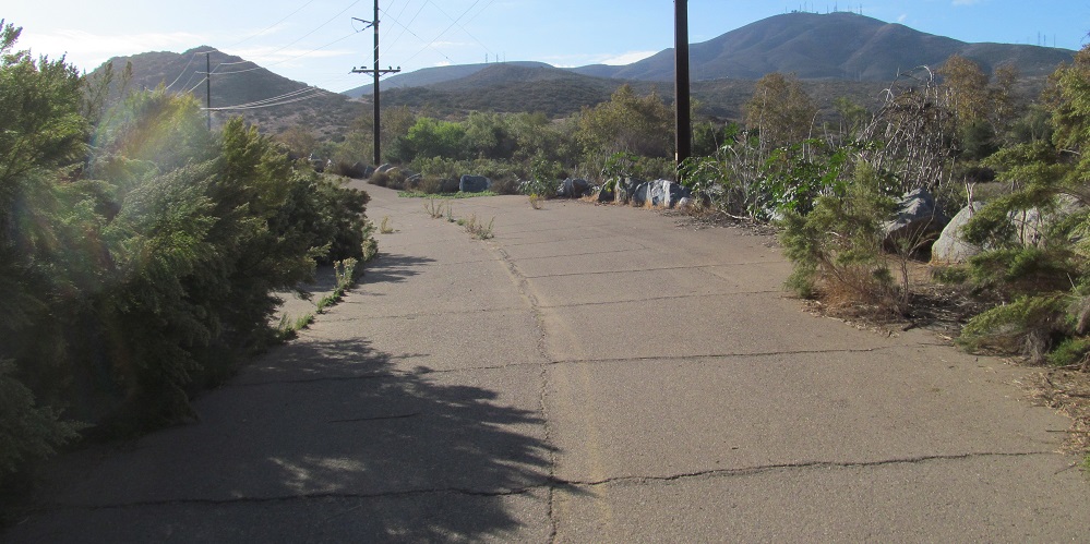
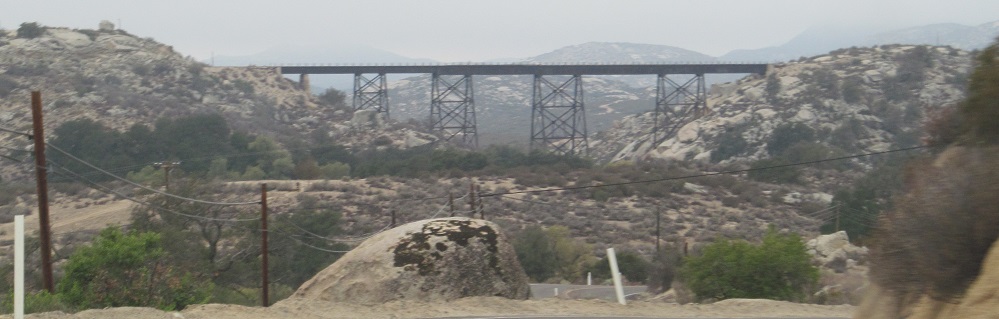
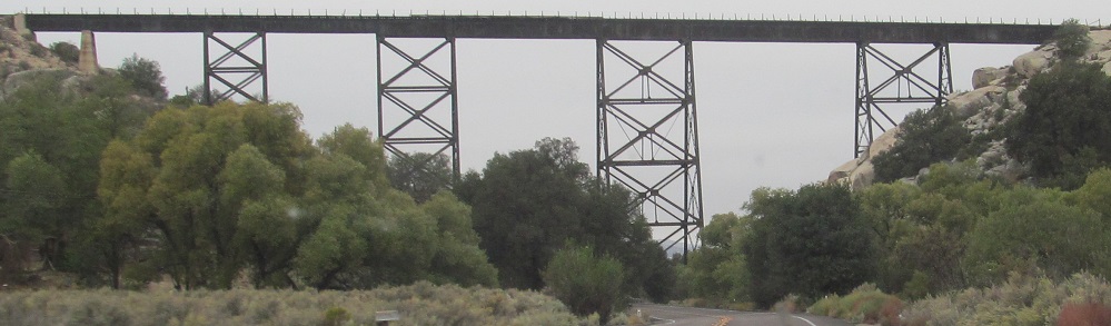
Other old but less interesting bridges, westbound.
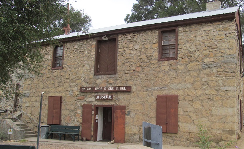
This store dates to 1885, built in response to a raid on the original wooden one.
WB across Campo Kumeyaay Nation and its bisecting railroad. The assembly and shield are both wrong. Look at the '9'.
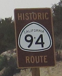
I mean yes, this is the historic route of CA 94 from back when white shields were used. But it's still CA 94 now. What purpose does this sign serve? Move it to Sweetwater River.
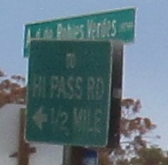
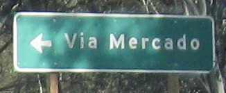
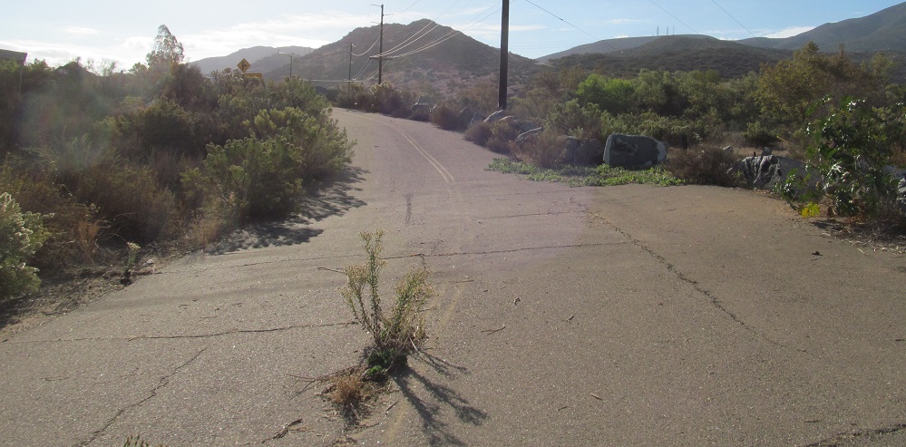
EB at Avenida de Robles Verdes, which loses pavement where it changes names, just before CA 94 ends.
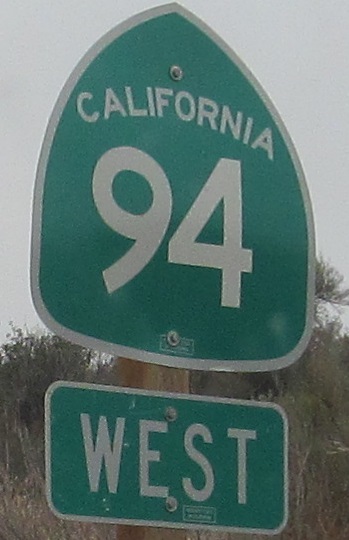
Continue west on CA 94
Back to CA 94 main page
Onto CR S17
Onto CA 54
CA 94 Non-Roads
Back to California Roads
Back to Roads