California Roads - CA 110 NB/US 66 EB
CA 110 NB and former US 66 EB
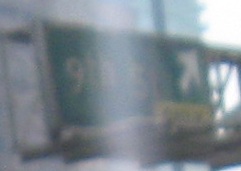
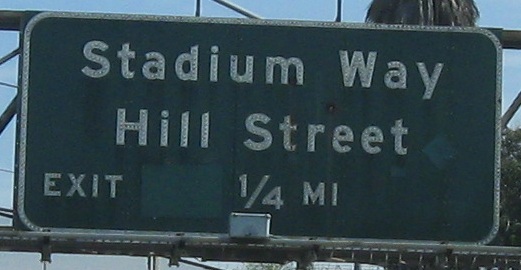
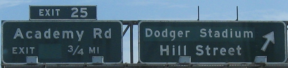
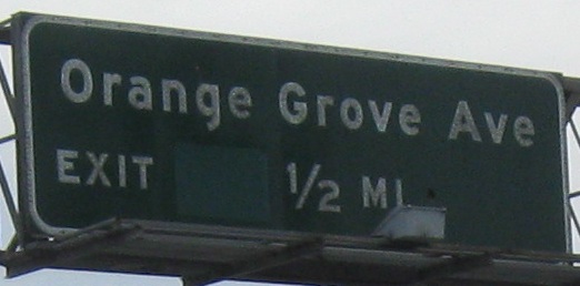
From I-10 up to the Exit 24 ramp. The fact that there's even one exit tab left on the whole freeway is surprising. It's a remnant of an early 1970s (give or take 5 years) experiment where Caltrans figured out it didn't want to catch up to other states that had adopted the practice. Well, now that new exit numbers are rolling in, this is still about the only one that can be called a "tab", because all the new ones are going inside the sign. Don't ask me, ask Caltrans.
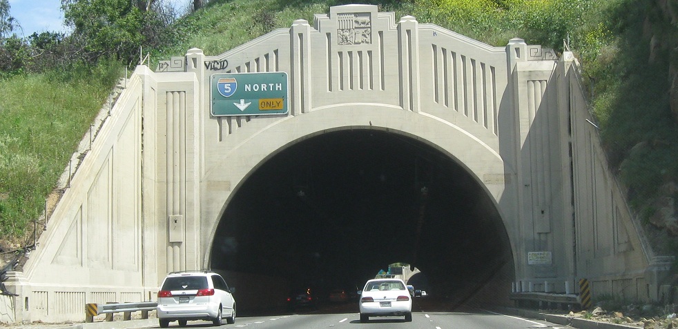
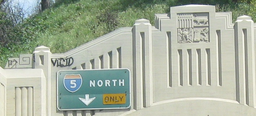
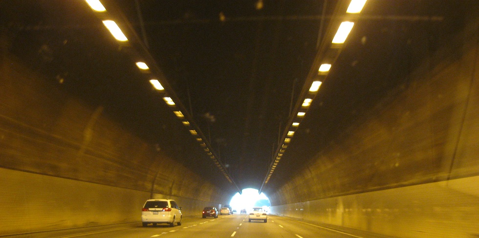
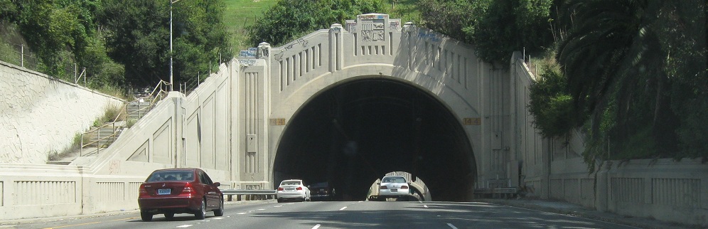
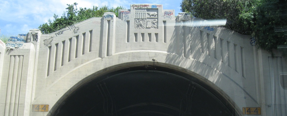
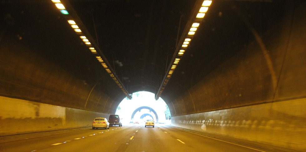
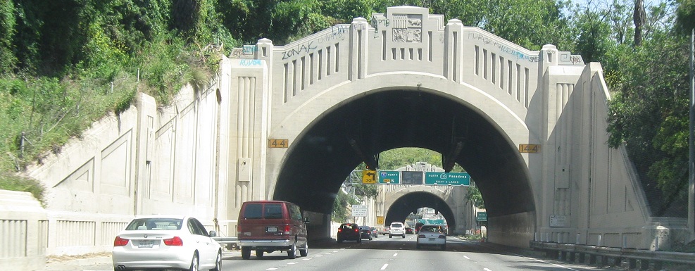
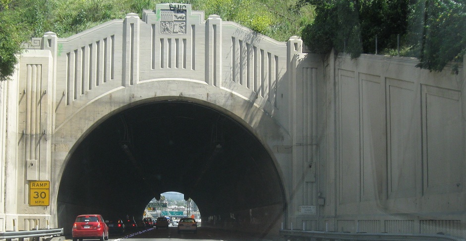
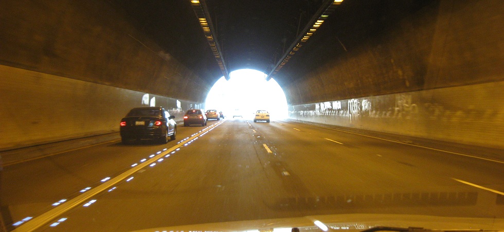
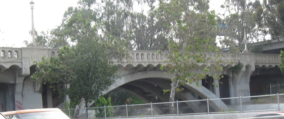
Through the famous Figueroa Street Tunnels, although the freeway has subsumed this part of Figueroa St. They were originally built to handle two lanes of US 66 each way as a North Broadway bypass around Lincoln Heights, and then briefly carried both directions of the Arroyo Seco Parkway from 1940 until the SB side was opened in 1943. US 66 remained on the Parkway north of Sunset Blvd. until 1964, while the original route along Figueroa St. and Colorado Blvd. (including the stunning bridge over Arroyo Seco) was designated US 66 Alternate. In 1964, US 66 was pulled back to end in Pasadena, off of the Parkway entirely. The LEDs in the last tunnel leading up to the I-5 exit are an interesting application of new technology in an old structure.
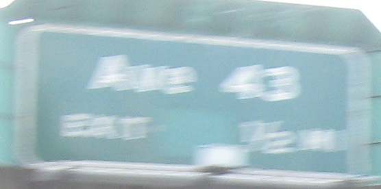
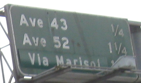
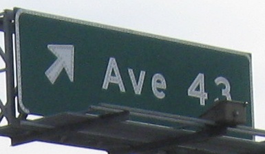
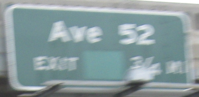
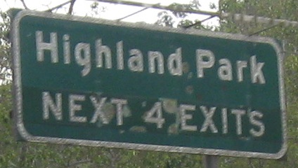
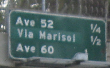
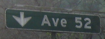
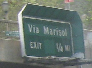
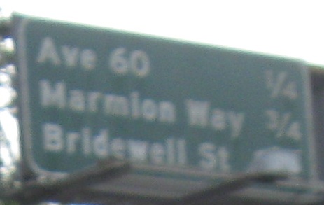
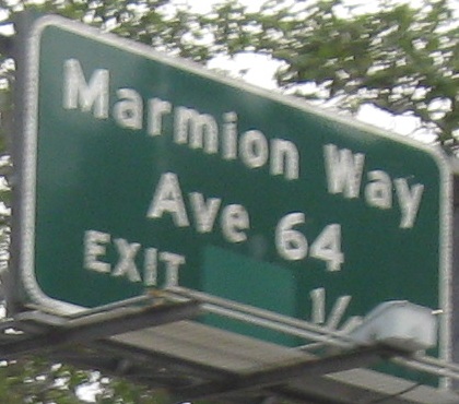
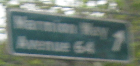
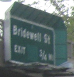
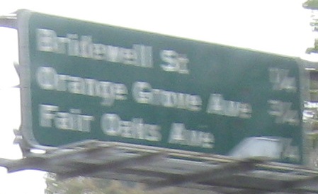
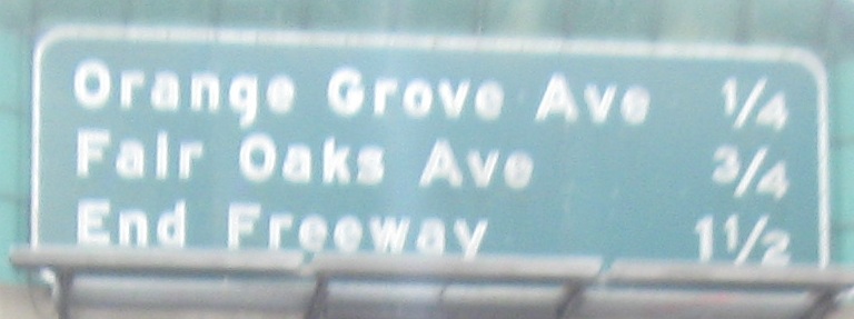
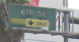
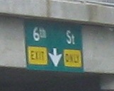
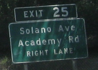
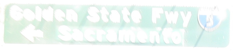
From the Ave 26 overpass (which just happens to be Exit 26) to the end of the Parkway's NB button copy. A lot of these signs, with one line, arrows on the left, down arrows, etc. harken back to early sign practices well before any sort of national standardization, when few states even had freeways, let alone guide signs. Notice that the last distance sign treats "End Freeway" like just another exit, or maybe a destination. Makes more sense than "Pasadena."
Back south on I-110 NB
Over to the SB lanes
Continue east on old US 66 to Figueroa Street
Back west on old US 66 to Sunset Boulevard
Back to CA 110 main page
Onto I-5
See more of Los Angeles
Back to California Roads
Back to Roads