California Roads - CA 1 - Pacifica-Pt. Reyes Station
CA 1, Pacifica to Point Reyes Station
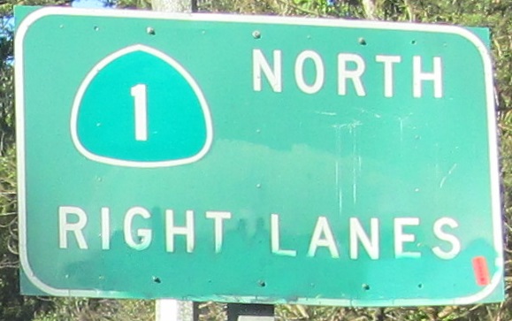
Photos are northbound unless otherwise stated.
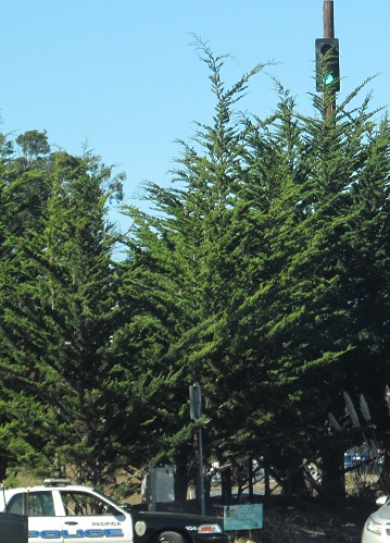
Of course there'd be a cop at this light, right? This was the craziest part of a temporary signal at San Pedro Ave. in Pacifica during construction, and there were other signal heads in a more normal position. This one was intended to be visible to traffic entering town from up the hill.
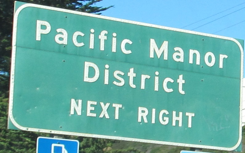
Exit 507 and its ramp.
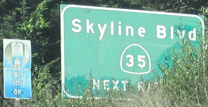
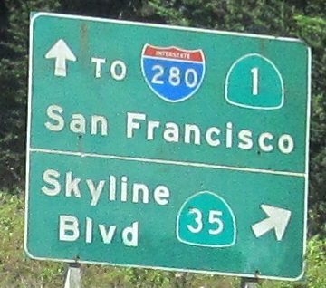
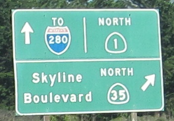
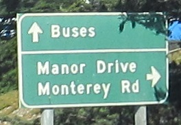
Exit 508 and its ramp. There was also button copy at the CA 35 SB exit but my photo isn't good enough to share. I failed again, that's twice on this road.
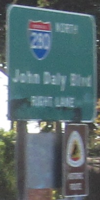
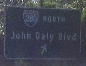
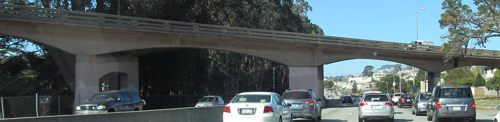
CA 1 SB at the last exit before a short I-280 SB concurrency, with John Daly Blvd. bridging the connection to I-280 NB. As I noted on a more southerly page, if you just stick with CA 1 you'll generally stay with the Juan Bautista de Anza National Historic Trail. He was an early Spanish pioneer who traveled from Mexico to the Presidio area of San Francisco in the heady times of 1775-1776 to establish a colony for New Spain. The other colonies had no idea this even existed, so the years are just a coincidence.
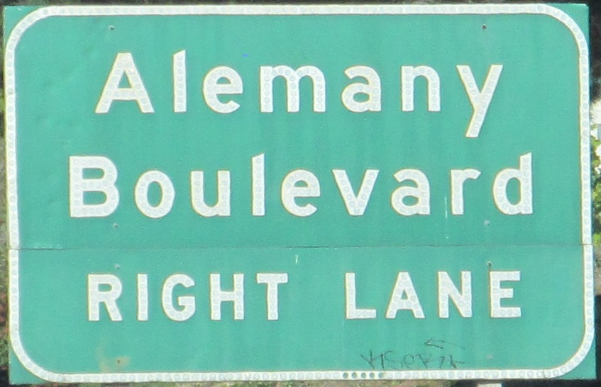
NB with I-280 to the first exit after they split. The overpass is the end of Alemany Blvd. WB.
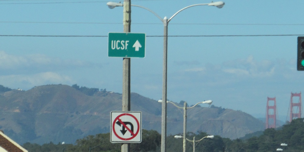
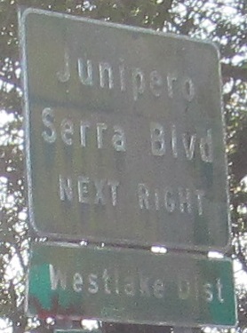
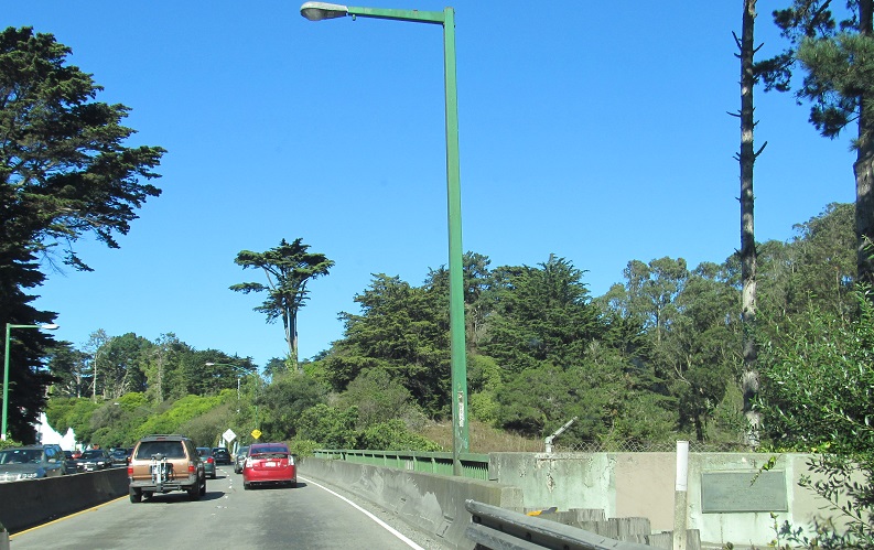
The second photo is at Sloat Blvd. (CA 35 to the left) and the third is at Pacheco St. The light poles are interesting, and there's some weird red towers to the right I can't identify.
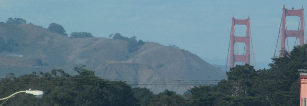
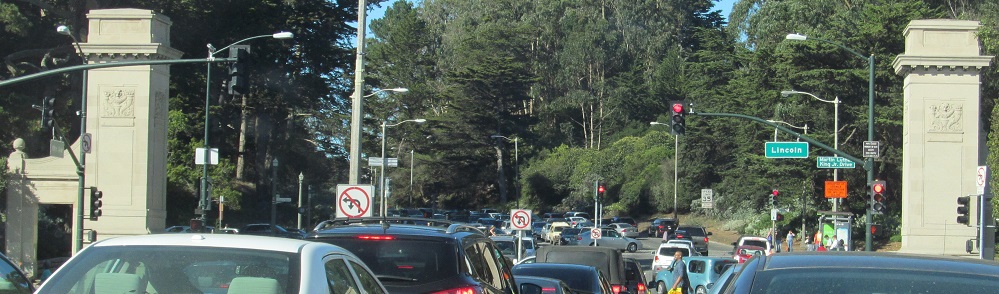
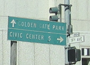
While I try to figure out what those towers are, I first face the entrance to Golden Gate Park at Lincoln Way. I wonder if they're related.
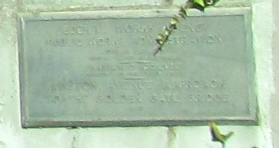
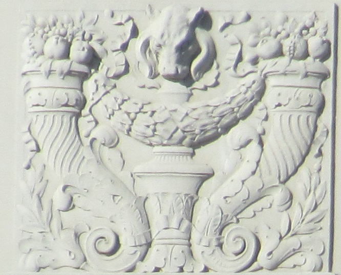
Across Golden Gate Park to the bridge over Mountain Lake Trail in the Presidio. The plaque is from the Federal Works Agency, Public Works Administration on the Funston Ave. Approach to the red tower thingy. Funston Ave. is between 12th and 14th Aves., another mystery I leave to you to untangle.
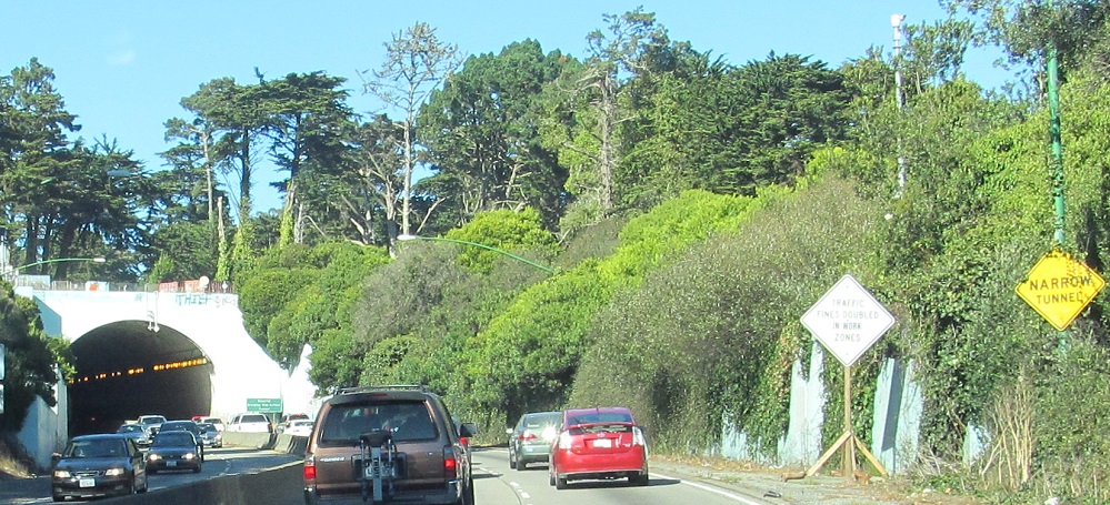
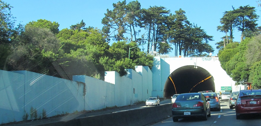
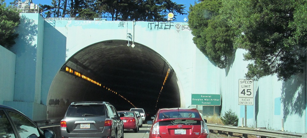
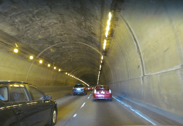
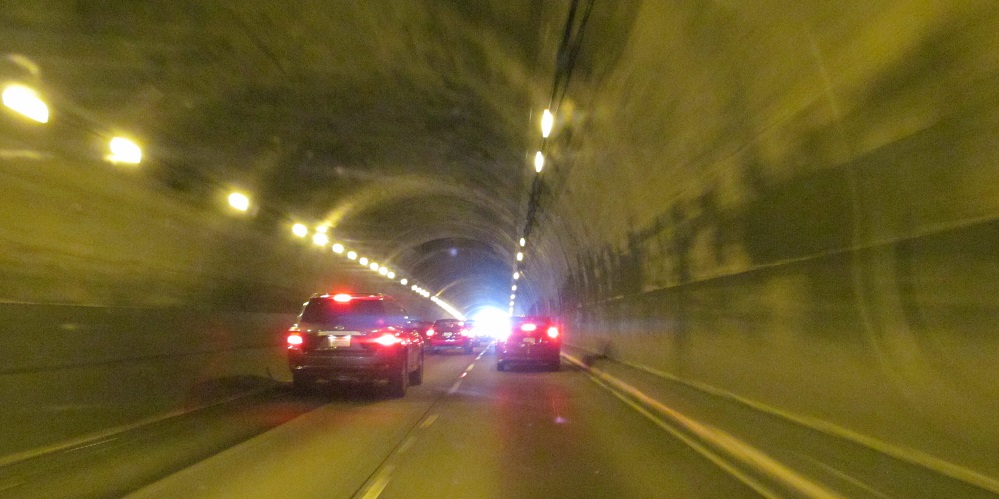
The 1940 Presidio or Funston Ave. Tunnel, since renamed as you see in the 3rd photo, was the last piece of the Golden Gate Bridge approach to be built, whatever that is. The bridge opened in 1936, and for 4 years the only approach was along Doyle Dr. (now US 101). Funston Ave. was supposed to have opened in 1937 but difficulties with permits delayed construction. The tunnel appears to be about 46' total width, made even narrower by the addition of a median barrier. It's a spicy ride if traffic's moving.
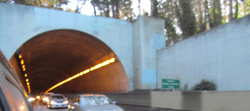
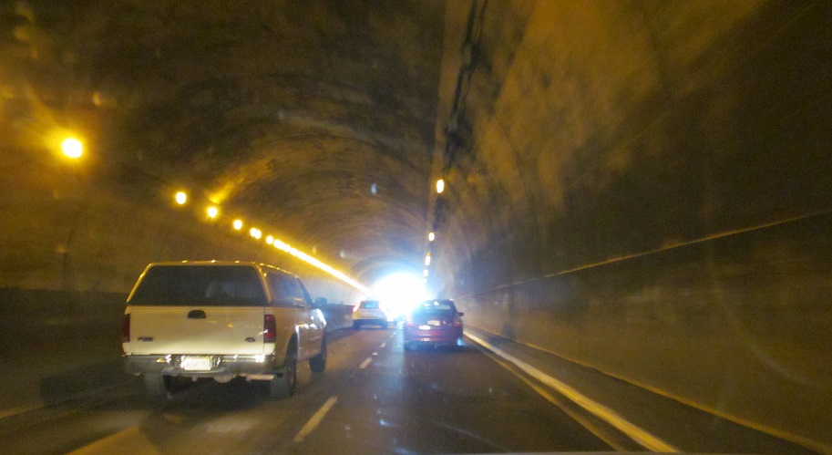
One look back south at the tunnel mouth. That rhymed.
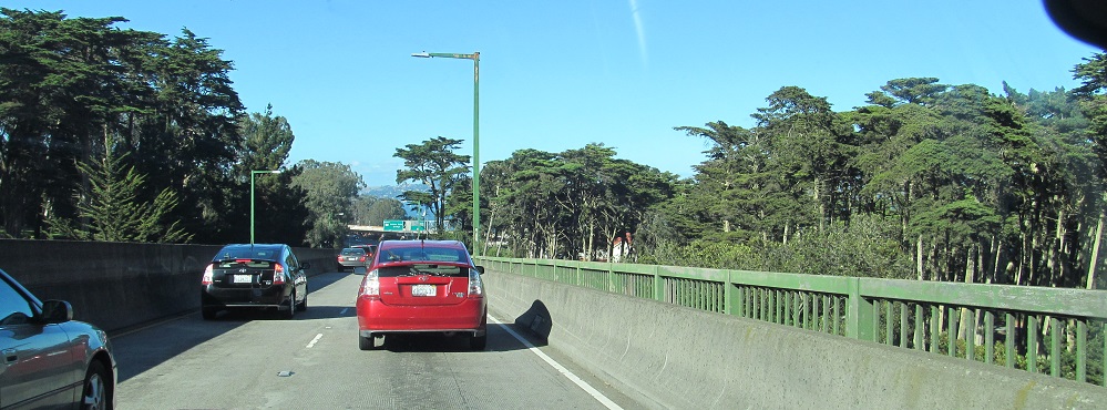
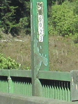
The Presidio dips for a bit, so CA 1 takes a bridge over Hitchcock St. and Kobbe Ave.
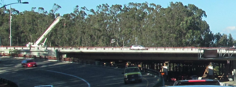
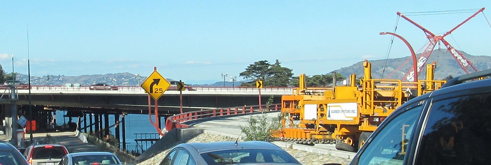
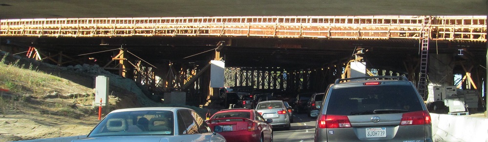
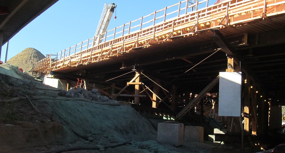
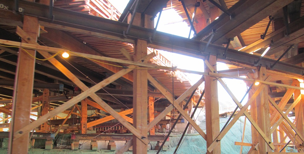
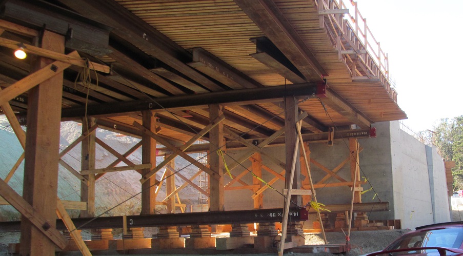
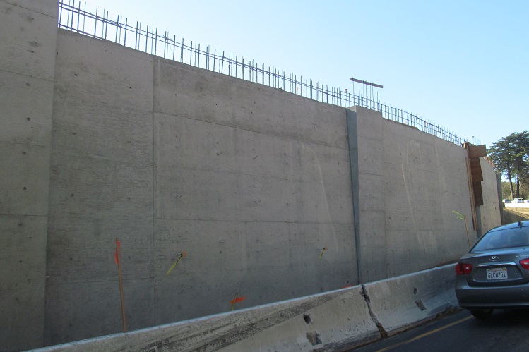
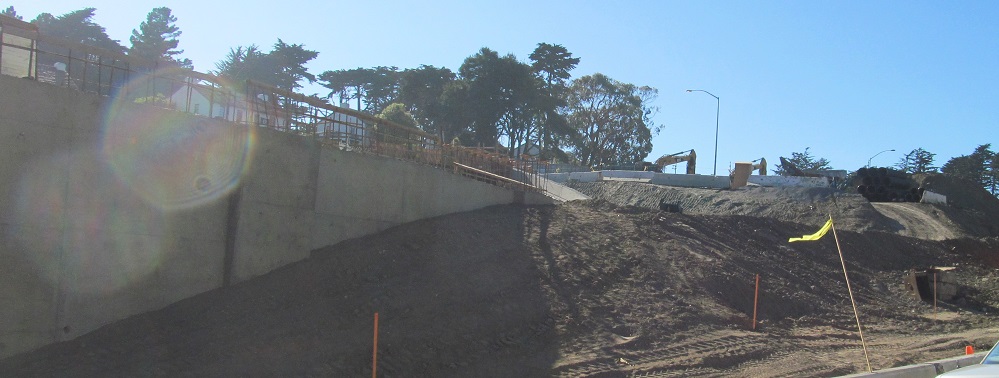
Up to US 101/Doyle Dr., being reconstructed and widened through the CA 1 interchange. The CA 1 NB-US 101 SB ramp is closed and all traffic is on the new US 101 SB. The last photo looks east along US 101 and the future merge from CA 1 NB.
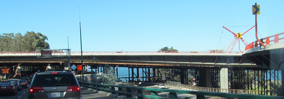
As I cross under the future NB roadway, US 101 is on the left and the NB ramp to CA 1 SB is on the right.
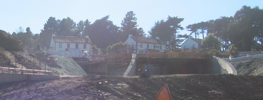
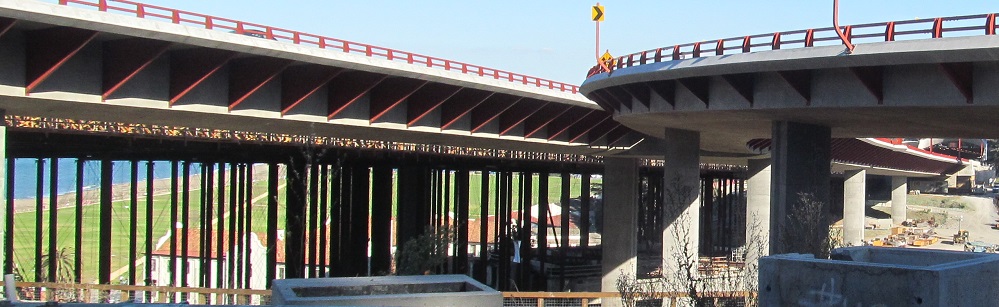
I emerge on the north side of US 101 and prepare to merge. The last photo looks south where the US 101 NB ramp loops under the freeway and back east to merge into CA 1 SB.
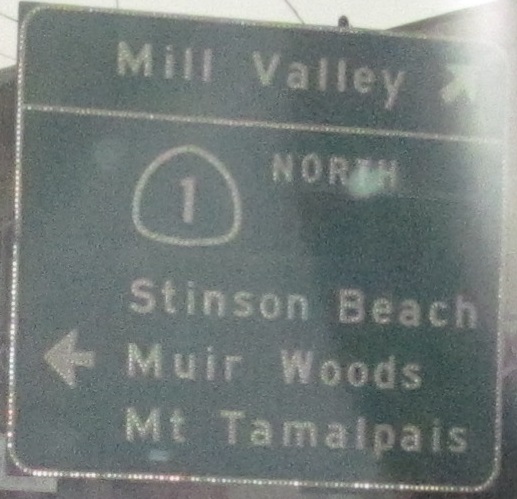
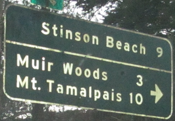
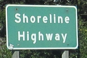
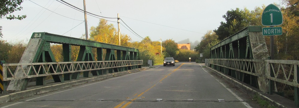
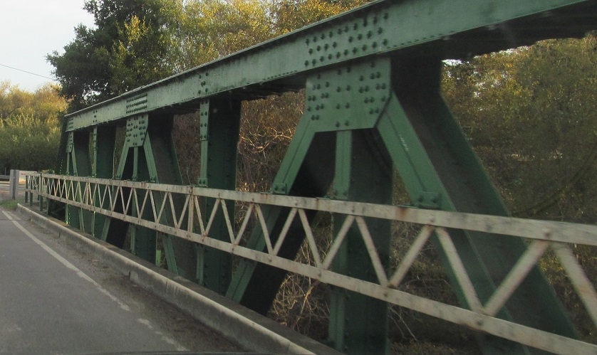
Skipping the fourth and final US 101 concurrency, photos go from Almonte Blvd. in Mill Valley up to Stinson Beach. Notice that the bridge is a tsunami evacuation route. Might be more noticeable on a sign facing traffic at normal sign height.
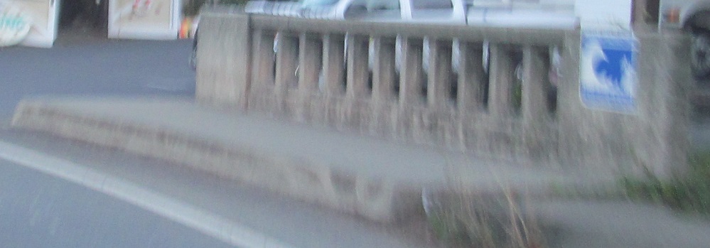
The page ends on the 1930 Lagunitas Creek Bridge.
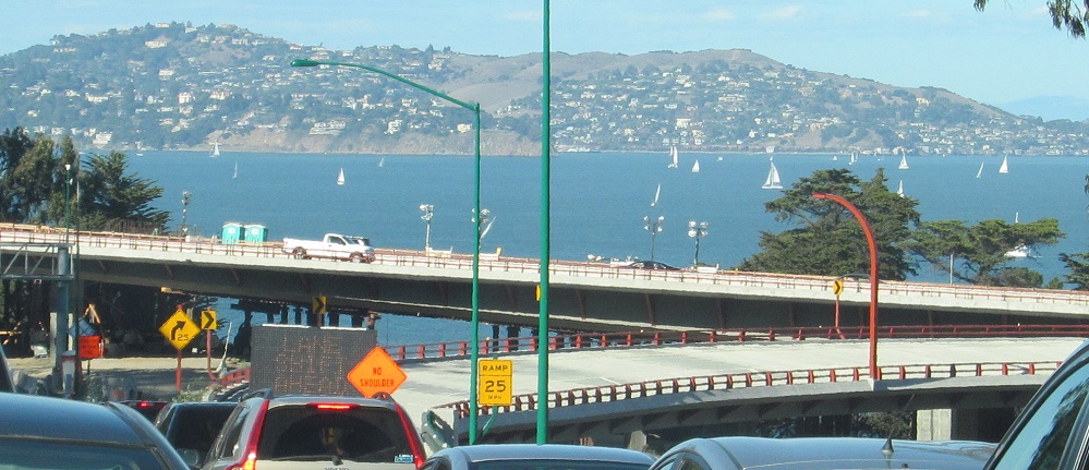
CA 1/US 101, San Francisco-Sausalito
CA 1/US 101, Golden Gate Bridge/red bridge thingy
~ Side views of the Golden Gate Bridge
Continue north on CA 1
Back south on CA 1
Back to CA 1 main page
Onto I-280
Onto US 101 alone
See more of San Francisco
Back to California Roads
Back to Roads